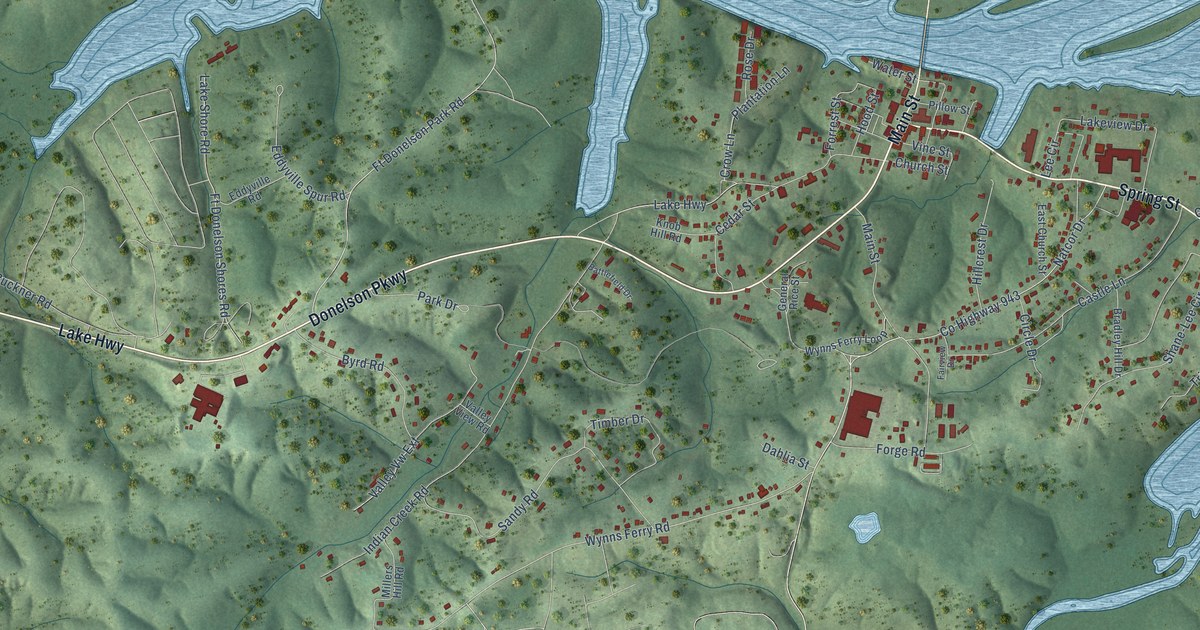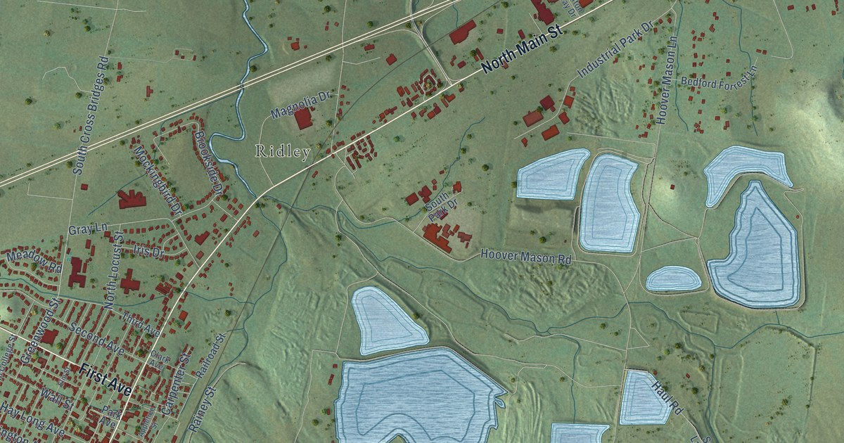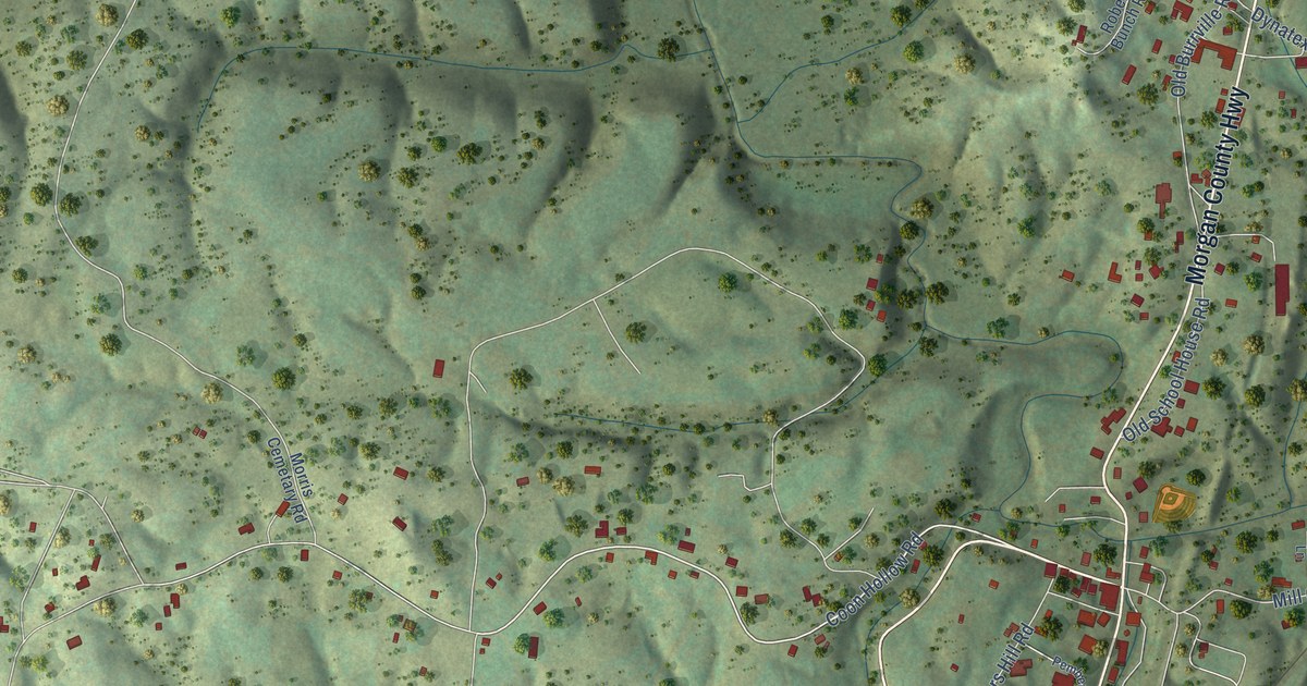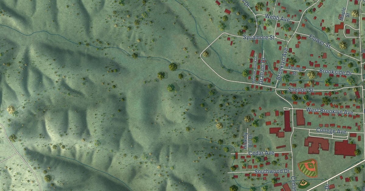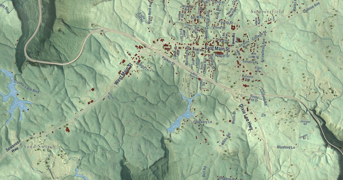
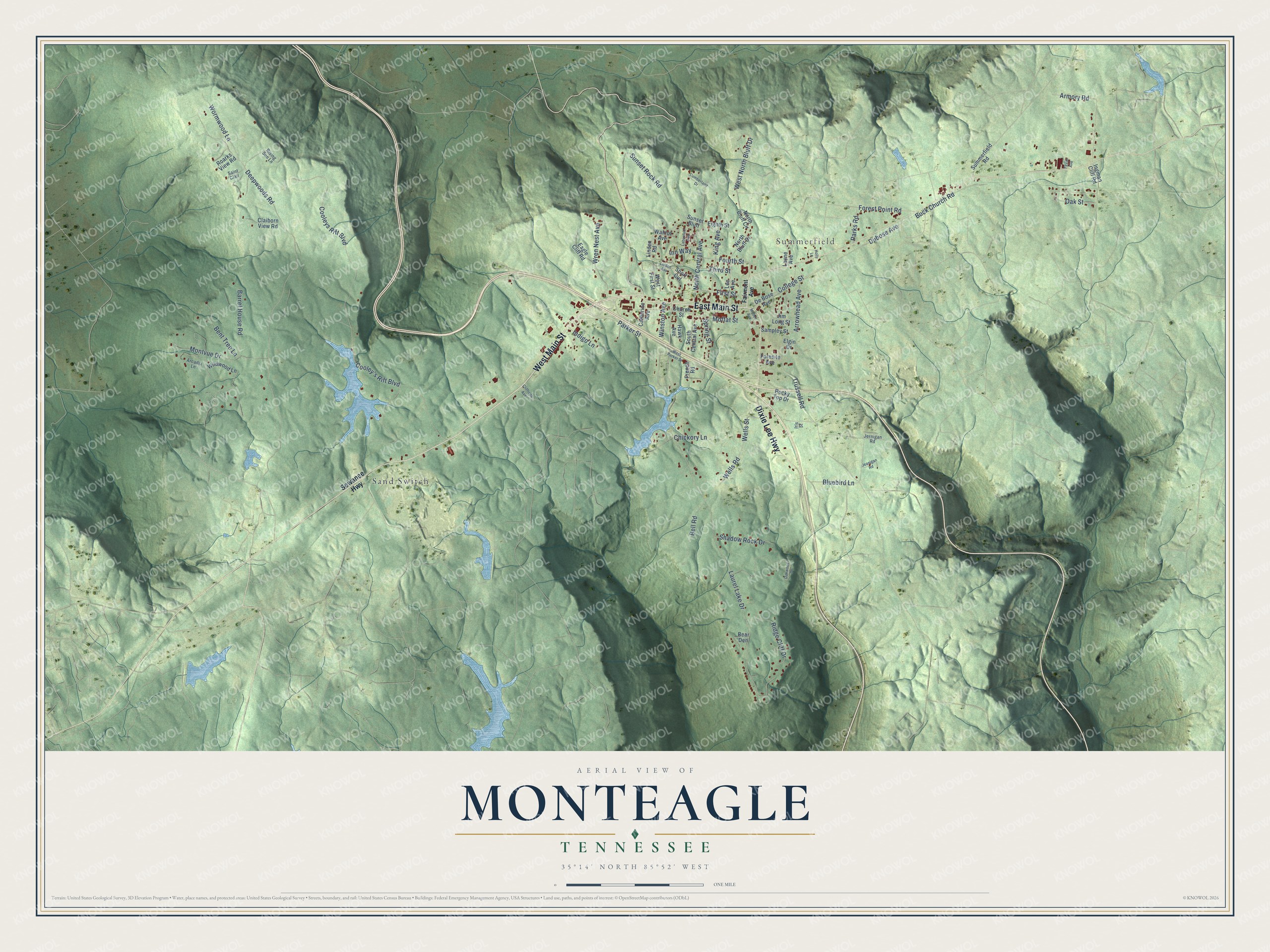
This beautifully detailed map of Monteagle, Tennessee was created in 2026 using aerial imagery combined with modern topographical, census, street and landmark data. It's a modern aerial view of Monteagle in Grundy County, Tennessee, that combines modern data with a vintage aesthetic. The roads feature printed names, and if you look closely you can find your exact house accurately shown in its correct location.
Explore an aerial view of Monteagle, Tennessee
On this map you'll find Summerfield, Sand Switch, West Main Street, East Main Street, Dixie Lee Highway, Fourth Street, North Central Avenue, West North Bluff Drive, Laurel Lake Drive, Deepwoods Road, Trussell Road, Cooleys Rift Boulevard, and more. Each red shape is a building, so zoom in on the preview and look for yours.
Here is a piece of Monteagle history, in the words of the record. The Tennessee Encyclopedia puts it this way: "That fall, a site selection committee accepted an offer from Monteagle, Tennessee, and the Tennessee Coal and Railroad Company to establish an assembly on the Cumberland Plateau. The railroad and John Moffatt, the town's founder, each gave the assembly five-thousand-dollar grants."
Monteagle is a town in Grundy County. The Census Bureau counted 1,393 people here in 2020.
Take a closer look at the Monteagle map
Names on this map
These names are printed on this map.
Places: Summerfield and Sand Switch.
Streets and roads: West Main Street, East Main Street, Dixie Lee Highway, Fourth Street, North Central Avenue, West North Bluff Drive, Laurel Lake Drive, Deepwoods Road, Trussell Road, Cooleys Rift Boulevard, College Street, Dubose Avenue.
More street names, A to Z
Arcadia Lane, Armory Road, Arrowhead Avenue, Barrel House Road, Bear Den, Bell Road, Bent Tree Lane, Bluebird Lane, Buck Church Road, Catherine Avenue, Chickory Lane, Church Street, Claiborn View Road, Clifftops Avenue, Cooley's Rift Boulevard, Cumberland Drive, De Bose Avenue, Eagle Cliff Road, Eighth Street, Elgin Drive, Fairmont Avenue, First Street, Foresite Avenue, Forest Point Road, French Road, Hawk Avenue, Holly Lane, Indigo Lane, Ingman Cliff Road, Inn Way, Iris Street, Jeanigan Road, Jernigan Road, Jim Long Street, King Avenue, Laburnum Avenue, Layne Avenue, Lee Avenue, Linden Avenue, Linden Road, Mabee Avenue, Moffat Street, Montvue Drive, North Bluff Circle, North Bluff Drive, Oak Street, Oakwood Drive, Parker Street, Parks Road, Ridge Cliff Drive, Rising Sun Lane, Roarks View Road, Rocky Top Drive, Saint Clair, Sampley Street, Sewanee Highway, Shadow Rock Drive, Short Cut, South Central Avenue, Spring Street, Summerfield Road, Sunset Bluff, Sunset Rock Road, Taylor Avenue, Third Street, Walnut Avenue, Wells Road, Wells Street, West First Street, West Parker Street, Wildwood Lane, Winston Avenue, Wormwood Lane, Wren Nest Avenue.
Created by KNOWOL in 2026. The buildings are small red shapes, the roads carry their printed names, and shaded relief shows the shape of the land. The title panel reads "AERIAL VIEW OF MONTEAGLE TENNESSEE" with 35°14' NORTH 85°52' WEST.
It suits a den, a classroom or a front hall, and it makes a gift for anyone with Monteagle roots. Open the preview and find the block you know. See sizes and frames for the Monteagle map.