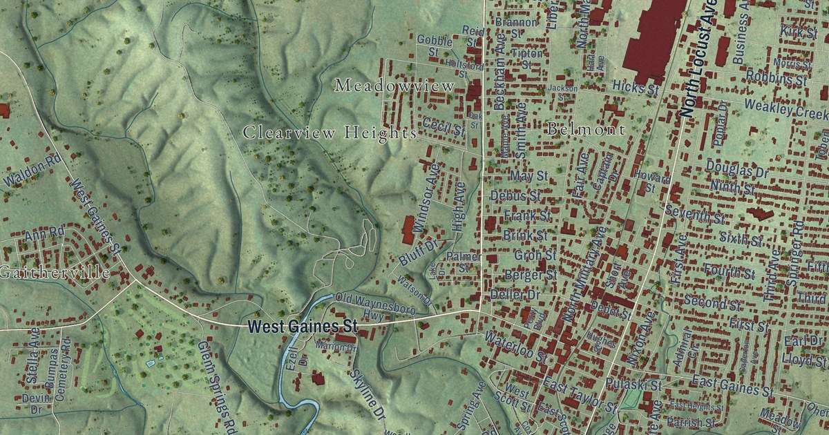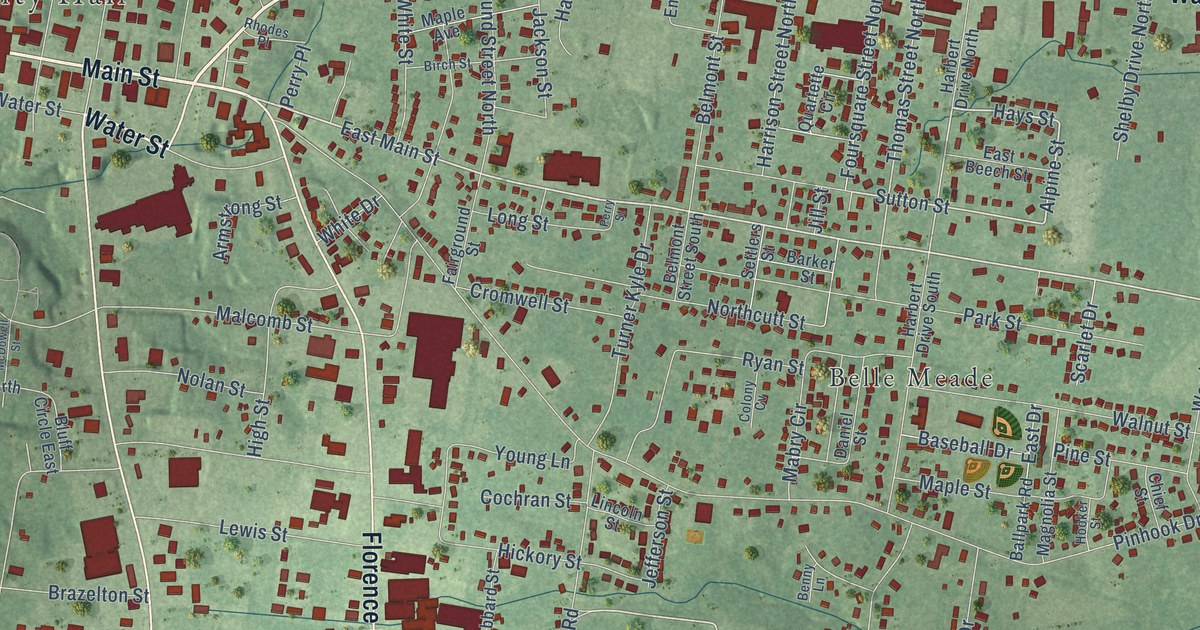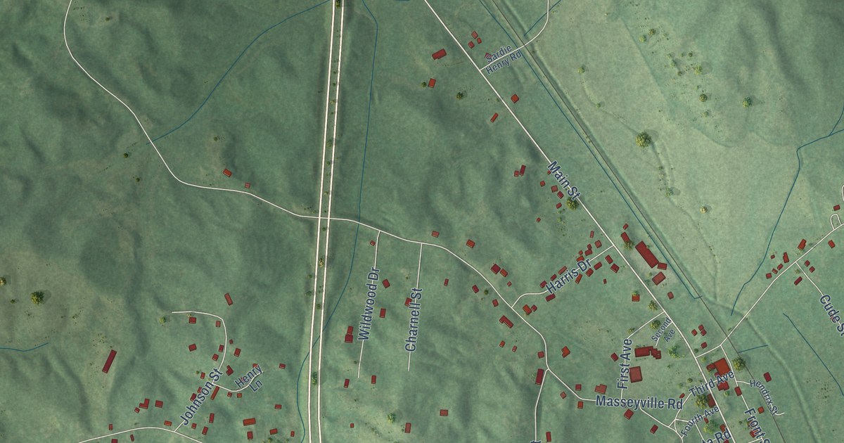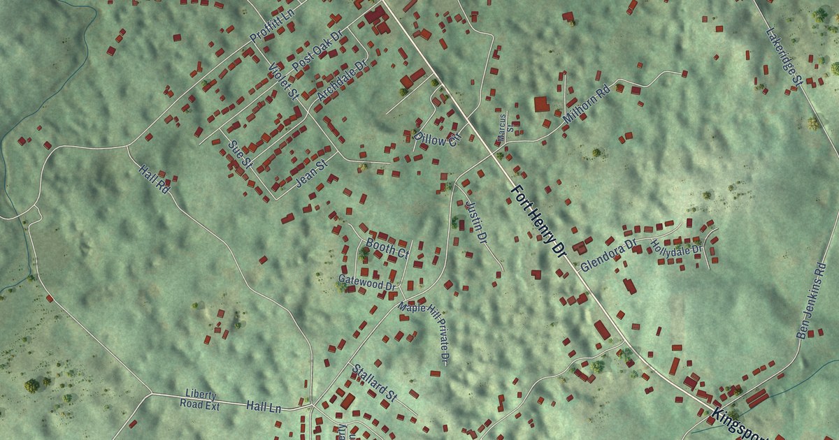
This beautifully detailed map of Spurgeon, Tennessee was created in 2026 using aerial imagery combined with modern topographical, census, street and landmark data. It’s a one-of-a-kind view of Spurgeon that combines accurate data with a vintage aesthetic. The map shows every building in its true location, many of the roads carry their names, and the shaded topographic relief shows the shape of the land.
Explore an aerial view of Spurgeon, Tennessee
On the map you’ll find Royal Pines and Smith Shoals Subdivision, along with Airport Road, Fort Henry Drive, Kingsport Highway, Hall Lane, Hall Road, Beulah Church Drive, Crowe Drive, Liberty Church Road, Kitzmiller Road, Lakeridge Street, and more. If you look closely you can even find your house accurately drawn in its correct location. Zoom in on the preview to look for yours.
Did you know this piece of Spurgeon, Tennessee history?
From the National Park Service: "Alexander Doke Hall Cave is named for the grandfather of the present owner, Mary Hall. It has been in the Hall family since they moved to the present property in 1823."
Take a closer look at the Spurgeon map
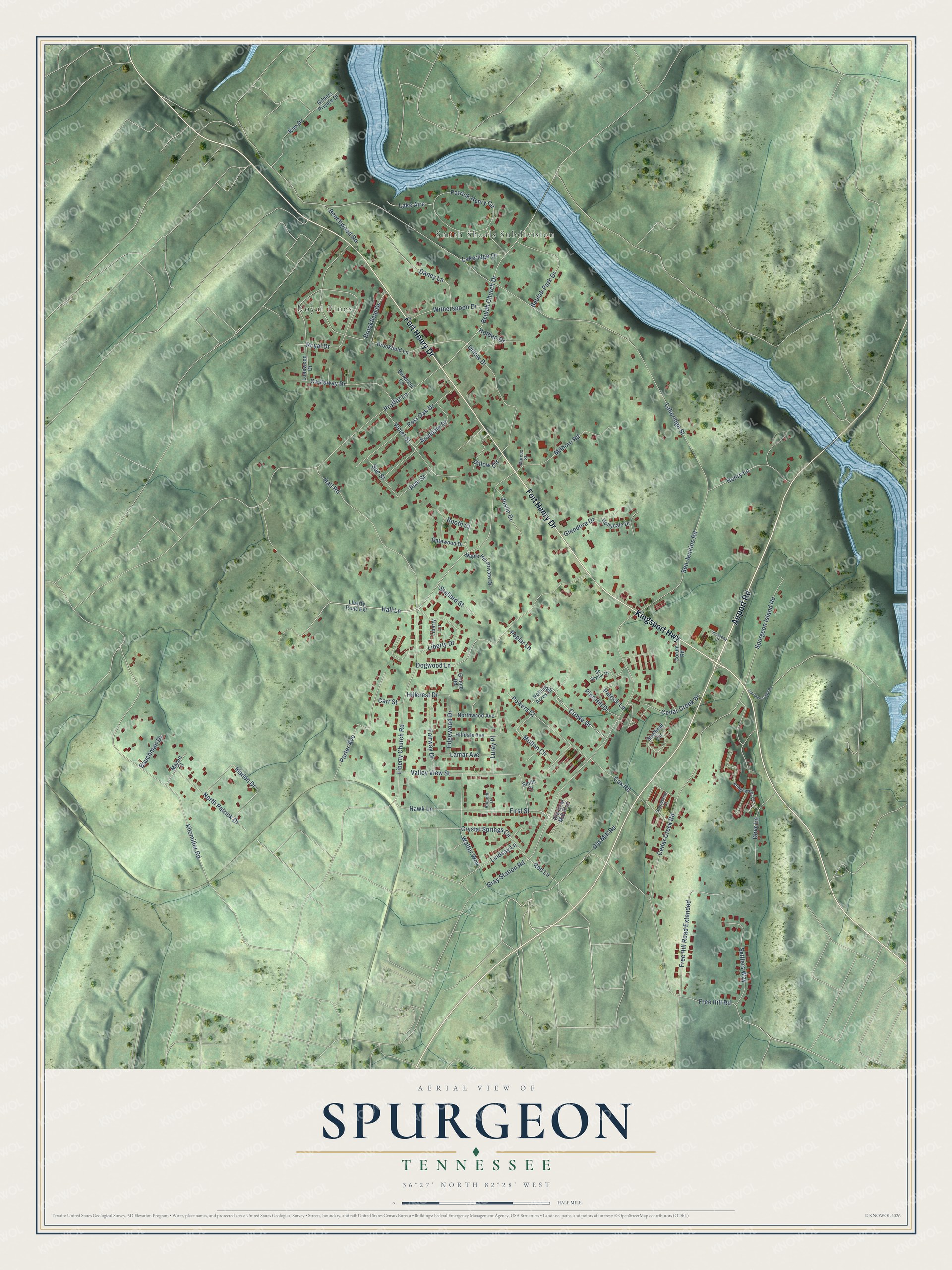
Street and place names on the Spurgeon, Tennessee map
These names are printed on the map of Spurgeon, Tennessee.
Places: Royal Pines and Smith Shoals Subdivision.
Streets and roads: Airport Road, Fort Henry Drive, Kingsport Highway, Hall Lane, Hall Road, Beulah Church Drive, Crowe Drive, Liberty Church Road, Kitzmiller Road, Lakeridge Street, Cedar Creek Road, Gray Station Road.
More street names, A to Z
Archdale Drive, Bauchman Drive, Beechwood Road, Ben Jenkins Road, Beulah Park Drive, Booth Court, Boxwood Circle, Bridgewater Court, Brookfield Drive, Brookfield Lane, Carr Street, Castaway Drive, Cedar Creek Drive, Corum Road, Cox Road, Crystal Springs Circle, Dancy Lane, Dillow Circle, Dillow Drive, Dogwood Lane, Dove Lane, Edgewood Drive, Fairway Drive, First Street, Free Hill Road, Free Hill Road Extended, Gatewood Drive, Gilders Private Drive, Glendora Drive, Grimm Road, Hawk Lane, Henry Lane, Hillcrest Drive, Hilldale Avenue, Holden Drive, Hollydale Drive, Jean Street, Justin Drive, Kim Drive, Lake Aire, Lakeridge Drive, Lamar Avenue, Liberty Drive, Liberty Lane, Liberty Road Extension, Lindsay Lane, Lonewood Drive, Luray Place, Maden Court, Maden Drive, Maple Hill Private Drive, Marcus Street, Milhorn Road, Molton Circle, North Patrick Drive, Northwood Avenue, Old Grist Mill Boulevard, Old Mill Road, Patrick Henry Circle, Patrick Lane, Pine Hill Drive, Poplar Lane, Porter Avenue, Post Oak Drive, Powers Court, Proffitt Lane, Red Lane, Rolling Acres Drive, Royal Drive, Sb Snyder Drive, Settlers Way, Sheffield Circle, Smith Court, Spurgeon Gap Road, Spurgeon Island Road, Stallard Street, Stonebriar Court, Stowaway Court, Sue Street, Valley View Street, Vincent Drive, Violet Street, Walter Way, Witherspoon Drive.
See the Spurgeon, Tennessee map on a wall
The Spurgeon map as an 18 x 24 inch print in a black frame.

This beautifully detailed map of Spurgeon makes an attractive addition to your office, library, or den, and it can even be used to teach children the geography and history of the area. It also makes a great gift for anyone who grew up in Spurgeon or moved away. When you’re done exploring, click here to get your copy of the Spurgeon map.