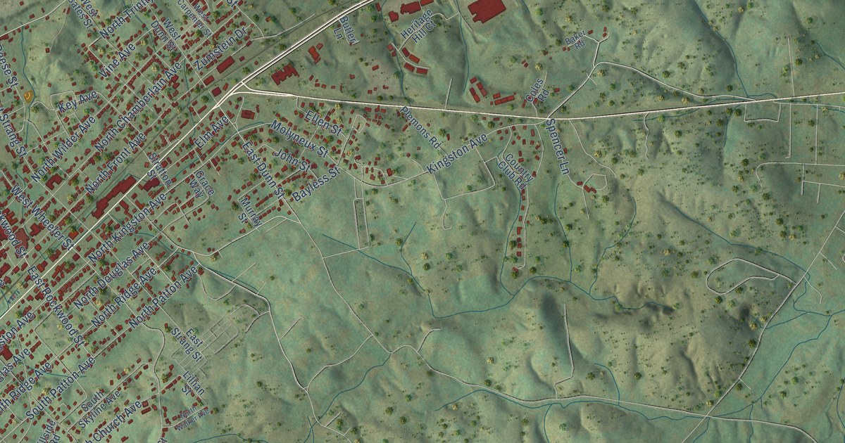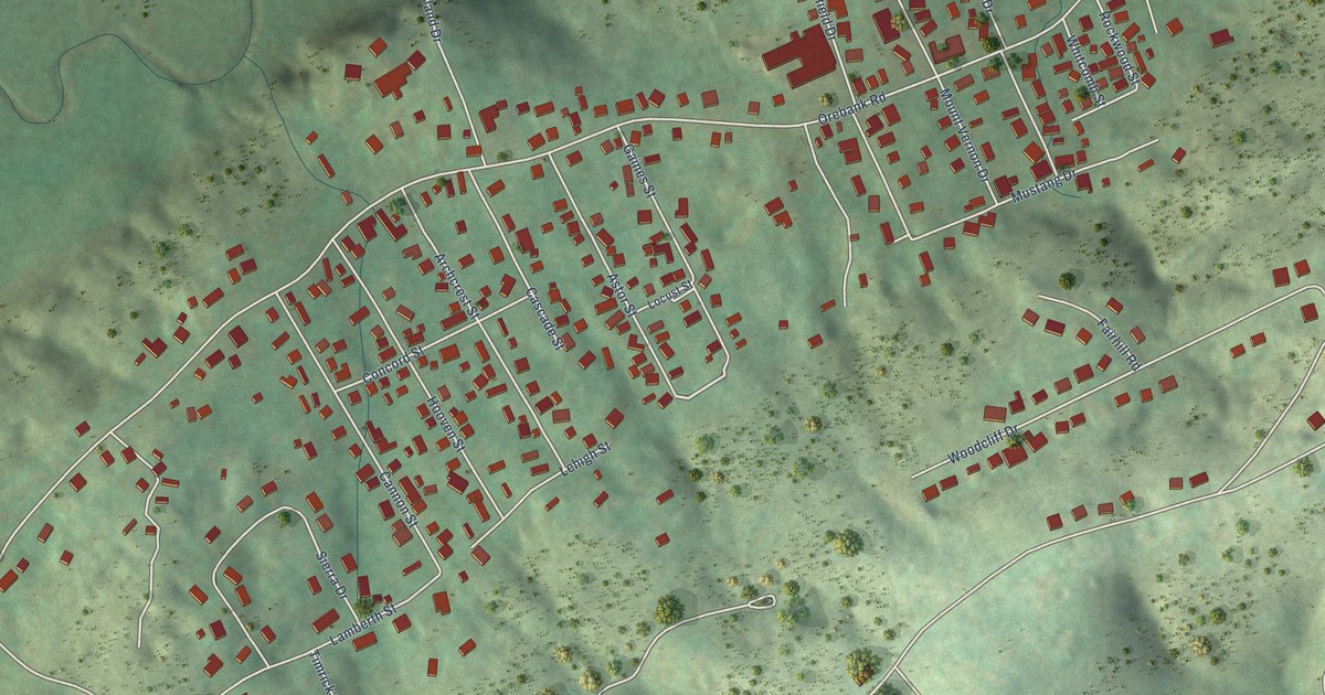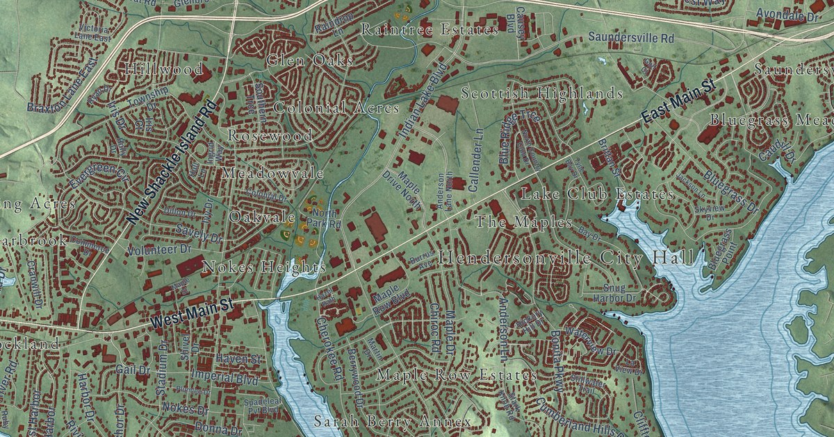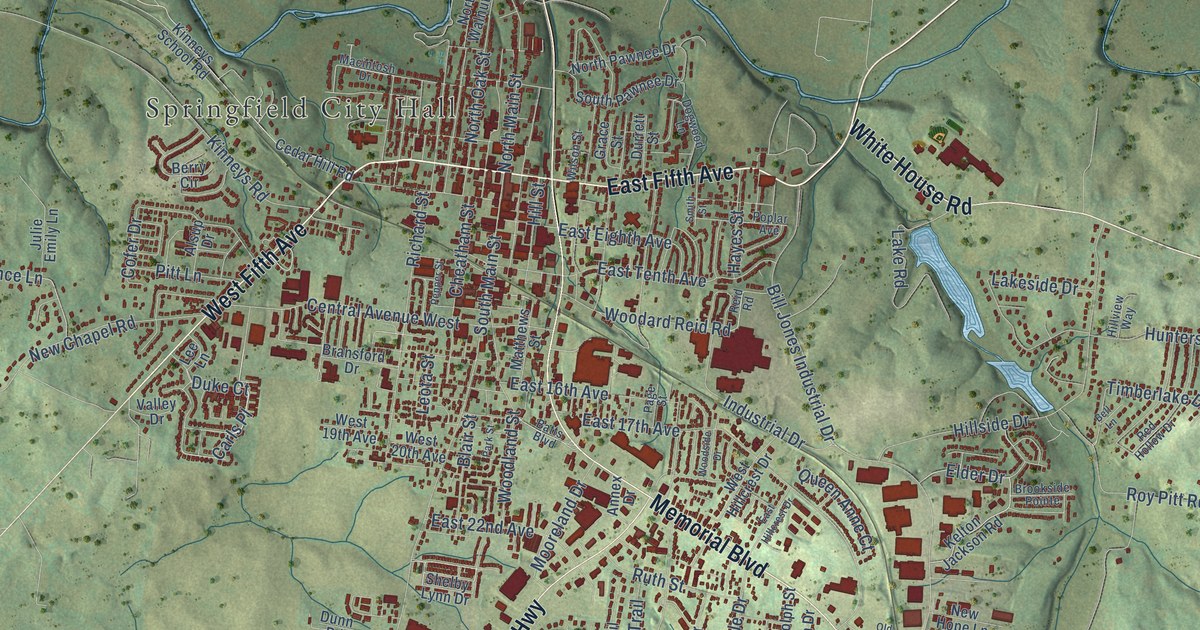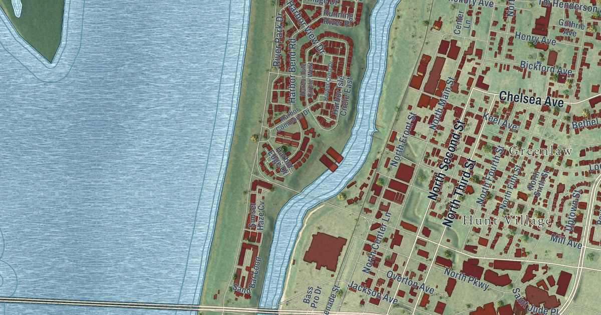
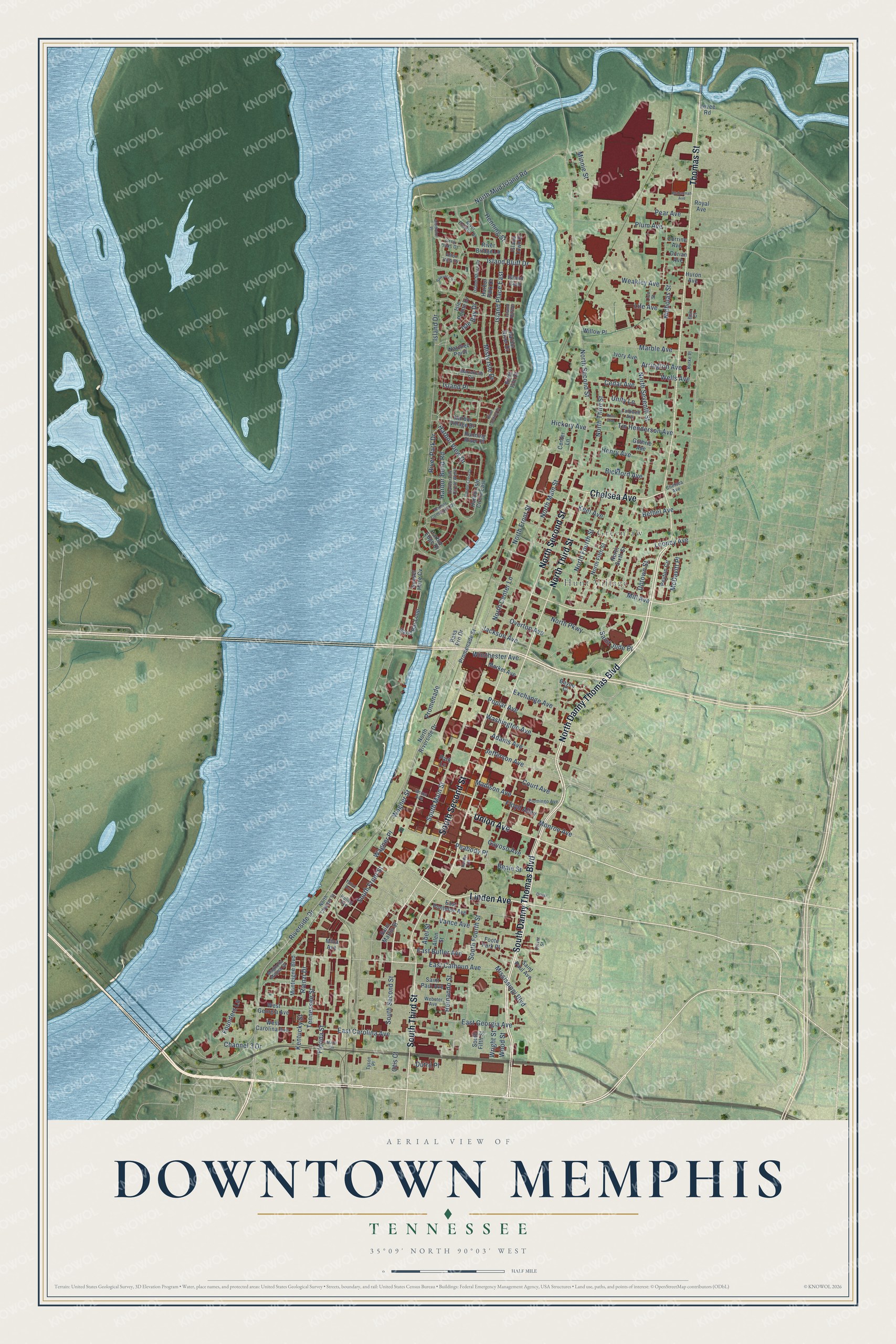
This beautifully detailed map of Downtown Memphis, Tennessee was created in 2026 using aerial imagery combined with modern topographical, census, street and landmark data. It’s a one-of-a-kind view of Downtown Memphis that combines accurate data with a vintage aesthetic. The map shows every building in its true location, many of the roads carry their names, and the shaded topographic relief shows the shape of the land.
Explore an aerial view of Downtown Memphis, Tennessee
On the map you’ll find Hunt Village and Greenlaw, along with Thomas Street, South Danny Thomas Boulevard, North Danny Thomas Boulevard, Linden Avenue, Chelsea Avenue, South Third Street, Union Avenue, North Second Street, South Second Street, North Third Street, and more. If you look closely you can even find your house accurately drawn in its correct location. Zoom in on the preview to look for yours.
Did You Know?
The founders of Memphis set aside the downtown riverfront for public use. Steamboats loaded cotton at its river landing through the 1800s. Workers paved the landing with limestone and granite cobblestones from 1844 to 1886. It survives as the largest intact landing left on the Mississippi River.
Take a closer look at the Downtown Memphis map
Names on this map
These names are printed on this map.
Places: Hunt Village and Greenlaw.
Streets and roads: Thomas Street, South Danny Thomas Boulevard, North Danny Thomas Boulevard, Linden Avenue, Chelsea Avenue, South Third Street, Union Avenue, North Second Street, South Second Street, North Third Street, Riverside Drive, Adams Avenue.
More street names, A to Z
Abel Street, Afton Villa Drive, Allen Street, Arrington Avenue, Bass Pro Drive, Bayou Cl, Beale Street, Belz Court, Bethel Avenue, Bickford Avenue, Burke Place, Caldwell Avenue, Cedar Avenue, Center Lane, Channel 3 Drive, Corrine Avenue, Court Avenue, Dorian Avenue, Driver, Driver Street, Dutro Place, East Butler Avenue, East Calhoun Avenue, East Carolina Avenue, East Georgia Avenue, East Pontotoc Avenue, Exchange Avenue, Florida Street, Floyd Alley, Foote Park Place, Founders Lane, Gayoso Avenue, Grey Oaks Drive, Guthrie Avenue, Handy Circle, Harbor Bend Road, Harbor Commons Drive, Harbor Crest Drive, Harbor Edge Drive, Harbor Isle Circle East, Harbor Isle Circle West, Harbor Park Drive, Harbor River Drive, Harbor View Drive, Harbor Village Drive, Henning Street, Henry Avenue, Hernando Street, Hickory Avenue, Huling Avenue, Huron Avenue, Island Bluff Drive, Island Club, Island Drive, Island Harbor, Island Place, Island Place East, Island Shore Drive, Island Town Drive, Isle Bay Drive, Isle Pointe Drive, Ivory Avenue, Jackson Avenue, Jefferson Avenue, Keel Avenue, Kentucky Street, Levee Road, Life Avenue, Lion Street, Looney Avenue, Madison Avenue, Magnolia Mound Drive, Mahannah Avenue, Mann Circle, Marble Avenue, Market Avenue, Marrakesh Circle, McDavitt Place, Middleton Place, Mill Avenue, Mina Avenue, Minnie Street, Mississippi Boulevard, Misty Isle Drive, Monroe Avenue, Monteigne Boulevard, Natchez Point, Nicholas Street, North Center Lane, North Chester Street, North Fifth Street, North Fourth Street, North Front Street, North Main Street, North Mud Island Road, North Parkway, North Riverside Drive, North Seventh Street, North Sixth Street, Otis Court, Overton Avenue, Park Lane, Peabody Place, Pear Avenue, Peyton Circle, Piomingo Avenue, Plum Avenue, Poplar Avenue, Promenade, Promenade Street, Reno Avenue, Rienzi Drive, River Bridge Lane, River Estates Drive, River Isle Drive, River Landing Drive, River Park Drive, Royal Avenue, Running River Place, Saint Jude Place, Saint Martin Street, Saint Paul Avenue, Sand Bar Loop, Sawyer Circle, South Fifth Street, South Fourth Street, South Front Street, South Main Street, Sunset Haze Cv, Talbot Avenue, Tennessee Street, Tm Henderson Avenue, Tyson Place, Unity Lane, Uptown Street, Vance Avenue, Wagner Place, Wagner Street, Washington Avenue, Weakley Avenue, Webster Avenue, Wells Avenue, West Carolina Avenue, West Georgia Avenue, Willow Place, Winchester Avenue, Wood Street, Wright Street.
See it on a wall
The Downtown Memphis map as a framed print. Swipe for more.


This beautifully detailed map of Downtown Memphis makes an attractive addition to your office, library, or den, and it can even be used to teach children the geography and history of the area. It also makes a great gift for anyone who grew up in Downtown Memphis or moved away. When you’re done exploring, click here to get your copy of the Downtown Memphis map.