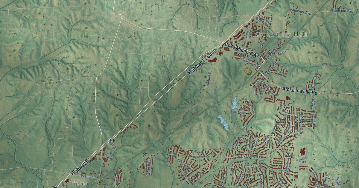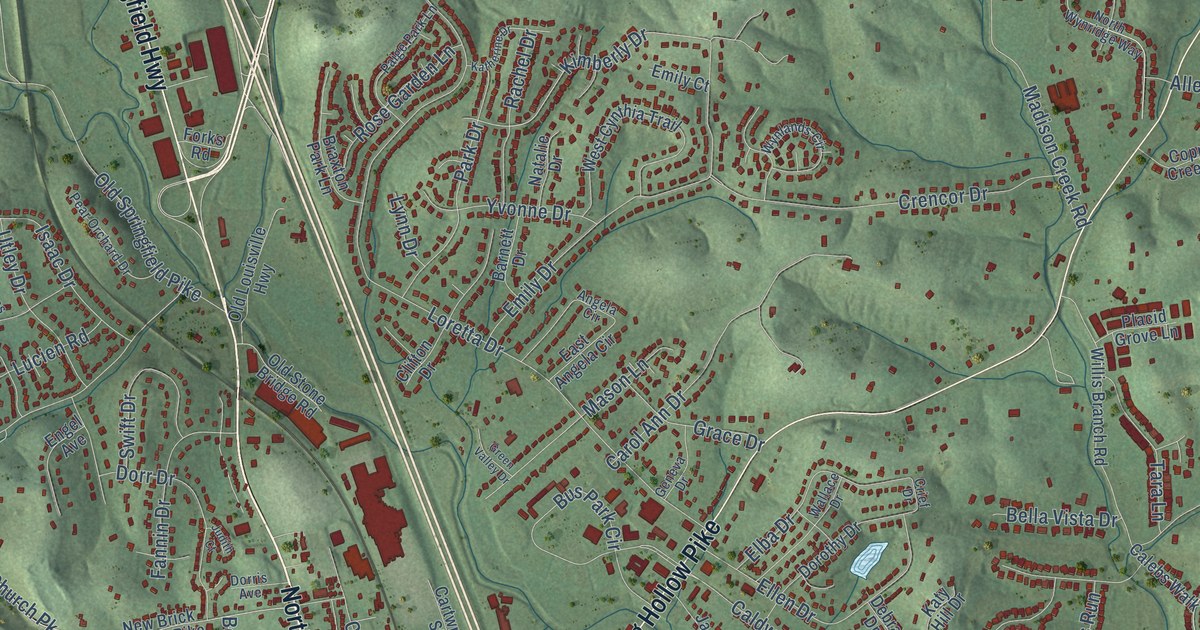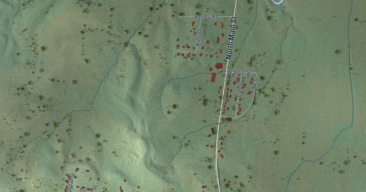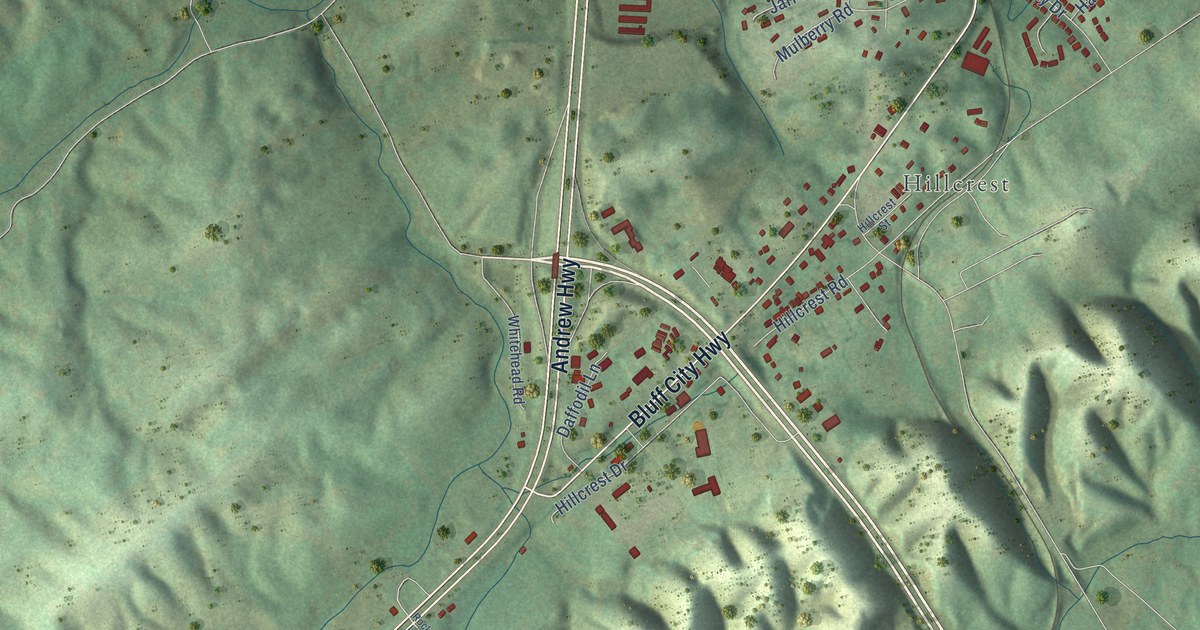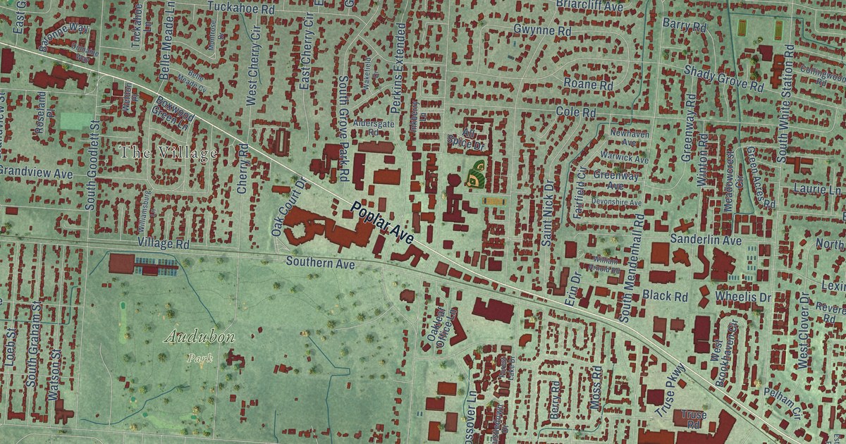
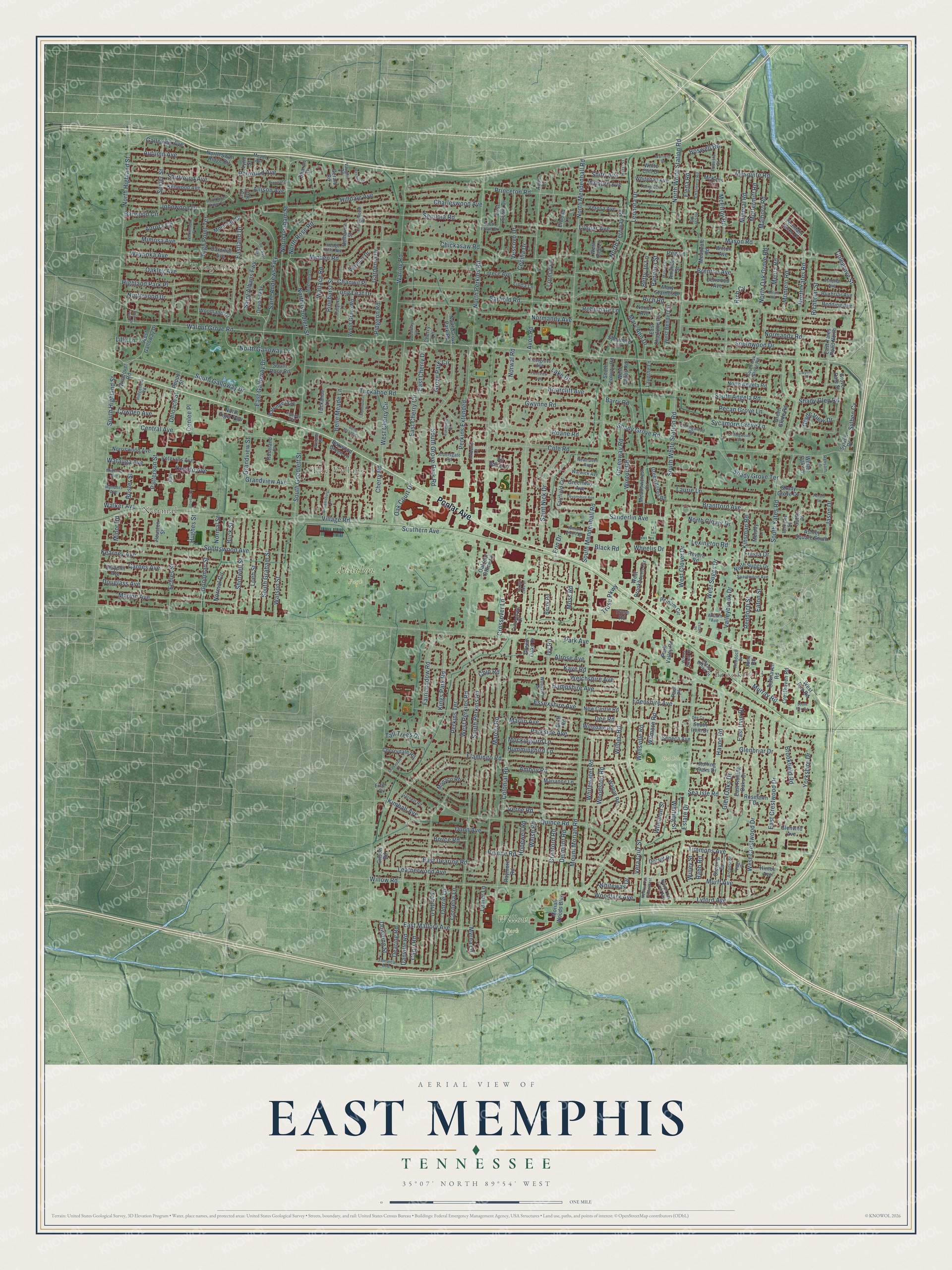
This beautifully detailed map of East Memphis, Tennessee was created in 2026 using aerial imagery combined with modern topographical, census, street and landmark data. It’s a one-of-a-kind view of East Memphis that combines accurate data with a vintage aesthetic. The map shows every building in its true location, many of the roads carry their names, and the shaded topographic relief shows the shape of the land.
Explore an aerial view of East Memphis, Tennessee
On the map you’ll find Hedgemoor, Brookfield, Normal, The Village, Audubon Park, Sea Isle Park, and Willow Park, along with Poplar Avenue, Willow Road, Eastland Drive, North Galloway Drive, South White Station Road, and more. If you look closely you can even find your house accurately drawn in its correct location. Zoom in on the preview to look for yours.
Take a closer look at the East Memphis map
Names on this map
These names are printed on this map.
Places: Hedgemoor, Brookfield, Normal, The Village, Audubon Park, Sea Isle Park and Willow Park.
Streets and roads: Poplar Avenue, Willow Road, Eastland Drive, North Galloway Drive, South White Station Road, Boswell Road, East Dearing Road, Walnut Grove Road, South Perkins Road, Colonial Road, Southern Avenue, Park Avenue.
More street names, A to Z
Aldersgate Road, Alladin Avenue, Allison Avenue, All Spice Drive, Alrose Avenue, Amanda Street, Amboy Road, Arcadia Street, Ashbriar Avenue, Ashley Square South, Aurora Circle, Autumn Avenue, Avon Cv, Avon Road, Barfield Road, Baronne Way, Barry Road, Barwood Circle, Belhaven Street, Belle Meade Cv, Belle Meade Lane, Ben Avon Way, Berkeley Square, Berry Road, Betty Jo Lane, Black Road, Bluff Road, Boxwood Green Lane, Boyce Road, Brantford Avenue, Brennan Drive, Brenton Avenue, Briarcliff Avenue, Brister Street, Brookfield Road, Buck Street, Buxbriar Avenue, Capri Road, Cardinal Avenue, Carnes Avenue, Cecilia Drive, Central Avenue, Chalmers Road, Chanwil Place, Charleswood Avenue, Cherrydale Road, Cherry Lane, Cherry Road, Chickasaw Road, Chip Road, Chuckwood Road, Clayphil Avenue, Colegrove Street, Cole Road, Collingwood Cv, Collingwood Road, Conlee Place, Cornelia Lane, Cowden Avenue, Crabapple Lane, Cranford Road, Cresthaven Road, Crossover Lane, Danville Road, Dearing Road, Dee Cv, Dee Road, Delmont Road, Deloach Street, Denwood Avenue, Desoto Avenue, Devonshire Avenue, Devon Way, Dorrie Lane, Dorset Drive, Douglass Avenue, Downing Street, Dumaine Way, Dunn Avenue, East Charlotte Circle, East Cherry Circle, East Cherry Drive, East Crestwood Drive, East Erwin Drive, East Galloway Drive, East Irvin Drive, East Mallory Avenue, East Rolling Oaks Drive, East Yates Road North, Eaton Street, Echles Street, Edenshire Avenue, Elwood Lane, Erin Drive, Essexshire Avenue, Estate Drive, Estate Office Drive, Estate Place, Fairfield Circle, Fairmeadow Road, Fiesta Drive, Fizer Cv, Flamingo Road, Fleda Road, Fleetgrove Avenue, Fleetview Avenue, Forest Lake Drive, Fountain River Drive, Galloway Avenue, Gardenia Drive, Garnett Road, Gerald Road, Gilson Road, Glade View Drive, Glenbriar Drive, Glen Oaks Drive, Glenwild Avenue, Goodman Street, Goodway Lane, Grandview Avenue, Grandview Street, Green Acres Road, Green Glade Road, Green Oaks Drive, Greenway Avenue, Greenway Road, Grove Dale Street, Grove Park Circle, Grove Run Place, Gwynne Cv, Gwynne Road, Hampshire Avenue, Hayne Road, Hedge Hills Avenue, Helene Road, Herald Square, Herzl Street, Highland Park Place, High Point Terrace, Hilldale Avenue, Hinton Avenue, Hollyoke Lane, Hopewell Road, Houston Street, Hughes Street, Hummingbird Lane, Inkberry Lane, Ivy Road, Jamaica Avenue, Jason Drive, Johnwood Drive, June Road, Kaye Road, Kearney Avenue, Kenwood Avenue, Kimball Avenue, Kings Park Road, Kinsman Road, Lake Drive, Lanier Lane, Laurie Lane, Laverne Lane, Leatherwood Avenue, Leonora Drive, Lexington Road, Lilly Lane, Linda Lane, Loeb Street, Long Leaf Drive, Lorece Avenue, Lorece Lane, Lyford Avenue, Lynbar Avenue, Lytle Circle, Lytle Street, Magnolia Drive, Malboro Road, Marcia Road, Marianne Lane, Marion Avenue, Marlin Avenue, Mary Ann Drive, Mary Starnes Drive, Mason Road, Matilda Street, McDermitt Road, McElroy Road, McKans Cv, Meade Avenue, Meadowcrest Circle, Meadvale Road, Melita Road, Melody Lane, Melvin Road, Mesquite Road, Midland Avenue, Mimosa Avenue, Minden Road, Mineral Road, Minor Road, Mockingbird Lane, Monaco Road, Montclair Drive, Montelo Road, Montrose Drive, Moriah Woods Boulevard, Moss Road, Mount Moriah Road, Murff Avenue, Murray Road, Mynders Avenue, Myrna Lane, New Castle Road, Newhaven Avenue, Newton Oak Circle East, Newton Oak Circle West, Norich Avenue, Normal Circle, Normal Street, Normandy Avenue, Normandy Road, Norriswood Avenue, North Angela Road, North Clover Drive, North Fernway Road, North Goodlett Street, North Graham Street, North Grove Park Road, North Highland Street, North Mendenhall Road, North Oak Grove Road, North Perkins Road, North Rose Road, North Suggs Drive, North Swan Ridge Circle, North Tiger Paw, North White Station Road, Northwood Drive, North Yates Road, Norwal Road, Oak Court Drive, Oakhaven Road, Oakleaf Office Lane, Oakley Avenue, Page Cv, Pandora Street, Parkside Avenue, Park Valley Road, Patterson Street, Paul Place, Pecan Grove Lane, Peg Lane, Pelham Circle, Perkins Extended, Perkins Terrace, Philwood Avenue, Pidgeon Road, Pinehurst Street, Podesta Street, Poppy Street, Princeton Road, Quince Road, Rabb Road, Ransom Lane, Raymore Road, Redding Avenue, Reddoch Cv, Reddoch Street, Revere Road, Richbriar Street, Rich Cv, Rich Road, Ridgefield Road, Roane Road, Robindale Lane, Rolling Oaks Drive, Roseland Place, Roselawn Drive, Rosser Road, Saint Albans Fwy, Saint Andrews Fwy, Saint Nick Drive, Sanderlin Avenue, Sea Isle Road, Seneca Avenue, Sequoia Road, Sevier Street, Shady Glen Road, Shady Grove Cv, Shady Grove Road, Shady Grove Terrace, Sharon Drive, Shepherd Lane, Shifri Avenue, Shirlwood Avenue, Shotwell Street, South Angela Road, South Erwin Drive, South Fernway Road, South Galloway Drive, South Goodlett Street, South Graham Street, South Grove Park Road, South Highland Street, South Irvin Drive, South Mendenhall Road, South Oak Grove Road, South Rex Road, South Rose Road, South Swan Ridge Circle, Southwood Drive, South Yates Road, Spainwood Avenue, Spottswood Avenue, State, Sterling Drive, Sutton Place, Sycamore Grove Lane, Sylben Cv, Sylven Drive, Tahiti Lane, Tall Trees Drive, Tarrytown Drive, Thistledown Drive, Timmons Avenue, Truse Parkway, Truse Road, Tuckahoe Lane, Tuckahoe Road, University, Valleybrook Drive, Vaughn Road, Vera Cruz Street, Verne Road, Verosa Avenue, Vescovo Drive, Veterans Avenue, Village Road, Wakefield Drive, Walker Avenue, Wallace Road, Walton Road, Warfield Drive, Waring Road, Warwick Avenue, Watauga Avenue, Watson Street, Waymar Drive, Waynoka Avenue, Welchshire Avenue, Weldon Place, Wellsville Road, Welsh Road, West Bendel Circle, West Brookhaven Circle, West Carlos Road, West Cherry Circle, West Clover Drive, West Crestwood Drive, Western Drive, West Galloway Drive, West Peg Lane, West Perkins Road, West Rex Road, West Suggs Drive, Wheaton Street, Wheelis Drive, White Cliff Drive, Whitehall Avenue, Whitewater Road, Whiteway Drive, Whiting Street, Wilbec Road, Wilburn Avenue, Wilkinson Place, Willey Street, William Arnold Road, Williamsburg Lane, Wilmore Road, Wilton Avenue, Windover Road, Wingdale Road, Winter Oak Lane, Winton Road, Wood Grove Road, Woodland Drive, Woodlark Avenue, Woodston Road, Woodview Drive, Wrens Roost Circle, Yorkshire Drive.
See it on a wall
The East Memphis map as a framed print. Swipe for more.


This beautifully detailed map of East Memphis makes an attractive addition to your office, library, or den, and it can even be used to teach children the geography and history of the area. It also makes a great gift for anyone who grew up in East Memphis or moved away. When you’re done exploring, click here to get your copy of the East Memphis map.