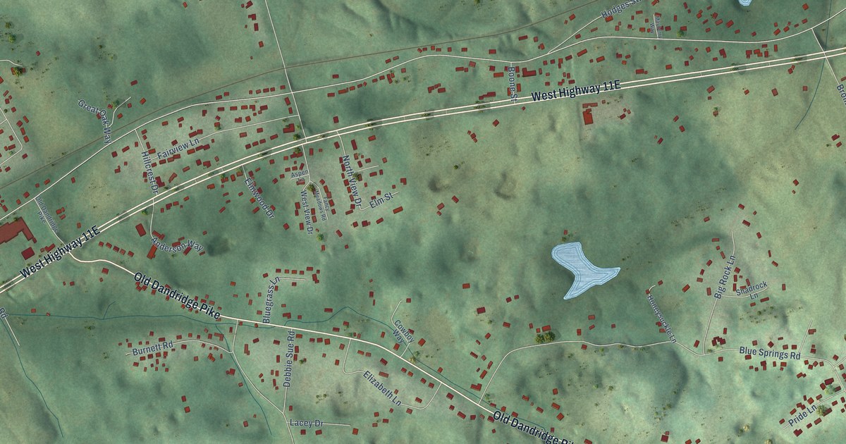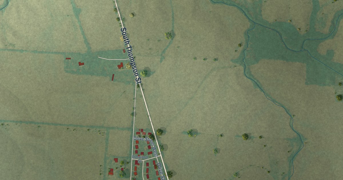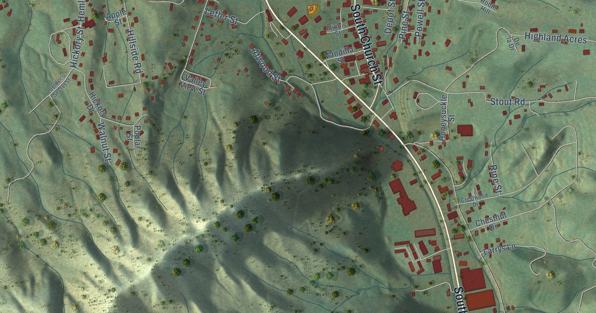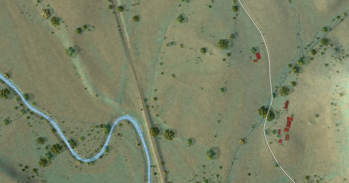
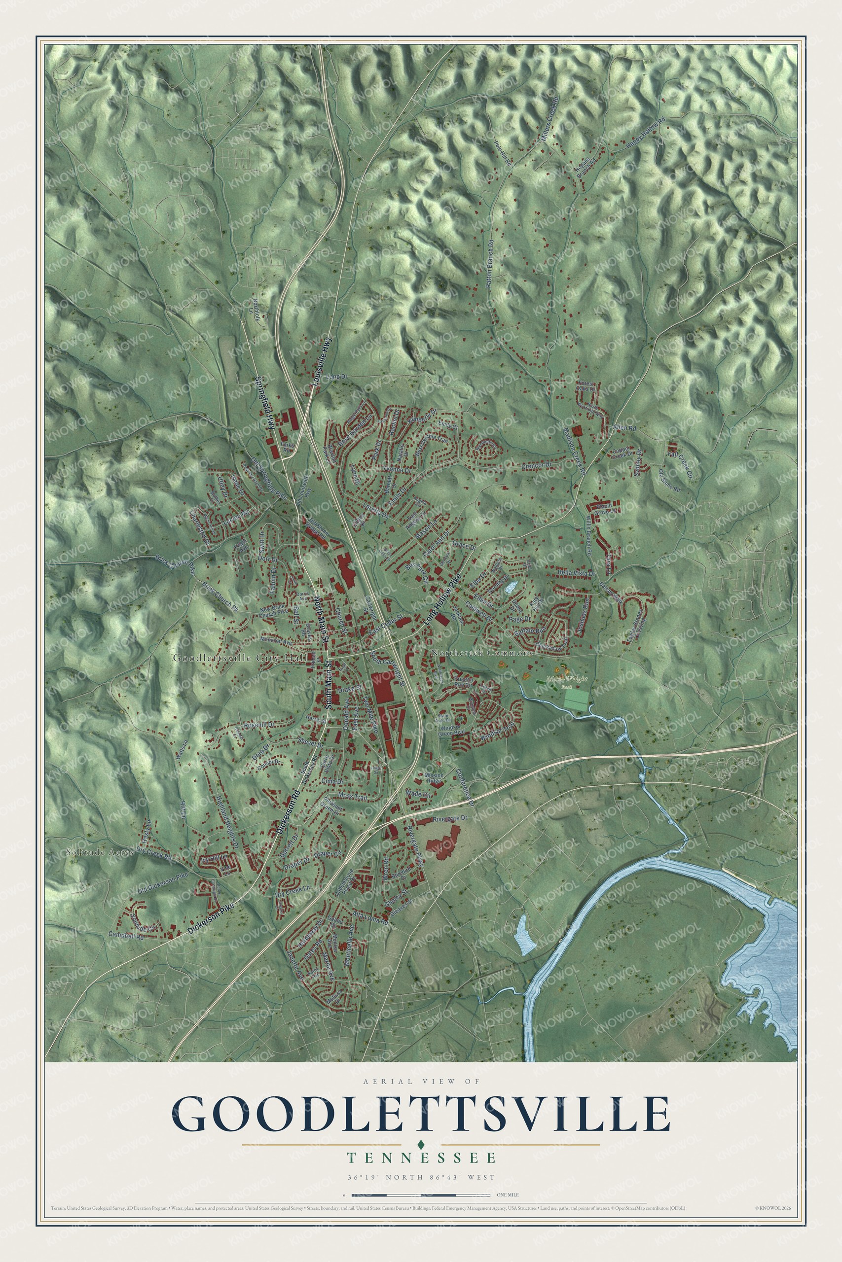
This beautifully detailed map of Goodlettsville, Tennessee was created in 2026 using aerial imagery combined with modern topographical, census, street and landmark data. It's a modern aerial view of Goodlettsville in Sumner County, Tennessee, that combines modern data with a vintage aesthetic. The roads feature printed names, and if you look closely you can find your exact house accurately shown in its correct location.
Explore an aerial view of Goodlettsville, Tennessee
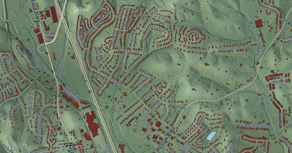
On this map you'll find Goodlettsville City Hall, Solitude Acres, Moss-Wright Park, Northcreek Commons, Dickerson Pike, Dickerson Road, North Main Street, South Main Street, Long Hollow Pike, Springfield Highway, Louisville Highway, Rivergate Parkway, and more. Each red shape is a building, so zoom in on the preview and look for yours.
Goodlettsville has a story worth telling. The Tennessee Encyclopedia puts it this way: "The Goodlettsville Lamb and Wool Club showed that cooperation was the best way to combat the pressures from buyers of farm products."
Goodlettsville is a city in Sumner County. The Census Bureau counted 17,789 people here in 2020.
Take a closer look at the Goodlettsville map
Names on this map
These names are printed on this map.
Places: Goodlettsville City Hall, Solitude Acres, Moss-Wright Park and Northcreek Commons.
Streets and roads: Dickerson Pike, Dickerson Road, North Main Street, South Main Street, Long Hollow Pike, Springfield Highway, Louisville Highway, Rivergate Parkway, Moss Trail, Brick Church Pk, Kimberly Drive, East Cedar Street.
More street names, A to Z
Allen Road, Alta Loma Road, Angela Circle, Barnett Drive, Bella Vista Drive, Bell Street, Bluebird Drive, Braxton Park Lane, Brick Church Pike, Buffalo Run, Bus Park Circle, Caldwell Drive, Calebs Walk, Campbell Road, Carol Ann Drive, Cartwright Street, Cerro Vista Drive, Charleston Drive, Chickasaw Trail, Church Street, Cima Drive, Clifton Drive, Cobblestone Place Drive, Conference Drive, Connor Drive, Copper Creek Drive, Crencor Drive, Crief Drive, Debra Drive, Donald Avenue, Dora Drive, Dorothy Drive, Dorr Drive, Dorris Avenue, Drake Street, Draper Circle, Draper Drive, Dry Creek Lane, Dry Creek Road, East Angela Circle, East Avenue, East Court, Elba Drive, Ellen Drive, Emily Court, Emily Drive, Engel Avenue, Fall Creek Circle, Fannin Drive, Forest Oaks Drive, Forks Road, French Street, Garrett Drive, Gates Road, Geneva Drive, Glancy Street, Gleaves Street, Goldie Drive, Grace Drive, Graves Road, Greens Circle, Green Valley Drive, Happy Hollow Road, Hardaway Drive, Harris Street, Hasty Lane, Highland Heights Drive, Hitt Lane, Hogans Branch Road, Isaac Drive, Ivy Hill Lane, Jackson Road, Janette Avenue, Joshuas Run, Judith Court, Katherine Drive, Kathy Avenue, Katy Hill Drive, Lidgate Terrace, Lodge Street, Long Drive, Loretta Drive, Lucien Road, Lynn Drive, Madison Creek Road, Marita Avenue, Mason Lane, Mathes Court, Melissa Drive, Millers Creek Road, Mission Ridge, Moncrief Avenue, Monica Avenue, Monticello Avenue, Mystic Hill Drive, Natalie Drive, New Brick Church Pike, Northcreek Boulevard, Northfolk Lane, North Wynridge Way, Old Dickerson Pike, Old Louisville Highway, Old Springfield Pike, Old Stone Bridge Road, Old Stone Road, Page Drive, Paige Park Lane, Park Drive, Patton Branch Road, Pear Orchard Drive, Placid Grove Lane, Pleasant Green Drive, Pole Hill Road, Preston Run Circle, Rachel Drive, Rivergate Drive, Robert Cartwright Drive, Rose Garden Lane, Rosehill Court, Rosehill Drive, Shevel Drive, Solitude Circle, South Cartwright Street, South Dickerson Road, State Auto Bv, Swift Drive, Sydney Drive, Tara Lane, Twelve Stones Crossing, Two Mile Pike, Utley Drive, Vine Lane, Wade Circle, Wallace Drive, Watts Lane, West Cynthia Trail, Willis Branch Road, Windsor Green Boulevard, Windsor Trce, Wren Road, Wyndom Court, Wynlands Circle, Yvonne Drive.
See it on a wall
The Goodlettsville map as a framed print. Swipe for more.


Created by KNOWOL in 2026. The buildings are small red shapes, the roads carry their printed names, and shaded relief shows the shape of the land. The title panel reads "AERIAL VIEW OF GOODLETTSVILLE, TENNESSEE" with 36°19' NORTH 86°43' WEST.
It looks right in a kitchen, an office or a den, and it's a gift for anyone who grew up in Goodlettsville or moved away. Open the preview and find your street. See sizes and frames for the Goodlettsville map.