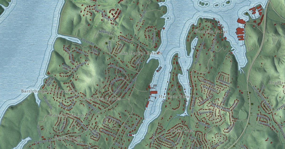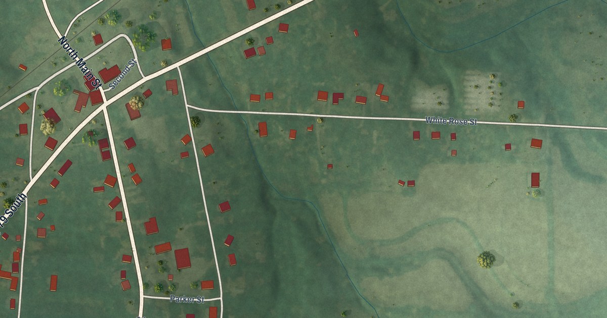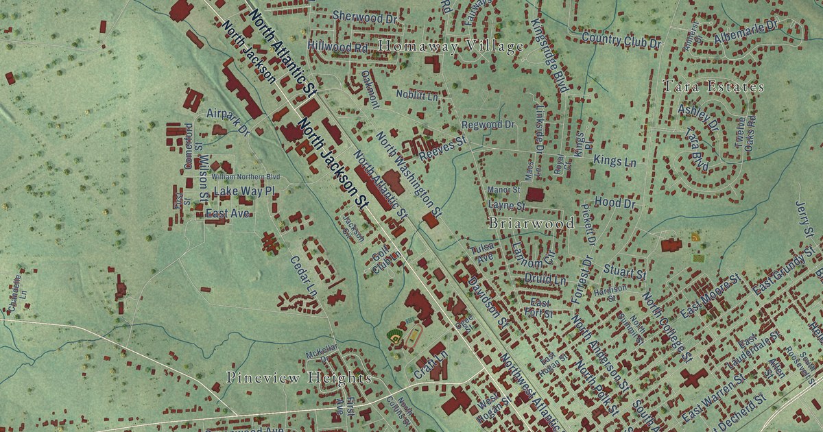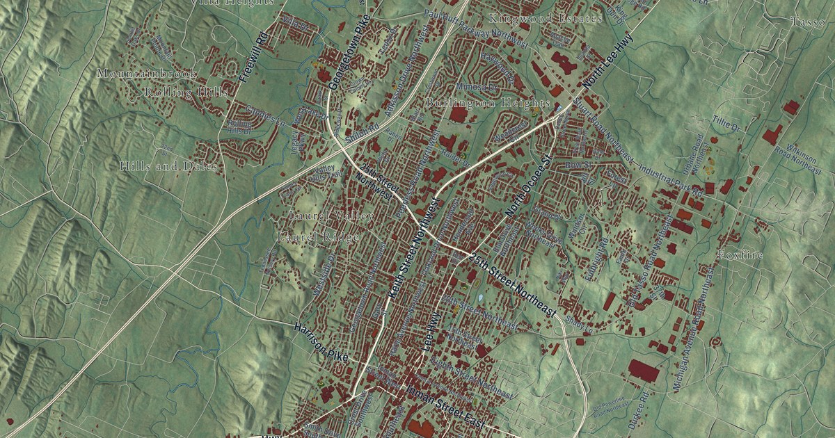
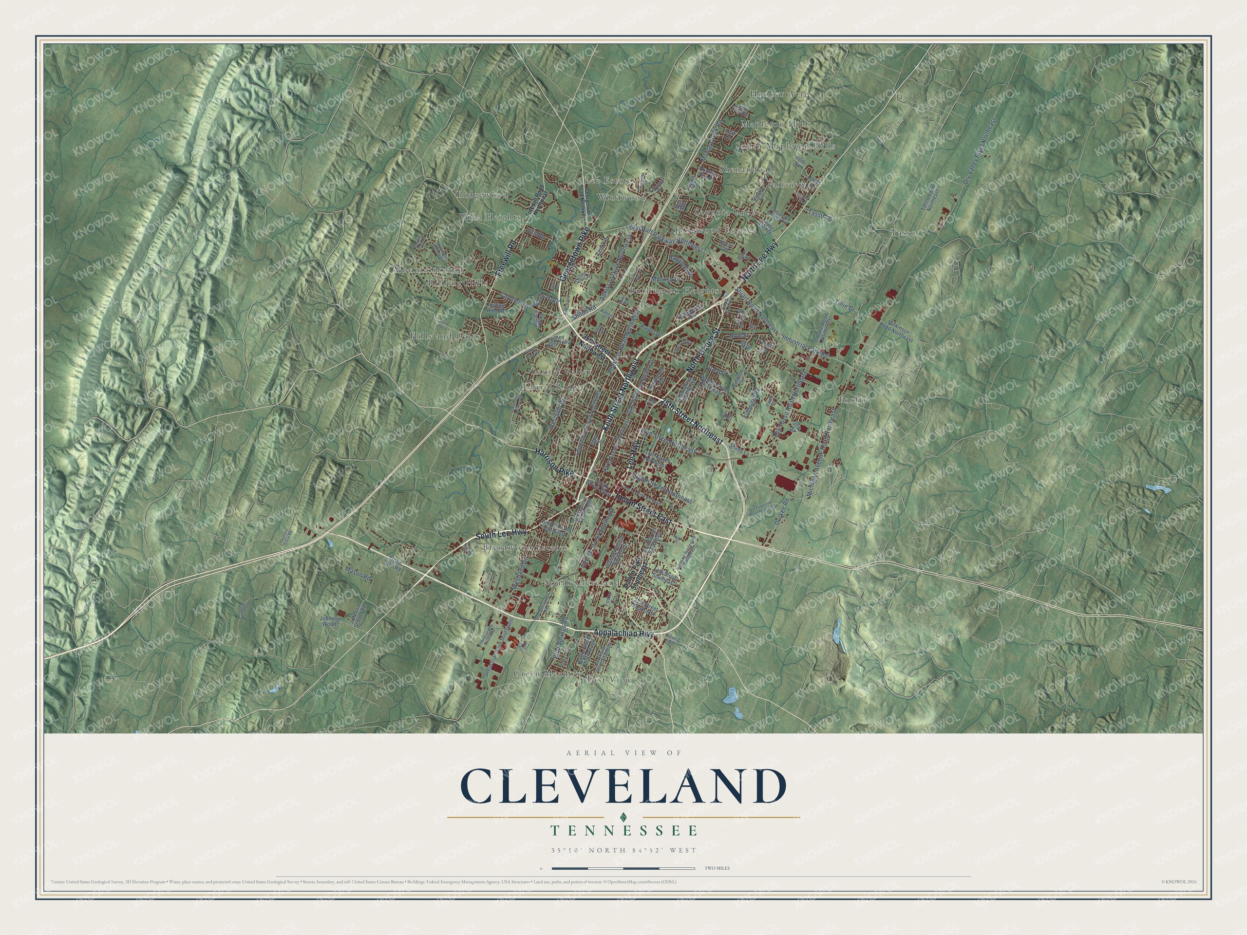
This beautifully detailed map of Cleveland, Tennessee was created in 2026 using aerial imagery combined with modern topographical, census, street and landmark data. It's a modern aerial view of Cleveland in Bradley County, Tennessee, that combines modern data with a vintage aesthetic. The roads feature printed names, and if you look closely you can find your exact house accurately shown in its correct location.
Explore an aerial view of Cleveland, Tennessee
On this map you'll find Brentwood Estates, Burlington Heights, East View, Fairview, Foxfire, Green Meadow, Hills and Dales, Hooper Acres, Kingwood Estates, Laurel Ridge, Laurel Valley, Lee Estates, and more. Each red shape is a building, so zoom in on the preview and look for yours.
Every town has a first chapter, and Cleveland is no exception. The record at tennesseeencyclopedia.net puts it this way: "Cleveland was designated the county seat and named for Colonel Benjamin Cleveland, a Revolutionary War hero from North Carolina who received recognition for his exploits at the battle of Kings Mountain."
Cleveland is a city in Bradley County. The Census Bureau counted 47,356 people here in 2020.
Take a closer look at the Cleveland map
Names on this map
These names are printed on this map.
Places: Brentwood Estates, Burlington Heights, East View, Fairview, Foxfire, Green Meadow, Hills and Dales, Hooper Acres, Kingwood Estates, Laurel Ridge, Laurel Valley, Lee Estates, Mapleton Hills, Mountainbrook, Ridgewood, Rolling Hills, Sequoia Grove, Shenandoah, South Cleveland, South Mapleton Hills, Tasso, Villa Heights and Windwood.
Streets and roads: Keith Street Northwest, South Lee Highway, Georgetown Pike, 25th Street Northeast, Lee Highway, Inman Street East, North Lee Highway, North Ocoee Street, Appalachian Highway, Freewill Road, Harrison Pike, Westside Drive.
More street names, A to Z
14th Street Southeast, 15th Street Northeast, 20th Street Northeast, 21st Street Southeast, 22nd Street, 25th Street Northwest, 37th Street, 56th Street, Adkisson Drive Northwest, Airport Road, Apache Trail, Ben Drive, Blackburn Road Southeast, Blair Road, Blue Springs Road, Blythe Avenue Southeast, Blythe Road Southeast, Bow Street, Candies Lane, Central Avenue Northeast, Church Street Southeast, Crest Drive Southwest, Crestridge Lane, Crestwood Drive, Crown Colony Drive, Dalton Pike Southeast, Dry Valley Road Northeast, Durkee Road, East Street Southeast, Edgewood Circle, Eighth Street Northeast, Elm Drive Northeast, Faulk Drive, Forest Lane, Foster Lane, Freewill Road Northwest, Frontage Road, Fulbright Road, Gale Drive, Gary Street, Georgetown Road Northwest, Grand Drive, Harle Avenue Northwest, Haywood Drive, Henderson Avenue, Hunters Run Place, Industrial Drive Southwest, Industrial Park Road, Industrial Way Southwest, Inman Street West, Jill Street, Johnson Boulevard Southeast, Johnson School Road, Johnston Woods, Jones Drive, Juanita Street, King Den Drive, Leaf Drive, Legacy Parkway, Lenox Drive, Logan Road, Mason Road, Michigan Avenue Road Northeast, Mimosa Drive, Mountain Pointe Drive, Mouse Creek Road, Nell Avenue, Niki Way, Oakland Drive Northwest, Ocoee Street North, Old Chattanooga Pike, Old Powerline Road Northeast, Old Tasso Road Northeast, Ozark Street, Paul Huff Parkway Northwest, Peel West, Peerless Road Northwest, Pleasant Grove Road, Pryor Road Northeast, Raben Drive, Raider Drive, Rebecca Drive, Ridgeway Drive, Rolling Hills Drive, Saddle Creek Drive, Scarlet Oaks Drive, Shady Lane, Shiloh Road, Smith Drive Southwest, Spring Branch Road, Stafford Avenue, Stone Lake Road, Stuart Road Northeast, Tasso Lane, Tasso Lane Northeast, Tennessee Nursery Road, Third Street, Tillie Drive, Timber Trace Circle, Tomlinson College Road, Urbane Road Northeast, Valley Hills Trail, Varnell Road, Villa Drive, Vista Drive, Weeks Drive Northeast, West Lake Drive, Westland Drive, Wilkinson Road Northeast, Windsor Circle, Woodcrest Circle, Young Road.
Created by KNOWOL in 2026. The buildings are small red shapes, the roads carry their printed names, and shaded relief shows the shape of the land. The title panel reads "AERIAL VIEW OF CLEVELAND TENNESSEE" with 35°10' NORTH 84°52' WEST.
Hang it in the hallway, the office or the cabin, or give it to someone who left Cleveland and still calls it home. Open the preview and look for a street you know. See sizes and frames for the Cleveland map.