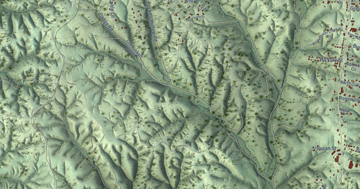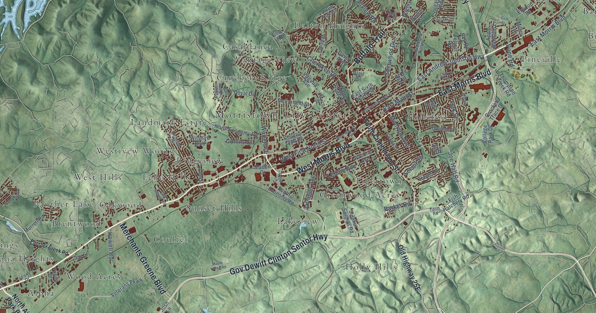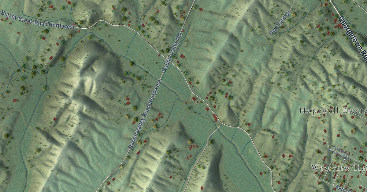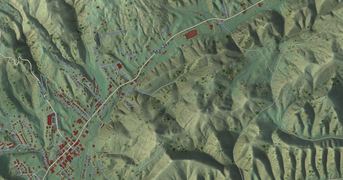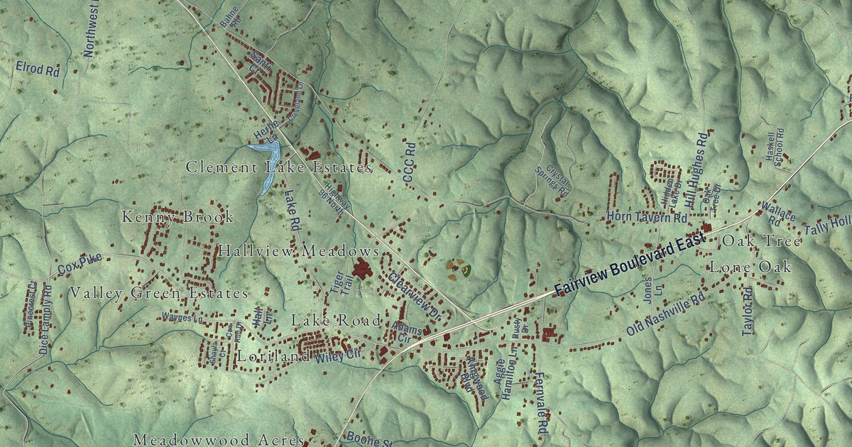
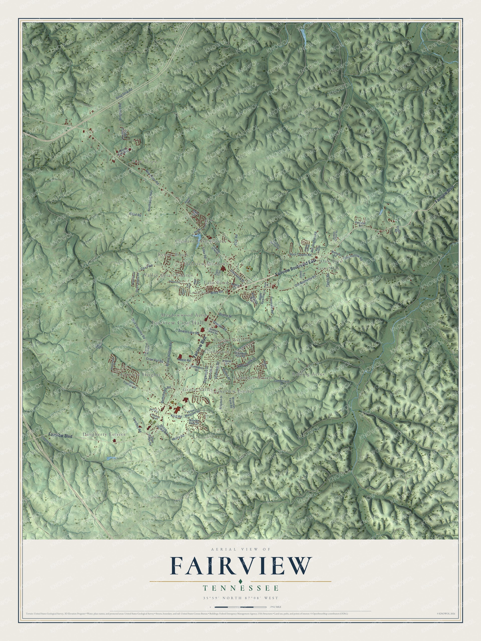
This beautifully detailed map of Fairview, Tennessee was created in 2026 using aerial imagery combined with modern topographical, census, street and landmark data. It's a modern aerial view of Fairview in Williamson County, Tennessee, that combines modern data with a vintage aesthetic. The roads feature printed names, and if you look closely you can find your exact house accurately shown in its correct location.
Explore an aerial view of Fairview, Tennessee
On this map you'll find Fairview City Hall, New Hope, Green Valley, Chester Estates, Clement Lake Estates, Daugherty Estates, Fairview Heights, Glenhaven, Grammer Estates, Hallview Meadows, Kenny Brook, Lake Road, and more. Each red shape is a building, so zoom in on the preview and look for yours.
Every town has a first chapter, and Fairview is no exception. The National Register of Historic Places puts it this way: "Triangle School opened in 1939 to consolidate the students and
teachers from several area single-teacher one-room schoolhouses."
Fairview is a city in Williamson County. The Census Bureau counted 9,357 people here in 2020.
Take a closer look at the Fairview map
Names on this map
These names are printed on this map.
Places: Fairview City Hall, New Hope, Green Valley, Chester Estates, Clement Lake Estates, Daugherty Estates, Fairview Heights, Glenhaven, Grammer Estates, Hallview Meadows, Kenny Brook, Lake Road, Lakeview Estates, Lone Oak, Loriland, Meadowwood Acres, Oak Tree, Rolling Acres and Valley Green Estates.
Streets and roads: Fairview Boulevard, Fairview Boulevard East, Cox Pike, Dice Lampley Road, Crow Cut Road, Old Nashville Road, Taylor Road, Bethshears Road, Horn Tavern Road, Northwest Highway, Fernvale Road, King Road.
More street names, A to Z
Adams Circle, Adele Road, Aden Road, Aggie Hamilton Lane, Bahne Road, Boone Street, Bowie Hollow Road, Bowie Lake Road, Braxton Bend Drive, Brayden Drive, CCC Road, Cherokee Hills Road, Chessington Drive, Chester Road, Clearview Drive, Cleveland Lane, Cox Run Drive, Crow Cut Road Northwest, Crystal Springs Road, Cumberland Drive, Deer Ridge Road, Dianne Drive, Dice Lamply Road, Dogwood Drive, Drag Strip Road, Elrod Road, Fairlawn Drive, Glenhaven Drive, Grammar Drive, Hall Lane, Harding Drive, Haskell School Road, Henry Road, Herlie Lane, Hidden Lake Drive, Highway 96 North, Hill Hughes Road, Hudlow Court, Jones Lane, Kingston Road, Kingwood Boulevard, Kyles Creek Drive, Liberty Road, Loblolly Pine Boulevard, Meadow Wood Road, New Hope Road, Oak Tree Drive, Old Franklin Road, Overbey Road, Penngrove Lane, Pinecrest Court, Rogan Road, Rusty Drive, Santi Court, Shayla Court, Sleepy Hollow Road, Snow Mangrum Road, Sutton Place, Tally Hollow Road, Tiger Trail, Triple Crown Lane, Wallace Road, Waynes Lane, Westview Boulevard, White Oak Drive, Wiley Circle, Wiseman Farm Road.
Created by KNOWOL in 2026. The buildings are small red shapes, the roads carry their printed names, and shaded relief shows the shape of the land. The title panel reads "AERIAL VIEW OF FAIRVIEW TENNESSEE" with 35°59' NORTH 87°08' WEST.
Hang it in the hallway, the office or the cabin, or give it to someone who left Fairview and still calls it home. Open the preview and look for a street you know. See sizes and frames for the Fairview map.