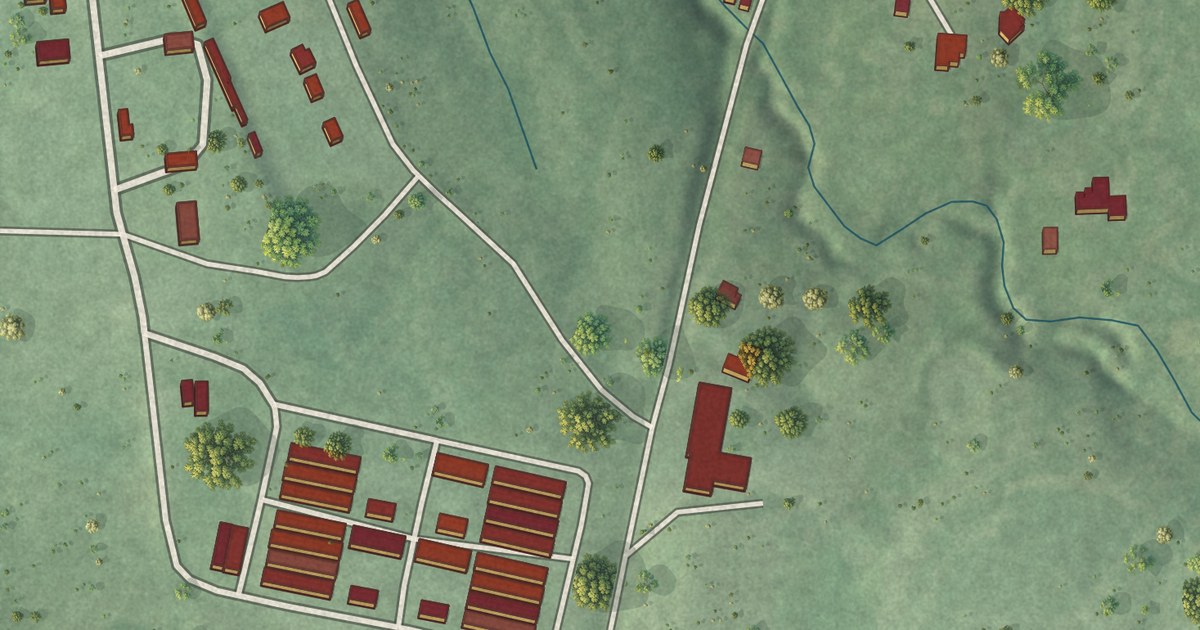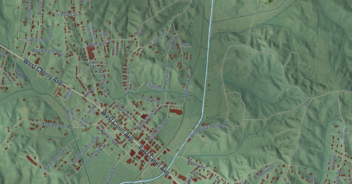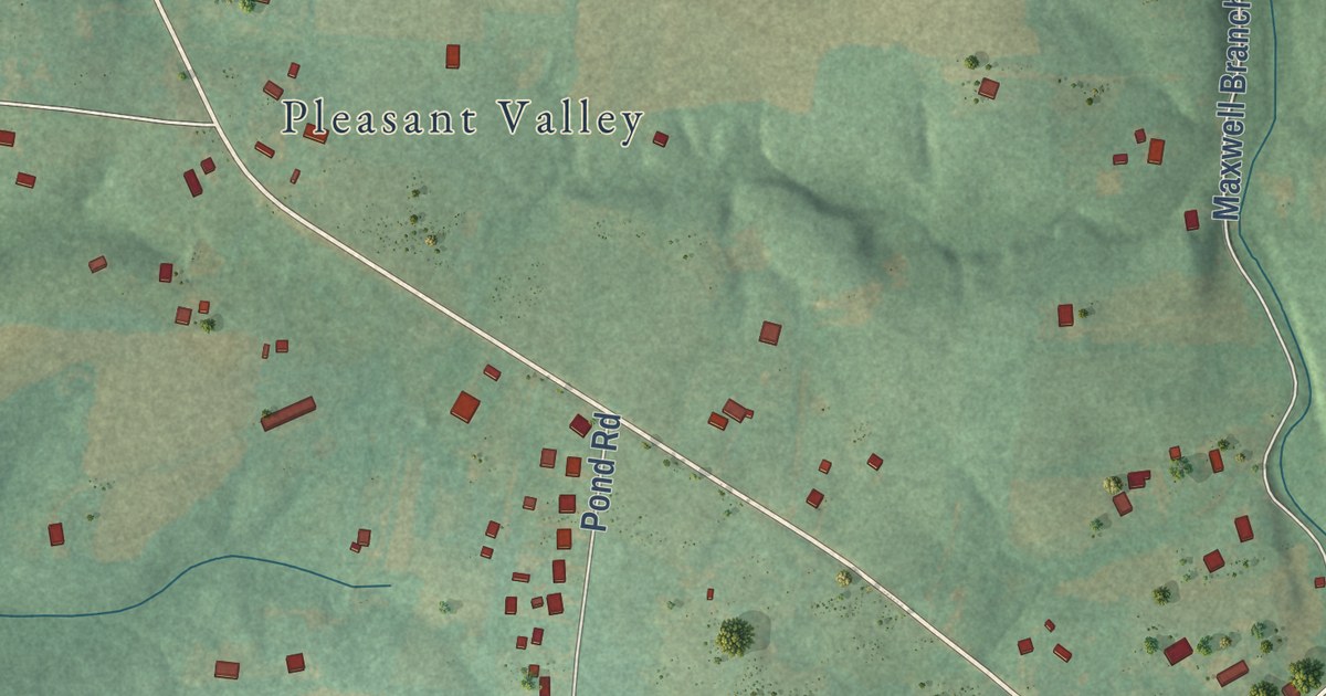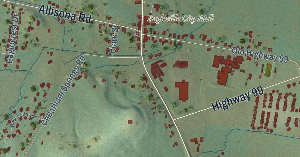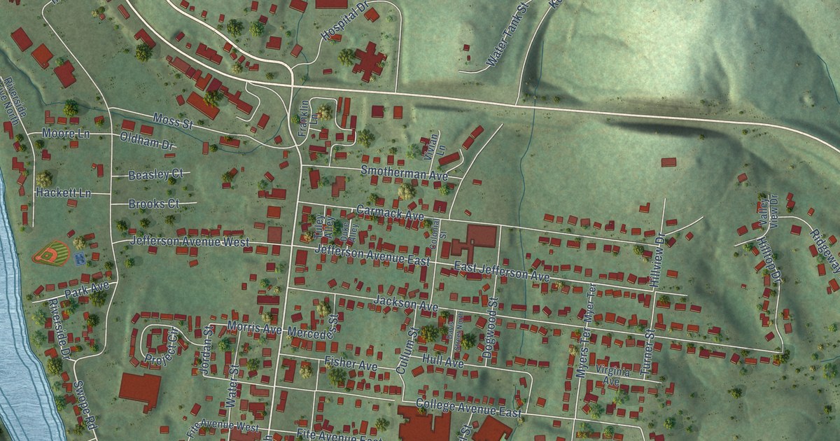
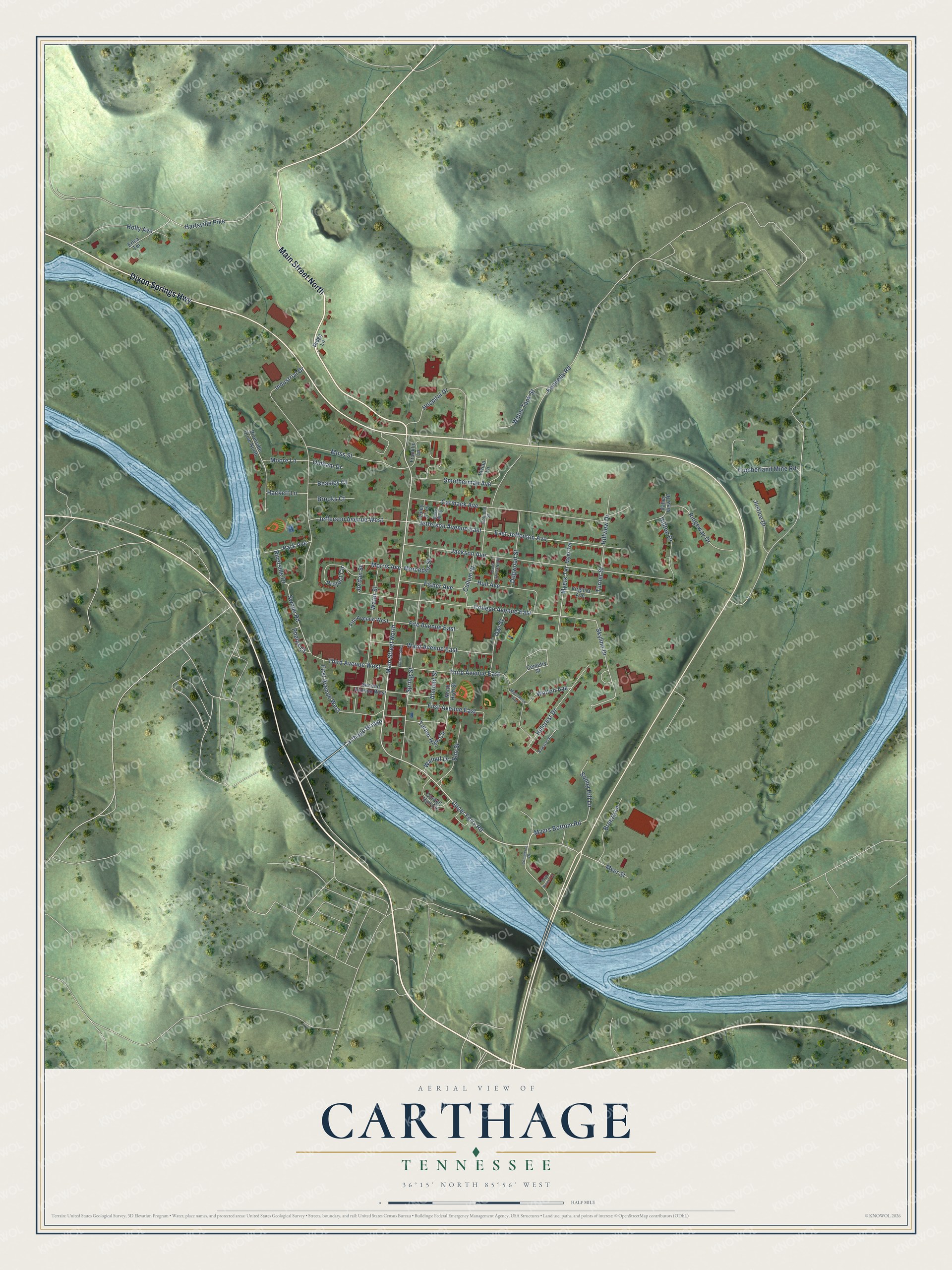
This beautifully detailed map of Carthage, Tennessee was created in 2026 using aerial imagery combined with modern topographical, census, street and landmark data. It’s a one-of-a-kind view of Carthage that combines accurate data with a vintage aesthetic. The map shows every building in its true location, many of the roads carry their names, and the shaded topographic relief shows the shape of the land.
Explore an aerial view of Carthage, Tennessee
On the map you’ll find Carthage Bridge, along with Main Street North, Dixon Springs Highway, Upper Ferry Road, Myers Bottom Road, Phelps Court, Swope Road, East Jefferson Avenue, Riverside Drive, Jefferson Avenue East, Myers Terrace, College Avenue East, and more. If you look closely you can even find your house accurately drawn in its correct location. Zoom in on the preview to look for yours.
Did you know this piece of Carthage, Tennessee history?
William Walton settled here in the late 1780s. Around 1800 he directed work on a stagecoach road linking Knoxville with Middle Tennessee. A small community grew up around his Cumberland River ferry and tavern. In 1804 it won a heated vote to become the Smith County seat, and Carthage was laid out soon after.
Take a closer look at the Carthage map
Street names on the Carthage, Tennessee map
These names are printed on the map of Carthage, Tennessee.
Streets and roads: Main Street North, Dixon Springs Highway, Upper Ferry Road, Carthage Bridge, Myers Bottom Road, Phelps Court, Swope Road, East Jefferson Avenue, Riverside Drive, Jefferson Avenue East, Myers Terrace, College Avenue East.
More street names, A to Z
Almond Street, Beasley Court, Bowman Street, Breezy Lane, Brooks Court, Carmack Avenue, Cemetry Street, Colonial Street, Commerce Drive, Cordell Hull Circle, Cullum Street, Cumberland Mine Road, Davis Street North, Dogwood Street, Duke Alley, Elm Street, Erica Terrace, First Avenue East, First Avenue West, Fisher Avenue, Fite Avenue East, Fite Avenue West, Franklin Lane, Futtrell Alley, Hackett Lane, Hartsville Pike, Hillcrest Drive, Hilltop Drive, Hillview Drive, Holly Avenue, Hospital Drive, Hull Avenue, Industrial Drive, Jackson Avenue, Jefferson Avenue West, Jordan Street, Justice Drive, Kennedy Road, McGinness Avenue, Mercedes Street, Moore Lane, Morris Avenue, Moss Street, Myer Street, Myer Terrace, North High Street, Oldham Drive, Owl Street, Park Avenue, Project Circle, Ridge Lane, Ridgeway Drive, Riverside Drive North, Second Avenue West, Skyline Drive, Smotherman Avenue, Sonny Hill Lane, Spring Street, Third Avenue East, Third Avenue West, Tuley Alley, Turner High Circle, Turner Street, Twin Rivers Lane, Valley View Drive, Virginia Avenue, Vivian Lane, Walnut Drive, Walton Avenue, Ward Avenue East, Water Street, Water Tank Street.
See the Carthage, Tennessee map on a wall
The Carthage map as an 18 x 24 inch print in a black frame.

This beautifully detailed map of Carthage makes an attractive addition to your office, library, or den, and it can even be used to teach children the geography and history of the area. It also makes a great gift for someone who left Carthage and still calls it home. When you’re done exploring, click here to get your copy of the Carthage map.