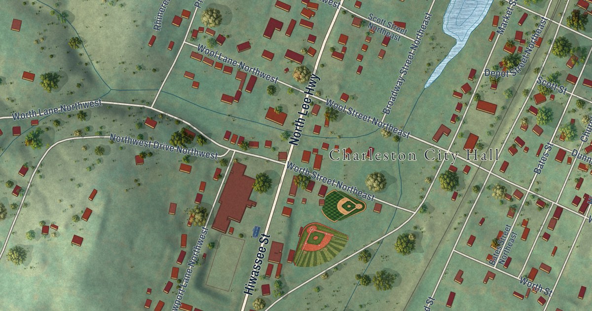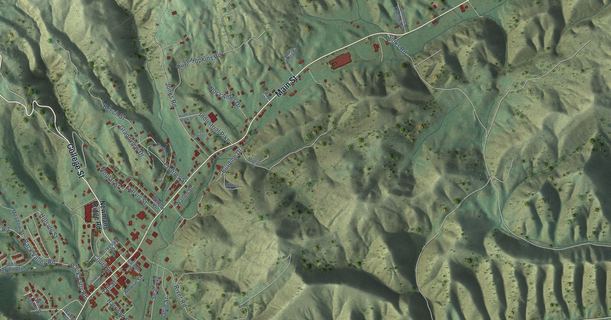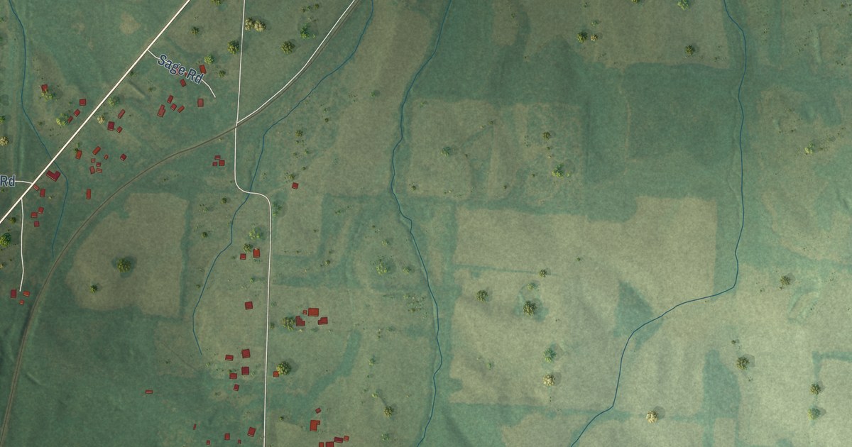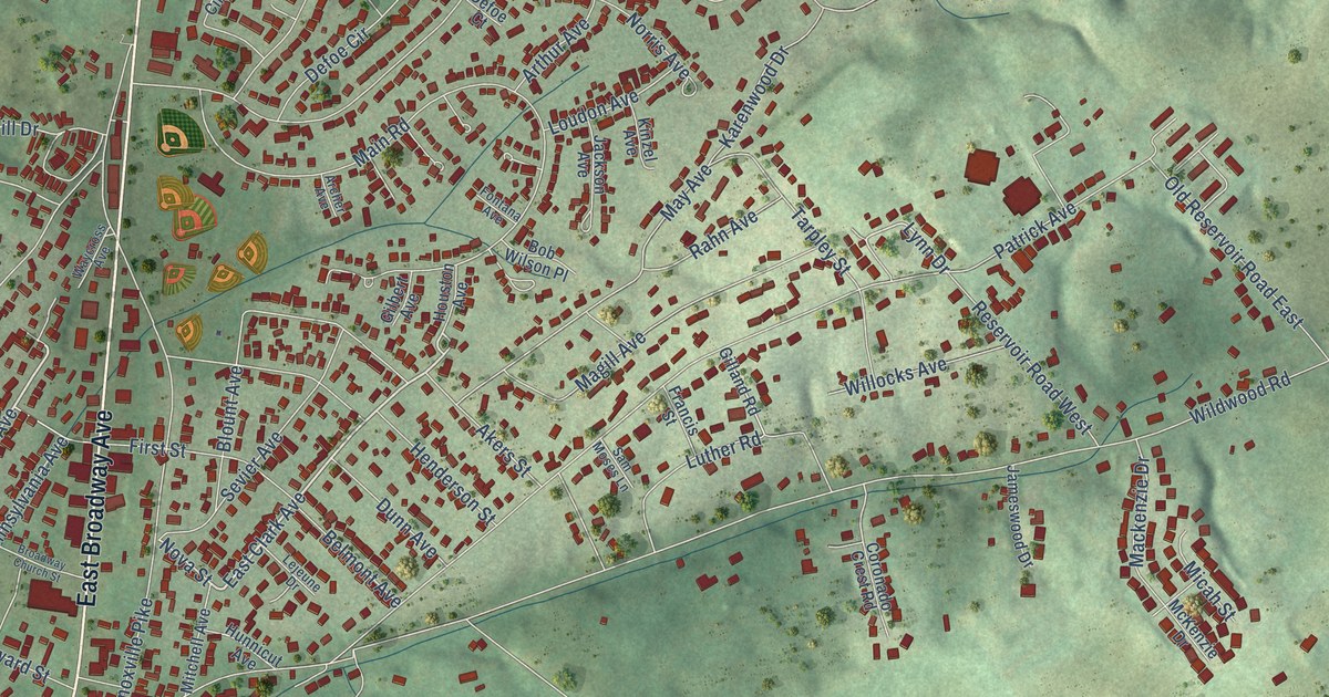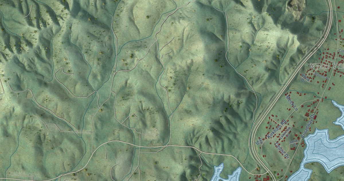
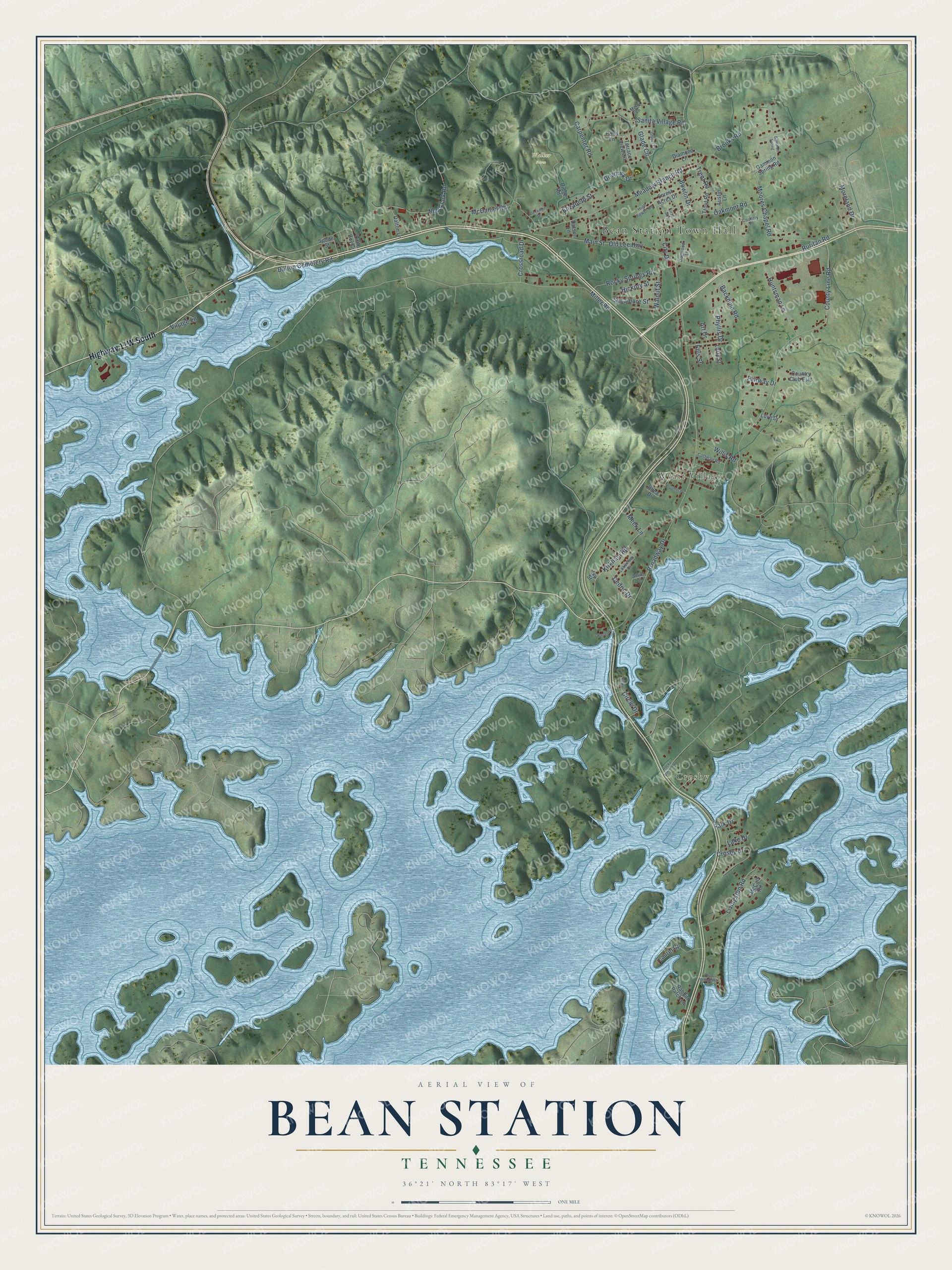
This beautifully detailed map of Bean Station, Tennessee was created in 2026 using aerial imagery combined with modern topographical, census, street and landmark data. It's a modern aerial view of Bean Station in Grainger County, Tennessee, that combines modern data with a vintage aesthetic. The roads feature printed names, and if you look closely you can find your exact house accurately shown in its correct location.
Explore an aerial view of Bean Station, Tennessee
On this map you'll find Bean Station Town Hall, Crosby, Wyatt Village, Walker Farm, Highway 11W South, Meadow Branch Road, Main Street, Trent Road, Glade Circle, Miller Road, Broadway Drive, County Line Road, and more. Each red shape is a building, so zoom in on the preview and look for yours.
Here is a piece of Bean Station history, in the words of the record. The Tennessee Encyclopedia puts it this way: "George Bean Sr., goldsmith, jeweler, and gun maker, settled Bean Station, the county's most recently chartered town (1997). Bean Station served as a crossroads along the Old Kentucky Road (Highway 25E) and the New Orleans to Washington Road (Highway 11W)."
Bean Station is a city in Grainger County. The Census Bureau counted 2,967 people here in 2020.
Take a closer look at the Bean Station map
Names on this map
These names are printed on this map.
Places: Bean Station Town Hall, Crosby, Wyatt Village and Walker Farm.
Streets and roads: Meadow Branch Road, Main Street, Trent Road, Glade Circle, Miller Road, Broadway Drive, County Line Road, Moores Chapel Road, Rocky Springs Road, Kirkham Road, Sanita Village Road, Carpenter Road.
More street names, A to Z
Adriel Drive, Art Drive, Austin Lane, Backnine Road, Bloomer Drive, Bluff Village Road, Bowlin Drive, Brooks Road, Cedric Drive, Circle Drive, City Drive, Coffman Road, Country Club Ests, Country Place, Creekside Drive, Crosby Drive, Crossroad Drive, Dalton Cemetery Road, Dalton Lane, Deadrick Drive, Diamond Lane, Dogwood Lane, Dotson Lane, Elizabeth Street, Ellis Street, Fairway Drive, First Street, Forest Acres Drive, Gammon Spring, Gammon Spring Road, Glades Circle, Harrell Lane, Hickory Street, High Tower Road, Huntsman Lane, Ivy Street, Lake Drive, Lakeview Circle, Larry Street, Laurel Cv, Little Boy Circle, Livingston Road, Love Drive, McCall Road, McDaniel Road, Meek Lane, Merle Lane, Moreland Drive, Ned Clark Road, Oakmont Road, Old Lee Highway, Park Drive, Phyllis Drive, Pond Lane, Quary Lane, Rabbitt Patch Lane, Rhea Drive, Ridge Road, Rocky Summit Road, Ruritan Road, Spoon Street, Sycamore Street, Terrace View Circle, Trout Road, Village Lane, Walnut Street, Willis Road.
Created by KNOWOL in 2026. The buildings are small red shapes, the roads carry their printed names, and shaded relief shows the shape of the land. The title panel reads "AERIAL VIEW OF BEAN STATION TENNESSEE" with 36°21' NORTH 83°17' WEST.
It suits a den, a classroom or a front hall, and it makes a gift for anyone with Bean Station roots. Open the preview and find the block you know. See sizes and frames for the Bean Station map.