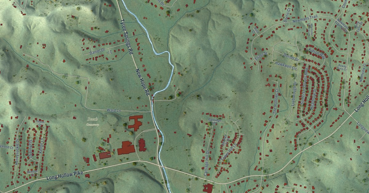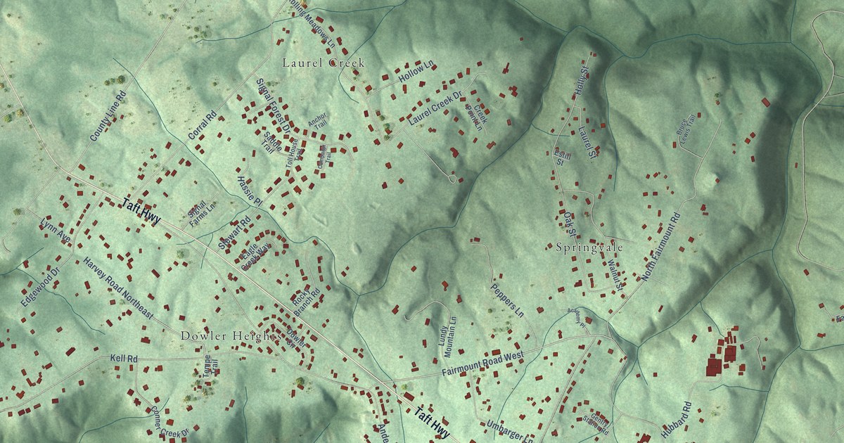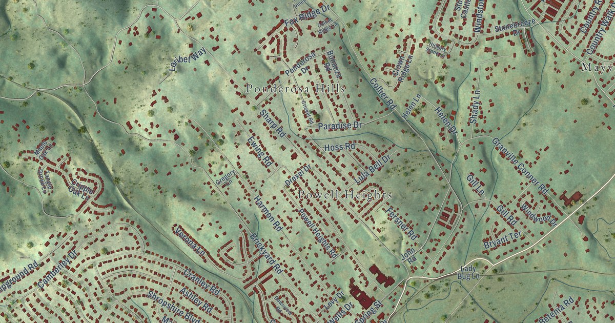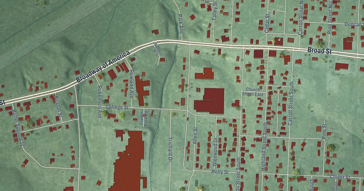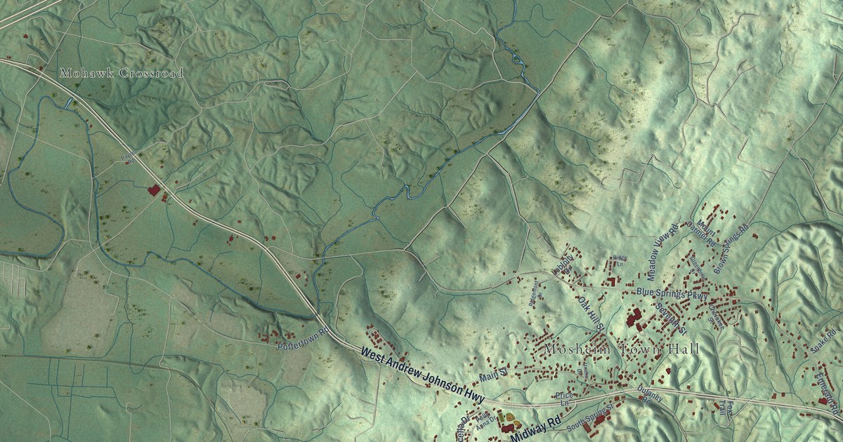
This beautifully detailed map of Mosheim, Tennessee was created in 2026 using aerial imagery combined with modern topographical, census, street and landmark data. It's a modern aerial view of Mosheim in Greene County, Tennessee, that combines modern data with a vintage aesthetic. The roads feature printed names, and if you look closely you can find your exact house accurately shown in its correct location.
Explore an aerial view of Mosheim, Tennessee
On this map you'll find Mosheim Town Hall, Mohawk Crossroad, Mount Pleasant, West Andrew Johnson Highway, Midway Road, Blue Springs Parkway, Main Street, Old US Highway 11E, Twin Barns Road, Oak Hill Street, Meadow View Road, Idell Road, and more. Each red shape is a building, so zoom in on the preview and look for yours.
Here is a piece of Mosheim history, in the words of the record. The Goodspeed History of Tennessee puts it this way: "The Holston Synod supports a very excellent college at Mosheim, in Greene County. It was first organized in 1869, and after a suspension of several years was reopened in 1884."
Mosheim is a town in Greene County. The Census Bureau counted 2,479 people here in 2020.
Take a closer look at the Mosheim map
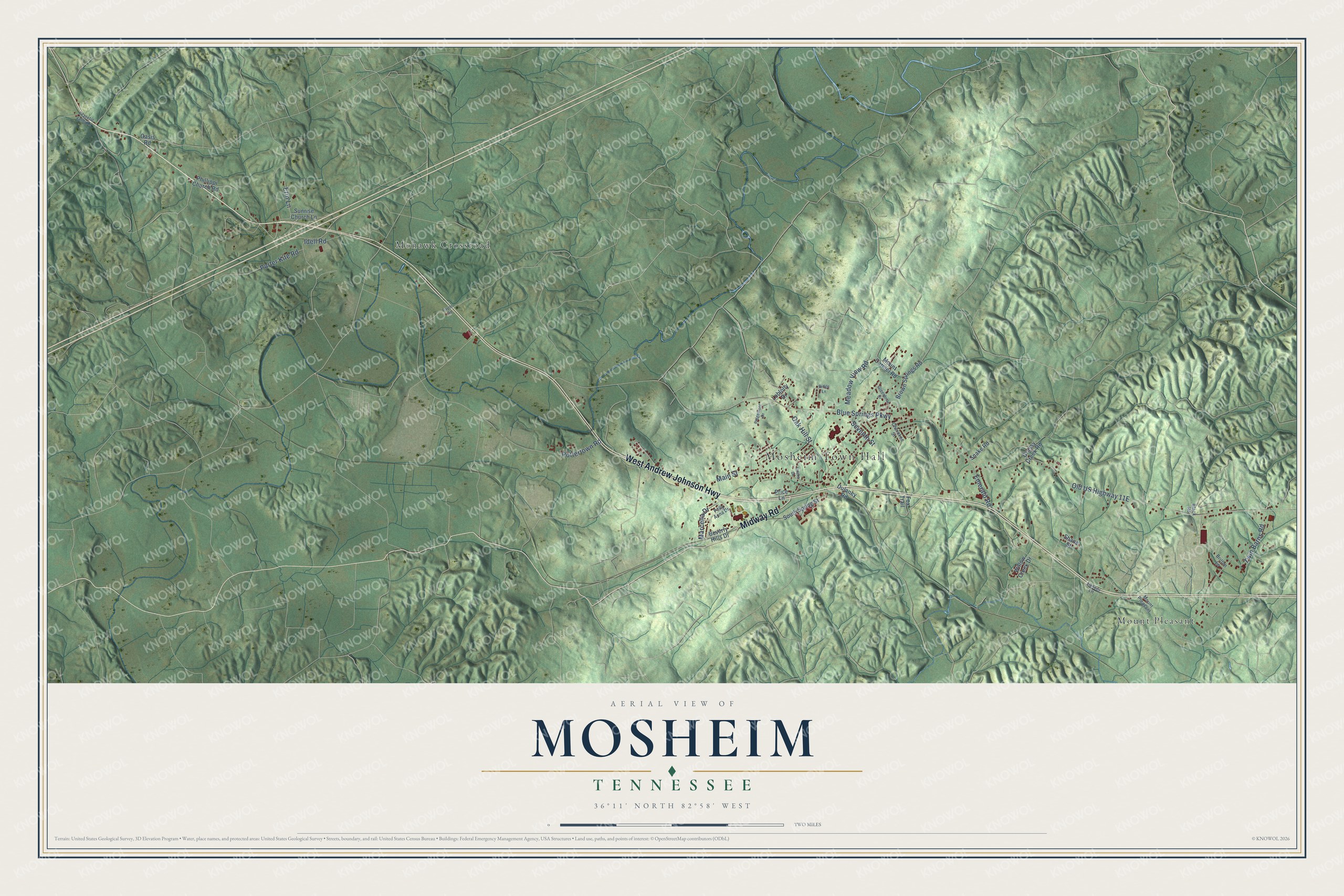
Names on this map
These names are printed on this map.
Places: Mosheim Town Hall, Mohawk Crossroad and Mount Pleasant.
Streets and roads: West Andrew Johnson Highway, Midway Road, Blue Springs Parkway, Main Street, Twin Barns Road, Oak Hill Street, Meadow View Road, Idell Road, Pottertown Road, Porter Kite Road, Erin Lane, Marcella Drive.
More street names, A to Z
Beverly Hills Drive, Black Road, Britton Lane, Brown Springs Road, Cherokee Street, Dulaney Road, Emerald Road, Fox Trail, Grassy Creek Road, Greenbriar Drive, Lancer Lane, Loblolly Drive, Mount Carmel Road, Oasis Road, Payne Road, Peaceful Valley Lane, Phillippi Church Road, Polly Anna Drive, Price Lane, Ridge Lane, Ridgemont Drive, Seventh Street, Shane Street, Snake Road, South Spring Street, Sunrise Church Lane, Unaka Drive, Willow Creek Drive.
Created by KNOWOL in 2026. The buildings are small red shapes, the roads carry their printed names, and shaded relief shows the shape of the land. The title panel reads "AERIAL VIEW OF MOSHEIM TENNESSEE" with 36°11' NORTH 82°58' WEST.
It suits a den, a classroom or a front hall, and it makes a gift for anyone with Mosheim roots. Open the preview and find the block you know. See sizes and frames for the Mosheim map.