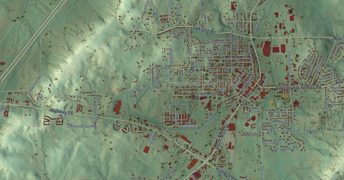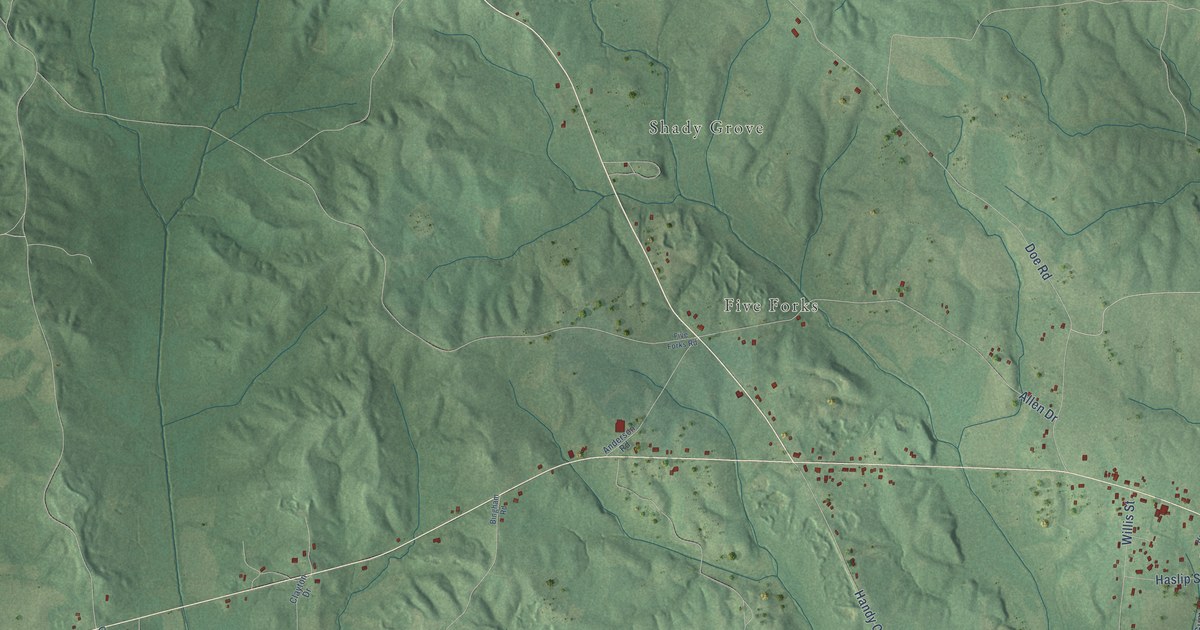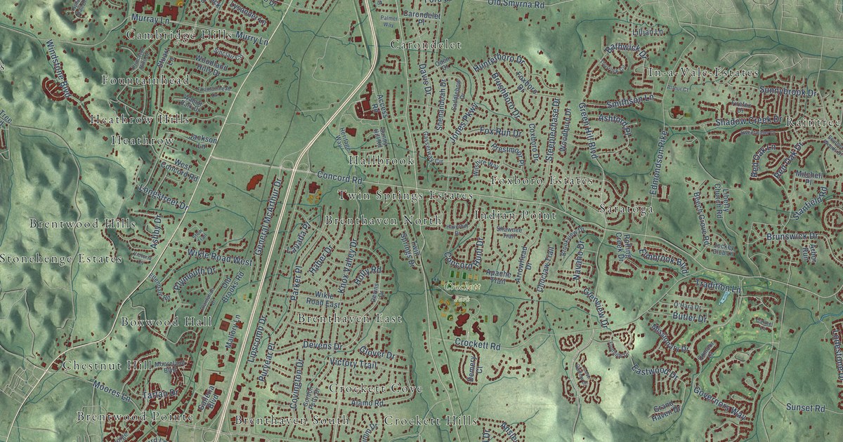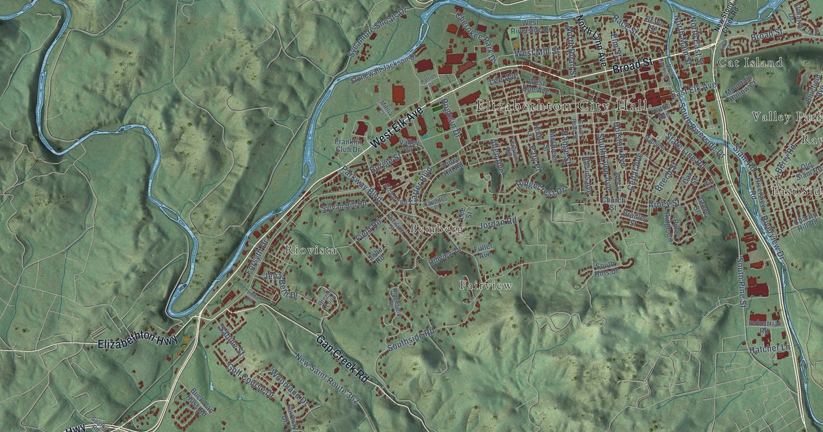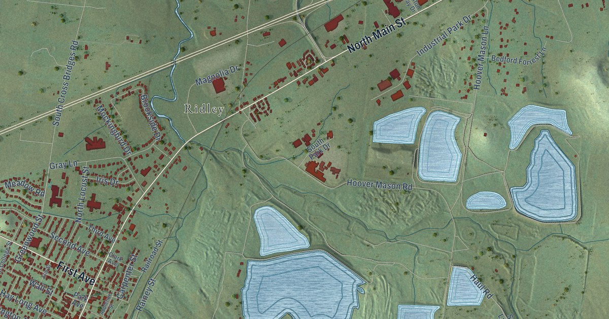
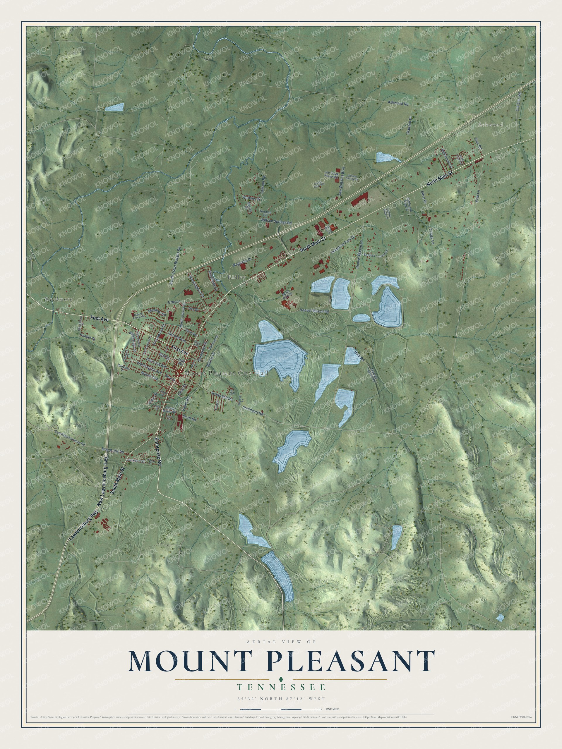
This beautifully detailed map of Mount Pleasant, Tennessee was created in 2026 using aerial imagery combined with modern topographical, census, street and landmark data. It's a modern aerial view of Mount Pleasant in Maury County, Tennessee, that combines modern data with a vintage aesthetic. The roads feature printed names, and if you look closely you can find your exact house accurately shown in its correct location.
Explore an aerial view of Mount Pleasant, Tennessee
On this map you'll find Mount Pleasant City Hall, Ashwood, Needmore, Ridley, Enterprise Road, North Main Street, South Main Street, First Avenue, New Lawrenceburg Highway, Lawrenceburg Highway, Polk Lane, North High Street, and more. Each red shape is a building, so zoom in on the preview and look for yours.
Here is a piece of Mount Pleasant history, in the words of the record. The Internet Archive puts it this way: "Mount Pleasant is at the terminus of a branch of the Louisville A Nashville Railroad,
4 it)
HISTORY OF TENNESSEE."
Mount Pleasant is a city in Maury County. The Census Bureau counted 4,784 people here in 2020.
Take a closer look at the Mount Pleasant map
Names on this map
These names are printed on this map.
Places: Mount Pleasant City Hall, Ashwood, Needmore, Ridley and McGee Trailer Park.
Streets and roads: Enterprise Road, North Main Street, South Main Street, First Avenue, New Lawrenceburg Highway, Lawrenceburg Highway, Polk Lane, North High Street, Hoover Mason Road, Hoover Mason Lane, Scotts Mill Road, Southport Road.
More street names, A to Z
Adams Avenue, Appletree Street, Arrow Mines Road, Ashwood Road, Bedford Forrest Lane, Bellview Drive, Bond Street, Brookside Drive, Canaan Road, Carpenter Street, Charles Tisher Way, Clark Avenue, Clauson Drive, Clifton Way Drive, East Plant Entrance Road, Edgewood Street, Elm Street, Fairview Drive, Frierson Lane, Gant Street, Glass Street, Gray Lane, Gray Street, Greenwood Street, Hamlet Street, Haul Road, Hay Long Avenue, Hidden Acres Avenue, Industrial Park Drive, Iris Drive, Jackson Street, Joe Frank Porter Road, Lowe Street, Lucius Polk Lane, Magnolia Drive, Meadow Road, Mockingbird Drive, Mount Joy Road, Murray Drive, Norman Road, North College Street, North Locust Street, Old Zion Road, Olive Street, Park Avenue, Pierce Place, Railroad Street, Rainey Street, Rattle and Snap Drive, Redwood Circle, Saw Watkins Boulevard, Scott Road, Second Avenue, Sewage Lagoon Road, Shackelford Drive, Sirco Drive, South Cross Bridges Road, South Park Drive, Third Avenue, Trilogy Lane, Tulip Street, Union Street, Valley Road, Wall Street, Washington Avenue, Watkins Drive, William Shirley Road, William Springs Road, Zion Road.
Created by KNOWOL in 2026. The buildings are small red shapes, the roads carry their printed names, and shaded relief shows the shape of the land. The title panel reads "AERIAL VIEW OF MOUNT PLEASANT TENNESSEE" with 35°32' NORTH 87°12' WEST.
It suits a den, a classroom or a front hall, and it makes a gift for anyone with Mount Pleasant roots. Open the preview and find the block you know. See sizes and frames for the Mount Pleasant map.