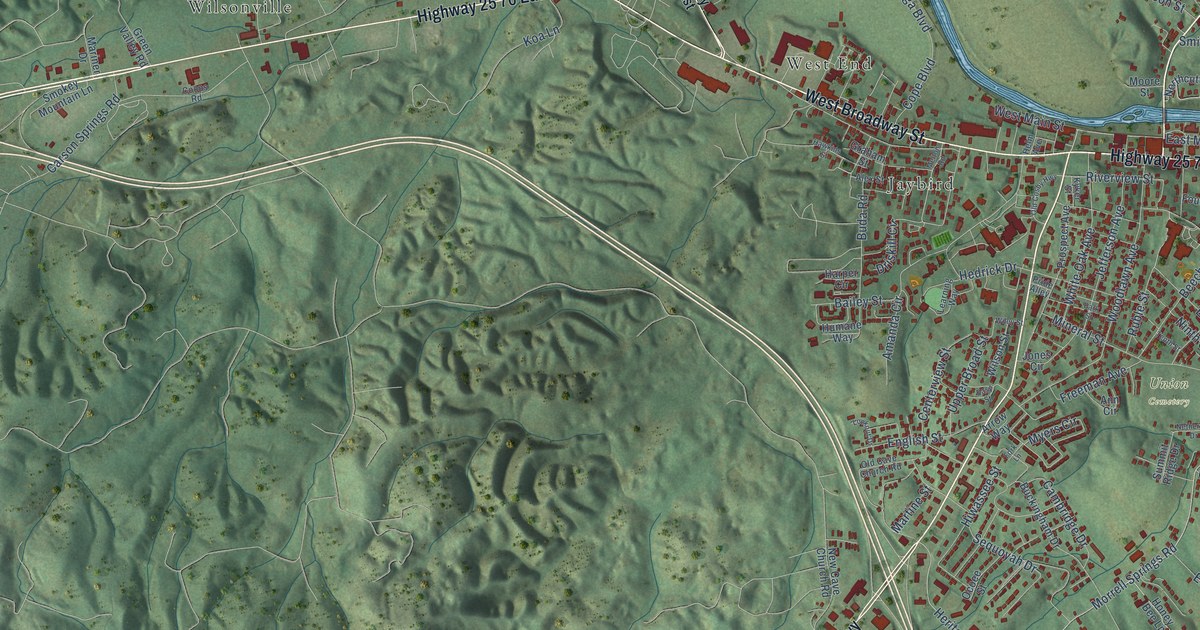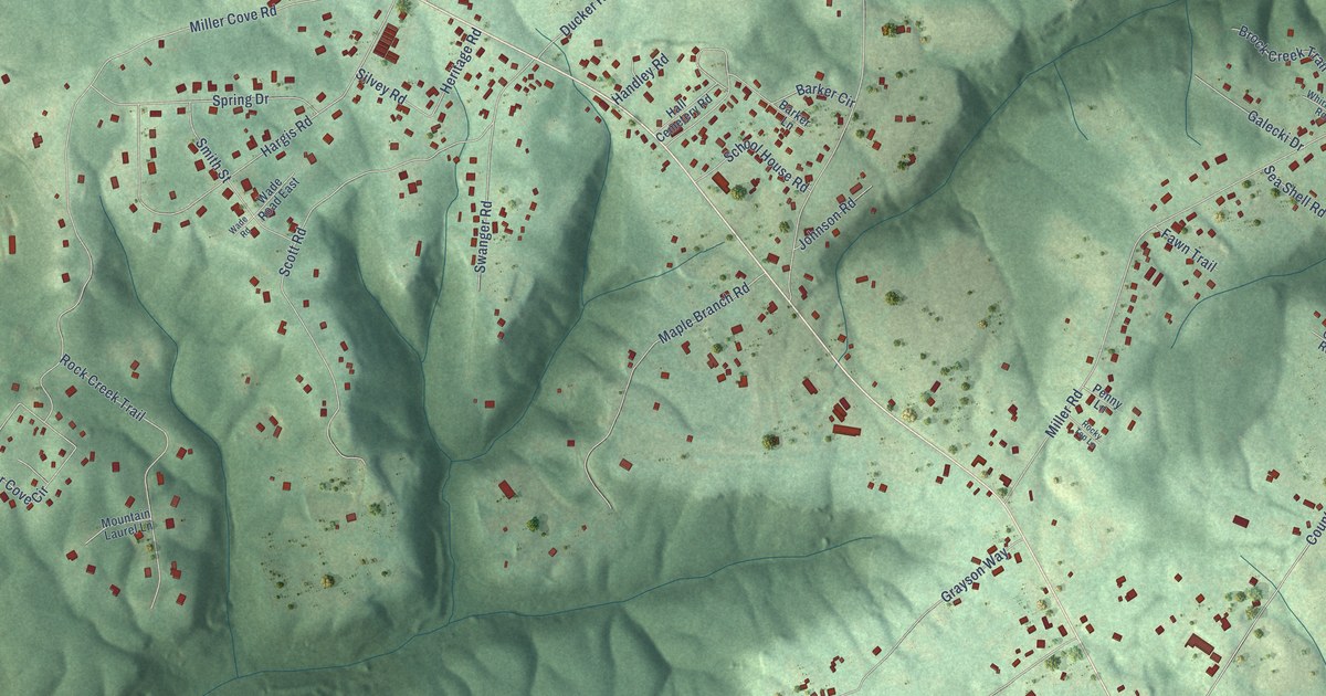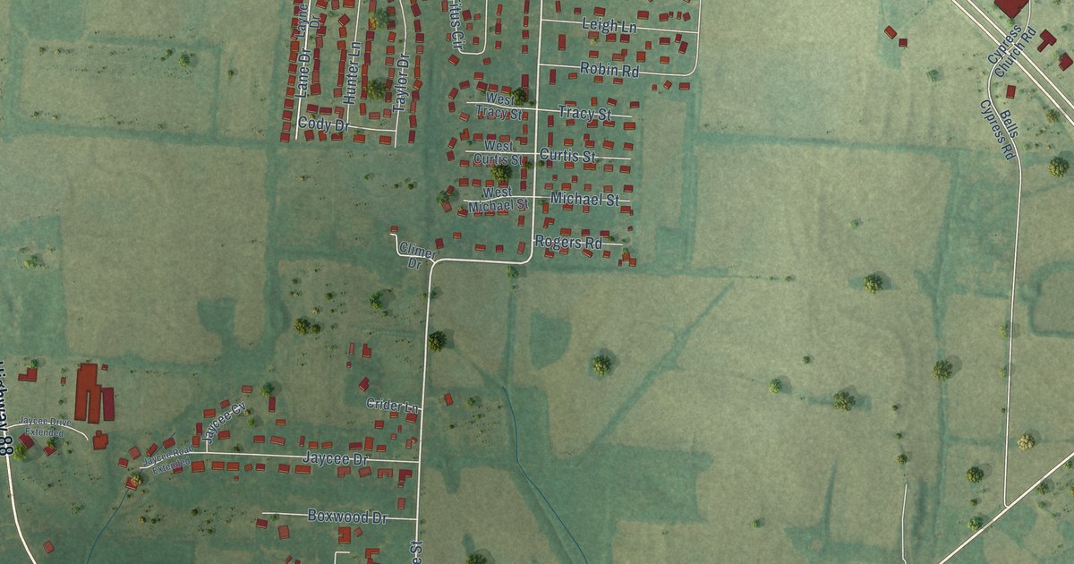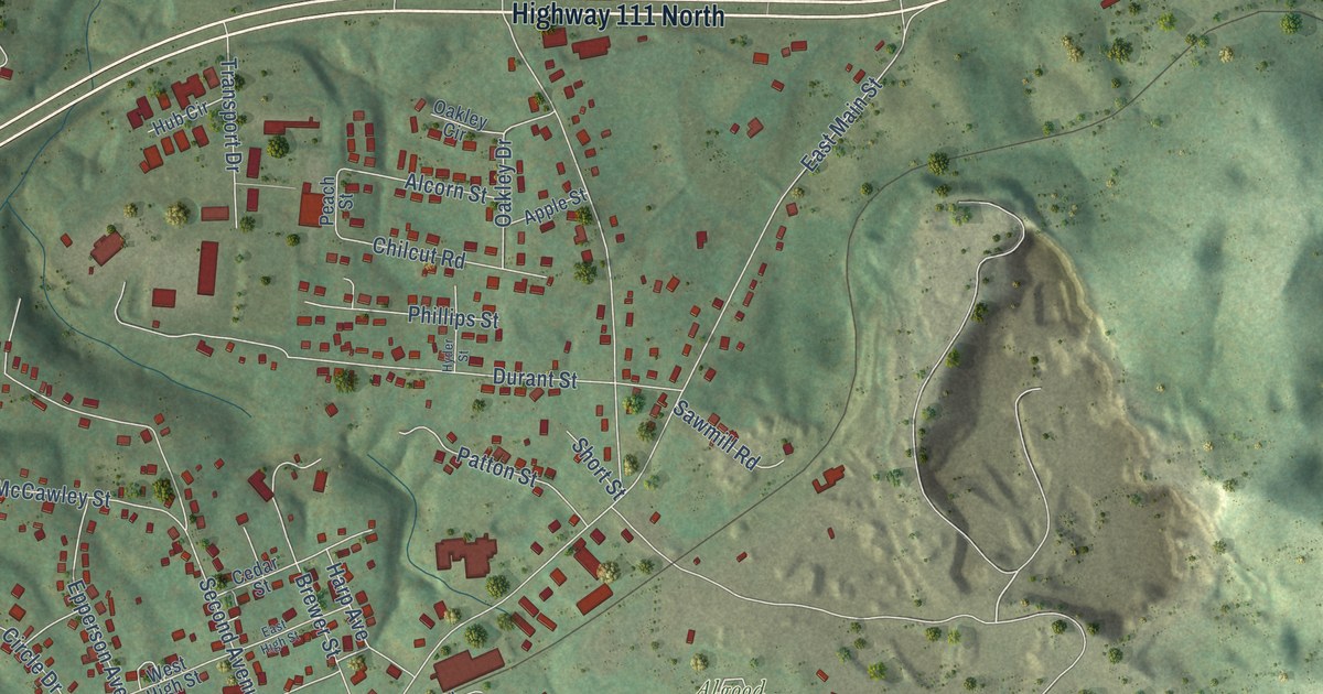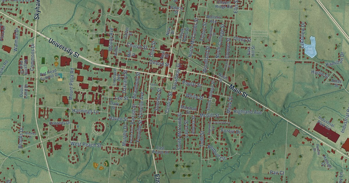
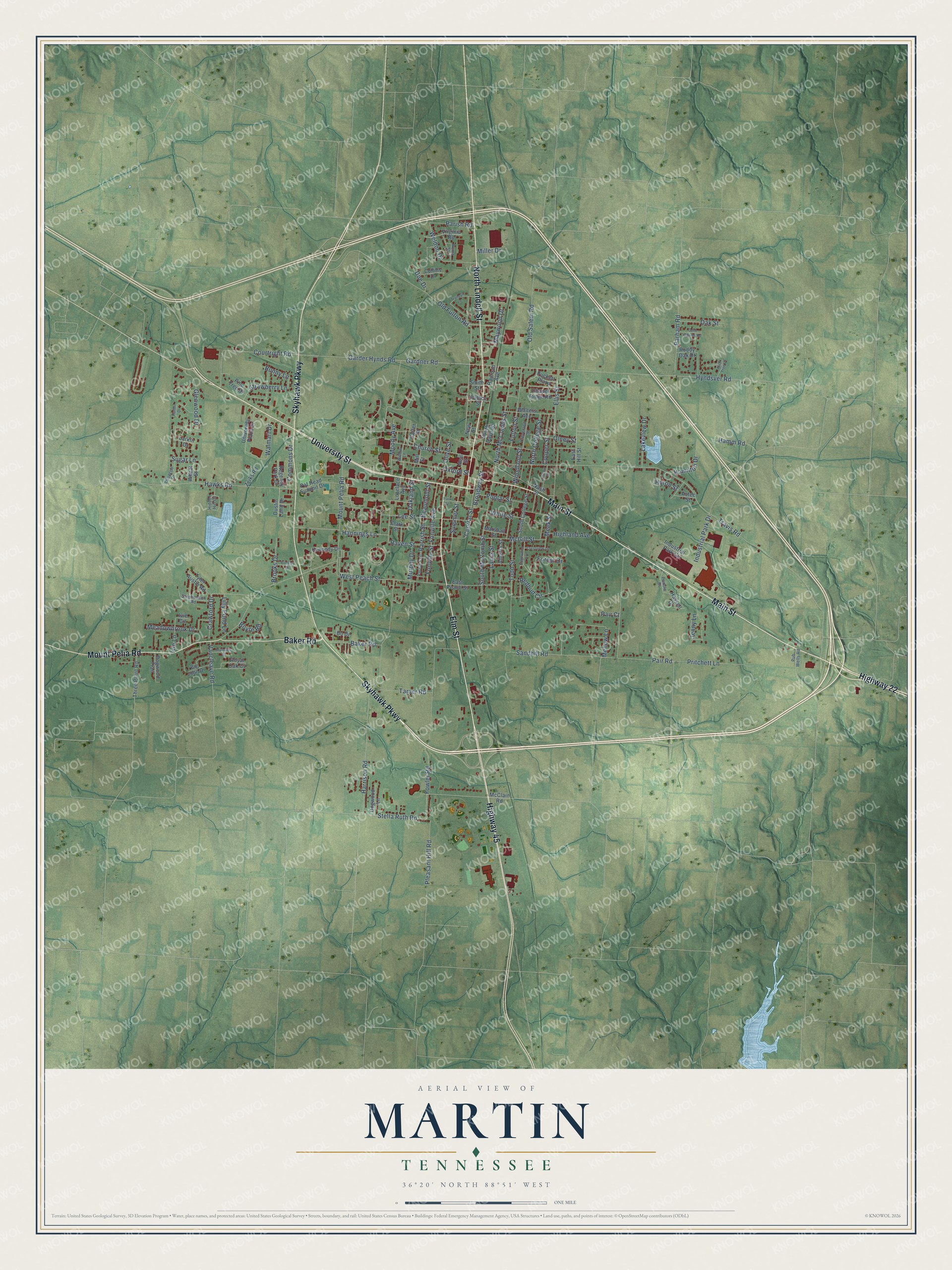
This beautifully detailed map of Martin, Tennessee was created in 2026 using aerial imagery combined with modern topographical, census, street and landmark data. It's a modern aerial view of Martin in Weakley County, Tennessee, that combines modern data with a vintage aesthetic. The roads feature printed names, and if you look closely you can find your exact house accurately shown in its correct location.
Explore an aerial view of Martin, Tennessee
On this map you'll find Skyhawk Parkway, Elm Street, Main Street, Highway 22, University Street, Highway 45, North Lindell Street, Mount Pelia Road, Baker Road, Gardner Road, Stella Ruth Road, Garder Hynds Road, and more. Each red shape is a building, so zoom in on the preview and look for yours.
Martin has a story worth telling. The record at tennesseeencyclopedia.net puts it this way: "In addition to public schools, the town was the home to two denominational academies, McFerrin and Hall-Moody, the latter evolving into the University of Tennessee at Martin by 1967."
Martin is a city in Weakley County. The Census Bureau counted 10,825 people here in 2020.
Take a closer look at the Martin map
Names on this map
These names are printed on this map.
Streets and roads: Skyhawk Parkway, Elm Street, Main Street, Highway 22, University Street, Highway 45, North Lindell Street, Mount Pelia Road, Baker Road, Gardner Road, Stella Ruth Road, Garder Hynds Road.
More street names, A to Z
Alberta Street, Arch Tree Lane, Aztec Street, Beaumont Street, Big John Drive, Bo Drive, Boyte Road, Broadway Street, Brooks Drive, Brundige Street, Buckley Drive, Bunny Lane, Carter Street, Central Street, Chapel Ridge Road, Church Street, Clark Street, Cleveland Street, Collins Drive, Commons Drive, Cooper Street, Courtright Road, Crawford Drive, Crestview Lane, Doe Drive, Dogwood Lane, Dogwood Trail, Dustin Laird Drive, East Hill Street, East Peach Street, Edgewood Avenue, Ellis Street, Fonville Avenue, Fonville Street, Forest Drive, Fowler Road, Fulton Street, Gene Adams Road, Glenwood Drive, Hamilton Drive, Hamm Road, Hannings Lane, Harrison Road, Hassell Drive, Hawks Road, Hidden Hill Cv, Highland Avenue, Hunter Drive, Huron Street, Hyndsver Road, Industrial Park Circle, Industrial Park Drive, Ivie Circle, Ivie Lane, Jenny Lane, Kennedy Drive, Lakeview Drive, Larkin Drive, Laura Street, Lee Street, Lilly Pond Lane, Lincoln Street, Lovelace Avenue, Marshall Street, Maywood Drive, McClain Road, McGill Street, Meadowbrook Drive, Meek Street, Mellow Lane, Miller Drive, Mill Street, Moody Avenue, Murphy Drive, Nash Street, Neal Street, New Street, North College Street, North McCombs Street, Oakland Street, Oak Street, Old Fulton Road, Old Salem Road, Olive Street, Olney Street, Oxford Street, Pair Court, Pair Road, Palace Street, Panola Drive, Parham Road, Parish Exit, Parish Road, Park Street, Parrish Street, Pat Head Summit Drive, Pine Tree Drive, Pleasant Hill Road, Poplar Street, Pritchett Lane, Pub Wells Road, Puckett Plaza, Railroad Avenue, Raven Street, Redbud Circle, Regency Park Drive, Roma Street, Royal Oak Cv, Ruddy Oak Drive, Sandhill Road, Smith Street, South College Street, South Davis Street, South McComb Street, Stephenson Road, Strawberry Lane, Sugar Lane, Summer Street, Tarver Road, Three Point Road, Tobacco Drive, Todd Street, Tranquil Lane, Travis Road, Tyler Austin Road, University Plaza Drive, Vancleave Road, Virginia Road, Walmart Drive, Walters Avenue, Weldon Drive, West Peach Street, Wheat Street, White Street, Willow Lane, Woodland Street, Zeiks Road.
Created by KNOWOL in 2026. The buildings are small red shapes, the roads carry their printed names, and shaded relief shows the shape of the land. The title panel reads "AERIAL VIEW OF MARTIN TENNESSEE" with 36°20' NORTH 88°51' WEST.
It looks right in a kitchen, an office or a den, and it's a gift for anyone who grew up in Martin or moved away. Open the preview and find your street. See sizes and frames for the Martin map.