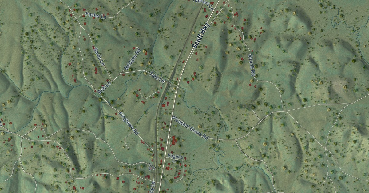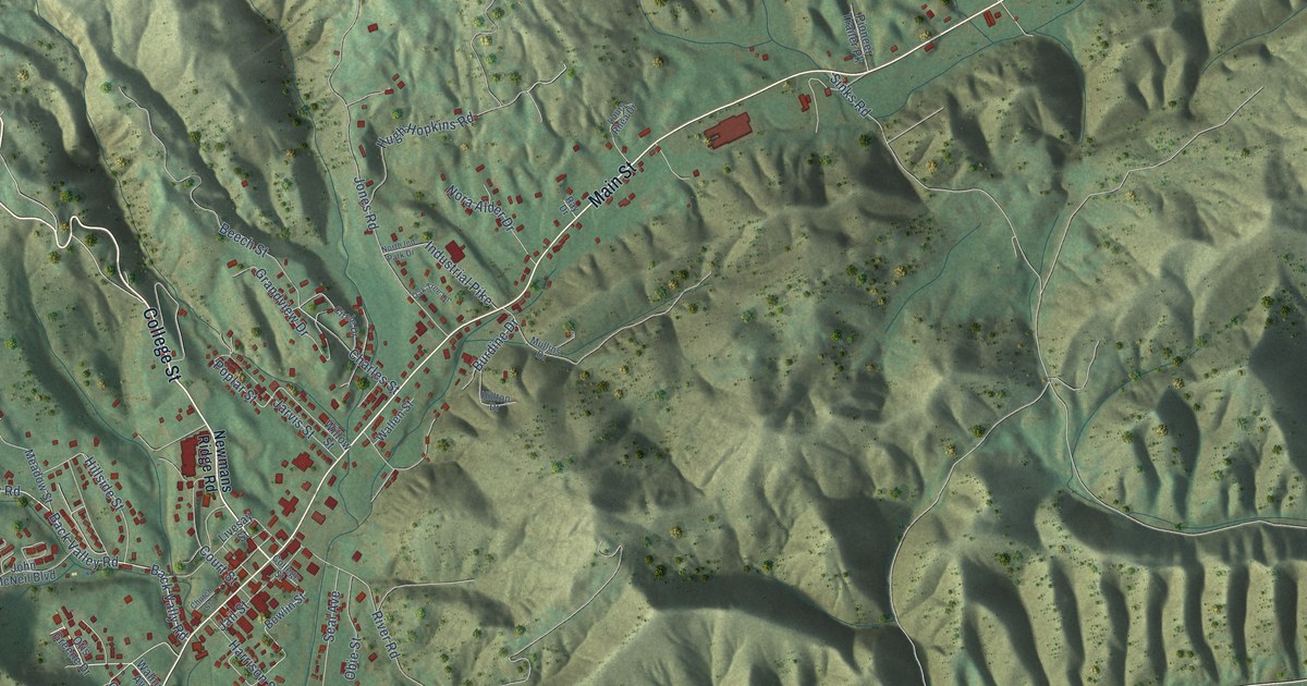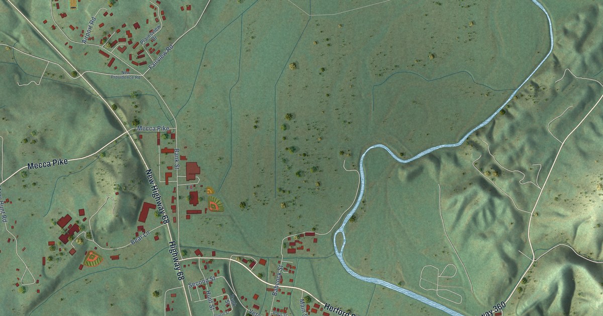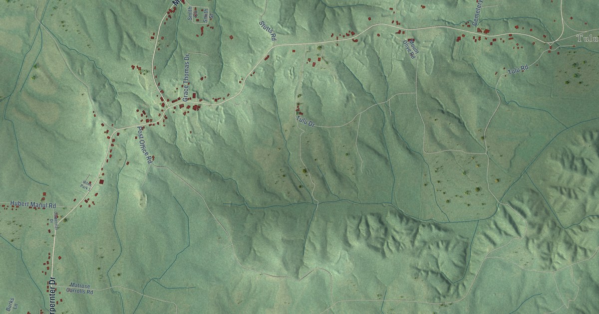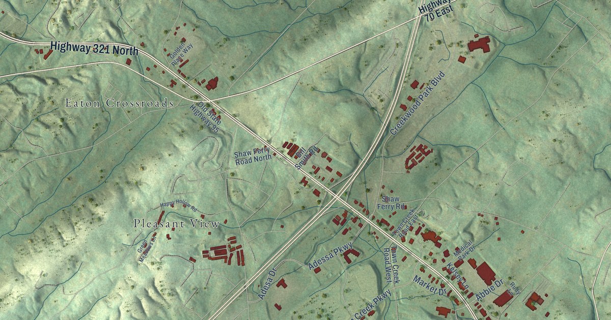
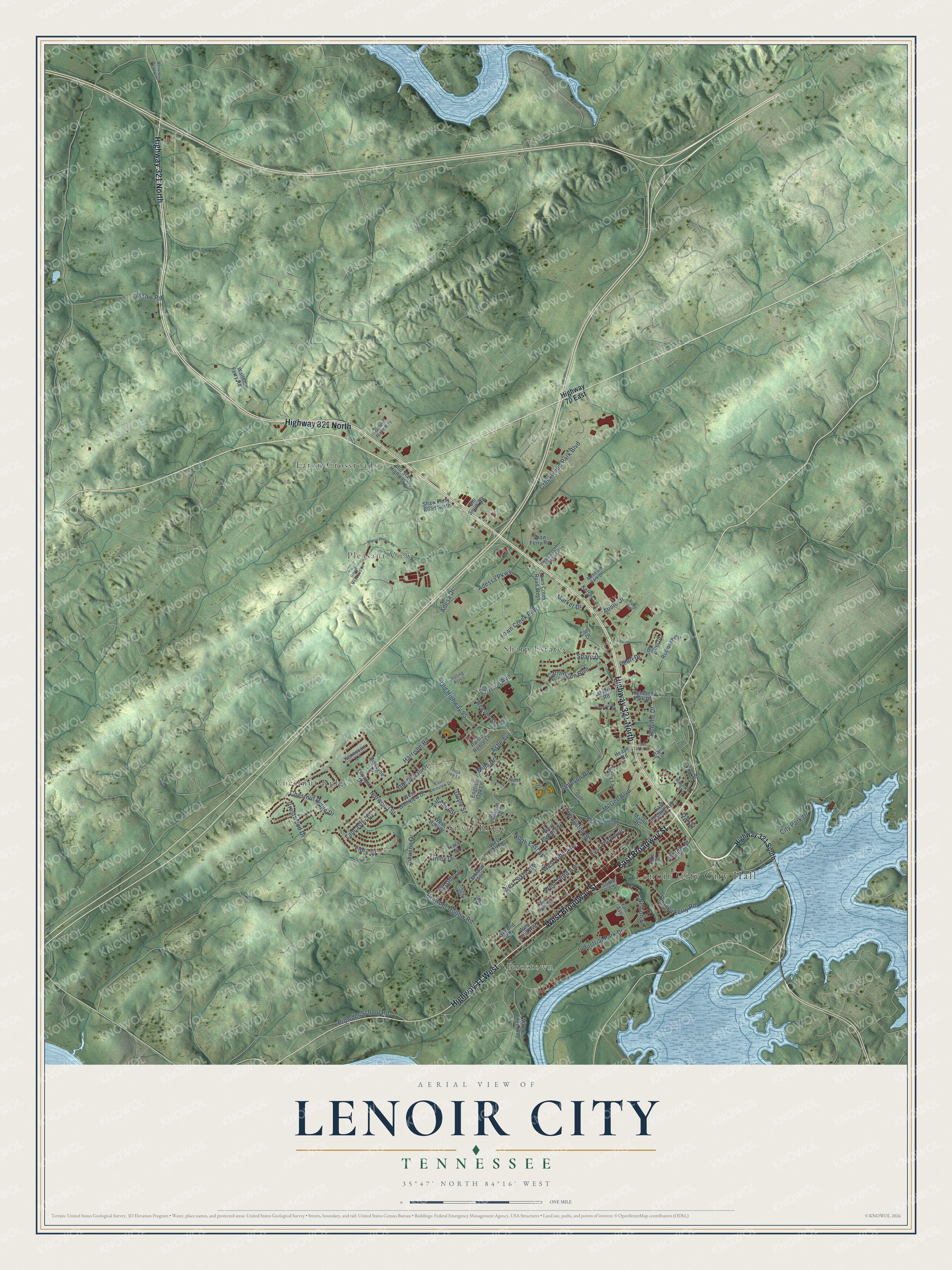
This beautifully detailed map of Lenoir City, Tennessee was created in 2026 using aerial imagery combined with modern topographical, census, street and landmark data. It's a modern aerial view of Lenoir City in Loudon County, Tennessee, that combines modern data with a vintage aesthetic. The roads feature printed names, and if you look closely you can find your exact house accurately shown in its correct location.
Explore an aerial view of Lenoir City, Tennessee
On this map you'll find Bucktown, Chestnut Ridge, Eaton Crossroads, Pleasant View, Sharp Estates, Silver Ridge, Highway 321 North, West Broadway Street, East Broadway Street, Highway 11 West, Adessa Parkway, Ashe Avenue, and more. Each red shape is a building, so zoom in on the preview and look for yours.
Every town has a first chapter, and Lenoir City is no exception. The record at tennesseeencyclopedia.net puts it this way: "The Lenoir City Company, founded in 1890, attracted new industries, including the Bass Foundry and Machine Shop, which eventually built railroad cars for the Southern Railroad Company under the name Lenoir Car Works."
Lenoir City is a city in Loudon County. The Census Bureau counted 10,117 people here in 2020.
Take a closer look at the Lenoir City map
Names on this map
These names are printed on this map.
Places: Lenoir City City Hall, Bucktown, Chestnut Ridge, Eaton Crossroads, Pleasant View, Sharp Estates and Silver Ridge.
Streets and roads: Highway 321 North, West Broadway Street, East Broadway Street, Highway 11 West, Adessa Parkway, Ashe Avenue, Abbie Drive, Industrial Park Drive, East Third Avenue, Town Creek Parkway, West Third Avenue, Harrison Avenue.
More street names, A to Z
Adesa Drive, Bethel Drive, Bill Smith Road, Biscayne Drive, Browder Hollow Road, Browder School Road, Bussell Ferry Road, Carrington Boulevard, Chestnut Ridge Drive, Church Drive, City Park Drive, Coffey Circle, Coley Lane, Cory Drive, Creekwood Park Boulevard, Crestwood Drive, Doyle Street, East Glenview Drive, East Second Avenue, English Oak Lane, Finley Drive, Flora Drive, Glenbrook Drive, Golden Place Way, Green Meadows Lane, Hair Lane, Hall Street, Happy Hollow Road, Harrison Road, Heape Road, Henline Drive, Highland Park Drive, Highway 70 East, Highway 321 South, Hillside Lane, Johnson Drive, Kelly Lane, Kelsey Lane, Kennesaw Lane, Kingston Street, Lancaster Drive, Magnolia Street, Manis Road, Maple Street, Market Drive, Martin Drive, McGee Boulevard, Medical Park Drive, Mills Drive, Myers Road, Nelson Street, North East Street, Norwood Street, Oakland Avenue, Oak Street, Old Highway 95, Old State Highway 95, Olympic Drive, Paisley Reece Lane, Pearl Drive, Pike Street, Pinewood Drive, Reeves Street, Robinson Circle, Rock Springs Road, Rogers Drive, Rolling Acres, Rudy Lane, Second Avenue, Selma Street, Shady Lane, Sharp Drive, Shaw Ferry Road, Shaw Ferry Road North, Simpson Road, South Hill Street, Thuja Tree Lane, Town Creek Road East, Town Creek Road West, Tracy Lane, Tva Acc, Twin Lakes Road, Waller Ferry Road, Waters Edge Way, West Eighth Avenue, West Fifth Avenue, West First Avenue, West Glenview Drive, West Hills Drive, West Second Avenue, West Sixth Avenue, West Tenth Avenue, White Wing Road North, Wilson Street, Yale Avenue.
Created by KNOWOL in 2026. The buildings are small red shapes, the roads carry their printed names, and shaded relief shows the shape of the land. The title panel reads "AERIAL VIEW OF LENOIR CITY TENNESSEE" with 35°47' NORTH 84°16' WEST.
Hang it in the hallway, the office or the cabin, or give it to someone who left Lenoir City and still calls it home. Open the preview and look for a street you know. See sizes and frames for the Lenoir City map.