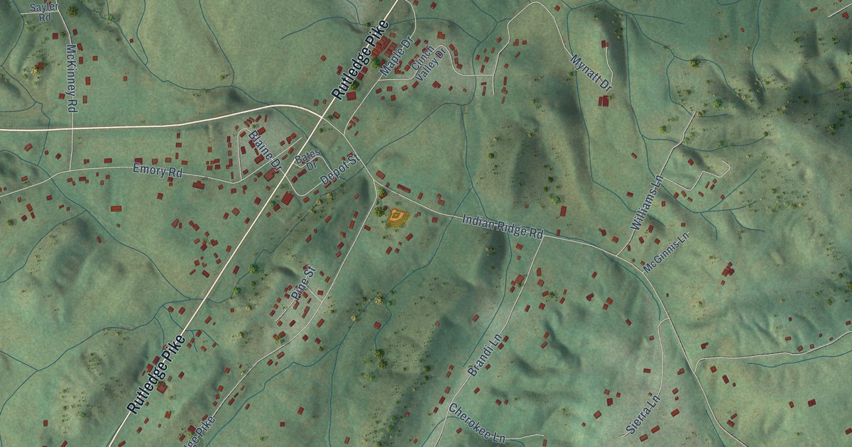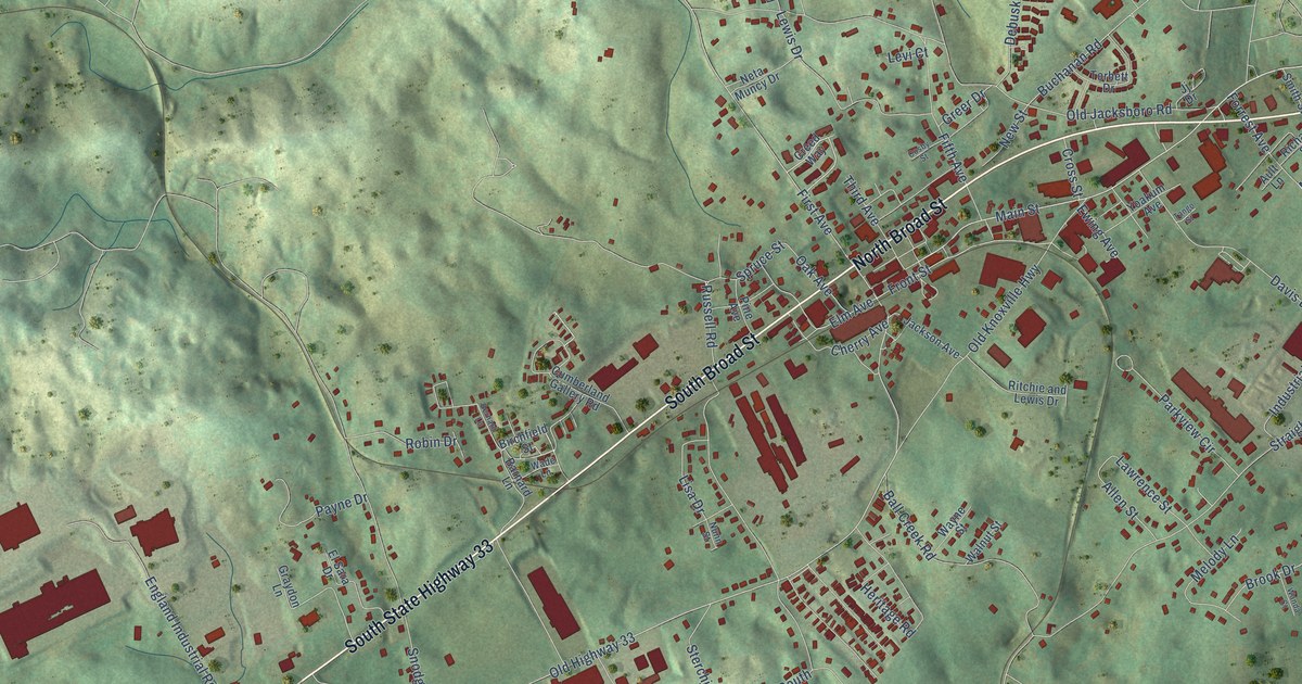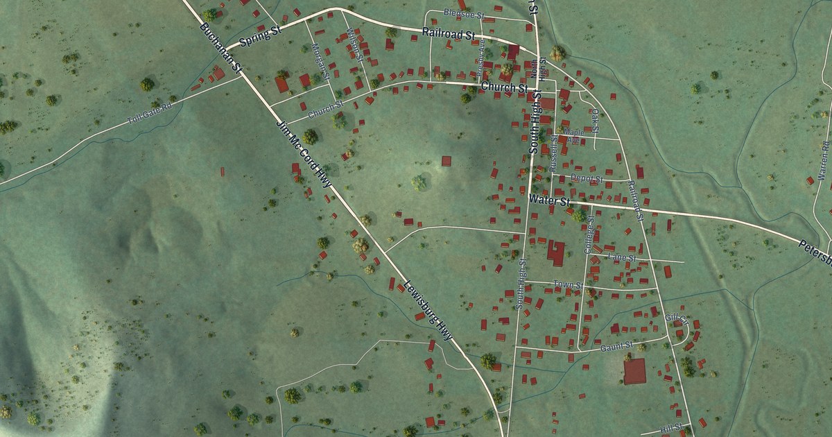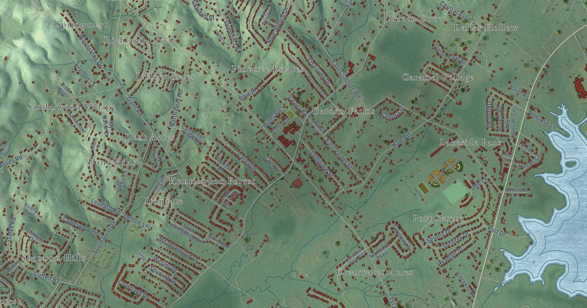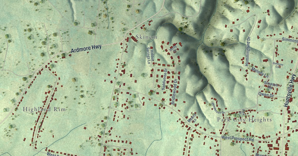
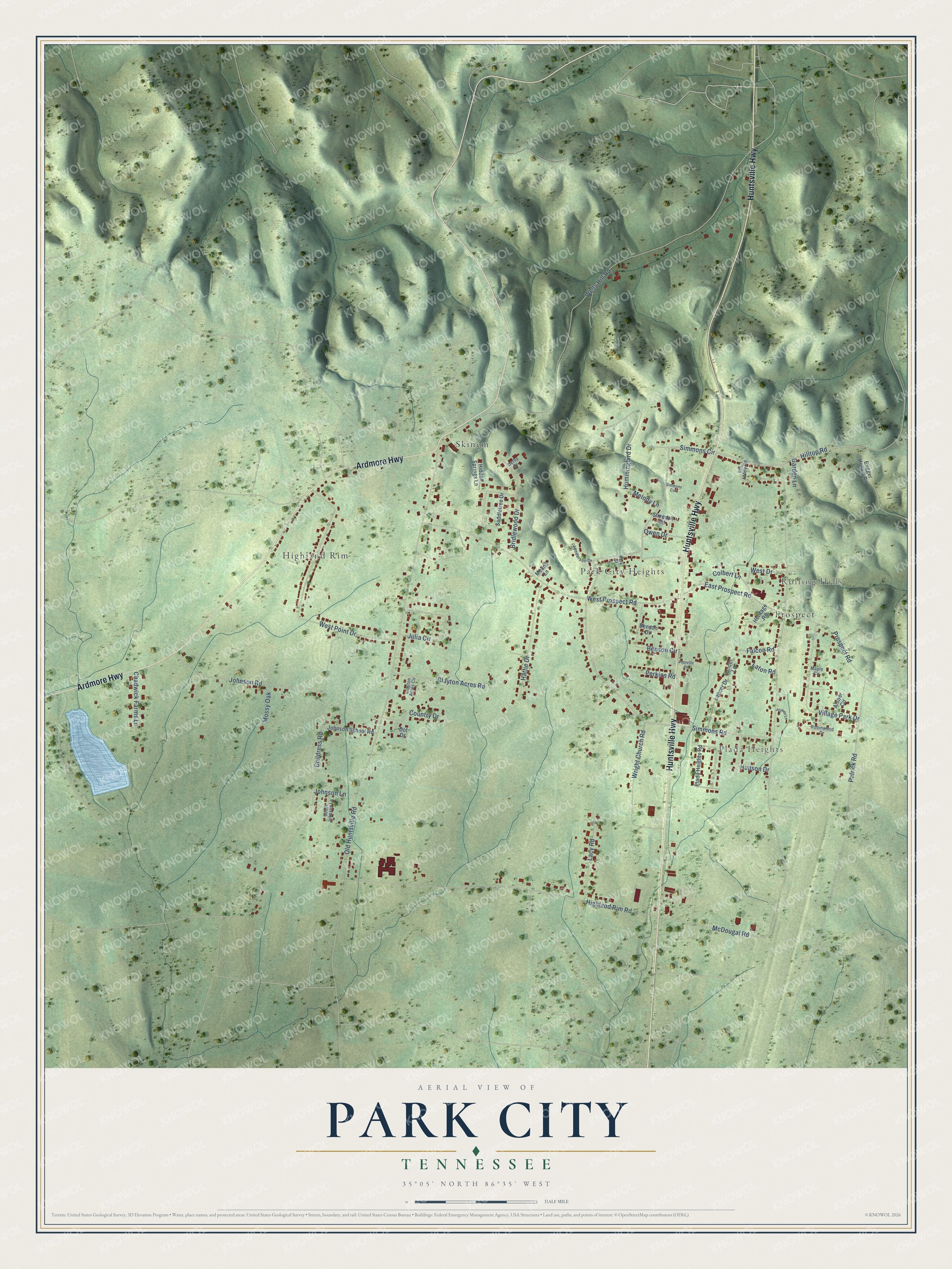
This beautifully detailed map of Park City, Tennessee was created in 2026 using aerial imagery combined with modern topographical, census, street and landmark data. It's a modern aerial view of Park City in Lincoln County, Tennessee, that combines modern data with a vintage aesthetic. The roads feature printed names, and if you look closely you can find your exact house accurately shown in its correct location.
Explore an aerial view of Park City, Tennessee
On this map you'll find Plada Heights, Rolling Hills, Highland Rim, Park City Heights, Prospect, Skinem, Huntsville Highway, Ardmore Highway, Simmons Circle, Hilltop Road, McDougal Road, Old Huntsville Road, and more. Each red shape is a building, so zoom in on the preview and look for yours.
Park City has a story worth telling. The Lincoln County Emergency Management puts it this way: "The Park City Fire Department began with a 1972 Ford pumper and tanker housed in a County owned building. In 1992 the truck was replaced with a new one and their old truck was passed down to Petersburg."
Park City is a community in Lincoln County. The Census Bureau counted 2,422 people here in 2020.
Take a closer look at the Park City map
Names on this map
These names are printed on this map.
Places: Plada Heights, Rolling Hills, Highland Rim, Park City Heights, Prospect and Skinem.
Streets and roads: Huntsville Highway, Ardmore Highway, Simmons Circle, Hilltop Road, McDougal Road, Old Huntsville Road, Wells Hill Road, Childress Road, Highland Rim Road, West Prospect Road, West Point Drive, Johnson Road.
More street names, A to Z
Amber Circle, Benson Circle, Benson Drive, Bill Abbey Road, Bridlewood Drive, Bugger Hollow Road, Chadwick Farms Lane, Clayton Acres Circle, Clayton Acres Road, Colbert Lane, Country Drive, Derby Drive, Dot Drive, East Prospect Road, Falcon Road, Garden Lane, Hattie Drive, Henderson Drive, Heritage Road, Hidden Springs Lane, Hudson Drive, Hummingbird Drive, Johnson Lane, Johnson School Road, Joyken Lane, Julia Circle, Lacy Road, Lancer Drive, Lancer Lane, Laton Road, Maple Circle, Means Lane, Melody Lane, Mossy Oak, Owen Drive, Park Street, Patrick Road, Perkins Road, Plada Heights Road, Planville Drive, Prospect Road, Robinwood Drive, Saddletree Drive, Simmons Cor, Simmons Road, Simpson Road, South Johnson Lane, Village Park Drive, West Drive, Wright Church Road.
Created by KNOWOL in 2026. The buildings are small red shapes, the roads carry their printed names, and shaded relief shows the shape of the land. The title panel reads "AERIAL VIEW OF PARK CITY TENNESSEE" with 35°05' NORTH 86°35' WEST.
It looks right in a kitchen, an office or a den, and it's a gift for anyone who grew up in Park City or moved away. Open the preview and find your street. See sizes and frames for the Park City map.