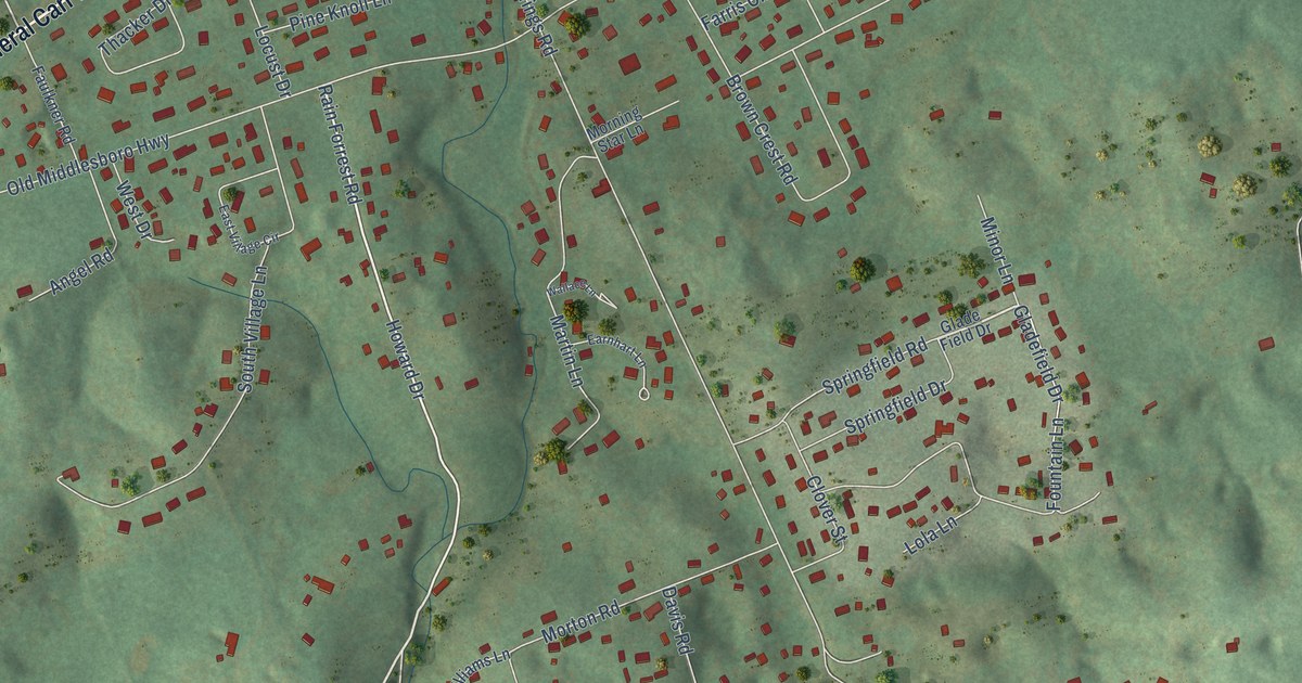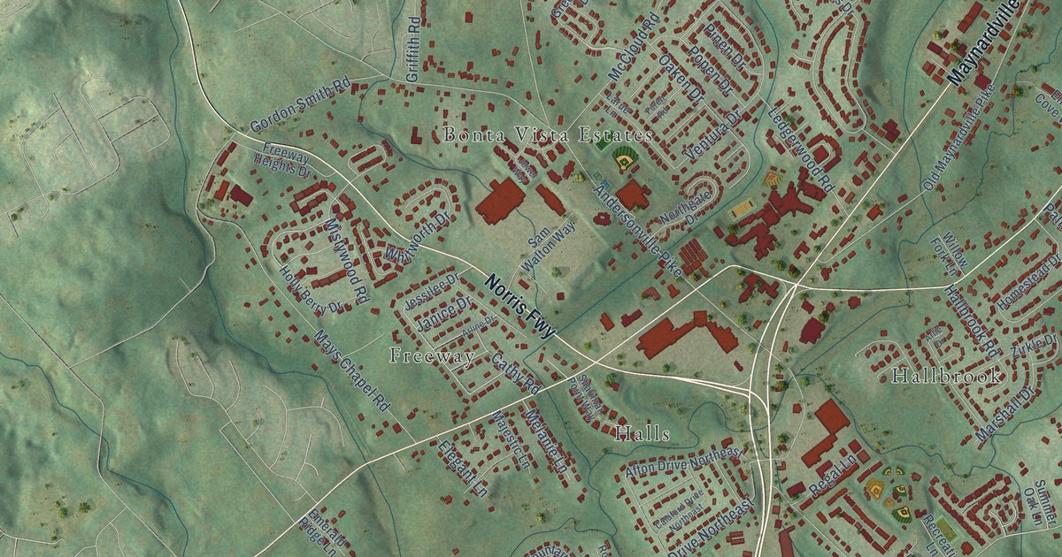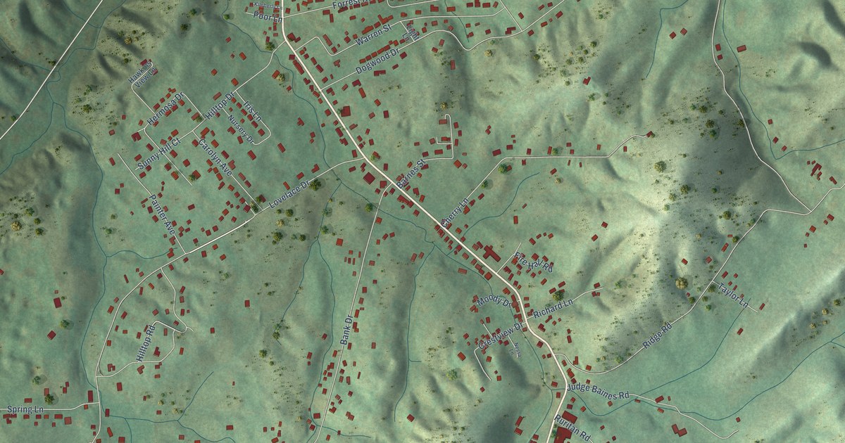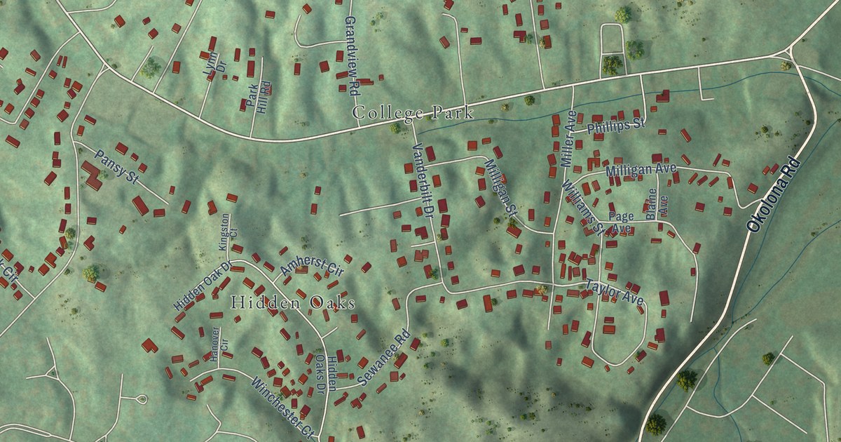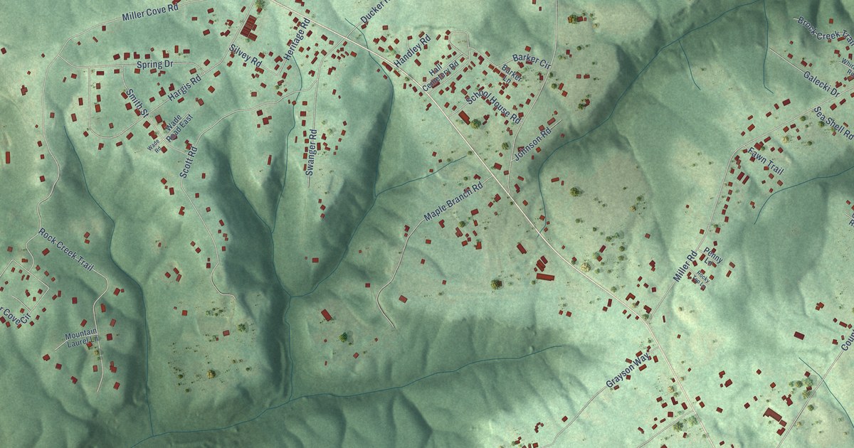
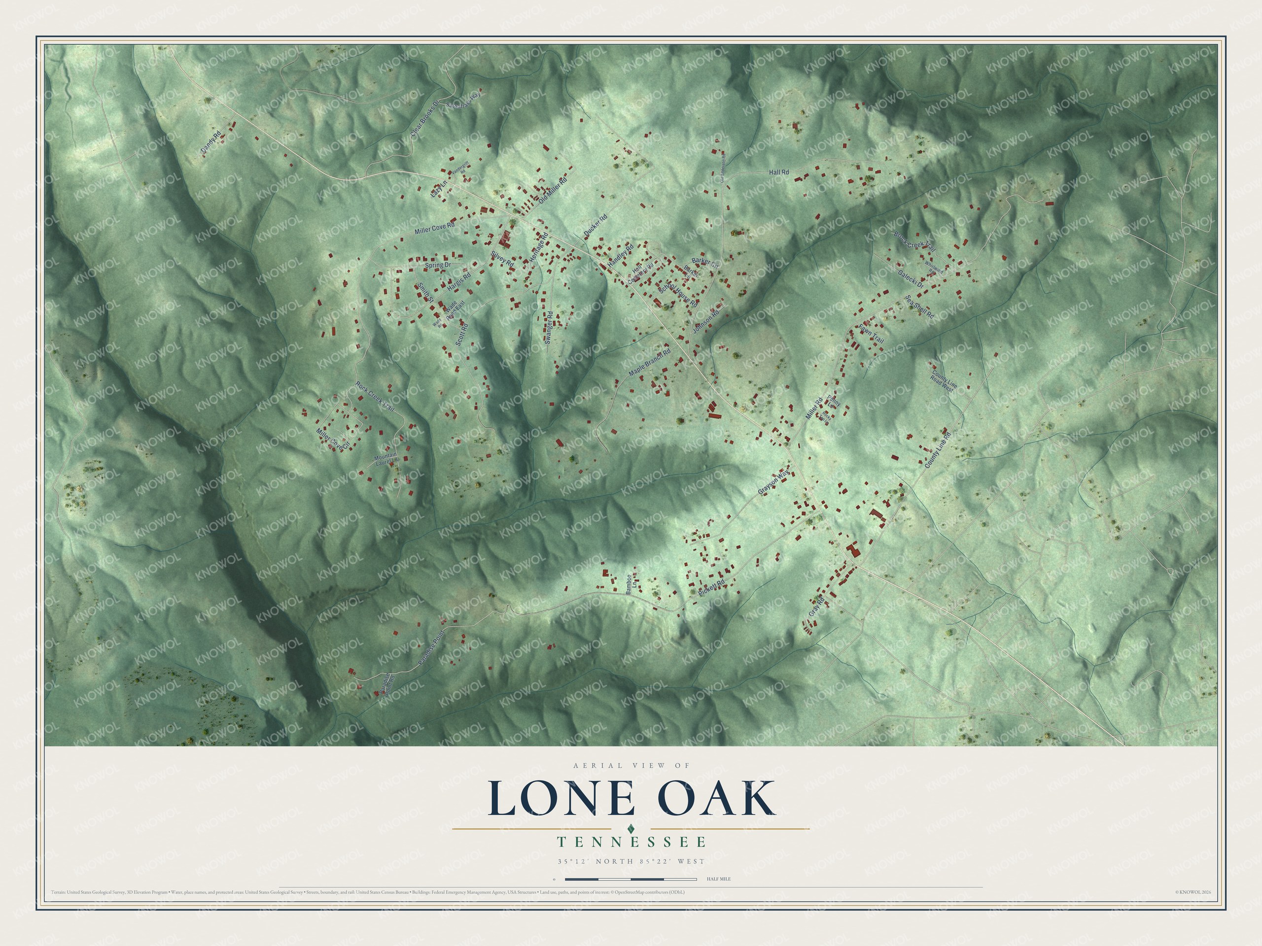
This beautifully detailed map of Lone Oak, Tennessee was created in 2026 using aerial imagery combined with modern topographical, census, street and landmark data. It's a modern aerial view of Lone Oak in Sequatchie County, Tennessee, that combines modern data with a vintage aesthetic. The roads feature printed names, and if you look closely you can find your exact house accurately shown in its correct location.
Explore an aerial view of Lone Oak, Tennessee
On this map you'll find Pickett Road, Miller Road, Hall Road, Miller Cove Road, County Line Road, Scott Road, Hargis Road, Ducker Road, Maple Branch Road, Rock Creek Trail, Grayson Way, Miller Cove Circle, and more. Each red shape is a building, so zoom in on the preview and look for yours.
Every town has a first chapter, and Lone Oak is no exception. The Tennessee County History Series puts it this way: "Lone Oak is in the eastern mountains of Sequatchie County, on Walden Ridge about 15 miles from Dunlap near the Hamilton County line. The area was originally opened to white settlement in 1823, but very few families moved to it before 1838."
Lone Oak is a place in Sequatchie County. The Census Bureau counted 1,198 people here in 2020.
Take a closer look at the Lone Oak map
Names on this map
These names are printed on this map.
Streets and roads: Pickett Road, Miller Road, Hall Road, Miller Cove Road, County Line Road, Scott Road, Hargis Road, Ducker Road, Maple Branch Road, Rock Creek Trail, Grayson Way, Miller Cove Circle.
More street names, A to Z
Bamboo Lane, Barker Circle, Barker Lane, Brock Creek Trail, Clear Brooks Drive, County Line Road West, Dandy Road, Fawn Trail, Galecki Drive, Gray Road, Hall Cemetery Road, Handley Road, Heritage Road, Johnson Road, Lazy Lane, Mountain Laurel Lane, Old Anderson Road, Old Miller Road, Paradise Point, Paradise Point Road, Penny Lane, Rocky Top Lane, Sassafrass Way, School House Road, Sea Shell Road, Silvey Road, Smith Street, Spring Drive, Swanger Road, Vandergriff Road, Wade Road, Wade Road East, Whirlwind Road.
Created by KNOWOL in 2026. The buildings are small red shapes, the roads carry their printed names, and shaded relief shows the shape of the land. The title panel reads "AERIAL VIEW OF LONE OAK TENNESSEE" with 35°12' NORTH 85°22' WEST.
Hang it in the hallway, the office or the cabin, or give it to someone who left Lone Oak and still calls it home. Open the preview and look for a street you know. See sizes and frames for the Lone Oak map.