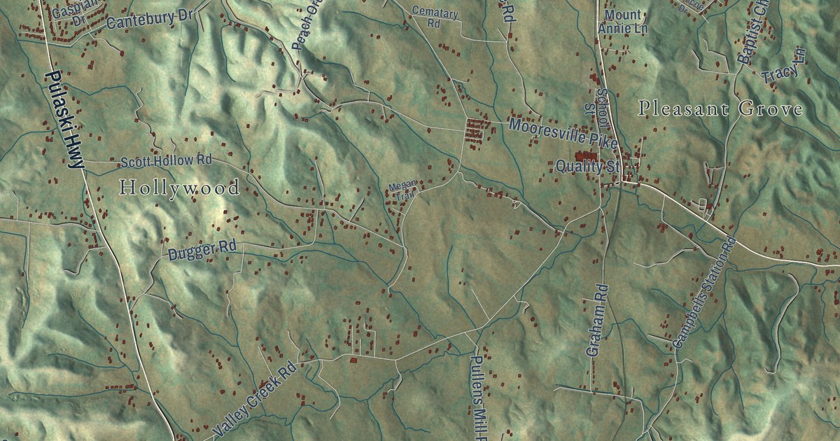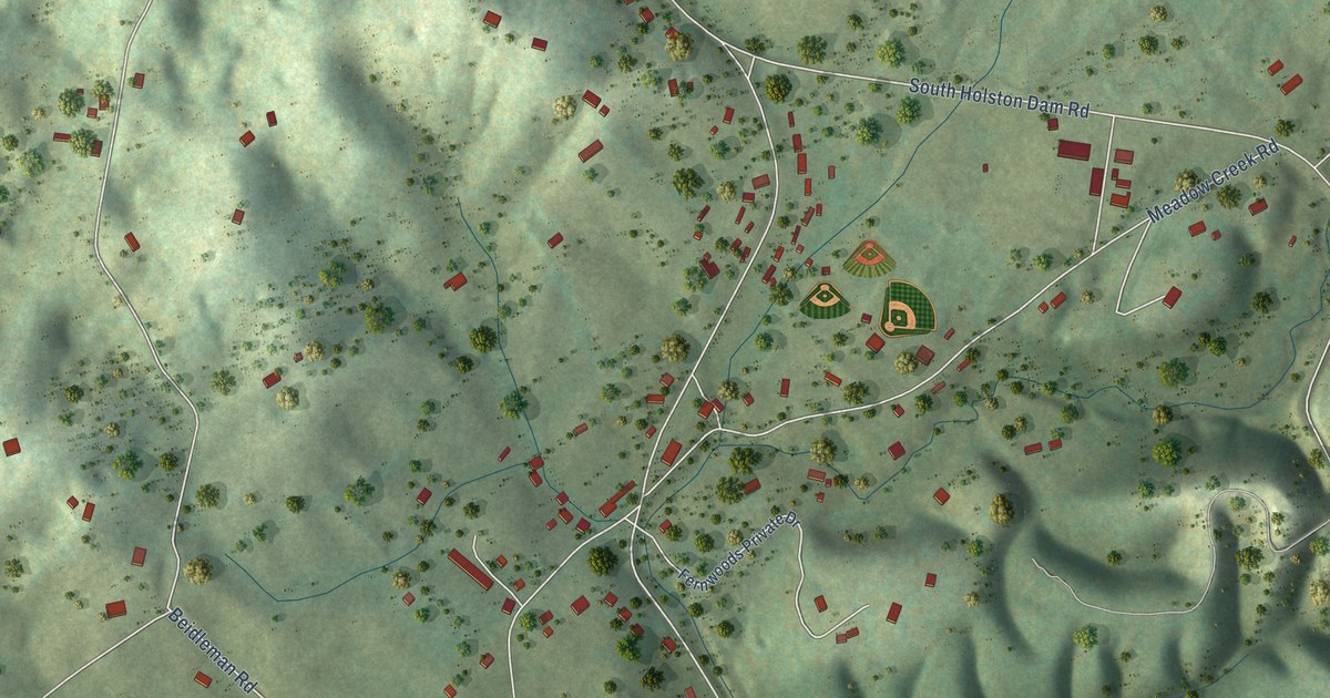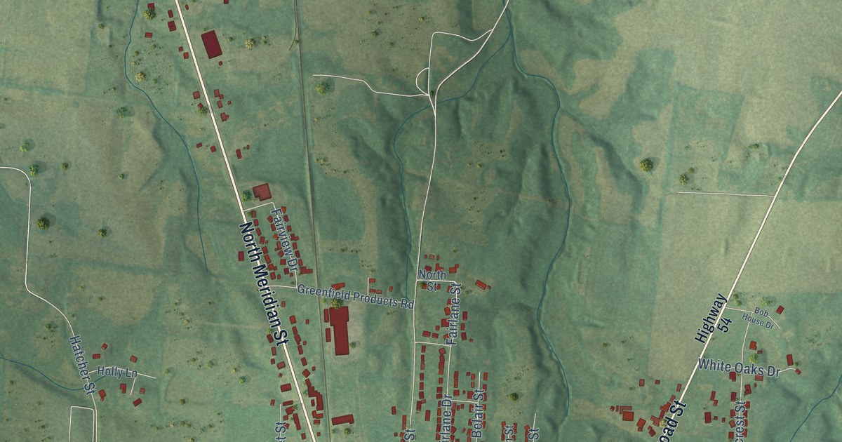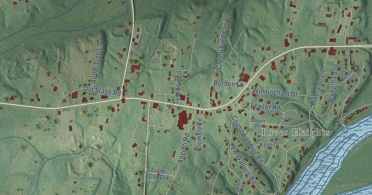
This beautifully detailed map of Crump, Tennessee was created in 2026 using aerial imagery combined with modern topographical, census, street and landmark data. It’s a one-of-a-kind view of Crump that combines accurate data with a vintage aesthetic. The map shows every building in its true location, many of the roads carry their names, and the shaded topographic relief shows the shape of the land.
Explore an aerial view of Crump, Tennessee
On the map you’ll find River Heights, along with Seaton Loop, Riverside Lane, Catfish Lane, Angotti Road, Old Morris Chapel Road, Crump Landing Road, Plunk Road, Lew Wallace Road, Reaves Lane, Asher Loop, Seay Road, and more. If you look closely you can even find your house accurately drawn in its correct location. Zoom in on the preview to look for yours.
Did you know this piece of Crump, Tennessee history?
Crump-born Dewey Phillips became a pioneering rock-and-roll disc jockey in Memphis. In 1954, he was the first DJ to broadcast Elvis Presley’s debut single That’s All Right.
Take a closer look at the Crump map
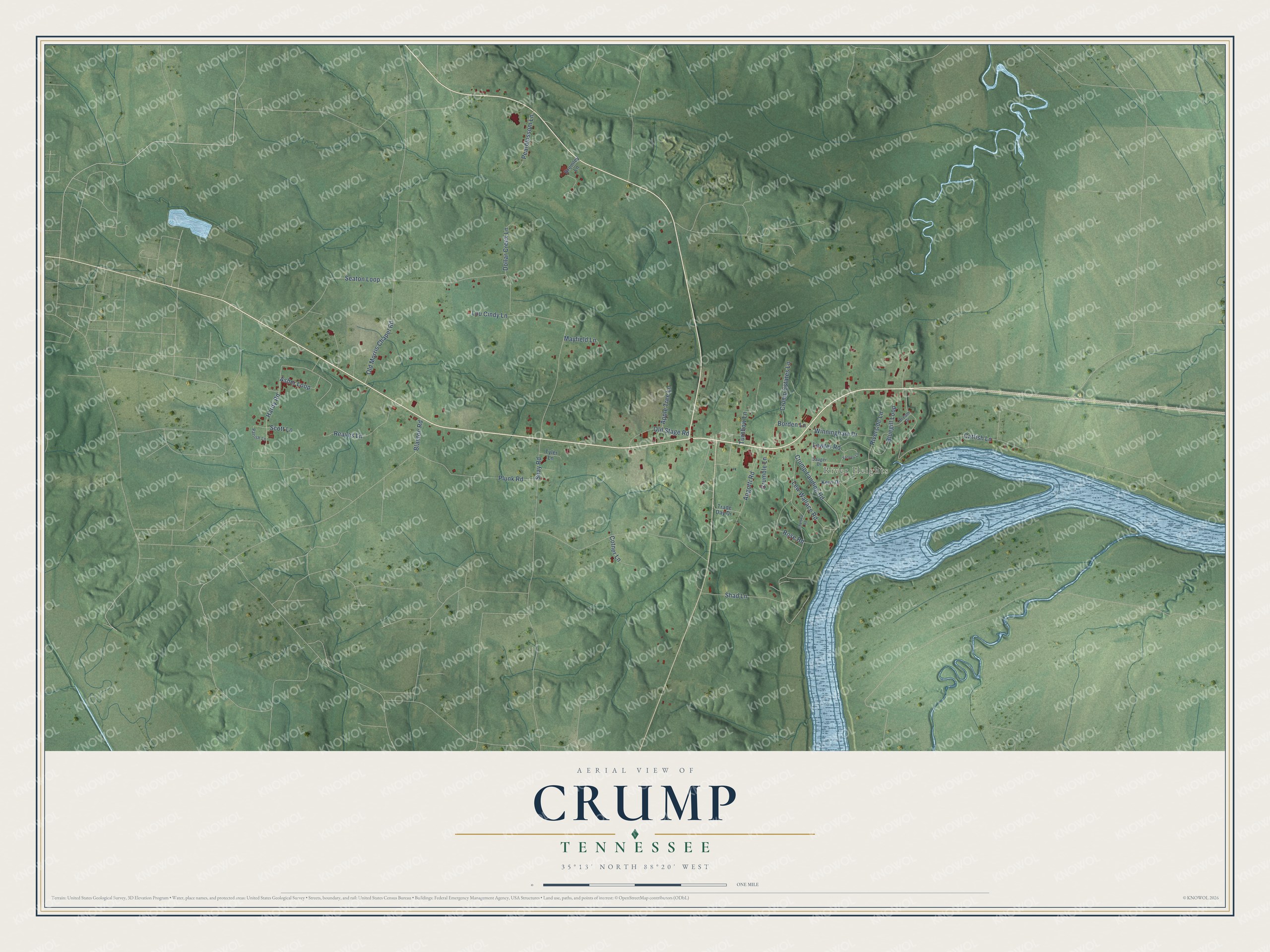
Street and place names on the Crump, Tennessee map
These names are printed on the map of Crump, Tennessee.
Places: River Heights.
Streets and roads: Seaton Loop, Riverside Lane, Catfish Lane, Angotti Road, Old Morris Chapel Road, Crump Landing Road, Plunk Road, Lew Wallace Road, Reaves Lane, Asher Loop, Seay Road, Shad Lane.
More street names, A to Z
Apple Tree Lane, Blanton Road, Bluegill Loop, Borden Lane, Bream Drive, Bromley Lane, Chelsea Road, Cotner Lane, Crumble Lane, Crump Estates Lane, Dollar Creek Lane, Hardy Road, Kerri Drive, Lewter Road, Lou Cindy Lane, Mayfield Lane, Old Stage Road, Parrish Lane, Pearblossom Lane, Rose Road, Sauger Drive, Scott Lane, Trade Day Drive, Turnbow Lane, Tyler Lane, Winningham Drive, Yancey Lane.
See the Crump, Tennessee map on a wall
The Crump map as an 18 x 24 inch print in a black frame.

This beautifully detailed map of Crump makes an attractive addition to your office, library, or den, and it can even be used to teach children the geography and history of the area. It also makes a great gift for anyone who grew up in Crump or moved away. When you’re done exploring, click here to get your copy of the Crump map.