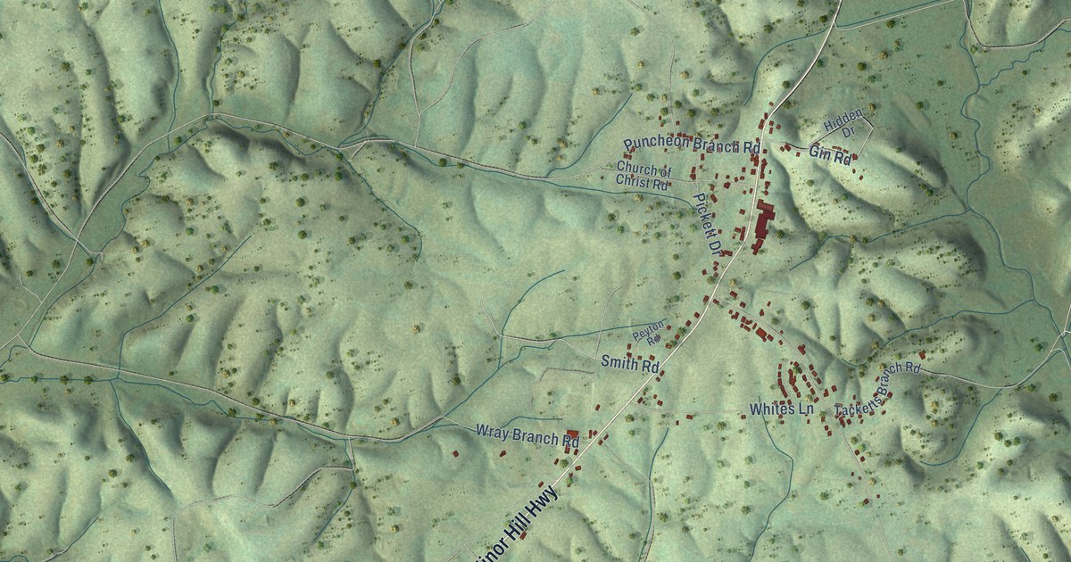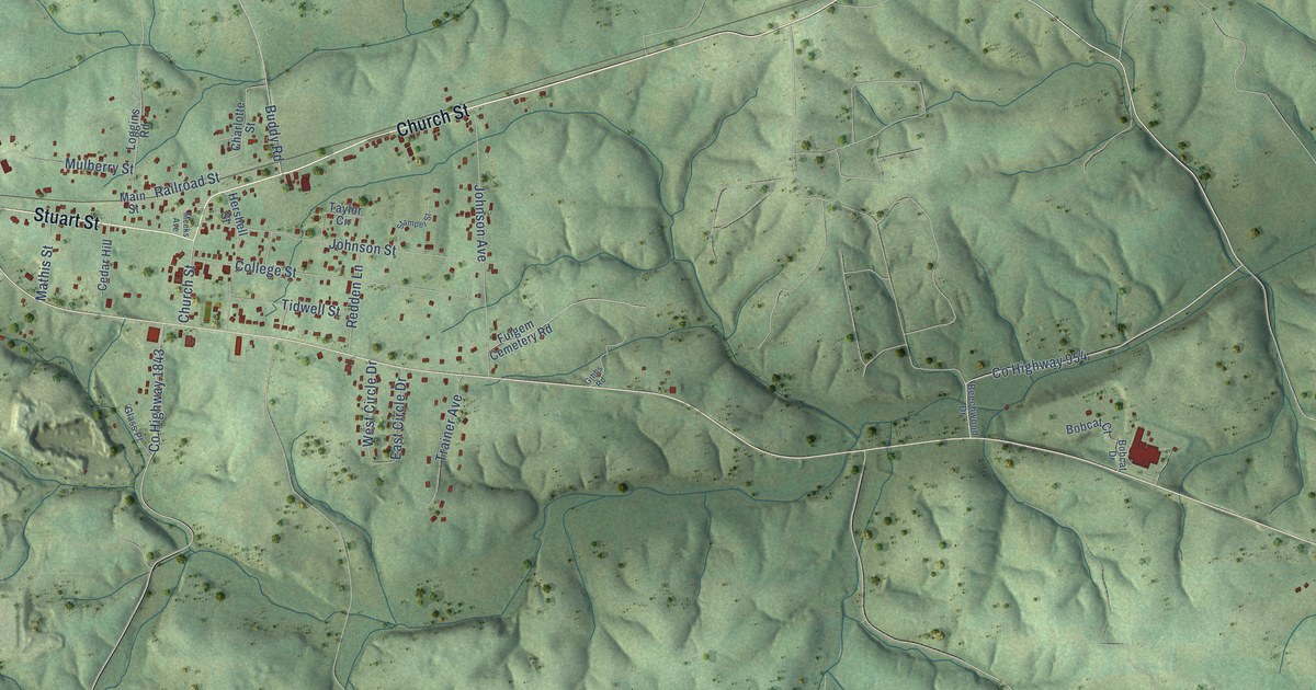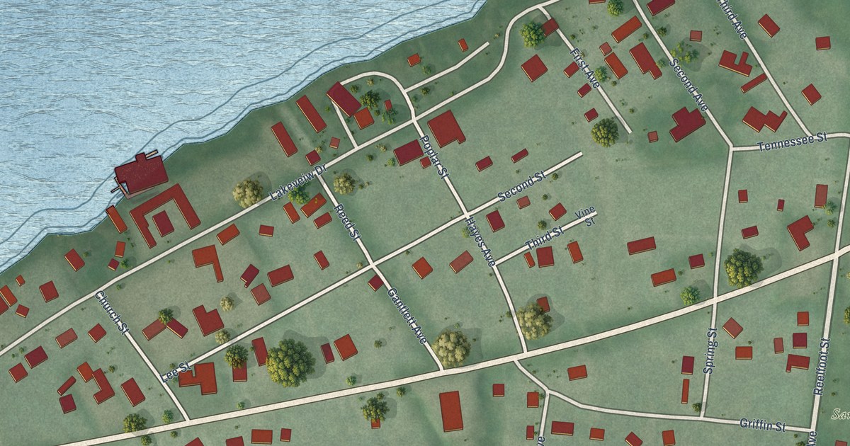
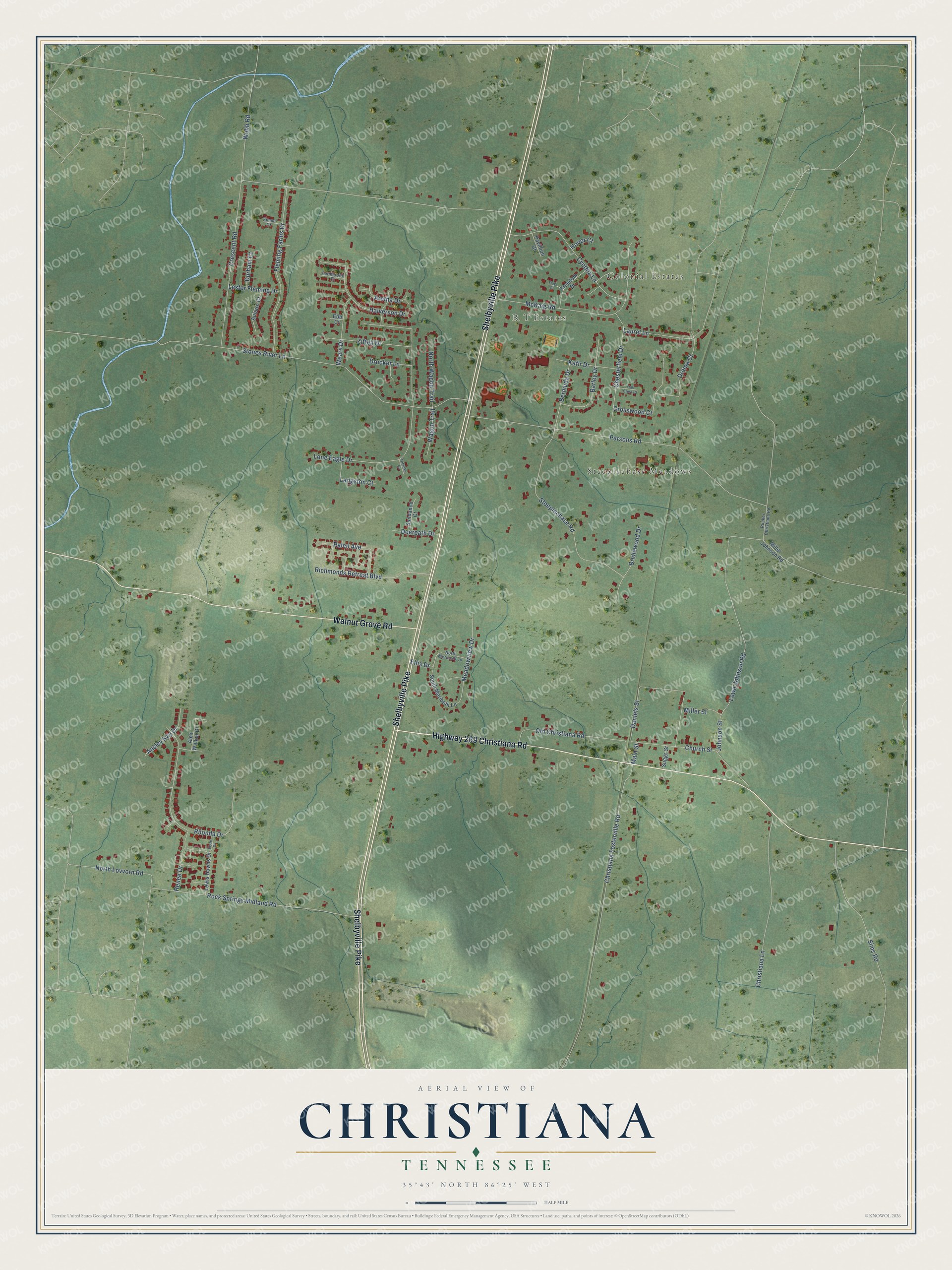
This beautifully detailed map of Christiana, Tennessee was created in 2026 using aerial imagery combined with modern topographical, census, street and landmark data. It's a modern aerial view of Christiana in Rutherford County, Tennessee, that combines modern data with a vintage aesthetic. The roads feature printed names, and if you look closely you can find your exact house accurately shown in its correct location.
Explore an aerial view of Christiana, Tennessee
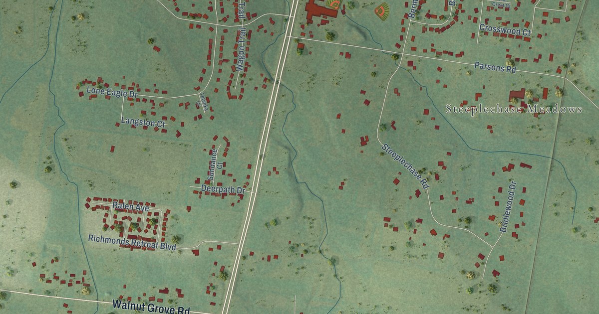
On this map you'll find Colonial Estates, R T Estates, Steeplechase Meadows, Shelbyville Pike, Highway 269 Christiana Road, Walnut Grove Road, Crescent Road, Stones River Lane, Parsons Road, Lone Eagle Drive, Christiana Fosterville Road, Lowe Johnson Road, and more. Each red shape is a building, so zoom in on the preview and look for yours.
Every town has a first chapter, and Christiana is no exception. The Internet Archive puts it this way: "Christiana lies on
the east side of the railroad ten miles from Murfreesboro."
Christiana is a place in Rutherford County. The Census Bureau counted 4,305 people here in 2020.
Take a closer look at the Christiana map
Names on this map
These names are printed on this map.
Places: Colonial Estates, R T Estates and Steeplechase Meadows.
Streets and roads: Shelbyville Pike, Highway 269 Christiana Road, Walnut Grove Road, Crescent Road, Stones River Lane, Parsons Road, Lone Eagle Drive, Christiana Fosterville Road, Lowe Johnson Road, Rock Springs Midland Road, Rhonda Drive, McKaig Road.
More street names, A to Z
Alex Walker Drive, Ansley Kay Drive, Aretha Drive, Auburn Court, Barley Drive, Bermuda Drive, Bridlewood Drive, Chesterfield Drive, Christiana Lane, Church Street, Crosswood Court, Cynthia Lane, Daniels Street, Deerpath Drive, Drema Court, Drucker Lane, Durham Court, Ebb Court, Ellis Drive, Elyse Drive, Emma Court, Farmbrook Court, Flag Court, Fleming Farms Drive, Freedom Drive, Halverson Drive, Honor Court, Johnson Street, Kafir Drive, Langston Court, Laurel Lane, Lester Fleming Drive, Lewis Downs Drive, Main Street, Meadowview Drive, Miller Johnson Road, Miller Street, North Lovvorn Road, North Meribeth Lane, North Wagon Trail, Oak Crest Court, Old Christiana Road, Pavillion Court, Ralen Avenue, Renee Drive, Richmonds Retreat Boulevard, Rucker Christiana Road, Sims Road, South Meribeth Lane, Steeplechase Road, Suggs Street, Sundance Court, Tetanka Court, Wagon Trail, Wears Drive, Webb Road, Ziffell Drive.
Created by KNOWOL in 2026. The buildings are small red shapes, the roads carry their printed names, and shaded relief shows the shape of the land. The title panel reads "AERIAL VIEW OF CHRISTIANA TENNESSEE" with 35°43' NORTH 86°25' WEST.
Hang it in the hallway, the office or the cabin, or give it to someone who left Christiana and still calls it home. Open the preview and look for a street you know. See sizes and frames for the Christiana map.