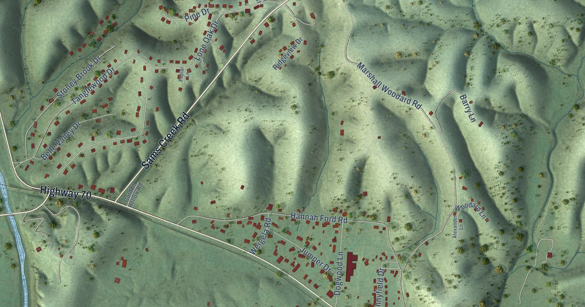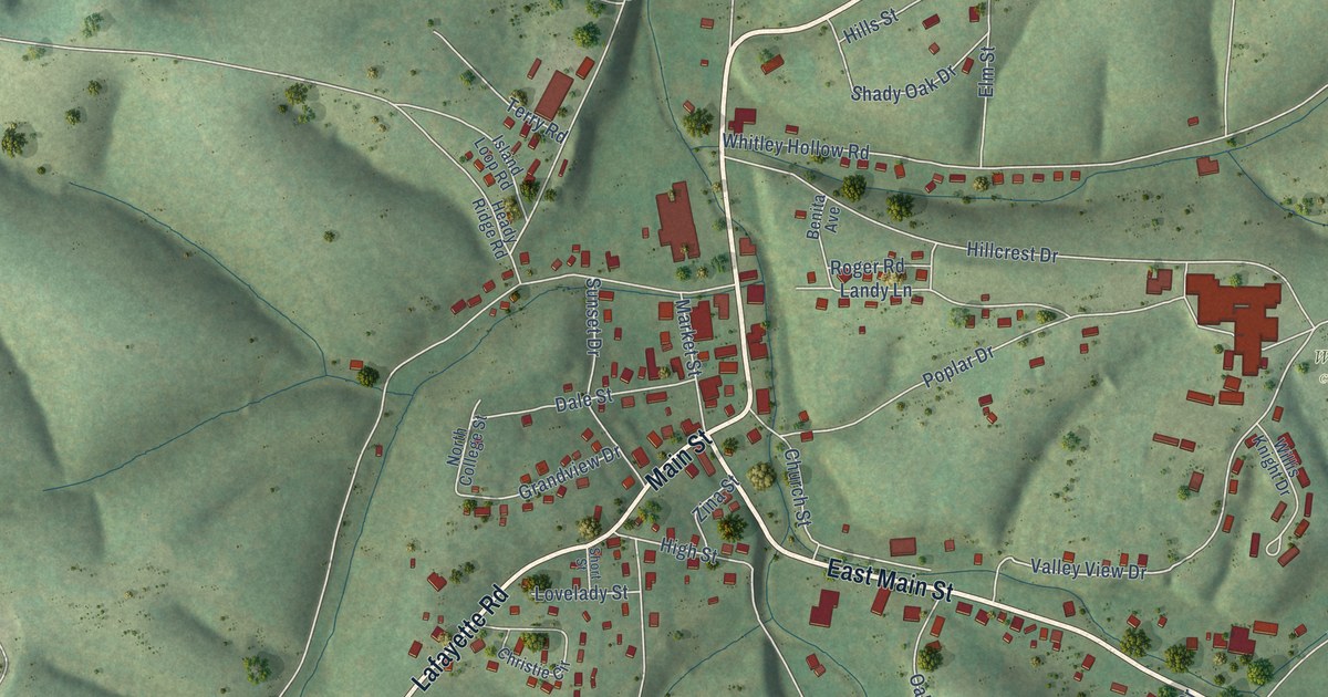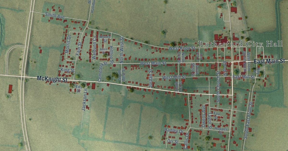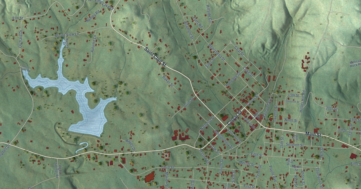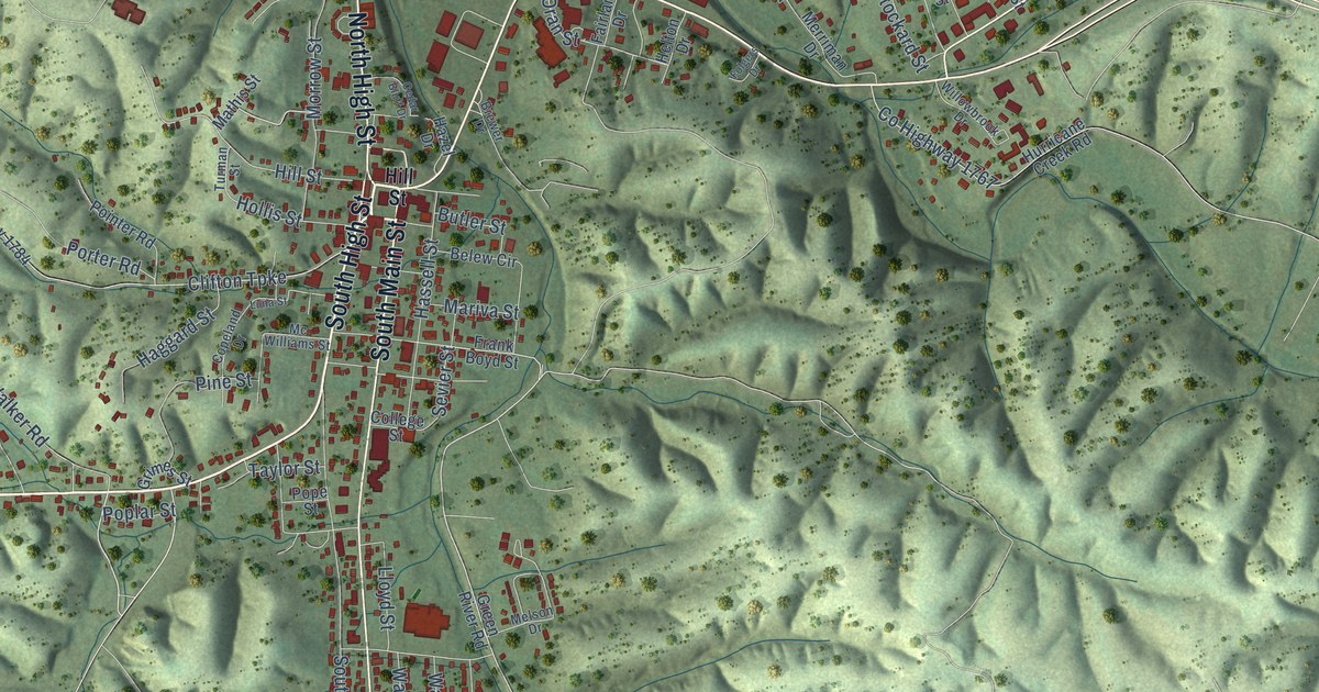
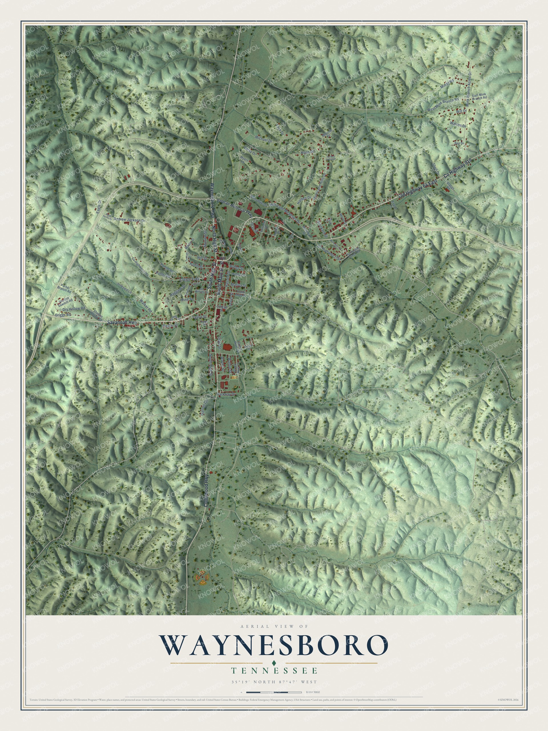
This beautifully detailed map of Waynesboro, Tennessee was created in 2026 using aerial imagery combined with modern topographical, census, street and landmark data. It's a modern aerial view of Waynesboro in Wayne County, Tennessee, that combines modern data with a vintage aesthetic. The roads feature printed names, and if you look closely you can find your exact house accurately shown in its correct location.
Explore an aerial view of Waynesboro, Tennessee
On this map you'll find Savannah Highway, South Main Street, South High Street, North High Street, Collinwood Highway, Co Highway 919, Old Highway 64 East, Waynesboro Highway, Oran Street, Betsy Drive, Hurricane Hills Drive, Sevier Street, and more. Each red shape is a building, so zoom in on the preview and look for yours.
Every town has a first chapter, and Waynesboro is no exception. The Tennessee Encyclopedia puts it this way: "In 1821 the general assembly appointed commissioners James Hollis, John Hill, Nathan Biffle, and Charles Burns to establish a county seat. The men purchased 40 acres from William Burns for the town of Waynesboro."
Waynesboro is a city in Wayne County. The Census Bureau counted 2,317 people here in 2020.
Take a closer look at the Waynesboro map
Names on this map
These names are printed on this map.
Streets and roads: Savannah Highway, South Main Street, South High Street, North High Street, Collinwood Highway, County Highway 919, Old Highway 64 East, Waynesboro Highway, Oran Street, Betsy Drive, Hurricane Hills Drive, Sevier Street.
More street names, A to Z
Andrew Jackson Drive, Belew Circle, Ben Drive, Brewer Drive, Butler Street, Cedar Bluff Drive, Clifton Turnpike, College Street, Copeland Drive, County Highway 1767, County Highway 1784, Donohue Drive, Dry Hollow Road, Eagle Drive, East Mink Branch Road, Evans Lane, Fairlane Drive, Faye Drive, Folgers Drive, Frank Boyd Street, Gallian Circle, Green River Drive, Green River Road, Griggs Road, Grimes Street, Haggard Street, Harden Drive, Hassell Street, Hazel Drive, Helton Drive, Herbert Gallian Drive, Hill Street, Hollis Street, Hope Drive, Hurricane Creek Road, Hurricane Meadows Drive, Junkyard Lane, Lloyd Street, Luna Street, Mariva Street, Mathis Street, Mc Williams Street, Melonie Drive, Melson Drive, Merriman Drive, Michael Drive, Mindy Road, Mink Branch Acres Drive, Moore Street, Morrow Street, Myers Lane, Parker Branch Road, Parkway Drive, Pine Street, Pointer Road, Pope Street, Poplar Street, Porter Road, Ralph Horton Drive, Shell Drive, Shelton Hollow Road, Skelton Sawmill Road, Staggs Road, Stockard Street, Taylor Street, Turman Street, Veteran Memorial Parkway, Walker Road, Walnut Street, Warren Drive, Wayne Street, West Mink Branch Road, Will Drive, Willowbrook Drive, York Street.
Created by KNOWOL in 2026. The buildings are small red shapes, the roads carry their printed names, and shaded relief shows the shape of the land. The title panel reads "AERIAL VIEW OF WAYNESBORO TENNESSEE" with 35°19' NORTH 87°47' WEST.
Hang it in the hallway, the office or the cabin, or give it to someone who left Waynesboro and still calls it home. Open the preview and look for a street you know. See sizes and frames for the Waynesboro map.