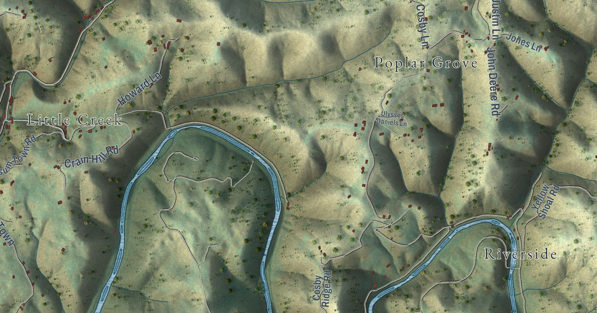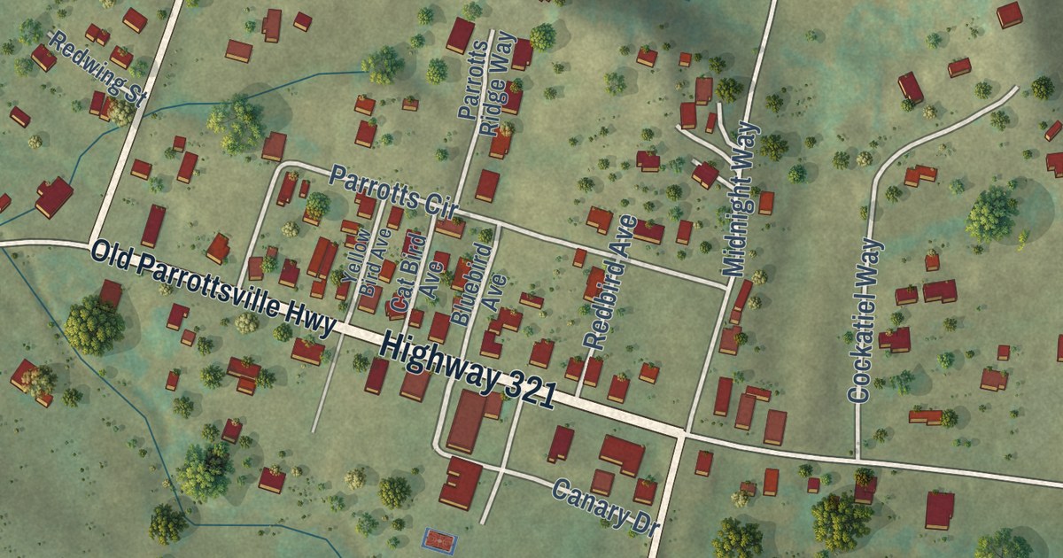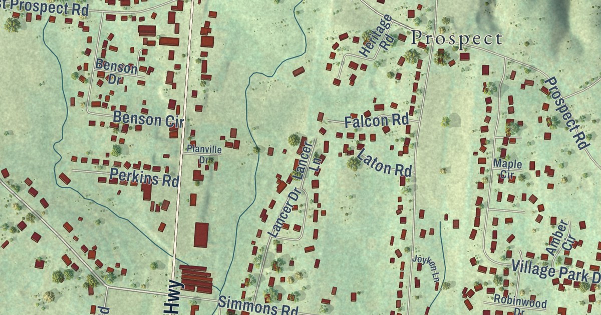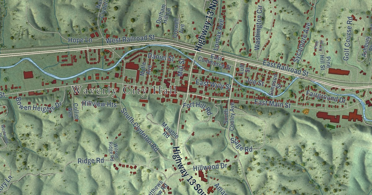
This beautifully detailed map of Waverly, Tennessee was created in 2026 using aerial imagery combined with modern topographical, census, street and landmark data. It’s a one-of-a-kind view of Waverly that combines accurate data with a vintage aesthetic. The map shows every building in its true location, many of the roads carry their names, and the shaded topographic relief shows the shape of the land.
Explore an aerial view of Waverly, Tennessee
On the map you’ll find Waverly City Hall and Hopkins Crossing, along with Highway 70 West, East Main Street, Highway 13 North, Highway 13 South, West Main Street, Powers Boulevard, East Railroad Street, Airport Road, West Trace Creek Road, Ridge Road, and more. If you look closely you can even find your house accurately drawn in its correct location. Zoom in on the preview to look for yours.
Did you know this about Waverly, Tennessee?
From Tennesseeencyclopedia.net: "Rosecrans ordered the completion of the railroad from White Bluff to Johnsonville and the stationing of Union troops along the railroad line at the Hurricane Creek stockade and at both Fort Hills in Waverly and Johnsonville."
Take a closer look at the Waverly map
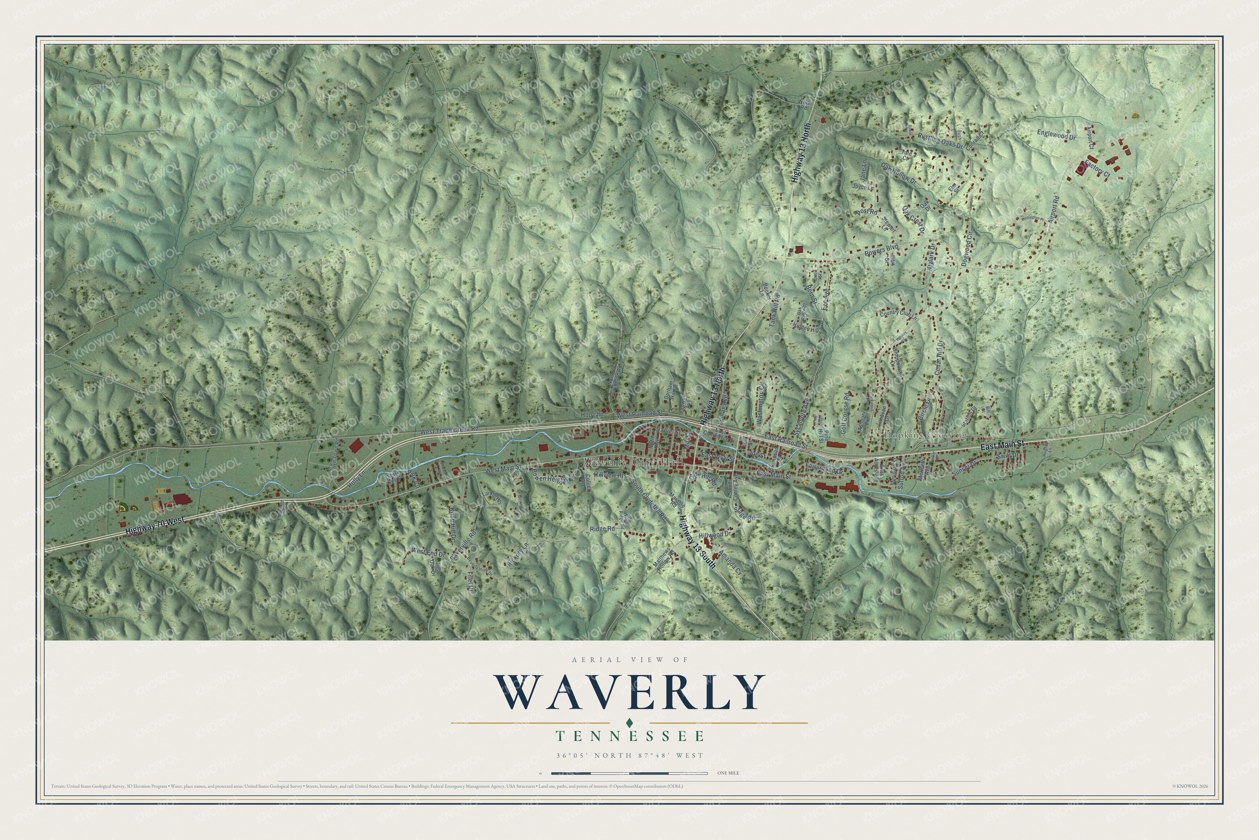
Street and place names on the Waverly, Tennessee map
These names are printed on the map of Waverly, Tennessee.
Places: Waverly City Hall, Hopkins Crossing and Pyramid Park.
Streets and roads: Highway 70 West, East Main Street, Highway 13 North, Highway 13 South, West Main Street, Powers Boulevard, East Railroad Street, Airport Road, West Trace Creek Road, Ridge Road, Dogwood Circle, Tank Hill Road.
More street names, A to Z
Airport Court, Amanda Cv, Ashbury Pk, Bakerville Road, Bern Street, Beverly Hills Drive, Bill Court, Booker Lane, Bowen Heights Drive, Brown Town Road, Bush Court, Cedar Hill Drive, Cherry Tree Drive, Circle Drive, Collier Avenue, Conrad Court, Country Club Lane, Crete Street, Crowell Avenue, Daniel Street, Durham Hill Lane, Dylark Drive, East Acres Avenue, East Commerce Street, East Wyly Street, Elm Street, Englewood Drive, Eze Avenue, Factory Court, Fairground Drive, Fort Hill Road, Friel Drive, Golf Course Road, Hart Drive, Hickory Lane, Hidden Hills Drive, Hillhaven Drive, Hillview Heights, Hillwood Drive, Holly Lane, Hope Lane, Hughey Lane, Jane Lane, Joe Street, Joyce Lane, Knob Hill Drive, Larkin Heights, Lomax Avenue, Luff Street, Marable Road, Matthews Hollow Road, Meridale Street, Merideth Avenue, Mill Street, Mytle Avenue, North Clydeton Road, Oak Crest Drive, Oak Drive, Oak Hollow Drive, Oak Ridge Drive, Park Circle, Parker Drive, Parkwood Avenue, Pine Hill Drive, Pine Hill Street, Post Road, Powers Plaza, Red Oak Drive, Rustling Oaks Drive, Sherwood Drive, Simpson Street, South Clydeton Road, South Cooley Avenue, Spann Court, Stage Road, Station Drive, Stewart Lane, Sunset Drive, Sutton Avenue, Swift Drive, Sycamore Avenue, Tate Court, Ulcer Hollow Road, Washington Circle, Wellington Place, West End Drive, West Railroad Street, Westwood Drive, Whippoorwill Drive, Wilson Ridge Road, Work Road.
See the Waverly, Tennessee map on a wall
The Waverly map as an 18 x 24 inch print in a black frame.

This beautifully detailed map of Waverly makes an attractive addition to your office, library, or den, and it can even be used to teach children the geography and history of the area. It also makes a great gift for someone who left Waverly and still calls it home. When you’re done exploring, click here to get your copy of the Waverly map.