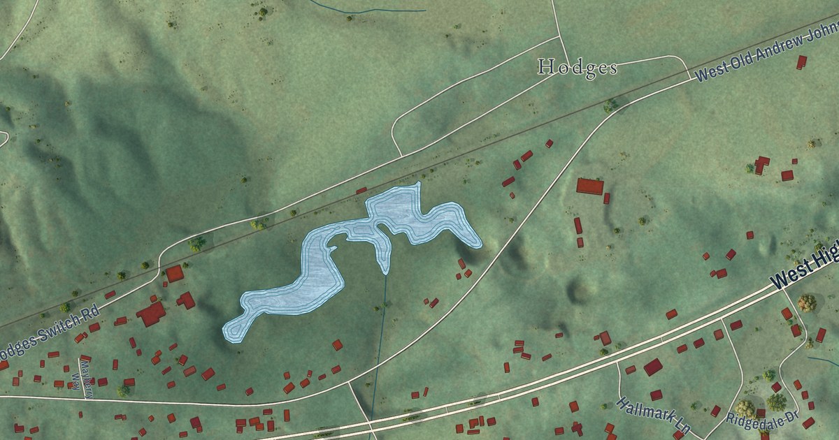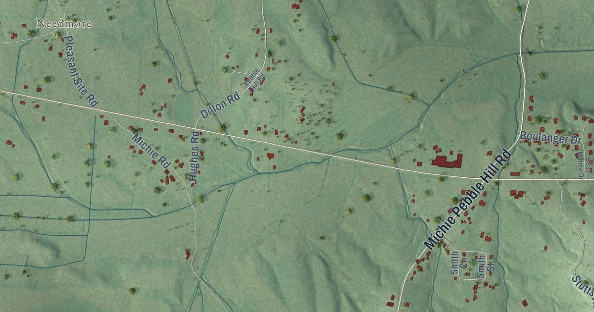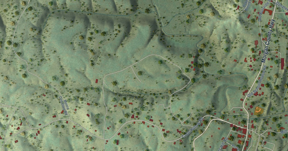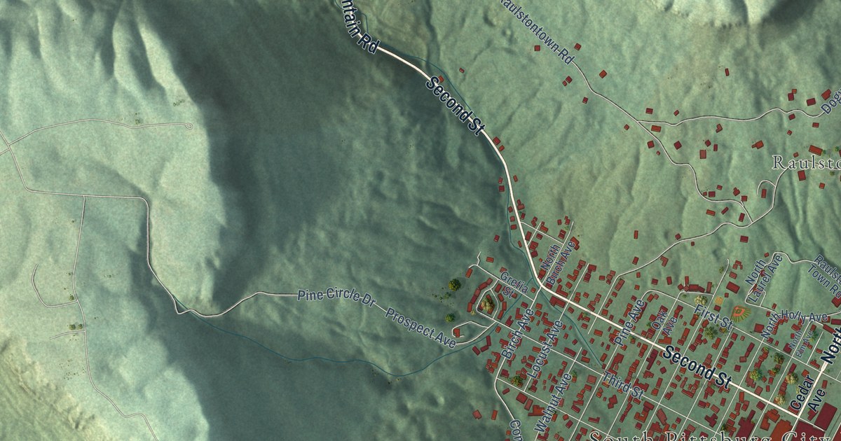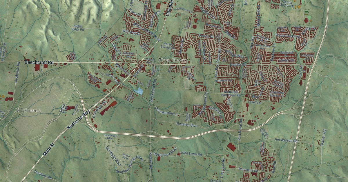
This beautifully detailed map of Spring Hill, Tennessee was created in 2026 using aerial imagery combined with modern topographical, census, street and landmark data. It’s a one-of-a-kind view of Spring Hill that combines accurate data with a vintage aesthetic. The map shows every building in its true location, many of the roads carry their names, and the shaded topographic relief shows the shape of the land.
Explore an aerial view of Spring Hill, Tennessee
On the map you’ll find Kleburne, Kedron, and New Town, along with Main Street, Nashville Highway, Beechcroft Road, Columbia Pike, Station Loop, Denning Road, Cleaborne Road, Kedron Road, Buckner Lane, and more. If you look closely you can even find your house accurately drawn in its correct location. Zoom in on the preview to look for yours.
Did you know this piece of Spring Hill, Tennessee history?
From the Historical Marker Database: "The area on which most of the town of Spring Hill is located was originally part of land grants to three Revolutionary War veterans, George Doherty, John Hardin and Ezekiel Polk."
Take a closer look at the Spring Hill map
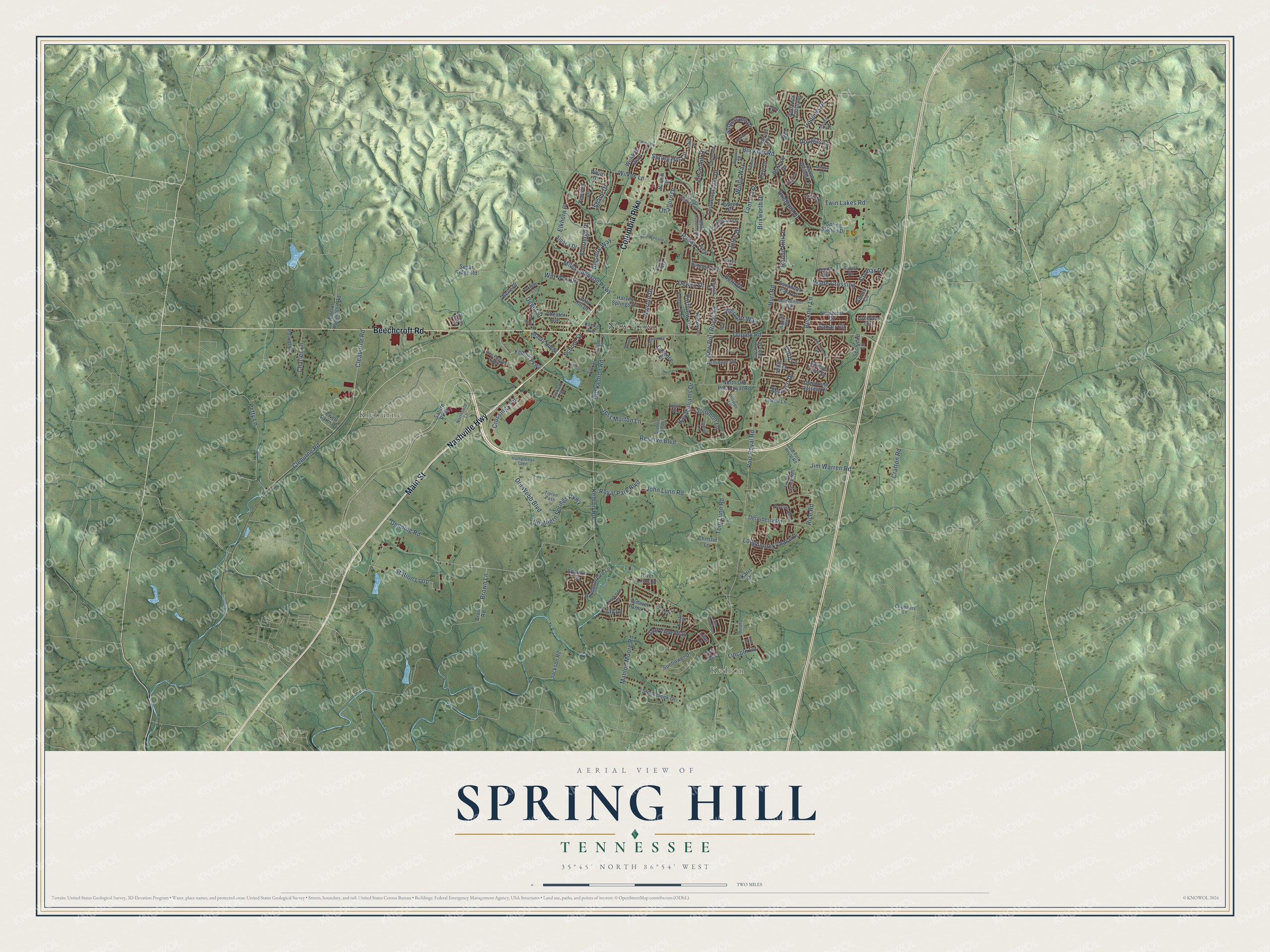
Street and place names on the Spring Hill, Tennessee map
These names are printed on the map of Spring Hill, Tennessee.
Places: Kleburne, Kedron and New Town.
Streets and roads: Main Street, Nashville Highway, Beechcroft Road, Columbia Pike, Station Loop, Denning Road, Cleaborne Road, Kedron Road, Buckner Lane, New Port Royal Road, Port Royal Road, Jim Warren Road.
More street names, A to Z
Achiever Circle, Adelaide Drive, Aenon Circle, Allerton Way, Alpaca Drive, Appian Way, Aston Woods Lane, Augustine Trail, Austin Drive, Baileys Trace Drive, Belle Drive, Belshire Way, Bern Drive, Beverly Court, Biggers Drive, Brisbane Drive, Brixworth Drive, Brown Lane, Brown Road, Bruce Drive, Buckner Road, Bunbury Drive, Burgess Lane, Burtonwood Drive, Cadence Drive, Campbell Station Parkway, Carlton Lane, Cash Court, Cashmere Drive, Chambers Lane, Chapmans Retreat Drive, Charles Lane, Chester Avenue, Christie Lane, Churchill Drive, Cleburne Road, Cochran Trace Drive, Commonwealth Drive, Crafton Road, Creekside Lane, Crossings Circle, Danes Drive, Daniel Lane, Deer Run Trce, Del Webb Boulevard, Depot Street, Derryberry Road, Dewey Drive, Doctor Robertson Road, Douglas Lane, Duplex Road, Elkhorn Place, Elm Street, Everleigh Place, Ewell Farm Drive, Faith Lane, Fenwick Lane, Fitzroy Circle, Foust Drive, Geneva Drive, Golden Court, Golf View Way, Greyfox Lane, Harrah Drive, Harvey Springs Drive, Hillside Lane, Hughes Street, Hummingbird Lane, Humphreys Glen, Hurt Road, Irish Way, Iroquois Circle, Iroquois Drive, Jackson Road, Jackson Street, Jay Lane, Jess Morton Lane, Joann Drive, John Lunn Road, Jutes Drive, Karis Drive, Kaye Drive, Kedron Parkway, Keene Circle, Kent Lane, Kristen Street, Kyle Road, Lantana Drive, Lilac Lane, Lincoln Road, Liverpool Drive, Locerbie Circle, Locke Avenue, Longhunter Chase Drive, Loudenslager Drive, Lovell Lane, Mahlon Moore Road, Malevenfum Way, Maury Hill Street, Miles Johnson Parkway, Monoco Drive, Morton Drive, Nealcrest Circle, Neeleys Bend, Northfield Lane, North Old Port Royal Road, Ohallorn Drive, Old Kedron Road, Old Port Royal Road, Paddy Trce, Patriot Drive, Petty Lane, Portview Drive, Portway Road, Prescott Way, Rachel Lane, Ray Williams Drive, Red Pepper Ridge, Reserve Boulevard, Rice Road, River Links Drive, Romain Trail, Round Hill Lane, Royal Park Boulevard, Saint Hubbins Drive, Sakari Circle, Sanmar Drive, Saturn Parkway, Savannah Park Drive, Saybrook Crossing, School Street, Scotten, Secluded Lane, Shane Drive, Solomon Lane, Southern Springs Parkway, Sparrow Street, Spring Hill Circle, Spring Station Drive, Station Hill Drive, Stonecreek Drive, Sugar Ridge Road, Sunflower Drive, Sutherland Drive, Tellico Drive, Timber Valley Way, Tipton Pass, Tom Lunn Road, Trenton Drive, Tweed Place, Twin Lakes Road, Vanguard Court, Wade Crossing, Weaver Farm Lane, Weston Lane, Whitt Drive, Wilkes Lane, Williford Court, Williford Way, Wills Court, Windy Way, Witt Hill Drive, Witt Way Drive, Wrights Mill Road.
See the Spring Hill, Tennessee map on a wall
The Spring Hill map as an 18 x 24 inch print in a black frame.

This beautifully detailed map of Spring Hill makes an attractive addition to your office, library, or den, and it can even be used to teach children the geography and history of the area. It also makes a great gift for anyone with Spring Hill roots. When you’re done exploring, click here to get your copy of the Spring Hill map.