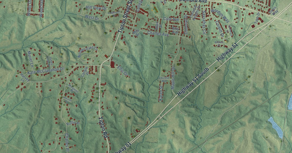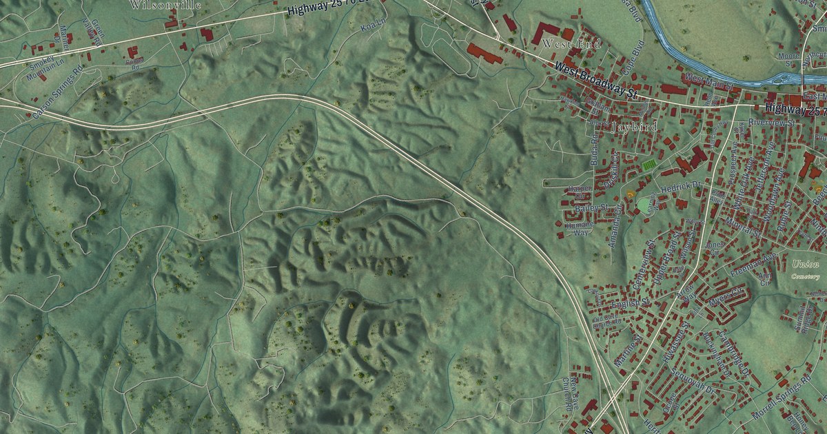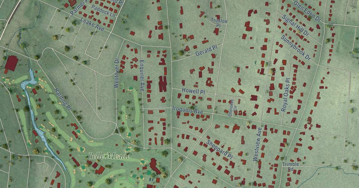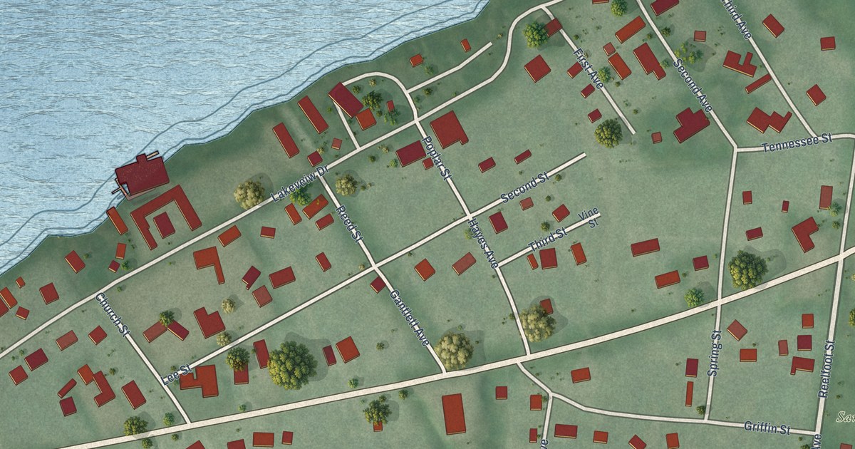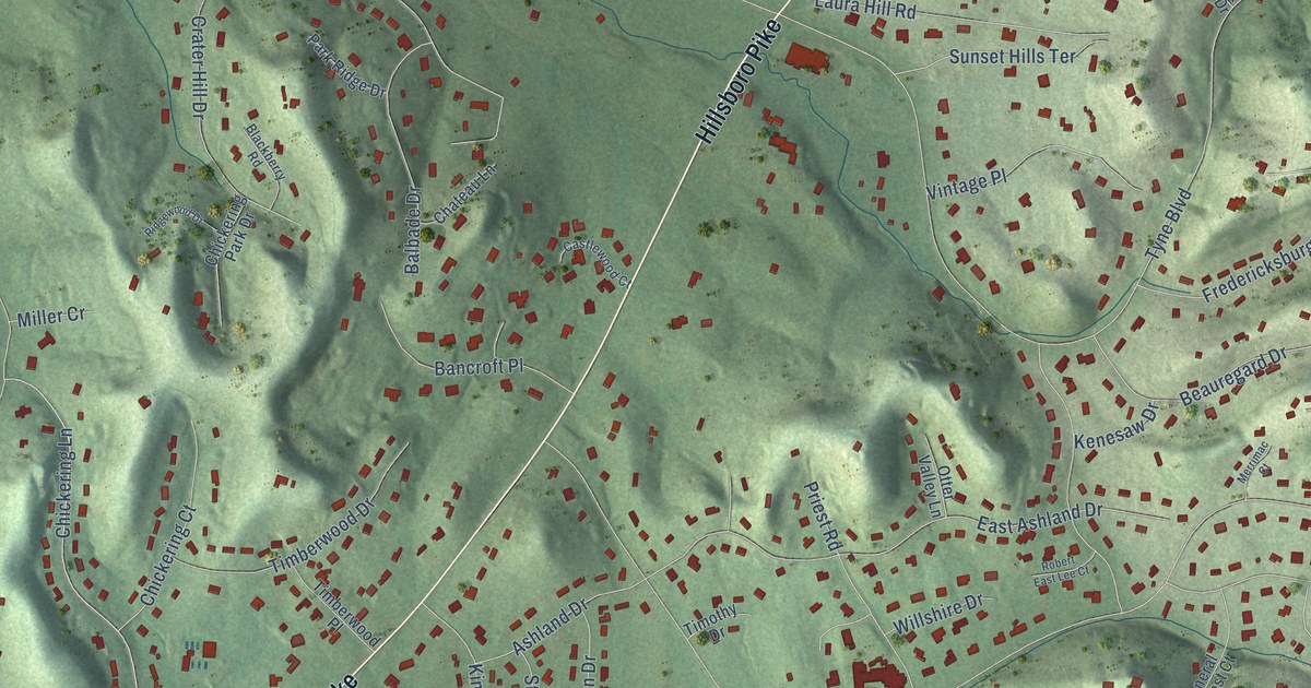
This beautifully detailed map of Forest Hills, Tennessee was created in 2026 using aerial imagery combined with modern topographical, census, street and landmark data. It's a modern aerial view of Forest Hills in Davidson County, Tennessee, that combines modern data with a vintage aesthetic. The roads feature printed names, and if you look closely you can find your exact house accurately shown in its correct location.
Explore an aerial view of Forest Hills, Tennessee
On this map you'll find City of Forest Hills Town Hall, Richland Country Club, Hillsboro Pike, Old Hickory Boulevard, Granny White Pike, Harding Place, Chickering Lane, Tyne Boulevard, Otter Creek Road, Chickering Road, Kingsbury Drive, Annandale, and more. Each red shape is a building, so zoom in on the preview and look for yours.
Forest Hills has a story worth telling. The National Register of Historic Places puts it this way: "Forest Hills was incorporated in 1957 and took its name at that time to reflect the surrounding landscape. The city covers approximately 9.47 square miles, and in 2000 had a population of 4,710 residents."
Forest Hills is a city in Davidson County. The Census Bureau counted 5,038 people here in 2020.
Take a closer look at the Forest Hills map
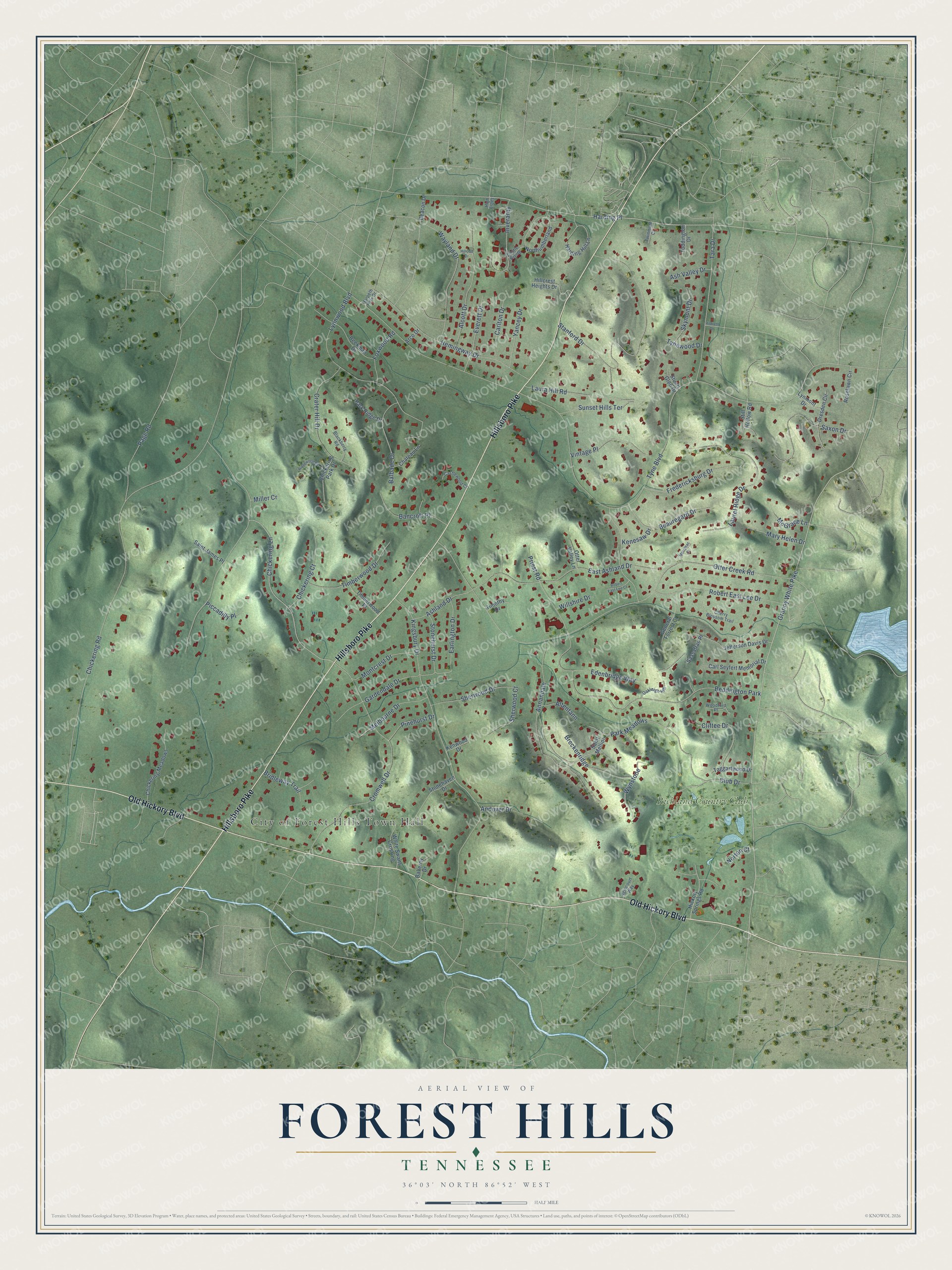
Names on this map
These names are printed on this map.
Places: City of Forest Hills Town Hall, Richland Country Club and Beddington Park.
Streets and roads: Hillsboro Pike, Old Hickory Boulevard, Granny White Pike, Harding Place, Chickering Lane, Tyne Boulevard, Otter Creek Road, Chickering Road, Kingsbury Drive, Annandale, Stanford Drive, Cromwell Drive.
More street names, A to Z
Agincourt Way, Alcott Drive, Altentann, Andover Drive, Arco Drive, Ashland Drive, Ash Valley Drive, Balbade Drive, Balleroy Drive, Bancroft Place, Beacon Drive, Beauregard Drive, Beekman Drive, Blackberry Road, Breckenridge, Bridleway Trail, Carl Seyfert Memorial Drive, Carlton Drive, Castle Rising, Castlewood Court, Chateau Lane, Cherry Blossom Trail, Chickering Court, Chickering Meadows, Chickering Park Drive, Cliftee Drive, Club Drive, Crater Hill Drive, Dresden Circle, Earlington Drive, East Ashland Drive, Edenbridge Way, Everett Drive, Foxwood Road, Fredericksburg Drive, Gardendale Drive, General Forrest Court, Harding Hill Lane, Harpeth Hills Drive, Hemingway Drive, Hickory Springs Road, High Estes, Hildreth Drive, Hillcott Drive, Hillcrest Heights Drive, Inveraray, Jefferson Davis Drive, Kenesaw Drive, Kenwood Drive, Laura Hill Road, Laurel Ridge Drive, Lynmont Drive, Lynnwood Boulevard, Mary Helen Drive, McGrace Lane, Melbourne Drive, Merrimac Court, Miller Cr, Montcrest Drive, Northumberland, Norton Court, Oakleigh Hill, Otter Valley Lane, Page Road, Park Meadows, Park Ridge Drive, Piccadilly Place, Pinehurst Drive, Priest Road, Ridgewood Drive, Robert East Lee Court, Robert East Lee Drive, Roselawn Circle, Saint James Place, Saint Mellion, Sassafras Place, Saxon Drive, Sherwood Court, Sherwood Drive, Skymont Drive, Still Hollow Road, Stonehaven Drive, Stonehurst Drive, Stuart Glen Drive, Sunset Hills Terrace, Taggartwood Drive, Tara Drive, Timberwood Drive, Timberwood Place, Timothy Drive, Toddington Drive, Twinmont Court, Tynewood Drive, Vintage Place, Wayland Drive, White Swans Crossing, Willshire Drive, Woodford Place, Wynstone, Yancey Drive.
Created by KNOWOL in 2026. The buildings are small red shapes, the roads carry their printed names, and shaded relief shows the shape of the land. The title panel reads "AERIAL VIEW OF FOREST HILLS TENNESSEE" with 36°03' NORTH 86°52' WEST.
It looks right in a kitchen, an office or a den, and it's a gift for anyone who grew up in Forest Hills or moved away. Open the preview and find your street. See sizes and frames for the Forest Hills map.