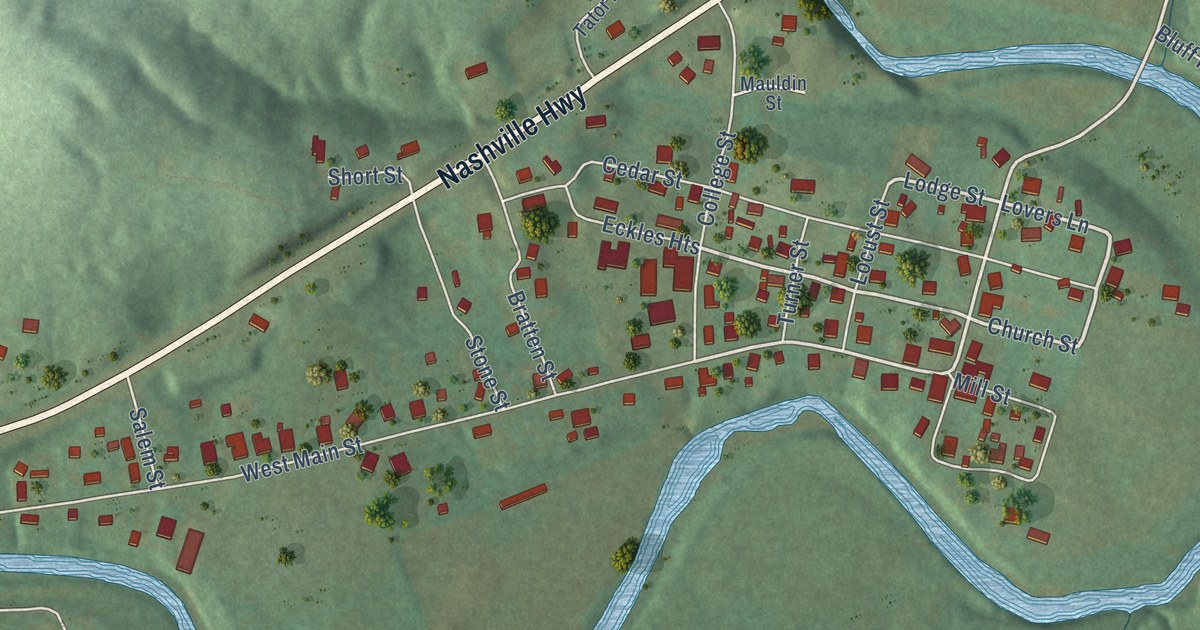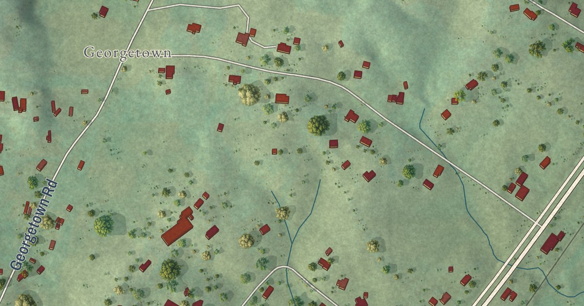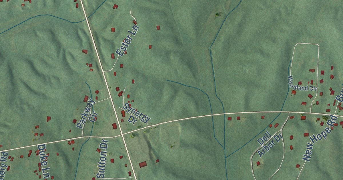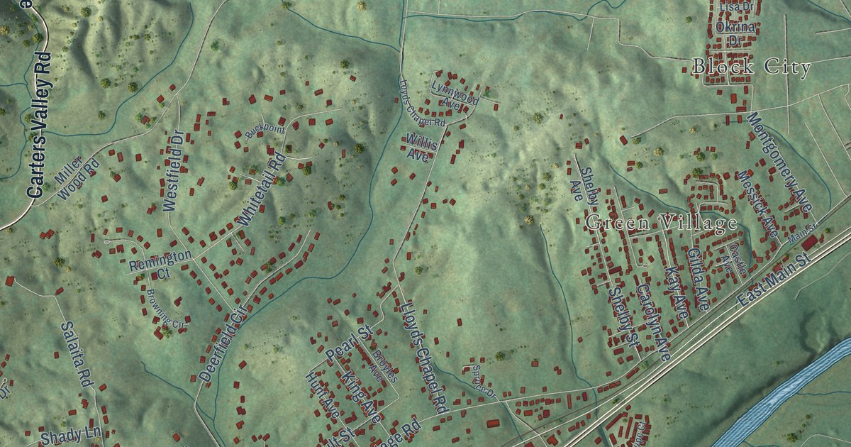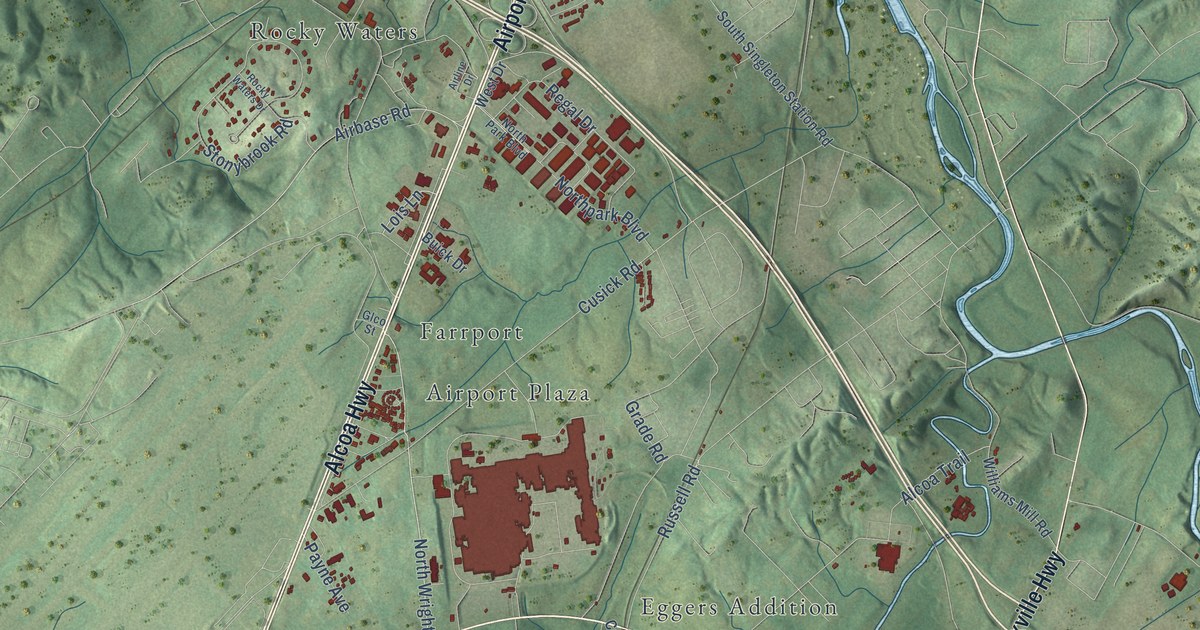
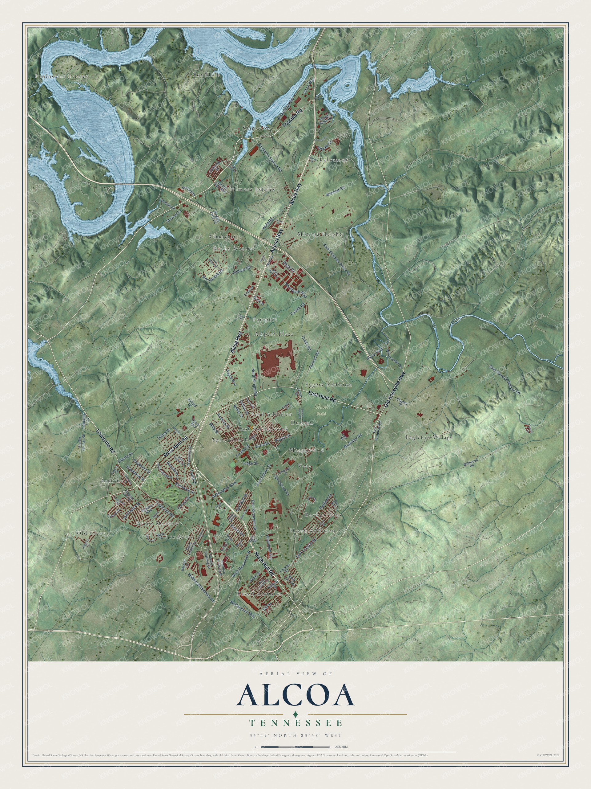
This beautifully detailed map of Alcoa, Tennessee was created in 2026 using aerial imagery combined with modern topographical, census, street and landmark data. It’s a one-of-a-kind view of Alcoa that combines accurate data with a vintage aesthetic. The map shows every building in its true location, many of the roads carry their names, and the shaded topographic relief shows the shape of the land.
Explore an aerial view of Alcoa, Tennessee
On the map you’ll find Hunt Field, Airport Plaza, Armona, Bassel Addition, Chandler, Duncan, Eagleton Village, East Springbrook, Eggers Addition, Farrport, Ford Addition, Fox Hills, and more. If you look closely you can even find your house accurately drawn in its correct location. Zoom in on the preview to look for yours.
Did you know this piece of Alcoa, Tennessee history?
From Tennesseeencyclopedia.net: "In 1914 the Aluminum Company of America (ALCOA) reincorporated the area of North Maryville into a company town called Alcoa and built several plants for aluminum production."
Take a closer look at the Alcoa map
Street and place names on the Alcoa, Tennessee map
These names are printed on the map of Alcoa, Tennessee.
Places: Hunt Field, Airport Plaza, Armona, Bassel Addition, Chandler, Duncan, Eagleton Village, East Springbrook, Eggers Addition, Farrport, Ford Addition, Fox Hills, Green Meadow, Harth Addition, Iris Acres, Lakemont, Meadowood, Mimosa Estates, Mimosa Heights, Old Glory, Peninsular Estates, Rockgardens, Rocky Waters, Singleton, Springbrook and Vose.
Streets and roads: Alcoa Highway, Airport Highway, North Hall Road, Topside Road, East Hunt Road, West Hunt Road, Louisville Road, Old Knoxville Highway, North Wright Road, East Bell Street, East Edison Street, Sam Houston School Road.
More street names, A to Z
Aberdeen Drive, Airbase Road, Airfield Drive, Airline Drive, Airway Drive, Alcoa Trail, Alcoa Way, Aluminum Avenue, Ambrose Street, Andover Boulevard, Andy Carr Avenue, Armona Road, Associates Boulevard, Banebury Lane, Belfair Lane, Beverly Drive, Buick Drive, Center Street, Central Park Boulevard, Cherry Street, Claiborne Street, Clayton Drive, Clingman View Drive, Crosswinds Way, Cusick Road, Dalton Street, Davies Street, Debra Court, Dogwood Street, Duncan Station Road, East Bessemer Street, East Broadway Avenue, East Howe Street, East Lincoln Road, Elm Boulevard, Faraday Street, Garfield Street, Gilbert Street, Gill Street, Glco Street, Grade Road, Grant Street, Grayson Drive, Hamilton Crossing Drive, Hamilton Street, Harvest Lane, Hillside Drive, Hunters Crossing Drive, Island Home Road, Jasmine Lane, Joule Street, Kelvin Road, Kettering Road, Kings Court, Kirkwell Drive, Lakemont Drive, Levi Street, Liberty Street, Lincoln Road, Lindsay Street, Linford Circle, Lodge Street, Lois Lane, Louisville Loop, Marlyn Lane, Marriott Drive, McArthur Road, McBath Road, McCammon Avenue, Middlesettlements Road, Mildred Circle, Mills Street, Newton Street, Nobel Street, Northpark Boulevard, North Park Boulevard, Payne Avenue, Pearly Smith Road, Peppertree Drive, Poplar Street, Proffitt Springs Road, Ramsay Street, Regal Drive, Riversedge Road, Rocky Waters Drive, Russell Road, Saint Ives Boulevard, Singleton Station Road, Snodderly Street, South Linden Drive, South Singleton Station Road, Southwick Drive, Springbrook Road, Starlite Road, Stewart Lane, Stonybrook Road, Tsuga Drive, Tyson Boulevard, Universal Street, Vera Drive, Victoria Lane, Vista Road, Volta Street, Vose Road, West Bell Street, West Bessemer Street, West Drive, West Lincoln Street, West Whitney Circle, Wheeler Road, Wildwood Road, Williams Mill Road, Wrights Ferry Road.
See the Alcoa, Tennessee map on a wall
The Alcoa map as an 18 x 24 inch print in a black frame.

This beautifully detailed map of Alcoa makes an attractive addition to your office, library, or den, and it can even be used to teach children the geography and history of the area. It also makes a great gift for anyone with Alcoa roots. When you’re done exploring, click here to get your copy of the Alcoa map.