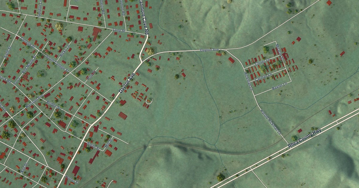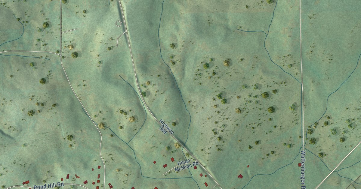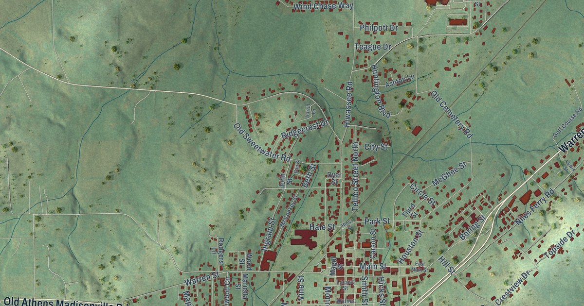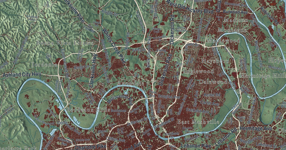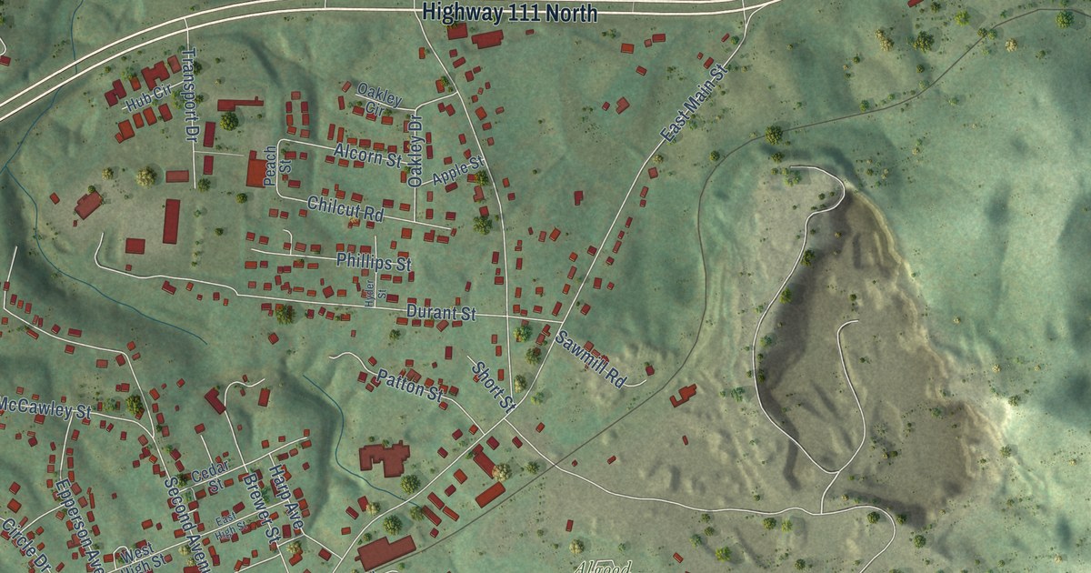
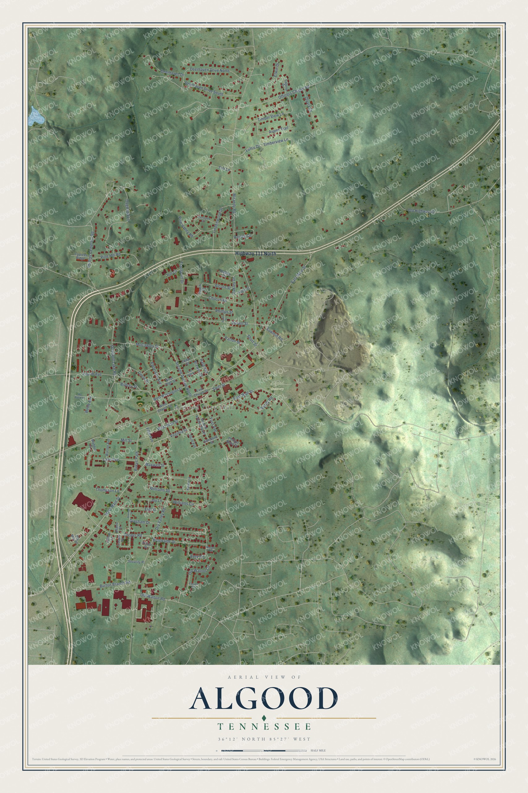
This beautifully detailed map of Algood, Tennessee was created in 2026 using aerial imagery combined with modern topographical, census, street and landmark data. It's a modern aerial view of Algood in Putnam County, Tennessee, that combines modern data with a vintage aesthetic. The roads feature printed names, and if you look closely you can find your exact house accurately shown in its correct location.
Explore an aerial view of Algood, Tennessee
On this map you'll find Algood City Hall, Algood Cemetery, Highway 111 North, West Main Street, East Wall Street, Loftis Drive, Timberview Lane, Mirandy Road, East Main Street, Dry Valley Road, Quinland Lake Road, First Avenue, and more. Each red shape is a building, so zoom in on the preview and look for yours.
Here is a piece of Algood history, in the words of the record. The National Register of Historic Places puts it this way: "The Algood United Methodist Church is the oldest surviving church building in Putnam
County, the oldest surviving quasi public building in Algood, and the only surviving nineteenth century church in Putnam County."
Algood is a city in Putnam County. The Census Bureau counted 3,963 people here in 2020.
Take a closer look at the Algood map
Names on this map
These names are printed on this map.
Places: Algood City Hall and Algood Cemetery.
Streets and roads: Highway 111 North, West Main Street, East Wall Street, Loftis Drive, Timberview Lane, Mirandy Road, East Main Street, Dry Valley Road, Quinland Lake Road, First Avenue, Durant Street, Second Avenue North.
More street names, A to Z
Adams Street, Alcorn Street, Apple Street, Aspen Trail, Avey Circle, Big Mac Drive, Bilbrey Street, Bowman Street, Brewer Street, Brookside Drive, Burton Branch Road, Carson Circle, Cedar Street, Chilcut Road, Chitwood Circle, Circle Drive, Clifton Lane, Cooper Road, Cooper Square, Cypress Ridge, Deerhaven Drive, Deerhaven Drive North, Deerhaven Drive South, Dogwood Lane, East Church Street, East High Street, Elm Street, Elwin Drive, Epperson Avenue, Fifth Avenue, Fourth Avenue, Fox Lane, Gresham Drive, Harp Avenue, Haven Lane, Hub Circle, Hyder Street, Joy Lane, Lane Avenue, Lindenwood Drive, Maddux Court, Mason Point, Maxwell Street, McCawley Street, Mill Street, Oakley Circle, Oakley Drive, Officers Chapel Road, Old Highway 42, Old Walton Circle, Old Walton Road, Olyvia Court, Patton Street, Peach Street, Phillips Bend Court, Phillips Cemetery Road, Phillips Street, Pine Hill Road, Pine Valley Road, Raines Circle, Rc Buck Drive, Ridgetop Drive, Rileys Path, Sandy Road, Sawmill Road, Second Avenue South, Security Place, Short Street, Simmons Street, Stover Drive, Swift Street, Third Avenue, Thompson Lane, Timber View Lane, Transport Drive, Virginia Street, Warren Avenue, Webb Avenue, West Church Street, West High Street, West Wall Street, West Washington Street, Williams Circle, Williams Square.
Created by KNOWOL in 2026. The buildings are small red shapes, the roads carry their printed names, and shaded relief shows the shape of the land. The title panel reads "AERIAL VIEW OF ALGOOD TENNESSEE" with 36°12' NORTH 85°27' WEST.
It suits a den, a classroom or a front hall, and it makes a gift for anyone with Algood roots. Open the preview and find the block you know. See sizes and frames for the Algood map.