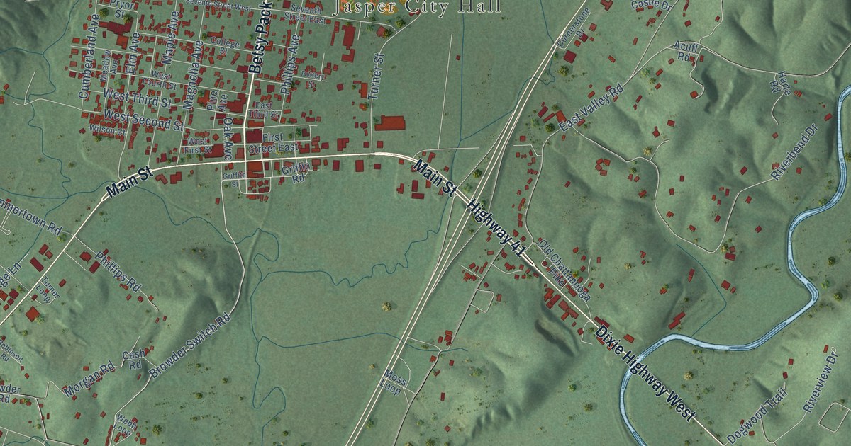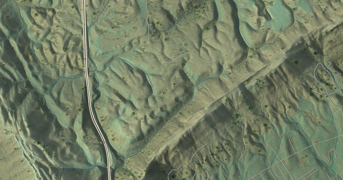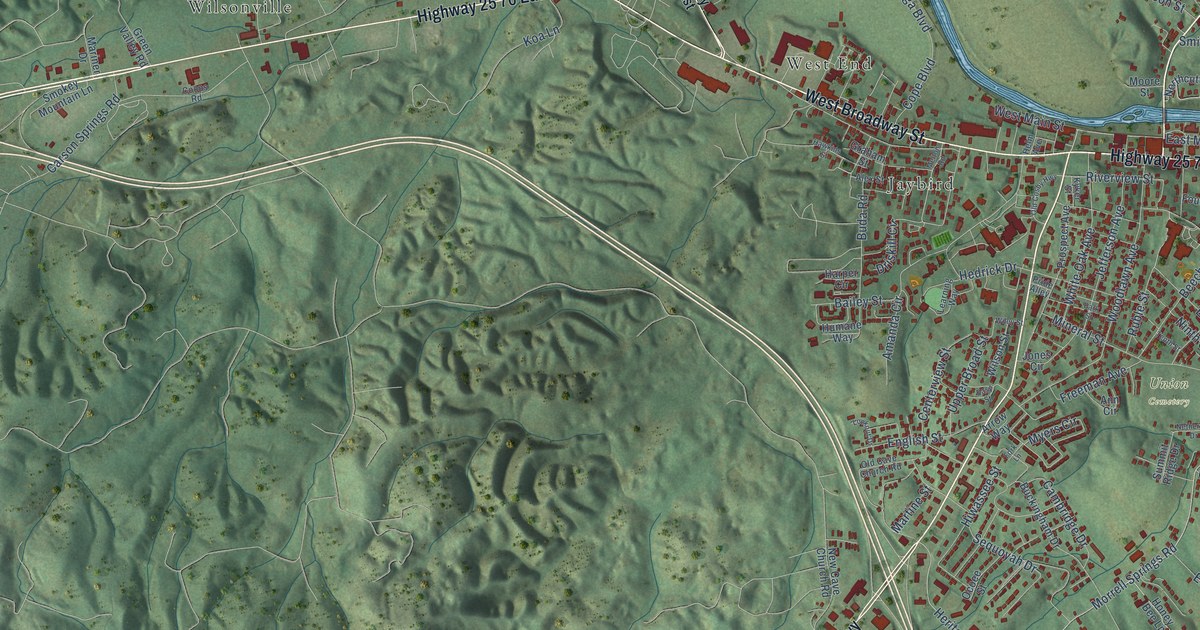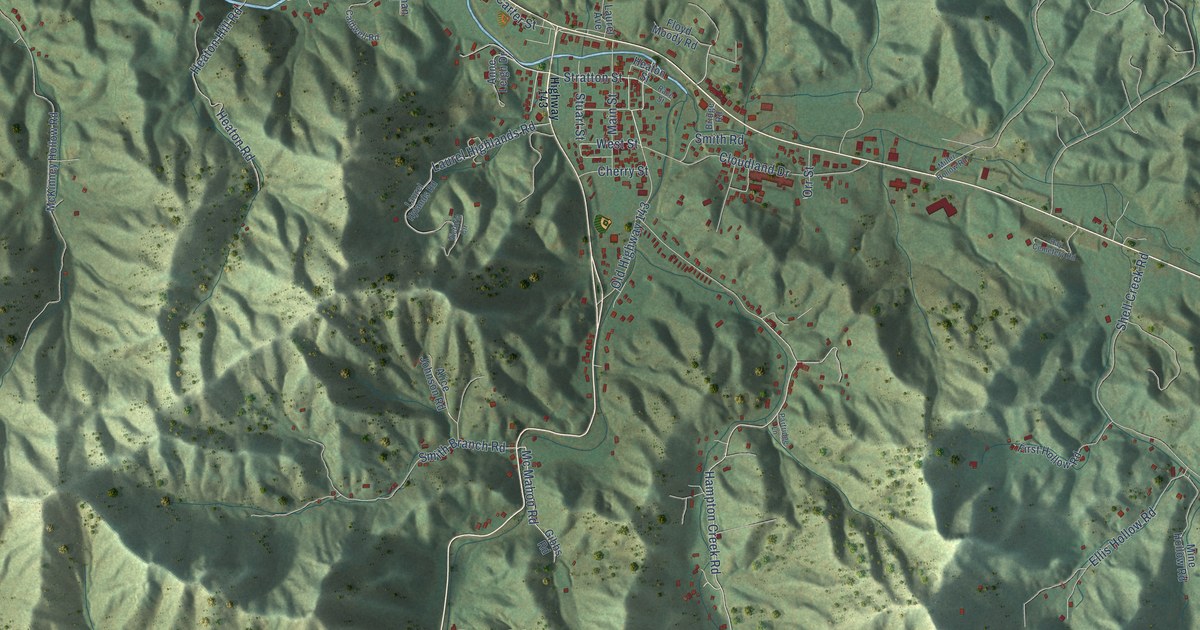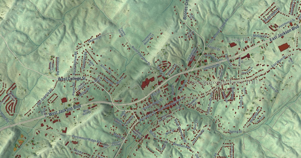
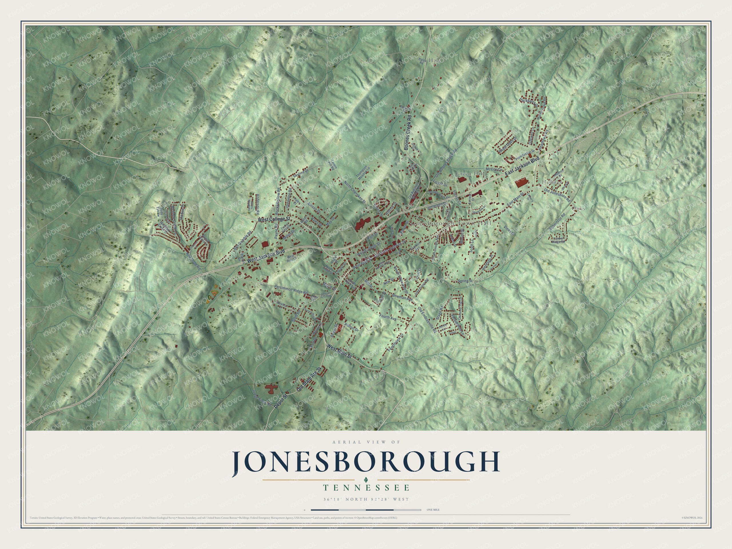
This beautifully detailed map of Jonesborough, Tennessee was created in 2026 using aerial imagery combined with modern topographical, census, street and landmark data. It's a modern aerial view of Jonesborough in Washington County, Tennessee, that combines modern data with a vintage aesthetic. The roads feature printed names, and if you look closely you can find your exact house accurately shown in its correct location.
Explore an aerial view of Jonesborough, Tennessee
On this map you'll find Jonesborough Town Hall, Green Hill, Hale, Holmes, Onks, West College Street, West Jackson Boulevard, East Jackson Boulevard, Boones Creek Road, West Main Street, Depot Street, East Main Street, and more. Each red shape is a building, so zoom in on the preview and look for yours.
Jonesborough has a story worth telling. The record at tennesseeencyclopedia.net puts it this way: "Landmark buildings include the Chester Inn; the Christopher Taylor House, a two-story log dwelling; Sisters Row, an 1820s brick row house; the Presbyterian Church of 1845-47, one of the state’s most impressive Greek Revival church buildings; the Cunningham house, home of railroad investor Dr."
Jonesborough is a town in Washington County. The Census Bureau counted 5,860 people here in 2020.
Take a closer look at the Jonesborough map
Names on this map
These names are printed on this map.
Places: Jonesborough Town Hall, Green Hill, Hale, Holmes and Onks.
Streets and roads: West College Street, West Jackson Boulevard, East Jackson Boulevard, Old State Route 34, Boones Creek Road, West Main Street, Depot Street, East Main Street, Old Jonesboro Road, Robertson Road, Persimmon Ridge Road, North Cherokee Street.
More street names, A to Z
Allison Drive, Anderson Road, Angle Street, Ashley Meadows, Ben Gamble Road, Berkley Court, Birds Eye Vw, Blount Street, Boone Street, Bowman Avenue, Britt Drive, Charlem Hills Road, Cherry Ridge Drive, Chimney Top Lane, Comer's Drive, Dillow Drive, Duel Lane, Forest Circle, Forest Drive, Forestview Drive, Forrest Drive, Fourth Avenue, Fox Street, Franklin Avenue, Goldenrod Lane, Greenlee Road, Hackberry Drive, Hales Court, Hales Road, Haws Drive, Headtown Road, Heritage Court, Heritage Place, High Street, Hillrise Drive, Holmes Drive, Ida Sue Drive, Jackson Lane, Jaybird Drive, Jefferson Drive, Jenny Lane, John Green Road, John Sevier Drive, Johnson City Highway, Judge Vines Road, Landon Trail, Locust Street, Lorena Lane, Malone Drive, Maple Drive, May Drive, McCoy Circle, Meadow Brook Avenue, Meadow Creek Lane, Miller Drive, Miller Road, Mill Street, Mountain Creek Court, New Hope Road, New Street, North Third Street, Oakwell Lane, Old Boones Creek Road, Old Bugaboo Springs Road, Old Embreeville Road, Olde Towne Drive, Old State Highway 34, Parsons Circle, Patton Drive, Payne Road, Persimmon Lane, Pine Street, Presidential Drive, Rocky Hollow Road, Royal Oaks Drive, Russell Circle, Sabin Drive, Scott Lane, Shamrock Drive, Shell Road, Skyline Drive, Smith Lane, South Cherokee Street, South Lincoln Avenue, South Third Avenue, Spring Street, Stage Road, Sweet Grass Lane, Tavern Hill Road, Teague, Thompson Meadow Lane, Timber Ridge Road, Vines Drive, Walnut Grove Road, Walton Street, West Hills Drive, West Woodrow Avenue.
Created by KNOWOL in 2026. The buildings are small red shapes, the roads carry their printed names, and shaded relief shows the shape of the land. The title panel reads "AERIAL VIEW OF JONESBOROUGH TENNESSEE" with 36°18' NORTH 82°28' WEST.
It looks right in a kitchen, an office or a den, and it's a gift for anyone who grew up in Jonesborough or moved away. Open the preview and find your street. See sizes and frames for the Jonesborough map.