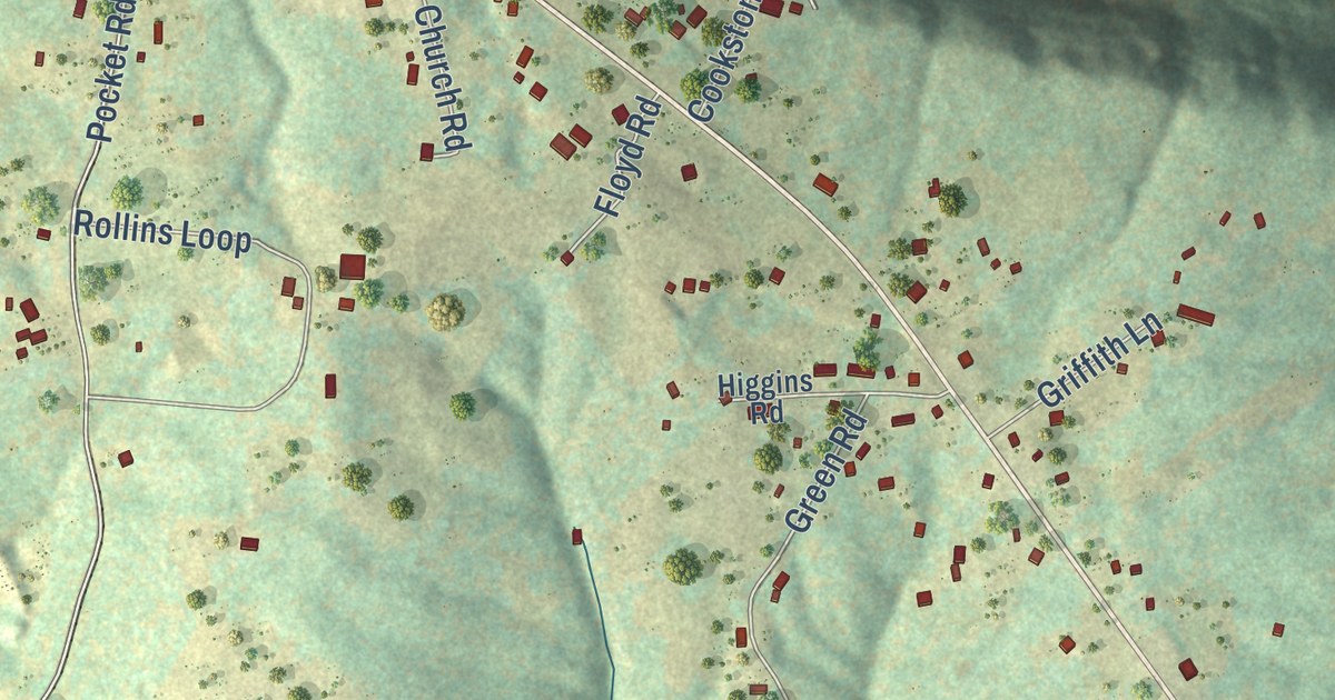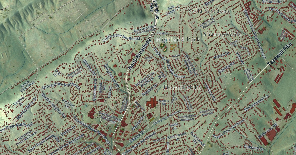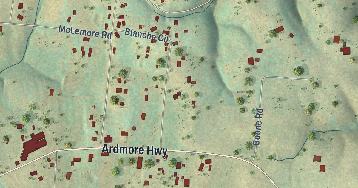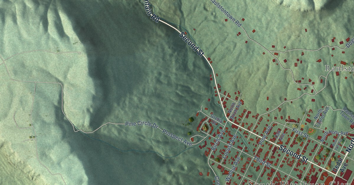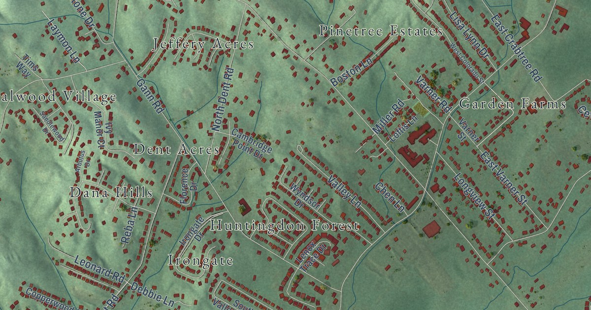
This beautifully detailed map of Middle Valley, Tennessee was created in 2026 using aerial imagery combined with modern topographical, census, street and landmark data. It’s a one-of-a-kind view of Middle Valley that combines accurate data with a vintage aesthetic. The map shows every building in its true location, many of the roads carry their names, and the shaded topographic relief shows the shape of the land.
Explore an aerial view of Middle Valley, Tennessee
On the map you’ll find Caramel Village, Clearwater Acres, Crabtree Hills, Crestfield, Cross Timbers, Dallas Hollow, Dana Hills, Dent Acres, Fanetta Gardens, Farrington Forest, Forestwood, Garden Farms, and more. If you look closely you can even find your house accurately drawn in its correct location. Zoom in on the preview to look for yours.
Did you know this piece of Middle Valley, Tennessee history?
From the Regional Planning Agency: "The history of the Middle Valley area can date as far back as the founding of Hamilton County in 1819."
Take a closer look at the Middle Valley map
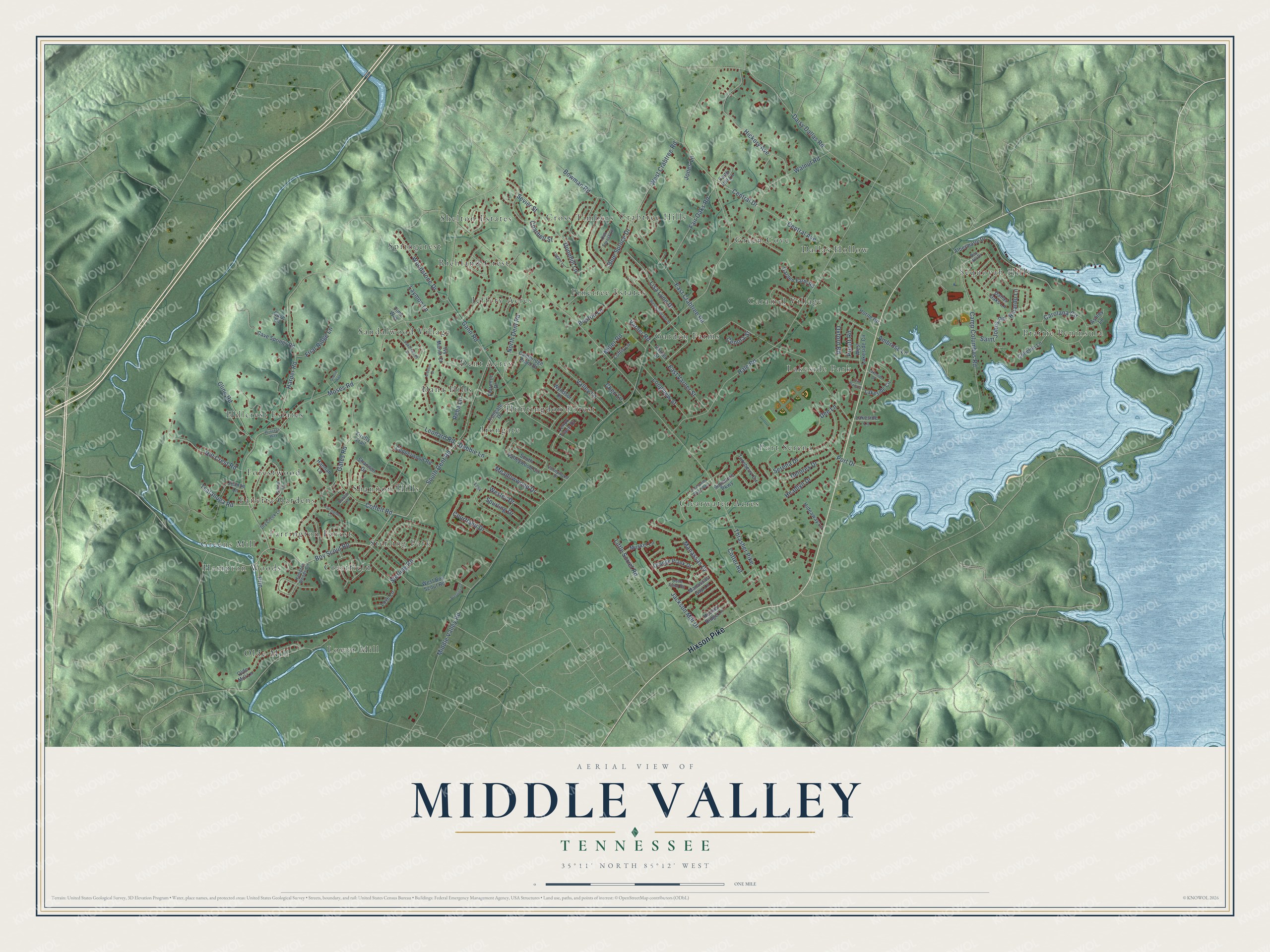
Street and place names on the Middle Valley, Tennessee map
These names are printed on the map of Middle Valley, Tennessee.
Places: Caramel Village, Clearwater Acres, Crabtree Hills, Crestfield, Cross Timbers, Dallas Hollow, Dana Hills, Dent Acres, Fanetta Gardens, Farrington Forest, Forestwood, Garden Farms, Green Cove, Greens Mill, Hampton Woods, Hillcrest Estates, Huntingdon Forest, Irongate, Jeffery Acres, Lakeside Park, Lower Mill, Olde Mill, Pinetree Estates, Port Serena, Prairie Peninsula, Richland Crest, Sandalwood Village, Sequoyah Hills, Shannon Hills, Shelton Estates, Springcrest and Sterling Park.
Streets and roads: Hixson Pike, South Dent Road, Boy Scout Road, Cotter Road, Middle Valley Road, Thrasher Pike, Moses Road, Hale Road, East Crabtree Road, Gann Road, Coffelt Road, Daisy Dallas Road.
More street names, A to Z
Albermarle Drive, Ambrose Lane, Arbutus Drive, Ashley Lane, Bay Hill Drive, Blue Spruce Drive, Boston Lane, Bowman Road, Cambridge Point Drive, Camp Columbus Road, Carolana Circle, Cave Lane, Cave Springs Road, Cenora Street, Central Avenue, Central Drive, Charbell Street, Chen Lane, Clearwater Road West, Cline Road, Colleton Lane, Copperwood Road, Courtland Drive, Dallas Oaks Lane, Debbie Lane, Dee Lane, Delores Drive, Dove Field Road, Dry Creek Lane, Dublin Lane, Dunnhill Lane, East Varner Street, Elile Plaza Place, Fairington Circle, Fair Oaks Road, Faith Hill Lane, Firefly Trail, Florence Drive, Friar Ridge Lane, Garden Farm Road, Gates Road, Gracie Way, Hampton Woods Circle, Hannah Lane, Harper Road, Headlyn Drive, Hickory Avenue, Hideaway Lane, Hill Crest Road, Horne Road, Houser Ridge Lane, Irongate Drive, Ivy Manor Court, Jackson Mill Drive, Jeanne Lane, Jones Lane, Lakeside Circle, Lakeside Drive, Lakeside Lane, Laymon Lane, Lenox Trace Drive, Leonard Road, Lisa Lynn Drive, Little Sorrel Road, Loftis Lane, Logger Lane, Longview Street, Love Lane, Manassas Drive, Manassas Gap Lane, Meadowwood Drive, Miller Road, Musket Lane, North Dent Road, Oak Forest Lane, Olde Mill Lane, Orange Plank Drive, Oxford Road, Port Drive, Prestige Lane, Princess Way, Prln, Pruett Road, Reba Lane, Ricardo Lane, Saint Johns Road, Sandlewood Drive, Serena Drive, Sevier Street, Shannon Drive, Signal Lane, Signature Parkway, South Valleywood Circle, Spurling Drive, Sterling Road, Tims Way, Tsatanuga Road, Turnberry Circle, Valley Lane, Valleywood Drive, Varner Road, Varner Street, Walnut Road, Wesley Drive, West Boy Scout Road, West Colorado Street, West Crabtree Road, West Lakeside Circle, Woodstone Drive, Wyndsor Drive.
See the Middle Valley, Tennessee map on a wall
The Middle Valley map as an 18 x 24 inch print in a black frame.

This beautifully detailed map of Middle Valley makes an attractive addition to your office, library, or den, and it can even be used to teach children the geography and history of the area. It also makes a great gift for anyone with Middle Valley roots. When you’re done exploring, click here to get your copy of the Middle Valley map.