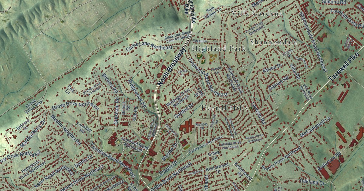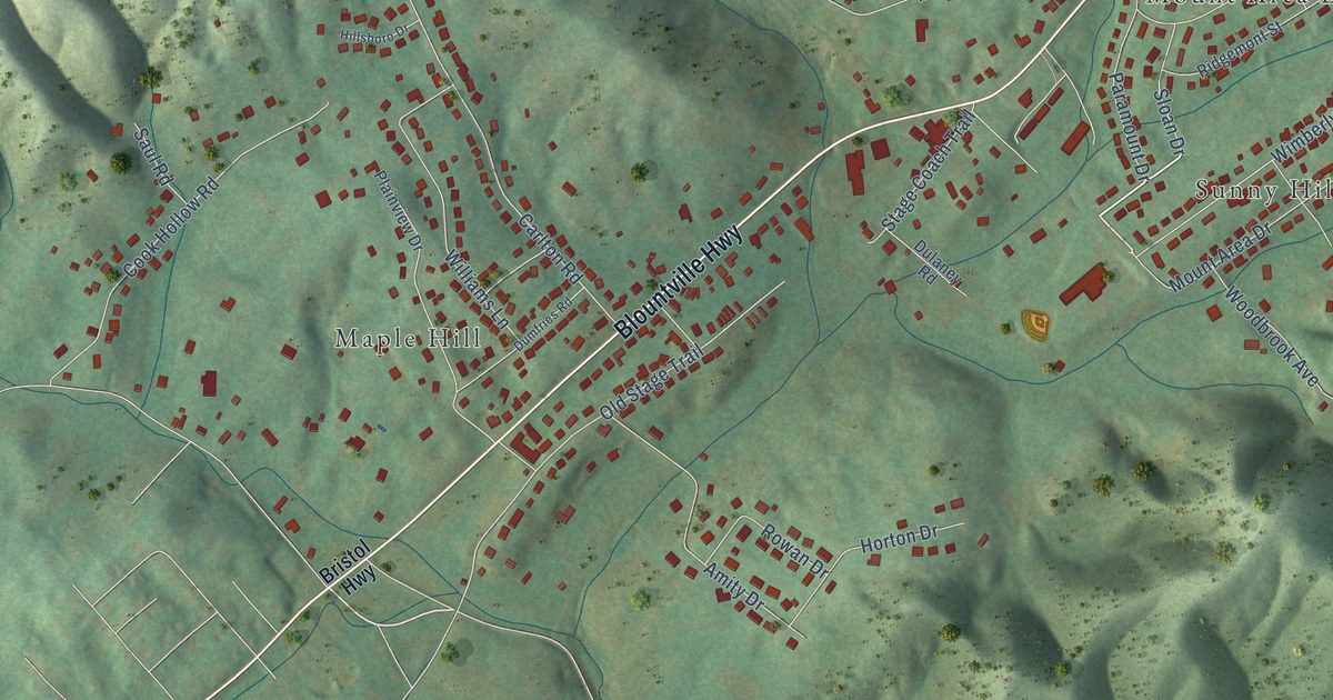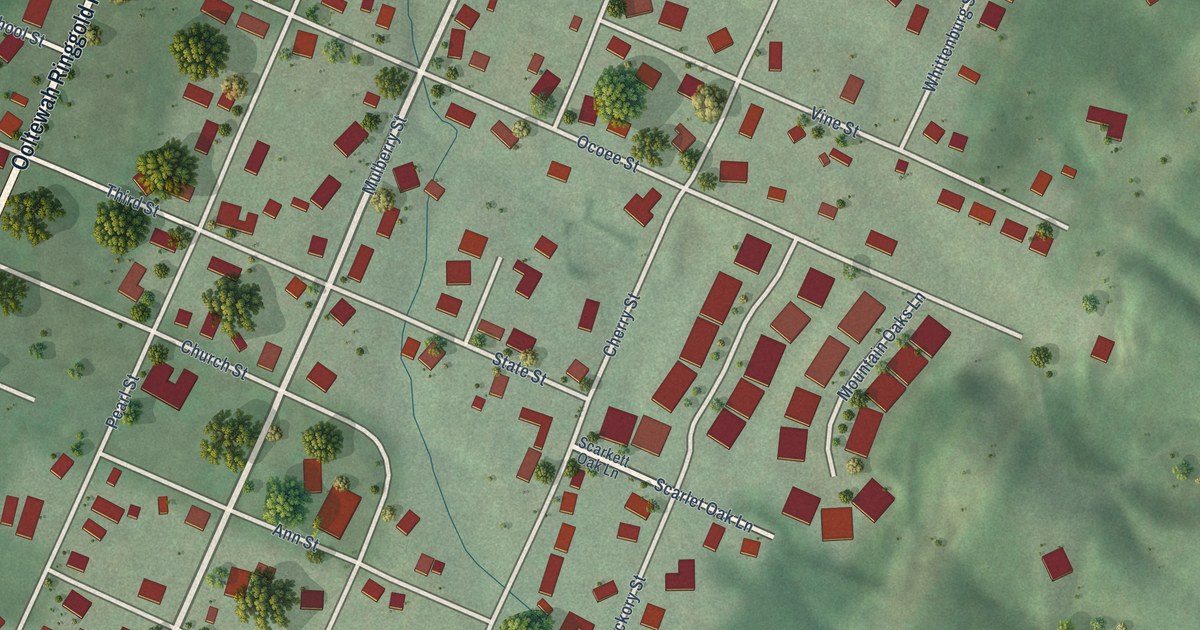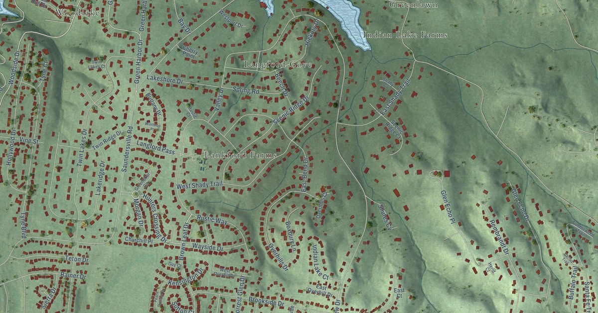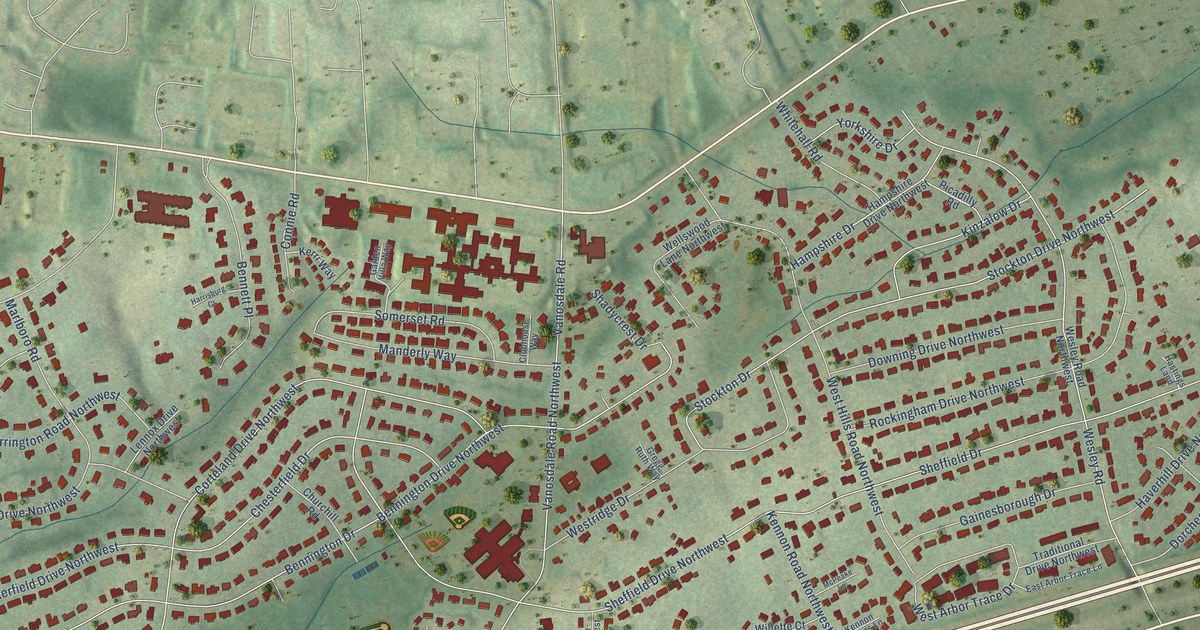
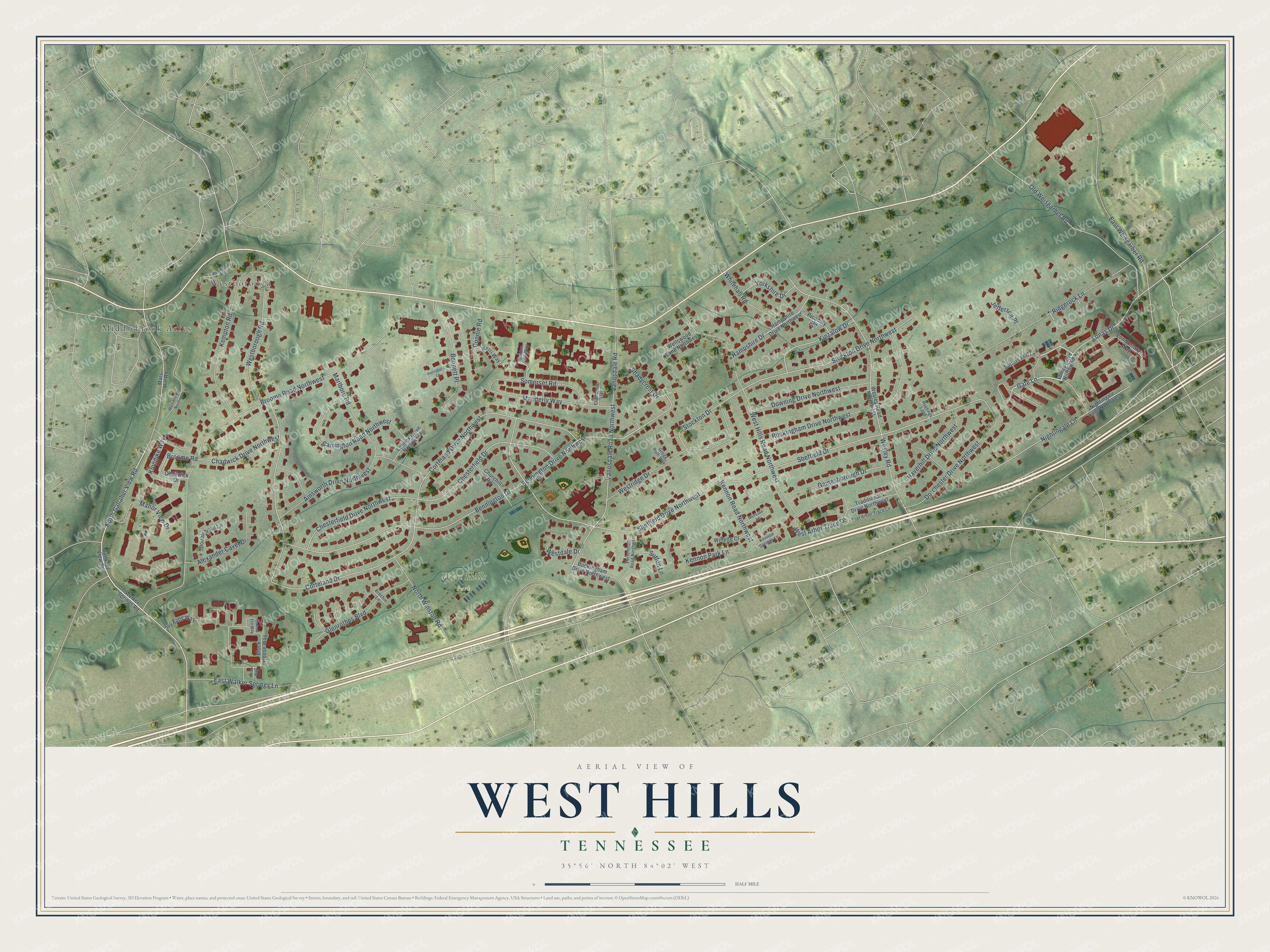
This beautifully detailed map of West Hills, Tennessee was created in 2026 using aerial imagery combined with modern topographical, census, street and landmark data. It’s a one-of-a-kind view of West Hills that combines accurate data with a vintage aesthetic. The map shows every building in its true location, many of the roads carry their names, and the shaded topographic relief shows the shape of the land.
Explore an aerial view of West Hills, Tennessee
On the map you’ll find West Hills Park, Westborough, and Middlebrook Acres, along with North Gallaher View Road, Lonas Drive, Corteland Drive, Corteland Drive Northwest, Sheffield Drive, Sheffield Drive Northwest, Broome Road Northwest, Bennington Drive, Bennington Drive Northwest, and more. If you look closely you can even find your house accurately drawn in its correct location. Zoom in on the preview to look for yours.
Take a closer look at the West Hills map
Names on this map
These names are printed on this map.
Places: West Hills Park, Westborough and Middlebrook Acres.
Streets and roads: North Gallaher View Road, Lonas Drive, Corteland Drive, Corteland Drive Northwest, Sheffield Drive, Sheffield Drive Northwest, Broome Road Northwest, Bennington Drive, Bennington Drive Northwest, Chesterfield Drive, Chesterfield Drive Northwest, Wesley Road.
More street names, A to Z
Ainsworth Drive Northwest, Alexander Cavet Drive, Bennett Place, Block House Way, Brechin Lane, Broome Road, Buckingham Drive Northwest, Carrington Road Northwest, Chadwick Drive, Chadwick Drive Northwest, Churchill Road, Clubhouse Way, Connie Road, Dorchester Drive Northwest, Doublehead Lane, Downing Drive Northwest, East Arbor Trace Lane, East Walker Springs Lane, East Weisgarber Road, Gainesborough Drive, Gallaher View Road, Gallant Fox Way, Garden Villa Way, Gate Lane, Glenrothes Boulevard, Gregg Ruth Way, Hampshire Drive, Hampshire Drive Northwest, Harrisburg Court, Hastings Land, Haverhill Drive Northwest, Ivy Falls Way, Jefferson Place, Kelso Way, Kempton Road, Kennon Park Lane, Kennon Road Northwest, Kennon Springs Lane, Kerri Way, Kinzalow Drive, Klondike Way, Lennox Drive Northwest, Lonas Drive Northwest, Londontown Way, Manderly Way, Manor View Drive, Marlboro Road, Mars Hill Road, Mars Hill Road Northwest, McPeake Lane, Nightingale Lane, Nightingale Lane Northwest, North Winston Road, Old Weisgarber Road, Picadilly Road, Portsmouth Road Northwest, Ridgerock Lane, Robinson Road, Rockingham Drive Northwest, Shadycrest Drive, Somerset Road, Stockton Drive, Stockton Drive Northwest, Sutters Mill Lane, Sutton Lane, Traditional Drive Northwest, Vanosdale Road, Vanosdale Road Northwest, Walker Springs Road, Wellswood Lane Northwest, Wesley Road Northwest, West Arbor Trace Drive, Westborough Road, Westdale Drive, West Hills Road Northwest, Westridge Drive, Whitehall Road, Willette Court, Yorkshire Drive.
See it on a wall
The West Hills map as a framed print. Swipe for more.


This beautifully detailed map of West Hills makes an attractive addition to your office, library, or den, and it can even be used to teach children the geography and history of the area. It also makes a great gift for anyone with West Hills roots. When you’re done exploring, click here to get your copy of the West Hills map.