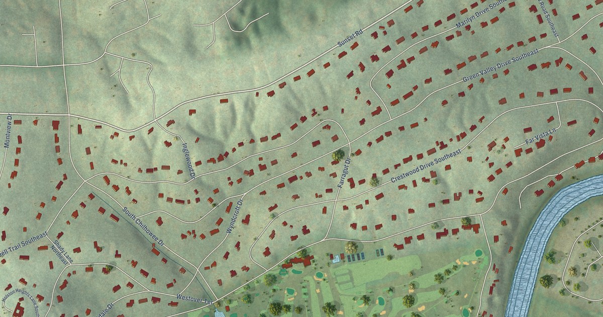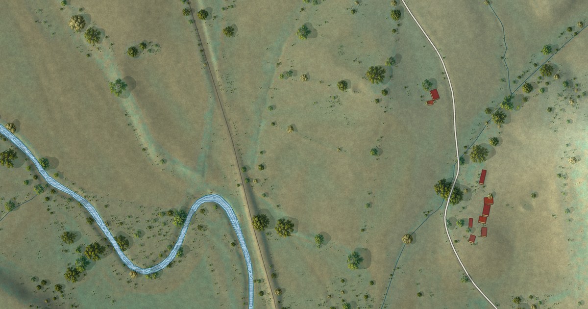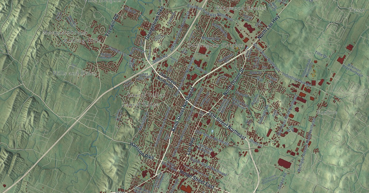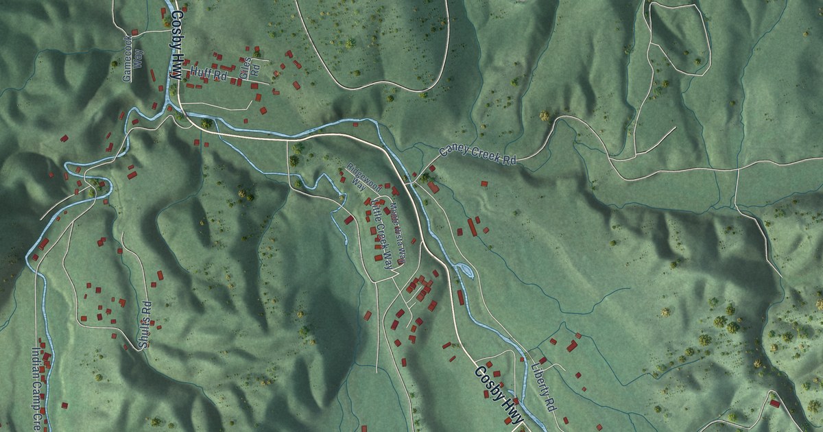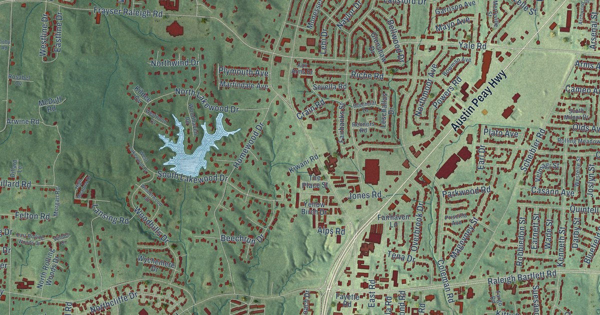
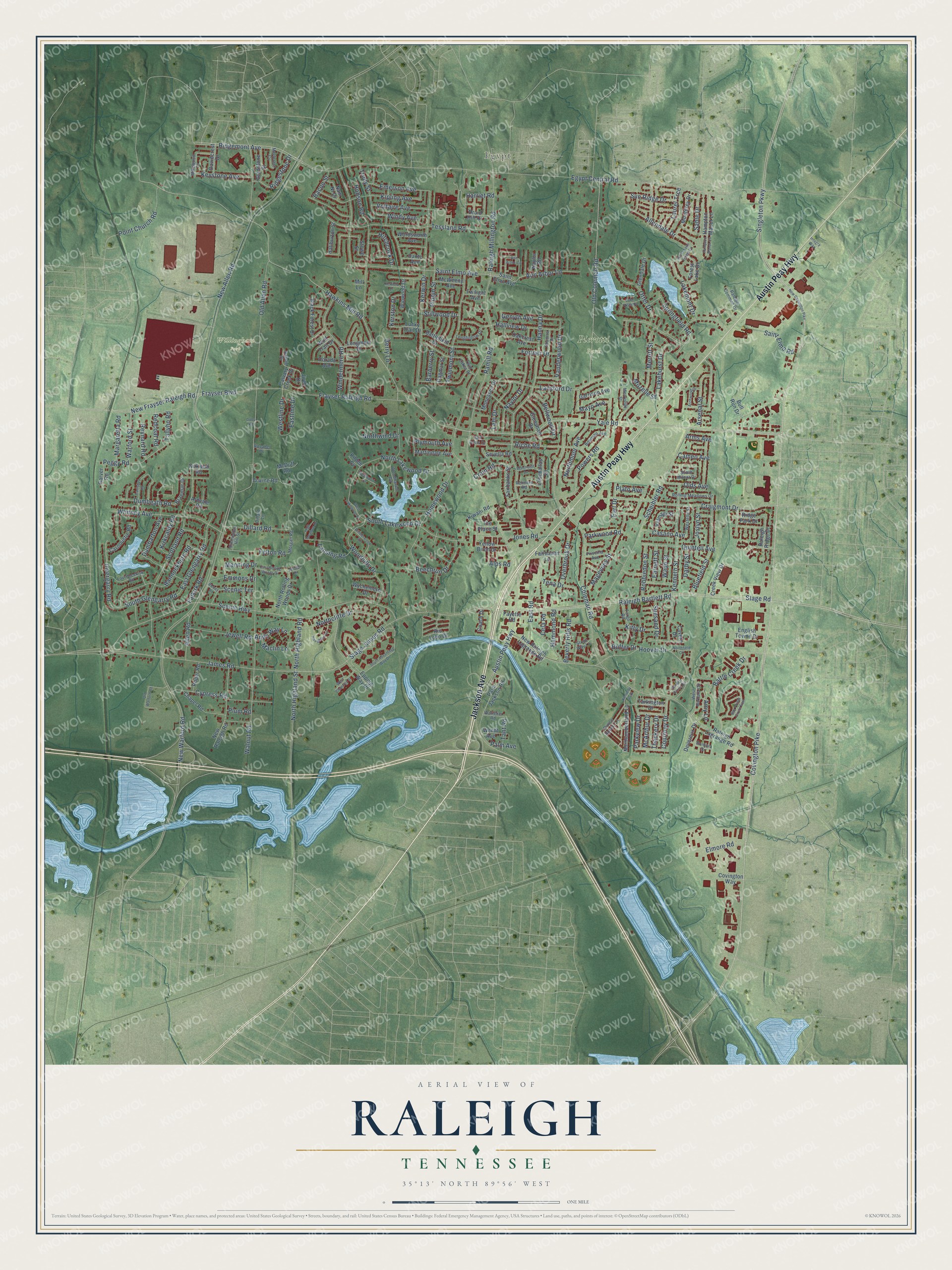
This beautifully detailed map of Raleigh, Tennessee was created in 2026 using aerial imagery combined with modern topographical, census, street and landmark data. It’s a one-of-a-kind view of Raleigh that combines accurate data with a vintage aesthetic. The map shows every building in its true location, many of the roads carry their names, and the shaded topographic relief shows the shape of the land.
Explore an aerial view of Raleigh, Tennessee
On the map you’ll find Egypt, Pierotti Park, and Willingham Park, along with Jackson Avenue, Austin Peay Highway, Yale Road, Covington Pike, Hawkins Mill Road, New Allen Road, Stage Road, James Road, Coleman Road, and more. If you look closely you can even find your house accurately drawn in its correct location. Zoom in on the preview to look for yours.
Did You Know?
From Internet Archive: "It was founded in 1793, and stood but a few yards from the old Raleigh tavern, where Patrick Henry delivered his famous philippic against George III."
Raleigh is a place in Shelby County.
Take a closer look at the Raleigh map
Names on this map
These names are printed on this map.
Places: Egypt, Pierotti Park, Willingham Park and Kennedy Park.
Streets and roads: Jackson Avenue, Austin Peay Highway, Yale Road, Covington Pike, Hawkins Mill Road, New Allen Road, Stage Road, James Road, Coleman Road, Egypt Central Road, Raleigh Millington Road, Frayser Raleigh Road.
More street names, A to Z
Allendale Drive, Allen Road, Alps Road, Amy Lane, Andy Way Lane, Ann Arbor Circle, Ann Arbor Lane, Archwood Drive, Ardvale Road, Arms Avenue, Arsenal Street, Arwine Road, Aux Arms Drive, Bacon Street, Bannockburn Road, Barberry Street, Battle Creek Drive, Battlefield Drive, Bay Pointe Circle East, Beechcliff Lane, Beechrun Drive, Bellwood Drive, Berry Lane, Beverly Hills Road, Black Forest Drive, Bluefield Street, Bontura Drive, Bowman Avenue, Braemar Drive, Buffer Drive, Bull Run Drive, Calvary Creek Drive, Cameo Avenue, Canisbay Road, Carnoustie Road, Casann Avenue, Cavern Drive, Cela Road, Chapel Road, Coach Drive, Courtney Drive, Covington Way, Craigmont Drive, Crain Road, Creek View Drive, Cypress Road, Dagmar Street, Dante Avenue, Darby Street, Davidcrest Drive, Devereux Drive, Dillard Lane, Dillard Road, Doby Road, Dorado Avenue, Druid Hill Drive, Dumbarton Avenue, Dumbeath Road, Earl Drive, Earnett Street, East Glengarry Road, Eastline Drive, East Road, East Rolling Woods Drive, Elmore Road, Emerson Avenue, Emmons Drive, English Towne Drive, Epping Way Drive, Fairbanks Street, Fairhaven Lane, Falkirk Road, Fargo Road, Fayette Road, Felton Road, Forest Lake Drive, Fortner Drive, Frayser Boulevard, Garden Grove Circle, Garrison Avenue, Garver Road, Genyth Avenue, Gladstone Street, Glendale Drive, Glenshaw Drive, Haliburton Street, Hallview Drive, Hammond Road, Hampton Manor Cv, Hampton Manor Lane, Hanna Drive, Harriet Road, Haughton Lane, High Meadow Drive, Hitchcock Drive, Hobson Road, Homewood Drive, Hoover Drive, Integra Way, Invergarry Road, Jewell Road, Jireh Drive, Jones Road, Joslyn Street, Kenneth Street, Kerfield Drive, Kerston Drive, Kerwin Drive, Keystone Avenue, Kildee Cv, Kipling Avenue, Kirkcaldy Road, Kirkwall Road, Kitty Drive, Kiwani Road, Lakehurst Drive, Lakemont Drive, Lake Vista Drive, Lansford Drive, Lansing Road, Laurel Trce, Laurencekirk Road, Lehi Drive, Leschallas Drive, Longhollow Drive, Longmont Drive, Lucky Trail Drive, Maclin Lane, Magevney Street, Manning Drive, Margaretta Road, Martindale Avenue, Mayo Avenue, McArthur Drive, McDuff Road, McWeeny Avenue, Merlcrest Cv, Merritt Street, Merryville Street, Mikewood Drive, Mill Lane, Monessen Drive, Monterey Drive, Morgan Road, Mozelle Street, Nam Ni Drive, Natalie Drive, Naylor Drive, Naylor Road, New Covington Pike, New Frayser Raleigh Road, New Raleigh Lagrange Road, New Raleigh Road, New Warford Road, Northcliffe Drive, Northfield Circle, North Highland Road, North Highland Street, North Lake Forest Drive, North Lakewood Drive, Northmoor Avenue, North Rolling Woods Drive, Northumberland Lane, Northwind Drive, Oakcrest Avenue, Old Allen Road, Old Coleman Road, Olds Avenue, Old Warford Road, Otter Drive, Overbrook Drive, Palm Avenue, Palm Jackson Road, Parkview Drive, Parkwood Road, Peggy Road, Pippin Street, Plato Avenue, Plum Road, Plymouth Avenue, Point Church Road, Powers Road, Prince Rupert Lane, Priscilla Avenue, Quintell Avenue, Raleigh Bartlett Road, Raleigh Common Drive, Raleigh Lagrange Road, Raleigh Ridge Drive, Ramill Road, Redcoat Road, Renners Road, Reynard Road, Riche Road, Rickey Road, Ridgemont Avenue, Ridge Park Drive, Ridgestone Drive, Rio Lobo Drive, Robbiedon Street, Rolling Meadows Drive, Roper Road, Rosabel Cv, Sable Drive, Saint Elmo Avenue, Saint Elmo Road, Scenic Highway, Scenic Terrace, Scheibler Road, Scotland Road, Sevella Road, Simmental Hill Street, Singleton Parkway, Socorro Drive, South Advantage Way Drive, South Glengarry Road, South Lakewood Drive, South Milnor Drive, Springfield Road, Stage James Road, Stillwood Drive, Stone Way Lane, Stowe Street, Suesand Drive, Sun Ridge Drive, Tallyho Road, Tant Road, Tarkington Drive, Tena Drive, Tessland Road, Thackery Drive, The Place Street, Trudy Street, Twilight Avenue, Twin Lakes Drive, Twinmont Street, Vanderwood Drive, Velmagi Street, Voltaire Avenue, Wade Street, Walnut Road, Warford Street, Watteker Road, Wendt Avenue, West Barbara Circle, West Chantrey Street, Westelle Street, West Lakewood Drive, Westline Drive, Westwood Cv, Whitney Avenue, Winder Drive, Windermere Road, Winderwood Circle, Windy Avenue, Winwood Drive, Wolf Trail Drive, Woodhaven Road, Woodhills Drive, Wordsworth Avenue, Wychemere Drive, Yellow Birch Drive.
See it on a wall
The Raleigh map as a framed print. Swipe for more.


This beautifully detailed map of Raleigh makes an attractive addition to your office, library, or den, and it can even be used to teach children the geography and history of the area. It also makes a great gift for anyone with Raleigh roots. When you’re done exploring, click here to get your copy of the Raleigh map.