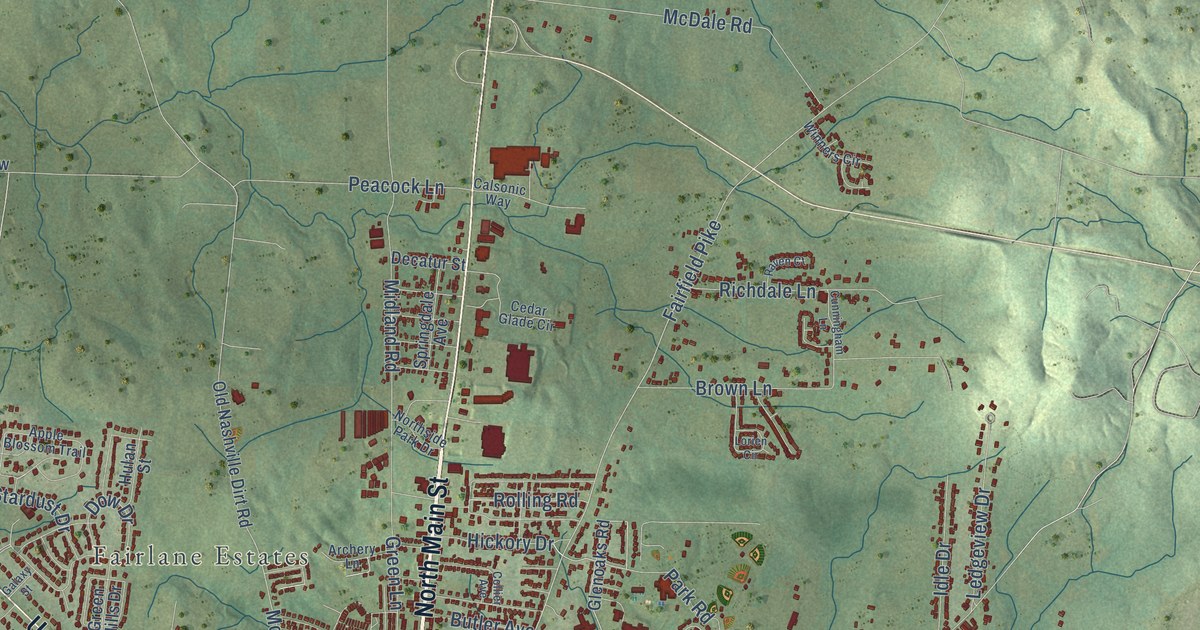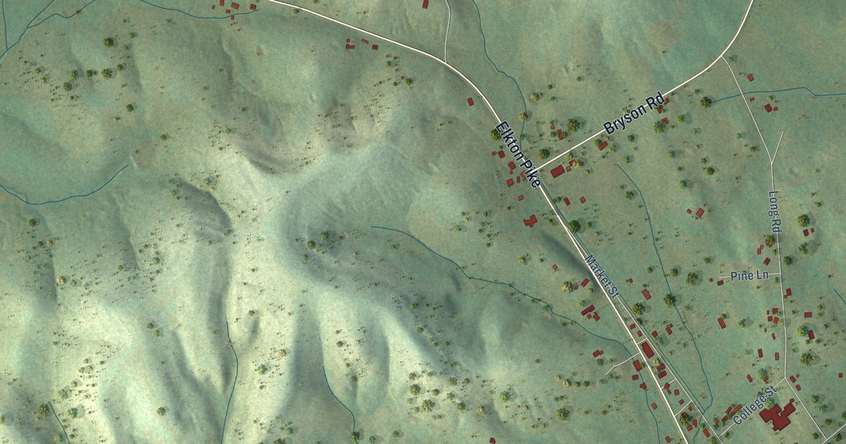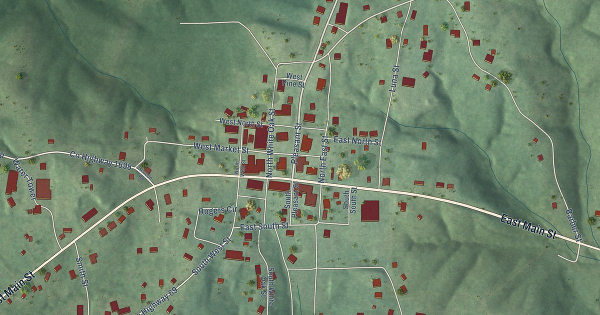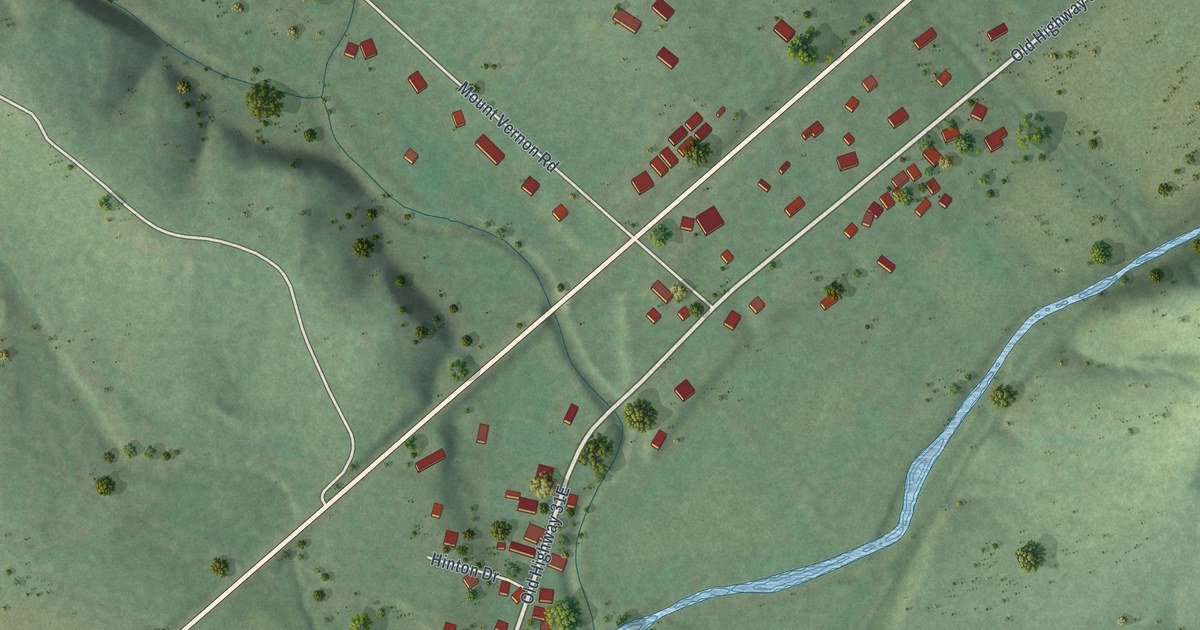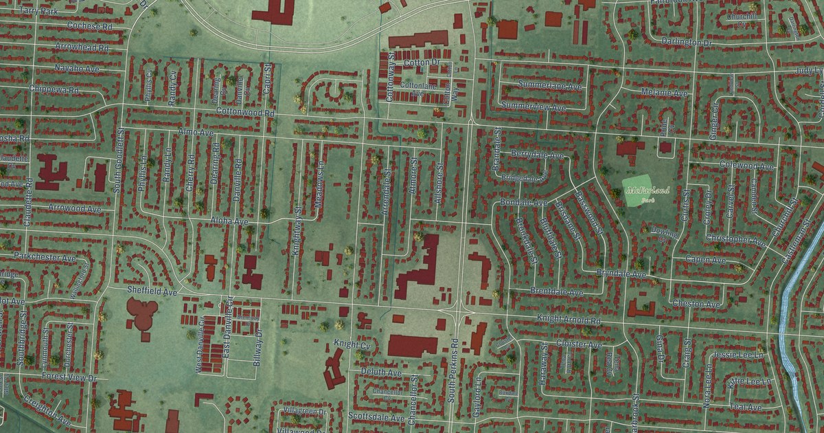
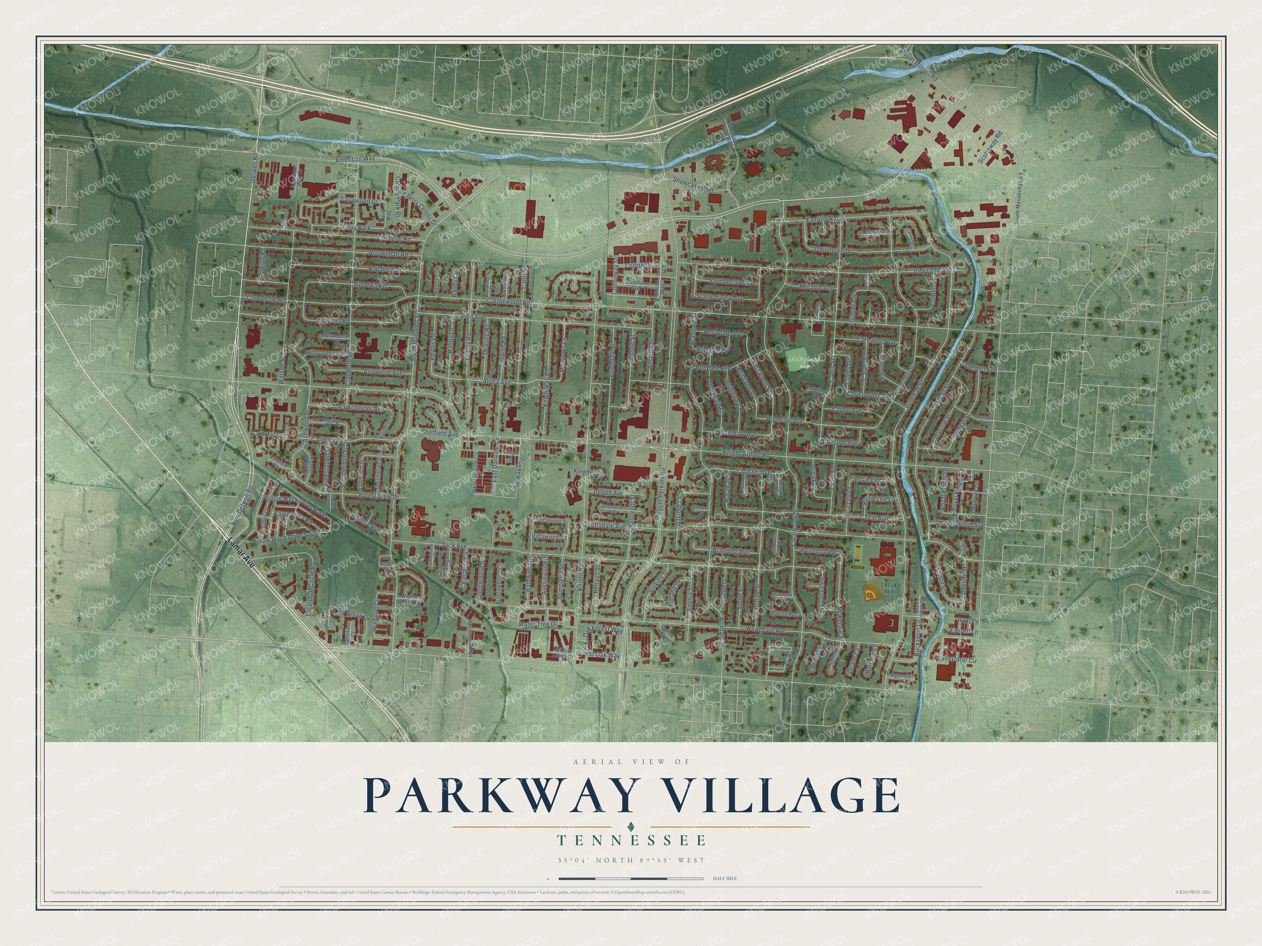
This beautifully detailed map of Parkway Village, Tennessee was created in 2026 using aerial imagery combined with modern topographical, census, street and landmark data. It’s a one-of-a-kind view of Parkway Village that combines accurate data with a vintage aesthetic. The map shows every building in its true location, many of the roads carry their names, and the shaded topographic relief shows the shape of the land.
Explore an aerial view of Parkway Village, Tennessee
On the map you’ll find McFarland Park, along with Lamar Avenue, Getwell Road, American Way, Cherry Road, New Getwell Road, Basswood Street, Aloha Avenue, Bryndale Avenue, East Danville Circle, Swanson Street, South Perkins Road, and more. If you look closely you can even find your house accurately drawn in its correct location. Zoom in on the preview to look for yours.
Take a closer look at the Parkway Village map
Names on this map
These names are printed on this map.
Places: McFarland Park and Tarry Park.
Streets and roads: Lamar Avenue, Getwell Road, American Way, Cherry Road, New Getwell Road, Basswood Street, Aloha Avenue, Bryndale Avenue, East Danville Circle, Swanson Street, South Perkins Road, Knight Arnold Road.
More street names, A to Z
Adeline Street, Allshore Street, Almo Avenue, American Way Drive, Arrendale Street, Arrowhead Road, Arrowood Avenue, Ashview Cv, Ashwood Street, Atmore Street, Austinwood Drive, Barbwood Drive, Berrydale Avenue, Berrywood Avenue, Billway Drive, Blanding Avenue, Blanding Cv, Bluffdale Street, Bobo Lane, Bondale Avenue, Boxdale Cv, Boxdale Street, Brandale Street, Brentdale Avenue, Brentway Drive, Bridgedale Avenue, Brisdane Street, Brookdale Street, Brutonwood Cv, Bucksport Lane, Camden Street, Camelot Avenue, Camelot Lane, Capen Avenue, Capri Street, Carvel Street, Castleman Street, Chancellor Cv, Chancellor Street, Cherry Center Drive, Cheston Avenue, Chippewa Road, Christopher Avenue, Chuck Avenue, Churchill Cv, Churchill Street, Churnak Cv, Claudette Cv, Claudette Road, Clearbrook Street, Clearpool Circle Road, Cloister Avenue, Cloister Cv, Cochese Cv, Cochese Road, Coffee Drive, Colewood Avenue, Colony Park Drive, Comanche Road, Cookie Cv, Cordell Street, Cotton Drive, Cotton Lane, Cottonlane Avenue, Cotton Way, Cottonway Street, Cottonwood Road, Craig Street, Crazyhorse Drive, Creighton Avenue, Cristil Street, Croley Drive, Curtis Street, Danville Cv, Danville Road, Dargen Avenue, Darlington Cv, Darlington Drive, Darrow Street, Dearing Cv, Dearing Road, Deluth Avenue, Demeter Cv, Derron Avenue, Devel Street, Domar Street, Dorchester Street, Dothan Street, Dowling Cv, Duane Cv, Dungreen Street, Eagle River Road, Eastport Cv, Everett Lane, Fairbrook Avenue, Forest Brook Drive, Forest Glen Cv, Forest Glen Street, Forest Oak Way, Forest View Drive, Freland Drive, Gaylord Lane, Geronimo Court, Gina Drive, Ginger Circle, Haraway Street, Harrington Avenue, Honeywood Avenue, Hunt Lane, Innsbrock Lane, Jenkins Street, Jessie Lee Lane, Judy Lynn Avenue, Kenosha Road, Kittie Lee Lane, Knight Cv, Knight Road, Knightway Street, Landview Street, Luzon Drive, Lynmouth Street, Marconi Cv, McKenzie Cv, McKenzie Street, Meadows Lane, Mediterranean Drive, Melanie Avenue, Menawa Circle, Mount Moriah Road, Navaho Avenue, Nora Lee Lane, Northbridge Avenue, Oak Forest Way, Ogunquit Lane, Parkchester Avenue, Phyllis Cv, Phyllis Lane, Pride Cv, Randy Cv, Randy Lane, Redwing Road, Renault Street, Rose Creek Cv, Royal Knight Cv, Royal Knight Drive, Sarabee Lane, Scottsdale Avenue, Scottsway Road, Sheffield Avenue, Showcase Boulevard, Shuster Cv, Sophia Street, Southbridge Street, South Goodlett Street, South Mendenhall Road, Starsdale Street, Stone Street, Summerlane Avenue, Summerview Avenue, Sunnyfield Cv, Tall Oaks Circle, Tarry Way, Tarrywood Drive, Teal Avenue, Tena Rea Cv, Tena Ruth Cv, Thousand Oaks Boulevard, Tyrol Court, Villagreen Drive, Villawood Drive, Wallingford Street, Water Tree Drive, Watson Street, Wayfarer Circle, West Danville Circle, Willow Creek Drive, Willow Wyck Drive North, Willow Wyck Drive South, Windy Hollow Circle, Wingate Cv, Wingood Circle, Wooddale Avenue, Wooddale Cv, Woodhollow Drive.
See it on a wall
The Parkway Village map as a framed print. Swipe for more.


This beautifully detailed map of Parkway Village makes an attractive addition to your office, library, or den, and it can even be used to teach children the geography and history of the area. It also makes a great gift for anyone who grew up in Parkway Village or moved away. When you’re done exploring, click here to get your copy of the Parkway Village map.