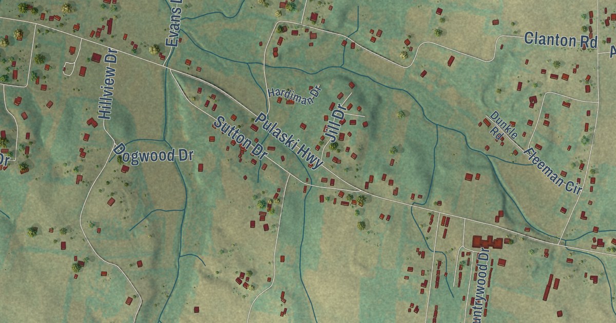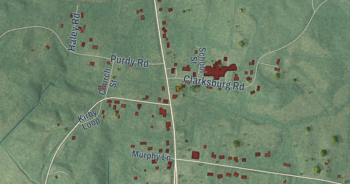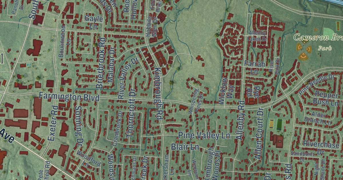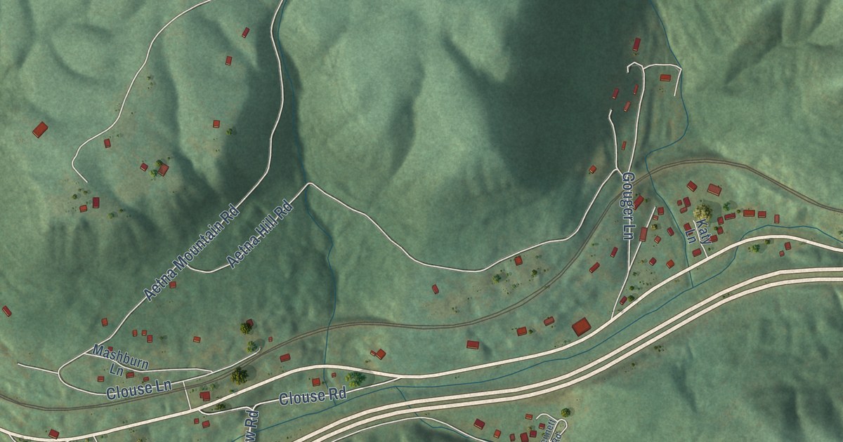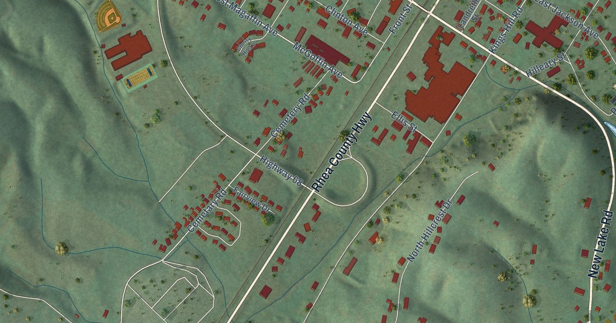
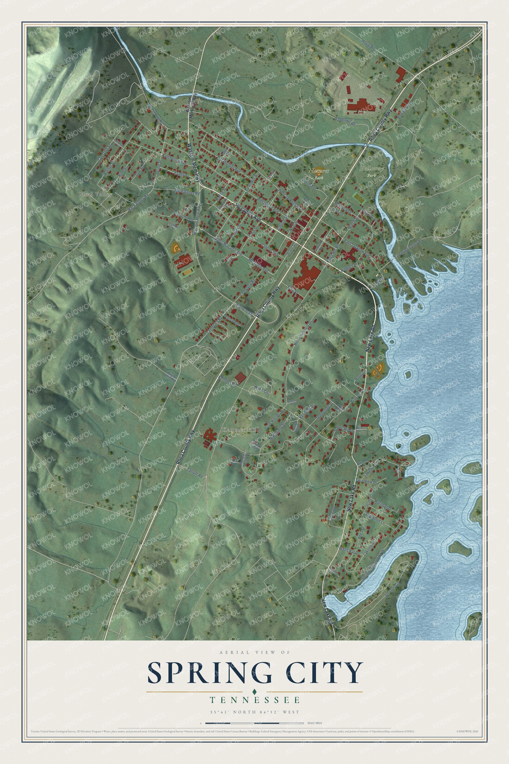
This beautifully detailed map of Spring City, Tennessee was created in 2026 using aerial imagery combined with modern topographical, census, street and landmark data. It’s a one-of-a-kind view of Spring City that combines accurate data with a vintage aesthetic. The map shows every building in its true location, many of the roads carry their names, and the shaded topographic relief shows the shape of the land.
Explore an aerial view of Spring City, Tennessee
On the map you’ll find Kemmer Hill, Holloway Park, Natures Park, and Ideal Valley, along with New Lake Road, Piccadilly Avenue, Rhea County Highway, Wassom Mem Highway, Hope Lane, West Magaffin Avenue, Lavender Street, Highway 68, and more. If you look closely you can even find your house accurately drawn in its correct location. Zoom in on the preview to look for yours.
Did you know this piece of Spring City, Tennessee history?
Spring City began in the 1870s as a stop on the Cincinnati Southern Railroad. It was first called Sulphur Springs because its water held so much sulphur. Later the town moved to its present site and took the name Spring City, honoring that first settlement. The old site now lies under Watts Bar Lake.
Take a closer look at the Spring City map
Street and place names on the Spring City, Tennessee map
These names are printed on the map of Spring City, Tennessee.
Places: Kemmer Hill, Holloway Park, Natures Park and Ideal Valley.
Streets and roads: New Lake Road, Piccadilly Avenue, Rhea County Highway, Wassom Mem Highway, Hope Lane, West Magaffin Avenue, Lavender Street, Highway 68, Front Street, McGoffin Avenue, Cemetary Road, Back Valley Road.
More street names, A to Z
Alice Lane, Aqua Lane, Autumn Lane, Broyles Road, Bruce Lane, Cash Street, Cemetery Road, Cherry Hill Lane, Chestnut Street, Church Street, Clinton Avenue, Collins Street, Dogwood Lane, Dunlap Street, East Jackson Avenue, Edwards Lane, Ellis Street, Evans Street, Fairview Drive, Ferguson Drive, Forrest Lane, Foxwood Drive, Hillcrest Drive, Hilleary Street, Hinch Street, Hoyal Road, Ideal Valley Road, Johnson Circle, Kemmer Road, Kennedy Street, Ketchersid Avenue, Kings Hill Road, Lakeshire Drive, Lakeview Circle, Landreth Street, Laurel Drive, Lyons Street, Mahogany Street, Marshall Drive, McDonald Street, Moon Circle, Murray Avenue, Neal Street, North Hillcrest Drive, Norton Lane, Oak Street, Park Street, Pierce Hill Road, Pierce Street, Pine Street, Pocahontas Avenue, Rhea Drive, Robinwood Drive, Sandtown Road, Scenic Hill Drive, Short Street, Shut in Gap Road, Signal Drive, Sleepy Hollow Drive, Smith Avenue, South Hillcrest Drive, Spring City Boat Dock, Spring Street, Sunset Circle, Sycamore Lane, Tallant Road, Tennessee Street, Toestring Valley Road, Twin View Drive, Valley View Drive, Walnut Street, Wassom Memorial Highway, Watts Bar Drive, Wayne Smith Road, West Jackson Avenue, West Rhea Avenue, Williams Street.
See the Spring City, Tennessee map on a wall
The Spring City map as an 18 x 24 inch print in a black frame.

This beautifully detailed map of Spring City makes an attractive addition to your office, library, or den, and it can even be used to teach children the geography and history of the area. It also makes a great gift for anyone with Spring City roots. When you’re done exploring, click here to get your copy of the Spring City map.