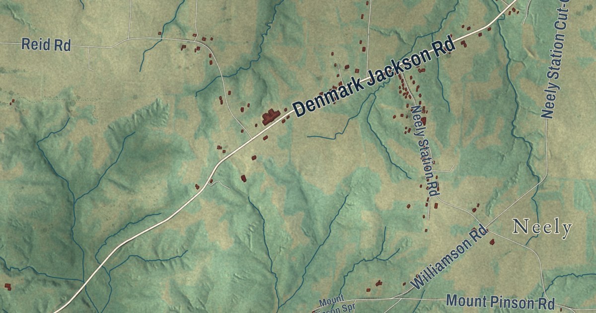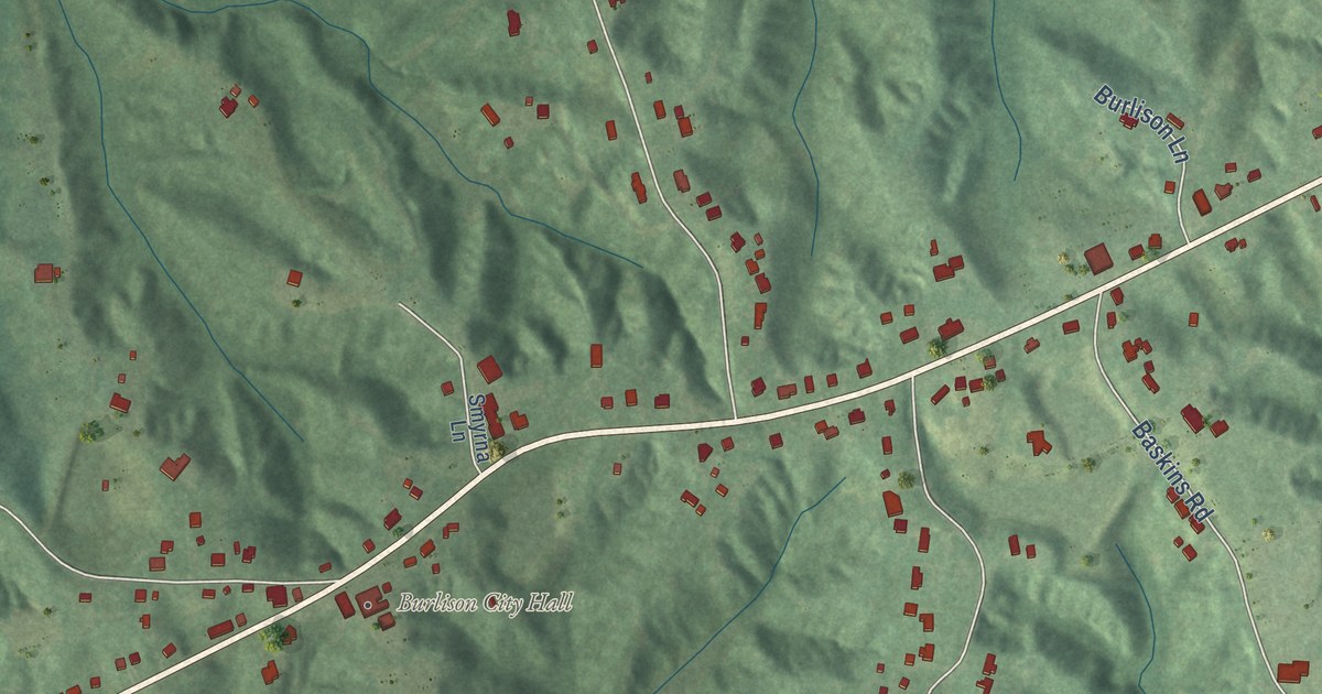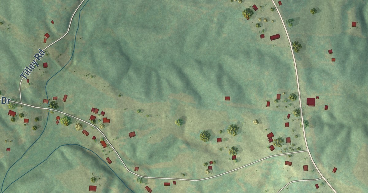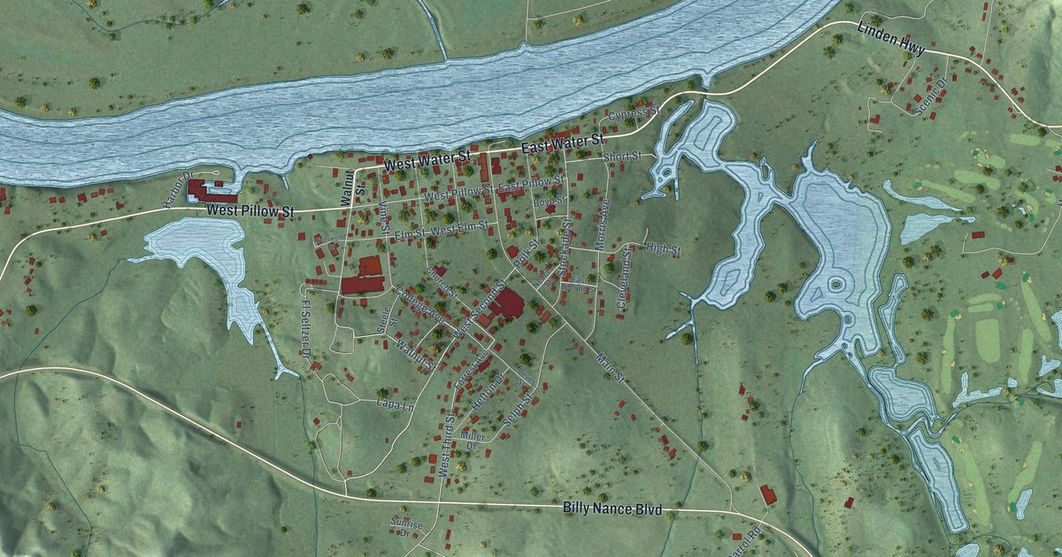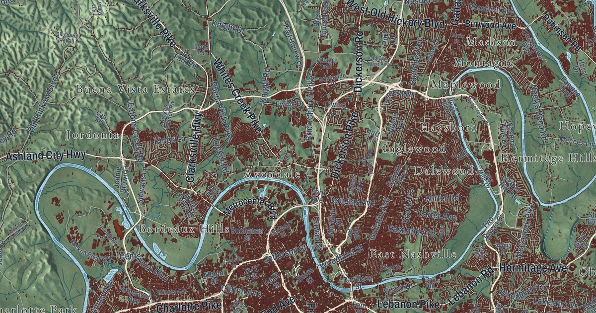
This beautifully detailed map of Nashville, Tennessee was created in 2026 using aerial imagery combined with modern topographical, census, street and landmark data. It’s a one-of-a-kind view of Nashville that combines accurate data with a vintage aesthetic. The map shows every building in its true location, many of the roads carry their names, and the shaded topographic relief shows the shape of the land.
Explore an aerial view of Nashville, Tennessee
On the map you’ll find Anderson Bluff, Atchinsons Gap, Backbone Ridge, Bear Hollow, Anderson Lake, Blue Water Lake, Amqui, Antioch, Avondale, Bakers, Bakertown, Bellevue, and more. If you look closely you can even find your house accurately drawn in its correct location. Zoom in on the preview to look for yours.
Did you know this piece of Nashville, Tennessee history?
From Tennesseeencyclopedia.net: "The county seat, Nashville, is also the oldest permanent white settlement in Middle Tennessee, founded by James Robertson and John Donelson during the winter of 1779-80."
Take a closer look at the Nashville map
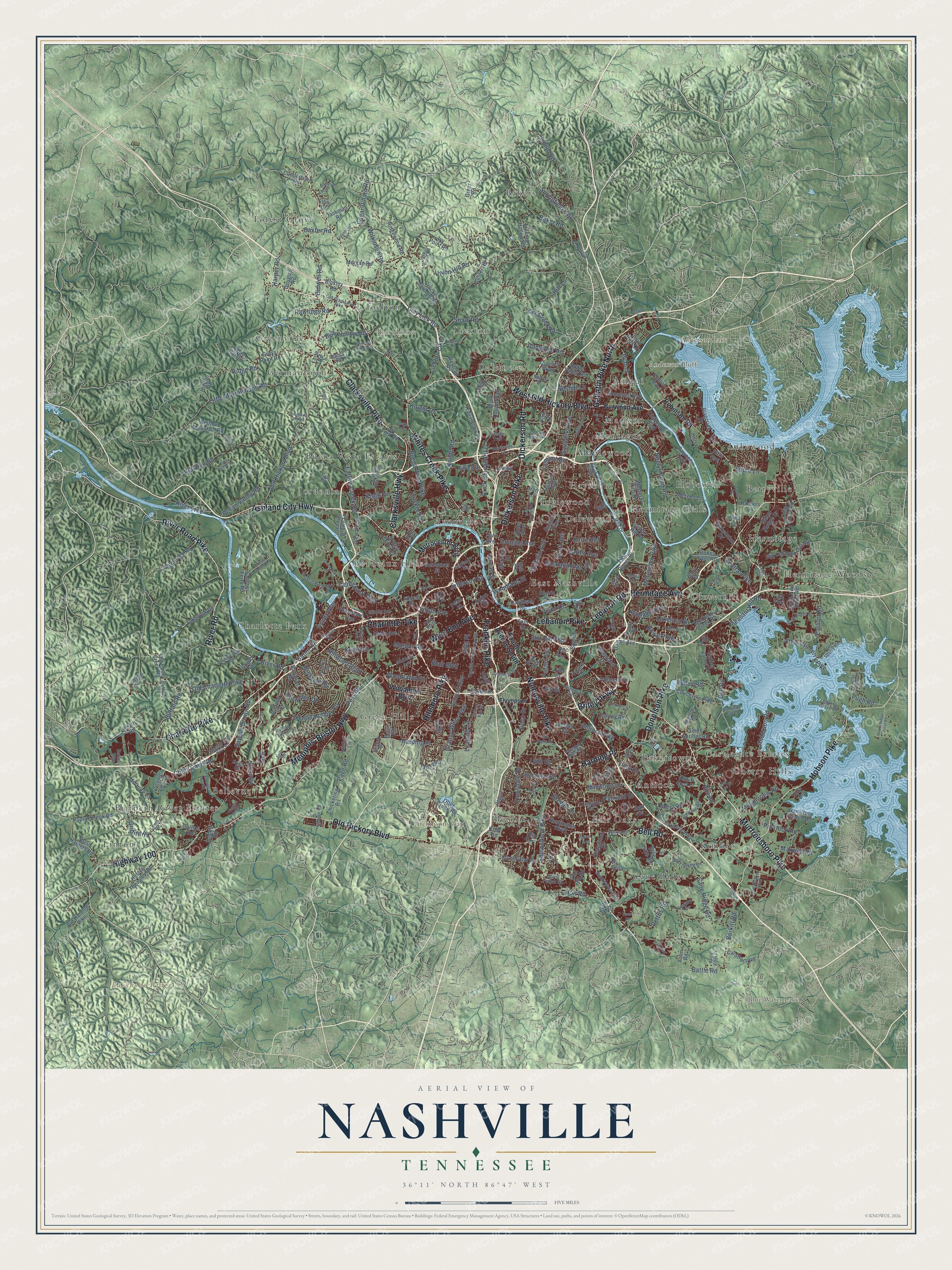
Street and place names on the Nashville, Tennessee map
These names are printed on the map of Nashville, Tennessee.
Places: Anderson Bluff, Atchinsons Gap, Backbone Ridge, Bear Hollow, Anderson Lake, Blue Water Lake, Amqui, Antioch, Avondale, Bakers, Bakertown, Bellevue, Benbar, Berryville, Bordeaux Hills, Buena Vista Estates, Cane Ridge, Castlegate Estates, Charlotte Park, Cherry Hills, Cloverhill, Dalemere, Dalewood, East Nashville, Fair Oaks, Forest Grove, Germantown, Green Hills, Greenville, Harpeth River Estates, Haysboro, Hermitage, Hermitage Hills, Hermitage Woods, Hopewell, Inglewood, Ivy Point, Joelton, Jordonia, Kimbro, Lakewood, Lickton, Linton, Madison, Maplewood, Montague and Brick Church Park.
Streets and roads: Clarksville Pike, Murfreesboro Pike, Charlotte Pike, Ashland City Highway, Nolensville Pike, Dickerson Pike, Memphis-Bristol Highway, Dickerson Road, Hillsboro Pike, Gallatin Pike North, Franklin Pike, West End Avenue.
More street names, A to Z
21st Avenue, 30th Street, Acorn Drive, Albion Street, Allen Road, Alvin Sperry Road, Anderson Road, Annex Avenue, Antioch Pike, Apple Valley Road, Baker Road, Bakers Grove Road, Barker Road, Barnes Road, Bart Drive, Baton Rouge Drive, Battle Ridge Lane, Battle Road, Baxter Road, Beacon Drive, Bear Hollow Road, Bell Road, Belmont Boulevard, Benzing Road, Bianco Road, Bidwell Road, Binkley Road, Blackman Road, Blair Boulevard, Blueberry Hill Road, Blue Hole Road, Bluff Road, Brandau Road, Bresslyn Road, Brewer Drive, Brick Church Pike, Bridle Drive, Briley Parkway, Brownlee Drive, Brush Hill Road, Buchanan Street, Buena Vista Pike, Buffalo Road, Bull Run Road, Burkitt Road, Burwood Avenue, Bush Road, Cabin Hill Road, Cabot Drive, Call Hill Road, Campbell Road, Cane Ridge Road, Carothers Road, Carter Avenue, Cato Road, Cave Road, Cedarmont Drive, Centennial Boulevard, Centennial Place, Central Pike, Cheyenne Boulevard, Chickering Road, Clarksville Highway, Clay Lick Road, Cleeces Ferry Road, Cliff Drive, Clifton Avenue, Cloverland Drive, Cockrill Bend Boulevard, Coley Davis Road, Collins Road, Coopertown Road, Couchville Pike, Cowan Street, Craighead Street, Creek Trail Drive, Crocker Springs Road, Cub Creek Road, Cunniff Parkway, Currey Road, Dabbs Avenue, Davidson Drive, Davidson Street, Donelson Pike, Dory Drive, Douglas Avenue, Douglas Road, Doverside Drive, Drakes Branch Road, Dry Creek Road, Dry Fork Road, Duffield Road, Earhart Road, Eastland Avenue, Eatons Creek Road, Edgar Dillard Road, Edinburgh Drive, Edmondson Pike, Electric Avenue, Ellis Drive, Elm Hill Pike, Erin Lane, Ermac Drive, Estes Road, Ewing Drive, Ewing Lane, Ezell Pike, Fain Street, Fann Road, Fern Avenue, Foothill Drive, Forest View Drive, Forte Road, Foster Avenue, Fourth Avenue South, Freeman Hollow Road, Frist Boulevard, Frontier Lane, Gale Lane, Gallatin Avenue, Gallatin Pike, Garfield Street, General Bate Drive, George East Horn Road, Gibson Drive, Glenrose Avenue, Gower Road, Grady Lane, Granny White Pike, Granny Wright Lane, Grays Point Road, Greeley Drive, Greenbrier Road, Greer Road, Griffith Road, Hamilton Church Road, Hamilton Creek, Harding Place, Harper Road, Harpeth Bend Drive, Harris Street, Hart Lane, Haywood Lane, Heath Road, Heil Quaker Boulevard, Hermitage Avenue, Hester Beasley Road, Hickory Hollow Parkway, Hicks Road, Higdon Road, Highway 100, Hill Avenue, Hill Road, Hills Lane, Hillwood Boulevard, Hitt Lane, Hobson Drive, Hobson Pike, Holt Road, Huntington Parkway, Hurst Drive, Hutson Avenue, Hydes Ferry Road, Idaho Avenue, Illinois Avenue, Ingram Road, Ivey Point Road, Ivy Drive, Ivy Point Road, Jackman Road, Jacksonian Drive, Jay Street, Jefferson Street, Jennie Brown Lane, Jenry Drive, Jocelyn Hollow Road, John Hager Road, Jones Avenue, Keeton Avenue, Kelly Road, Kings Lane, Kirby Hill Road, Knight Drive, Knight Road, Knob Road, Lakeland Drive, Lake Parkway, Lakeview Drive, Laws Road, Lealand Lane, Lebanon Pike, Lebanon Road, Legacy Drive, Lemont Drive, Lewis Road, Lickton Pike, Little Marrowbone Road, Lloyd Road, Lone Oak Road, Luna Drive, Luster Road, Lyle Lane, Lynn Drive, Macauley Lane, Marchant Drive, Margo Lane, Massman Drive, Maxwell Road, McCall Street, McCrory Creek Road, McCrory Lane, McGavock Pike, Mc Nally Drive, Menees Lane, Meridian Street, Metrocenter Boulevard, Morgan Road, Morton Mill Road, Moss Road, Mount Pisgah Road, Mount View Road, Murphy Road, Music Valley Drive, Myatt Drive, Neelys Bend Road, Neill Avenue, Nesbitt Drive, Nesbitt Lane, Nichol Lane, Oakwood Avenue, Oceola Avenue, Old Charlotte Pike, Old Clarksville Pike, Old Due West Avenue, Old Franklin Road, Old Harding Pike, Old Hickory Boulevard, Old Lebanon Dirt Road, Old Pond Creek Road, Old Springfield Pike, Olivia Drive, Opry Mills Drive, Otter Creek Road, Packard Drive, Page Road, Paragon Mills Road, Park Circle, Park Plaza, Pasquo Road, Patio Drive, Pawnee Trail, Pearl Street, Pebble Creek Drive, Pecan Valley Road, Peeples Court, Pettus Road, Pine Valley Road, Pin Hook Road, Pitts Avenue, Pleasant Hill Road, Polk Avenue, Pond Creek Road, Poplar Creek Road, Port Drive, Porter Road, Post Road, Potter Lane, Premier Drive, Pugh Road, Pulley Road, Rachels Lane, Rawlings Road, Regent Drive, Reynolds Road, Rice Road, Ridge Hill Road, Ridge Road, Ridgewood Road, Riley Adcock Road, River Road, River Road Pike, Riverside Drive, River Trce, Robertson Avenue, Robinson Road, Rodney Drive, Rolling Fork Drive, Roosevelt Avenue, Rossi Road, Royal Parkway, Rural Hill Road, Saunders Avenue, Sawyer Brown Road, Scenic View Drive, School Lane, Scott Avenue, Scovel Street, Selma Drive, Settlers Way, Seymour Hollow Road, Shaw Road, Shire Drive, Shute Lane, Sidco Drive, Smith Springs Road, South Harpeth Road, South Mount Juliet Road, South New Hope Road, Spence Lane, Springfield Highway, Stewarts Ferry Pike, Stewarts Lane, Stones River Road, Stringfellow Road, Summit Oaks Drive, Sunnywood Drive, Swiss Avenue, Temple Road, Thompson Lane, Tidwell Hollow Road, Timber Valley Drive, Tinnin Road, Tony Road, Trail Hollow Lane, Trousdale Drive, Tucker Road, Tulip Grove Road, Turley Drive, Tusculum Road, Twelfth Avenue South, Twin Hills Drive, Two Rivers Court, Tyne Boulevard, Union Hill Road, Union Street, Vaulx Lane, Village Trail, Villa Place, Visco Drive, Vultee Boulevard, Westcap Road, Western Hills Drive, West Old Hickory Boulevard, Whites Creek Pike, Whitland Avenue, Whitlow Mountain Road, Wilkinson Road, Woodberry Drive, Woodland Street, Woodlawn Drive, Woodmont Boulevard, Woods Street.
See the Nashville, Tennessee map on a wall
The Nashville map as an 18 x 24 inch print in a black frame.

This beautifully detailed map of Nashville makes an attractive addition to your office, library, or den, and it can even be used to teach children the geography and history of the area. It also makes a great gift for anyone with Nashville roots. When you’re done exploring, click here to get your copy of the Nashville map.