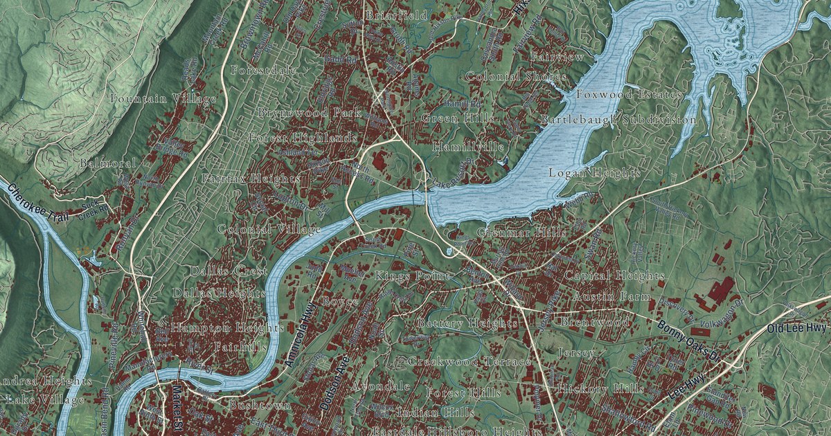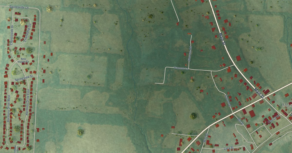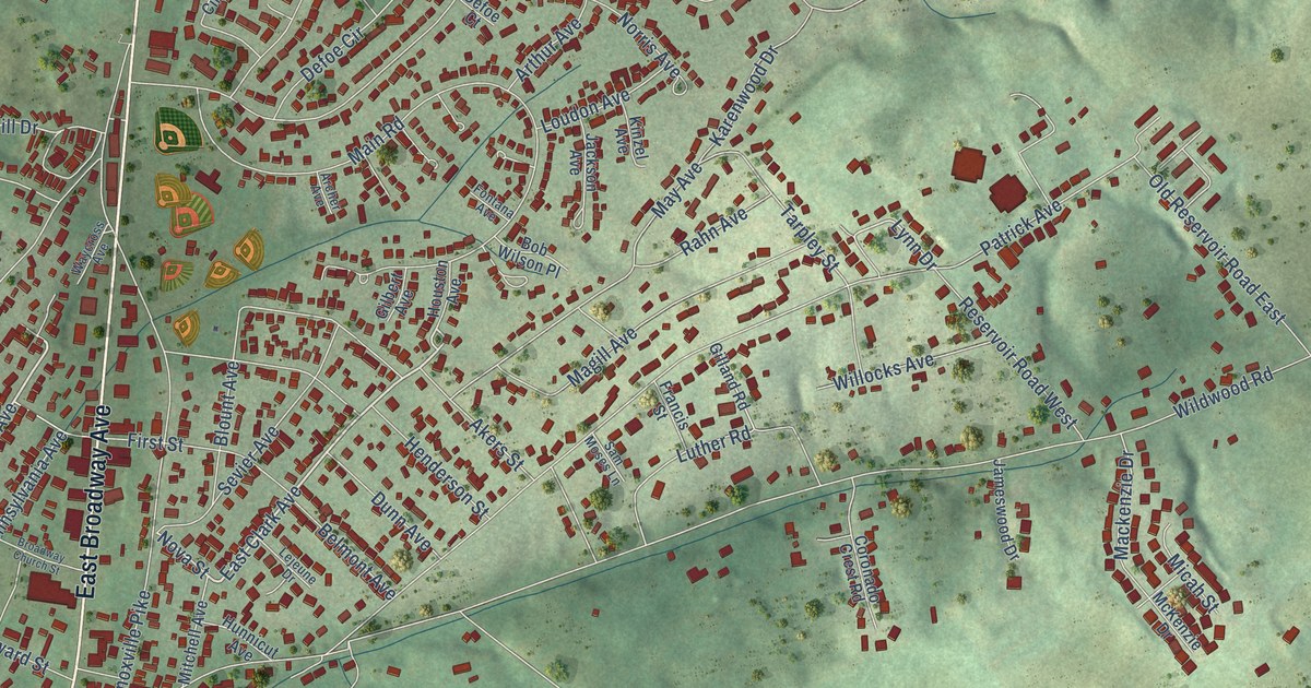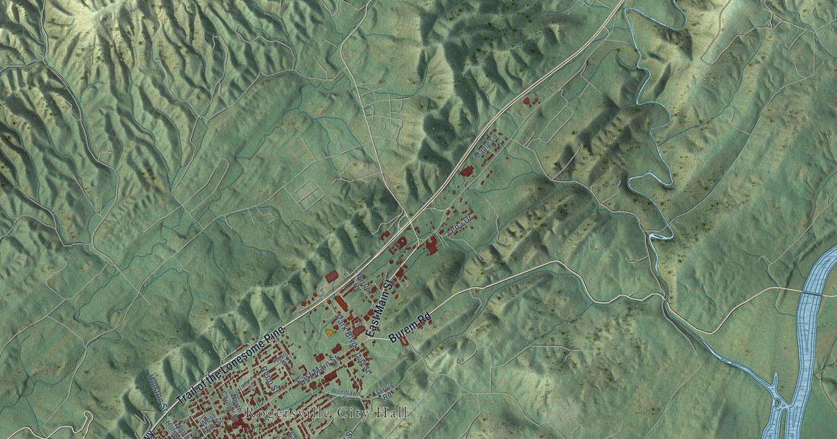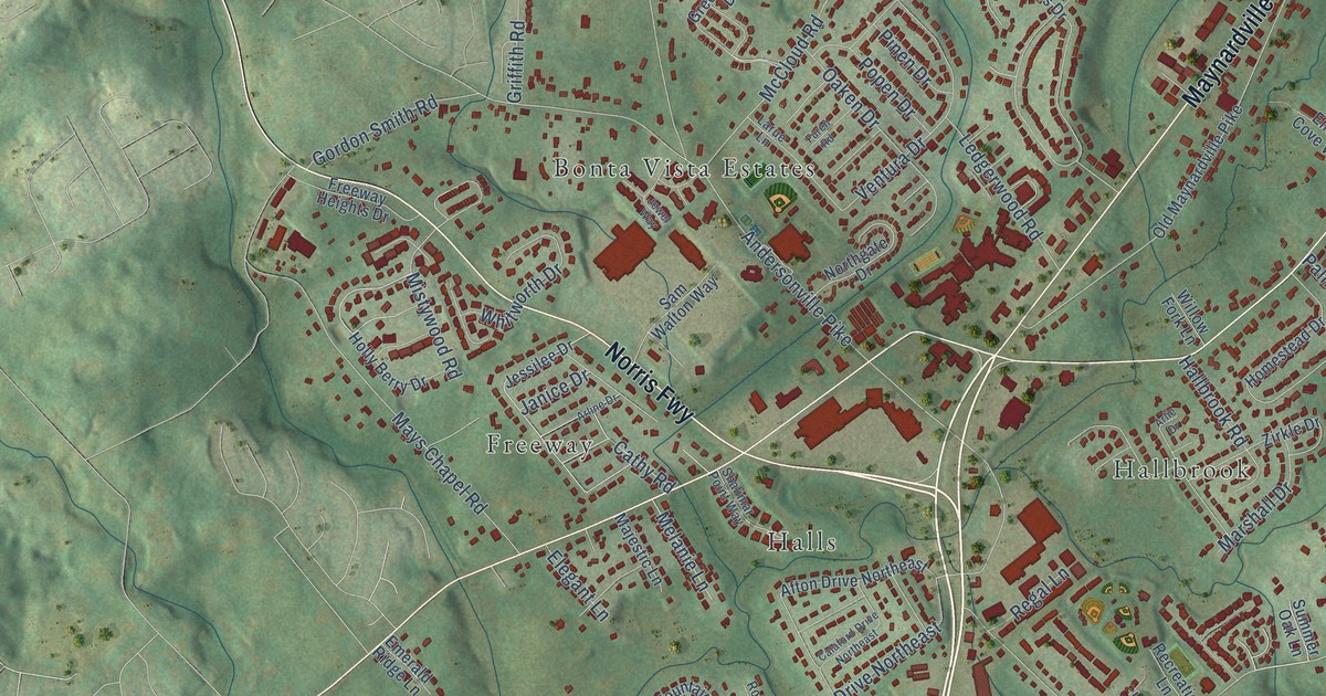
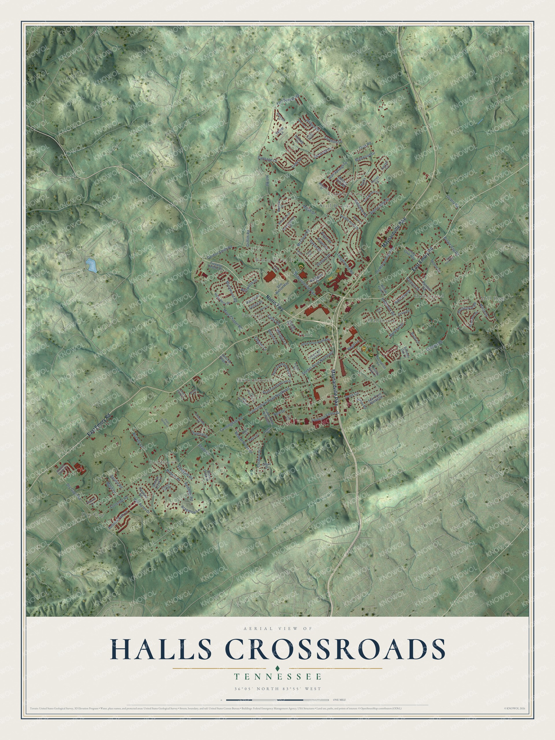
This beautifully detailed map of Halls Crossroads, Tennessee was created in 2026 using aerial imagery combined with modern topographical, census, street and landmark data. It's a modern aerial view of Halls Crossroads in Knox County, Tennessee, that combines modern data with a vintage aesthetic. The roads feature printed names, and if you look closely you can find your exact house accurately shown in its correct location.
Explore an aerial view of Halls Crossroads, Tennessee
On this map you'll find Dixon Springs Farm, Bonta Vista Estates, Dry Gap, Fieldview, Fountaincrest, Freeway, Hallbrook, Halls, Homestead, Mill Run, Still Brook, Temple Acres, and more. Each red shape is a building, so zoom in on the preview and look for yours.
Here is a piece of Halls Crossroads history, in the words of the record. The Knox Focus puts it this way: "The Hall family opened the first businesses in the area: a store, inn and a blacksmith shop. Soon people began calling the settlement Halls Crossroads, for the meeting of what was to become Dixie Highway and Emory Road, now Maynardville Highway and Emory Road."
Halls Crossroads is a community in Knox County. The Census Bureau counted 10,341 people here in 2020.
Take a closer look at the Halls Crossroads map
Names on this map
These names are printed on this map.
Places: Dixon Springs Farm, Bonta Vista Estates, Dry Gap, Fieldview, Fountaincrest, Freeway, Hallbrook, Halls, Homestead, Mill Run, Still Brook and Temple Acres.
Streets and roads: East Emory Road, Maynardville Pike, Norris Fwy, Crippen Road, Cunningham Road, McCloud Road, Hill Road, Andersonville Pike, Dry Gap Pike, Brown Gap Road, Gray Road, Cunningham Road Northeast.
More street names, A to Z
Adrian Road, Afton Drive Northeast, Alan Springs Lane, Ambassador Place, Arapahoe Lane, Arlie Drive, Arline Drive, Autumn Path Lane, Basenger Drive, Beaver Brook Drive, Bethany Hills Road, Birdie Lane, Bittersweet Road, Blairwood Drive, Bogie Lane, Brickey Lane, Bucknell Drive, Cabbage Lane, Calaford Drive Northeast, Cathy Road, Chariot Lane, Cobblestone Circle, Cochise Drive, Cody Lane, Council Fire Drive, Dixon Springs Lane, Doris Circle, East Chermont Circle, Elegant Lane, Emerald Pointe Lane, Emerald Ridge Lane, Emory Cove Way, Emory Pointe Lane, Ferndale Road, Foothills Drive, Forrester Road, Fort Sumter Road, Fountain Valley Drive, Fraker Road, Fraker Road Northeast, Freeway Heights Drive, Fringe Tree Drive, Furen Road, Gordon Smith Road, Greenspace Drive, Griffith Road, Hall Acres Drive, Hallbrook Road, Hallsdale Road, Harrell Circle, Harrell Lane, Holliday Park Lane, Holly Berry Drive, Homestead Drive, Hooks Lane, Imperial Drive, Jade Tree Lane, Janice Drive, Jessilee Drive, Jewel Way, Joshua Road, Larue Lane, Ledgerwood Road, Maize Drive, Majestic Lane, Marshall Drive, Mash Lane, Mays Chapel Road, Medaris Drive, Melanie Lane, Micah Drive, Mistywood Road, Mulberry Road, Neal Drive, North Fountaincrest Drive, Northgate Drive, Nutmeg Circle, Oaken Drive, Old Maynardville Pike, Ottari Drive, Palmleaf Road, Palmyra Drive, Periwinkle Road, Pinen Drive, Popen Drive, Quarry Road, Recreation Lane, Reddege Road, Regal Lane, Resolute Road, Rival Lane, Rollins Road, Sam Walton Way, Scenic View Drive, Seeber Drive Northeast, Shadow Creek Lane, Shady Lane, Shalimar Point Way, South Fountaincrest Drive, Spar Drive Northeast, Spurlin Road, Stone Creek Drive, Summer Oak Lane, Sweet Lane, Tee Lane, Temple Acres Drive, Teras Point Way, Thomas Lane, Tice Lane, Vassar Lane, Ventura Drive, Webster Drive, West Chermont Circle, Whitworth Drive, Williamson Drive, Willow Fork Lane, Zirkle Drive.
Created by KNOWOL in 2026. The buildings are small red shapes, the roads carry their printed names, and shaded relief shows the shape of the land. The title panel reads "AERIAL VIEW OF HALLS CROSSROADS TENNESSEE" with 36°05' NORTH 83°55' WEST.
It suits a den, a classroom or a front hall, and it makes a gift for anyone with Halls Crossroads roots. Open the preview and find the block you know. See sizes and frames for the Halls Crossroads map.