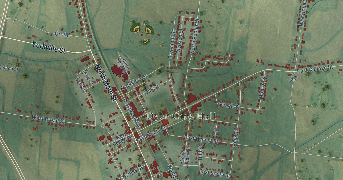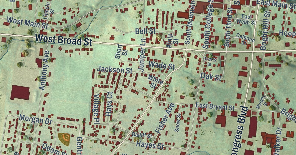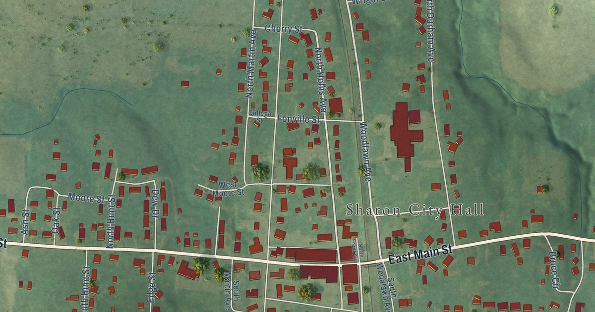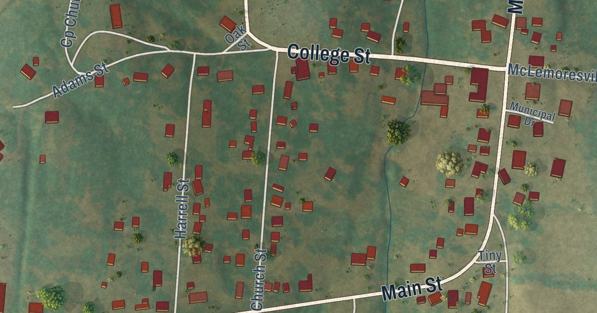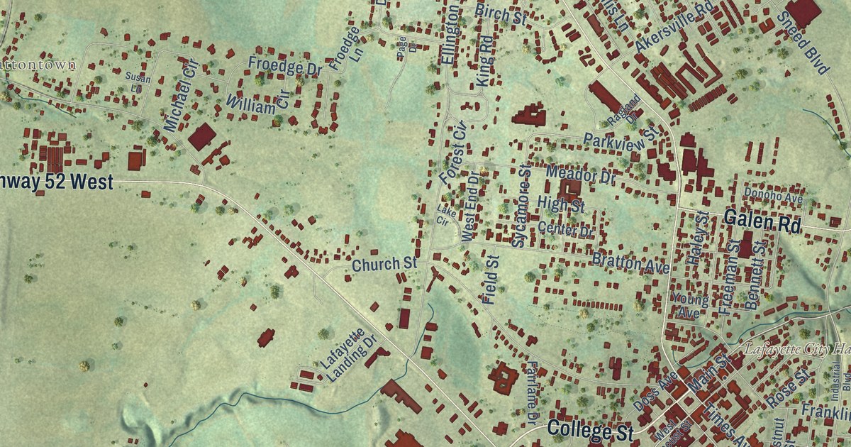
This beautifully detailed map of Lafayette, Tennessee was created in 2026 using aerial imagery combined with modern topographical, census, street and landmark data. It’s a one-of-a-kind view of Lafayette that combines accurate data with a vintage aesthetic. The map shows every building in its true location, many of the roads carry their names, and the shaded topographic relief shows the shape of the land.
Explore an aerial view of Lafayette, Tennessee
On the map you’ll find Lafayette City Hall and Brattontown, along with College Street, Highway 52 East, Highway 52 West, Scottsville Road, Galen Road, Red Boiling Springs Road, Main Street, Times Avenue, Industrial Drive, Days Road, and more. If you look closely you can even find your house accurately drawn in its correct location. Zoom in on the preview to look for yours.
Did you know this piece of Lafayette, Tennessee history?
From Tennesseeencyclopedia.net: "Lafayette, the largest community in the county and the county seat, was named for the French general and hero of the American Revolution, Marie Joseph Gilbert de Motier, Marquis de Lafayette."
Take a closer look at the Lafayette map
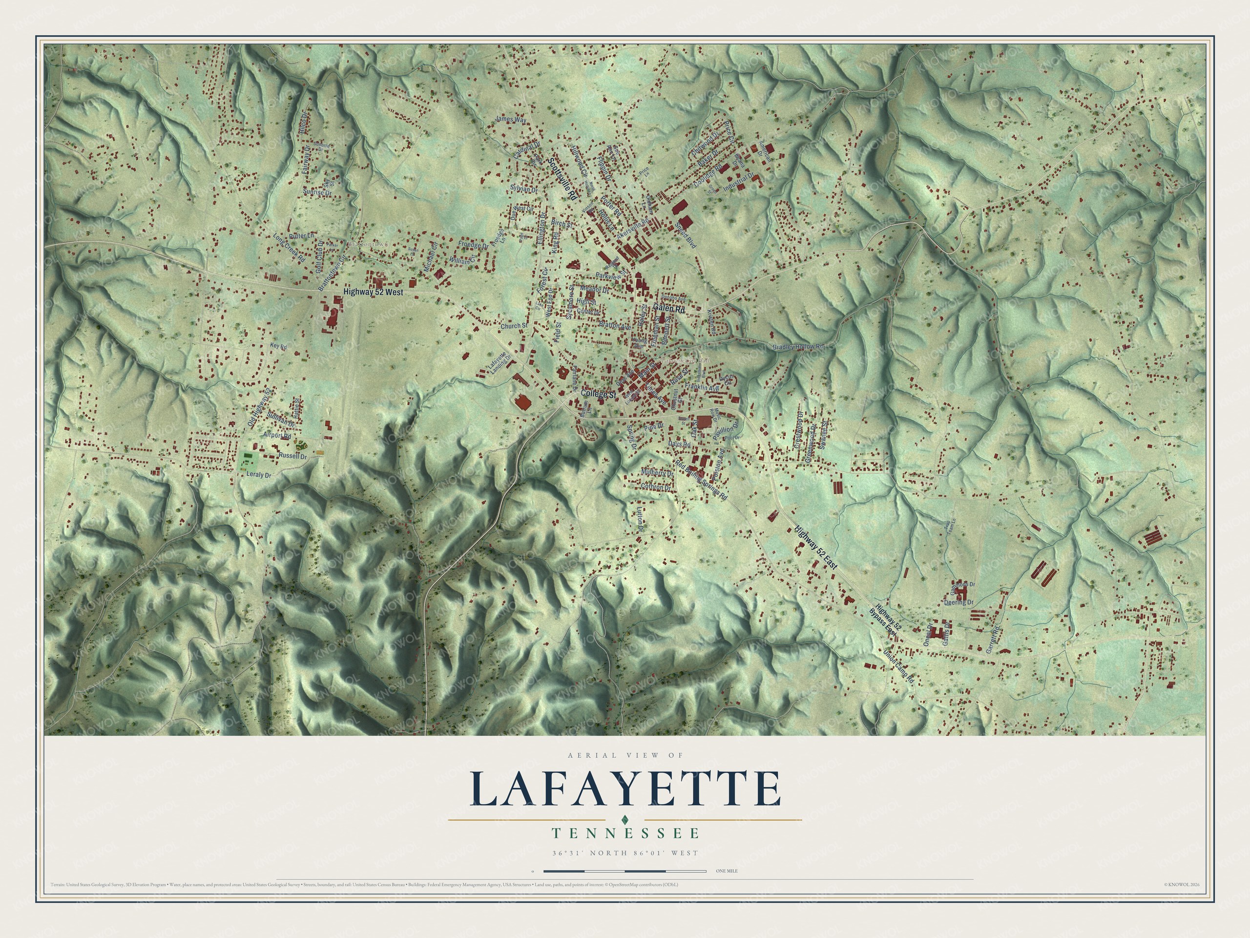
Street and place names on the Lafayette, Tennessee map
These names are printed on the map of Lafayette, Tennessee.
Places: Lafayette City Hall and Brattontown.
Streets and roads: College Street, Highway 52 East, Highway 52 West, Scottsville Road, Galen Road, Red Boiling Springs Road, Main Street, Times Avenue, Industrial Drive, Days Road, Ellington Drive, Sneed Boulevard.
More street names, A to Z
Airport Road, Akersville Road, American Drive, Baker Drive, Beana Drive, Bennett Street, Birch Street, Bradley Hollow Road, Bratton Avenue, Brattontown Circle, Butrum Lane, Cardinal Drive, Center Drive, Chestnut Street, Chitwood Drive, Church Street, Coolidge Road, Cothron Drive, Crestwood Drive, Deering Drive, Donoho Avenue, Doss Avenue, Due West Circle, Dycus Circle, Fairlane Drive, Fairway Drive, Field Street, Flippin Drive, Forest Circle, Franklin Avenue, Freeman Street, Froedge Drive, Froedge Lane, Gammons Drive, Garrett Road, Gattis Drive, Golf Club Drive, Green Street, Greenwood Drive, Haley Street, Hattie Street, High Street, Highway 52 Bypass East, Hilco Drive, Hillwood Circle, Hollis Lane, Industrial Boulevard, James Way, Key Road, King Road, Kristen Road, Lafayette Landing Drive, Lake Circle, Leraly Drive, Long Creek Road, Lutton Drive, Meador Drive, Michael Circle, Mulberry Drive, Music Row Drive, North Hollis Lane, Oak Street, Oldham Lane, Old Highway 52, Oneal Drive, Page Drive, Park Circle, Parker Lane, Parkview Street, Pavillion Drive, Pine Drive, Polston Avenue, Pool Drive, Porter Road, Price Circle, Price Lane, Putter Lane, Ragland Drive, Rose Street, Russell Drive, Sewell Street, Sky Street, Sonoma Drive, Spring Drive, Sue Ann Lane, Sullivan Drive, Sunrise Drive, Susan Lane, Swanee Street, Sycamore Street, Sylvian Drive, Trap Team Lane, Union Camp Road, Vinson Road, West End Drive, West Locust Street, William Circle, Young Avenue.
See the Lafayette, Tennessee map on a wall
The Lafayette map as an 18 x 24 inch print in a black frame.

This beautifully detailed map of Lafayette makes an attractive addition to your office, library, or den, and it can even be used to teach children the geography and history of the area. It also makes a great gift for someone who left Lafayette and still calls it home. When you’re done exploring, click here to get your copy of the Lafayette map.