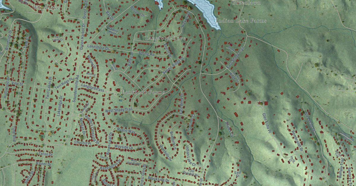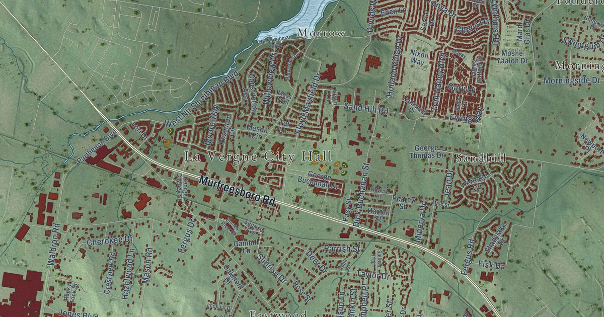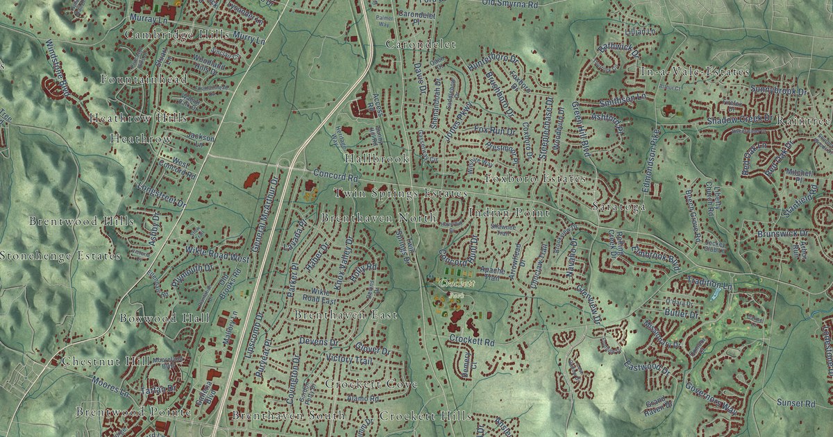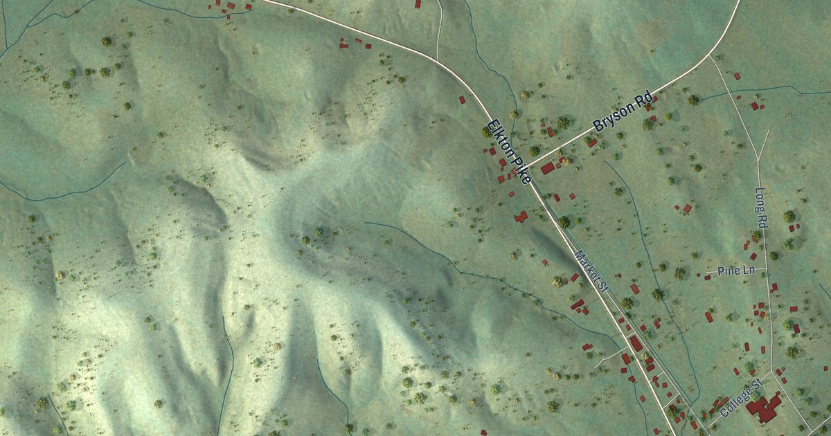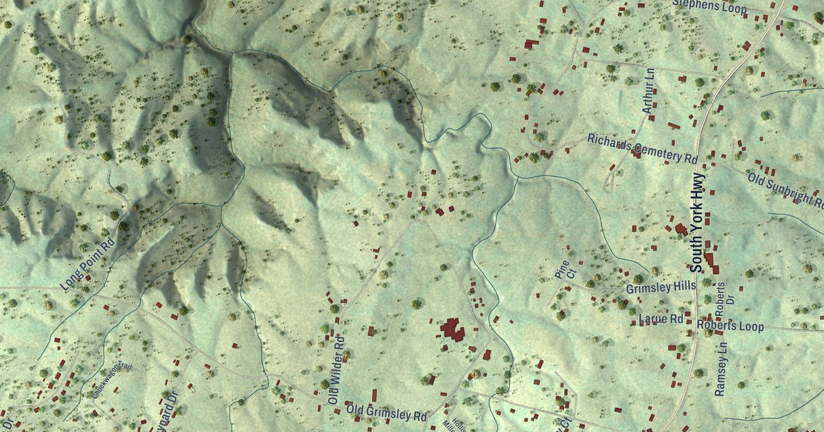
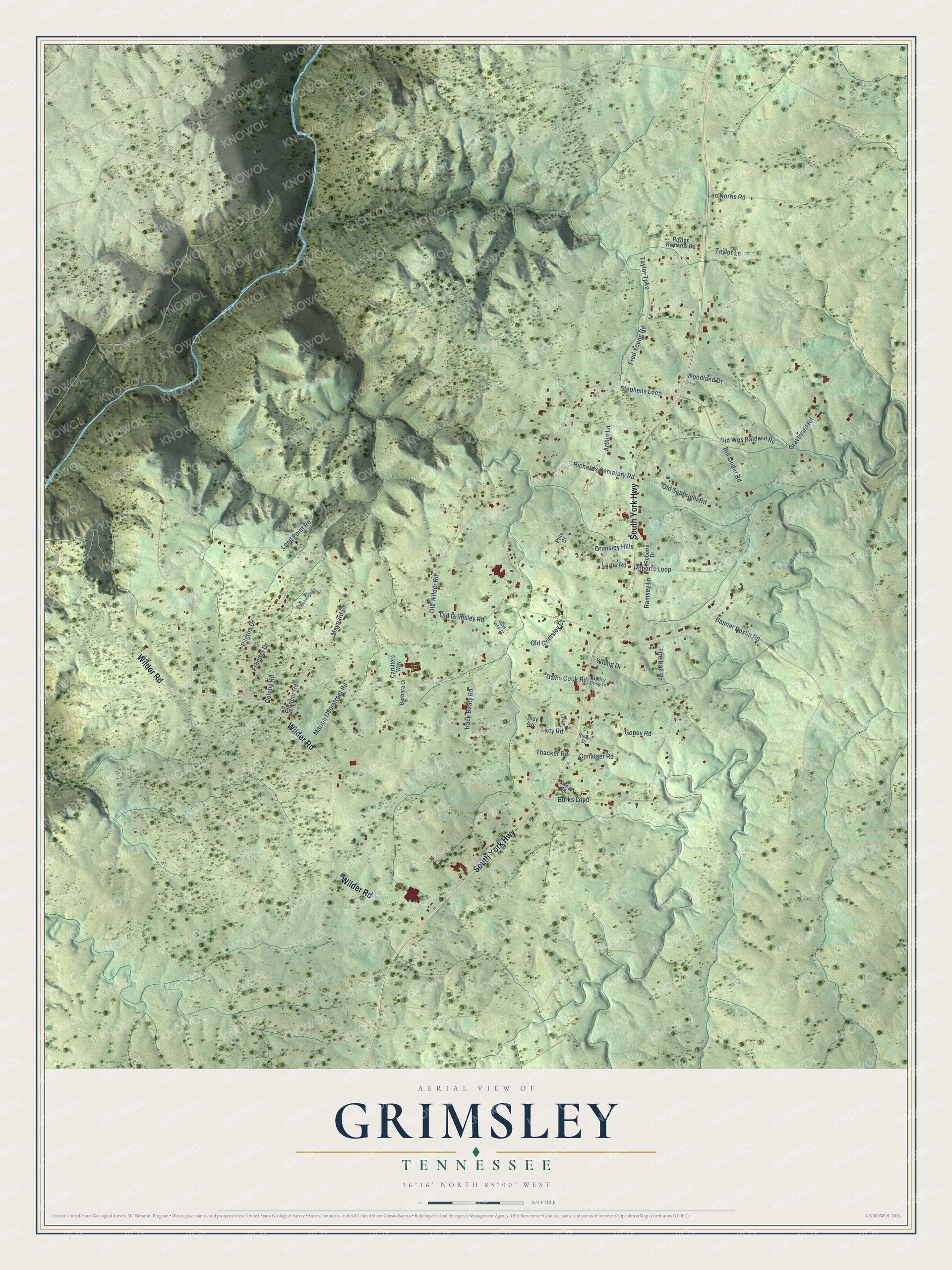
This beautifully detailed map of Grimsley, Tennessee was created in 2026 using aerial imagery combined with modern topographical, census, street and landmark data. It's a modern aerial view of Grimsley in Fentress County, Tennessee, that combines modern data with a vintage aesthetic. The roads feature printed names, and if you look closely you can find your exact house accurately shown in its correct location.
Explore an aerial view of Grimsley, Tennessee
On this map you'll find South York Highway, Wilder Road, Banner Roslin Road, Old Grimsley Road, Old Wilder Road, Stephens Loop, Old Sunbright Road, Leo Norris Road, Burks Loop, Graveyard Road, Richards Cemetery Road, Roberts Loop, and more. Each red shape is a building, so zoom in on the preview and look for yours.
Here is a piece of Grimsley history, in the words of the record. The National Park Service puts it this way: "In 1901, John Hogue moved into the area about twelve miles south of Jamestown and named it Grimsley, in honor of his friend Bart Grimsley."
Grimsley is a place in Fentress County. The Census Bureau counted 1,219 people here in 2020.
Take a closer look at the Grimsley map
Names on this map
These names are printed on this map.
Streets and roads: South York Highway, Wilder Road, Banner Roslin Road, Old Grimsley Road, Old Wilder Road, Stephens Loop, Old Sunbright Road, Leo Norris Road, Burks Loop, Graveyard Road, Richards Cemetery Road, Roberts Loop.
More street names, A to Z
Arthur Lane, Barbara Court, Bill Linder Road, Carulters Way, Cassie Lane, Chuckwagon Trail, Colony Road, Conatser Road, Davis Cook Road, Fire Hall Road, Fred Young Road, Frontier Drive, Goney Road, Grimsley Hills, Guffey Crisp Lane, Hack Beaty Road, Hollis Miller Court, Jody Avenue, Lacy Road, Larue Road, Long Point Road, Marion Overstreet Road, Maynard Drive, Old Grimsley Court, Old Wes Baldwin Road, Payton Richards Road, Pilgrim Drive, Pine Court, Pioneer Road, Ramsey Lane, Rickett Drive, Roberts Drive, Sweat Road, Taylor Lane, Taylor Turnpike, Thacker Road, Woodland Drive, Young Drive.
Created by KNOWOL in 2026. The buildings are small red shapes, the roads carry their printed names, and shaded relief shows the shape of the land. The title panel reads "AERIAL VIEW OF GRIMSLEY TENNESSEE" with 36°16' NORTH 85°00' WEST.
It suits a den, a classroom or a front hall, and it makes a gift for anyone with Grimsley roots. Open the preview and find the block you know. See sizes and frames for the Grimsley map.