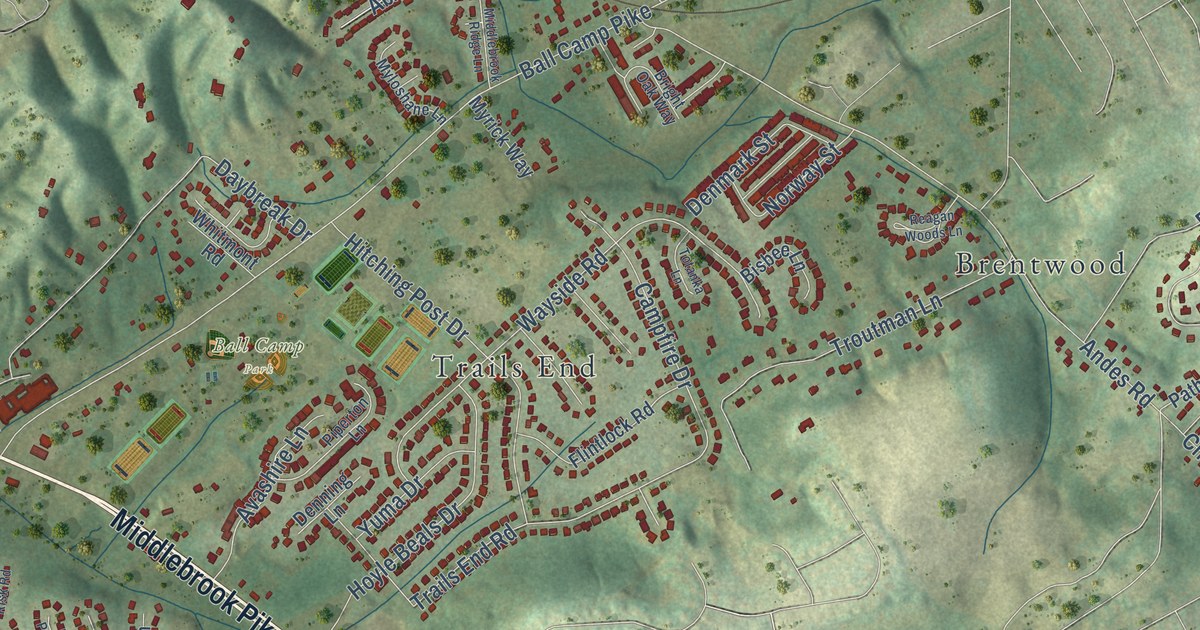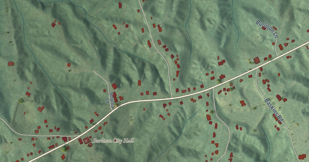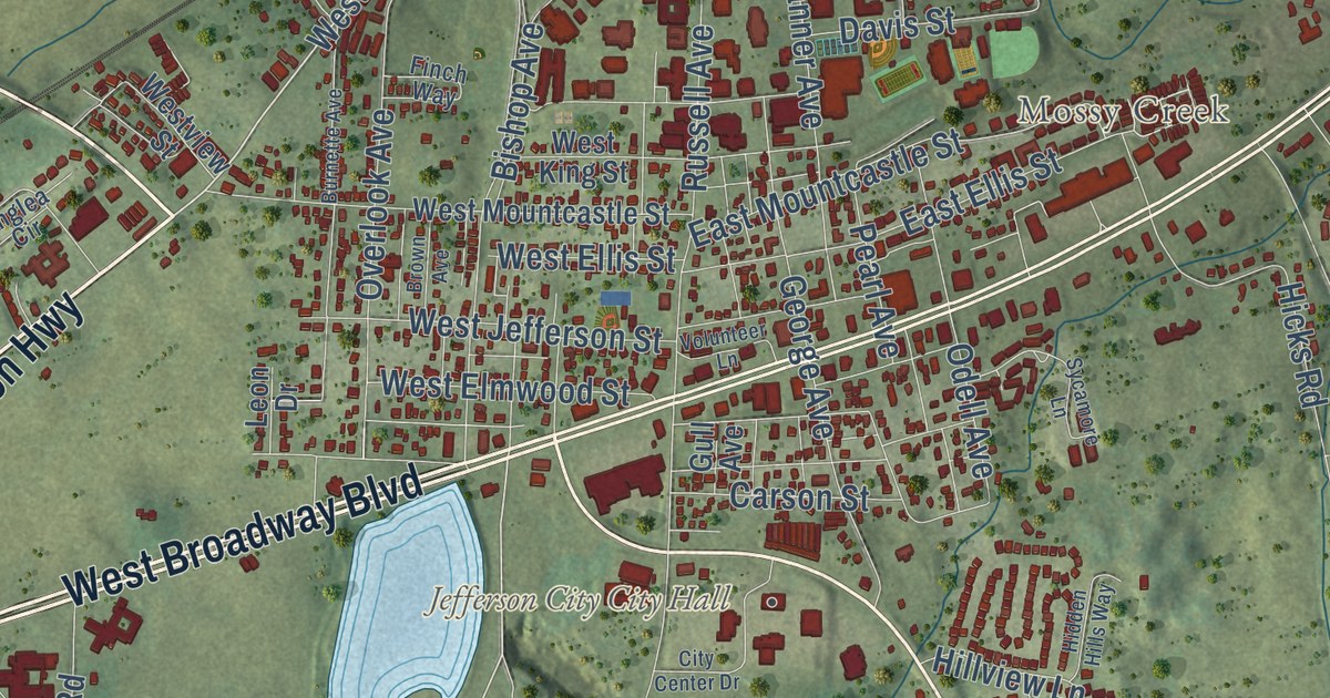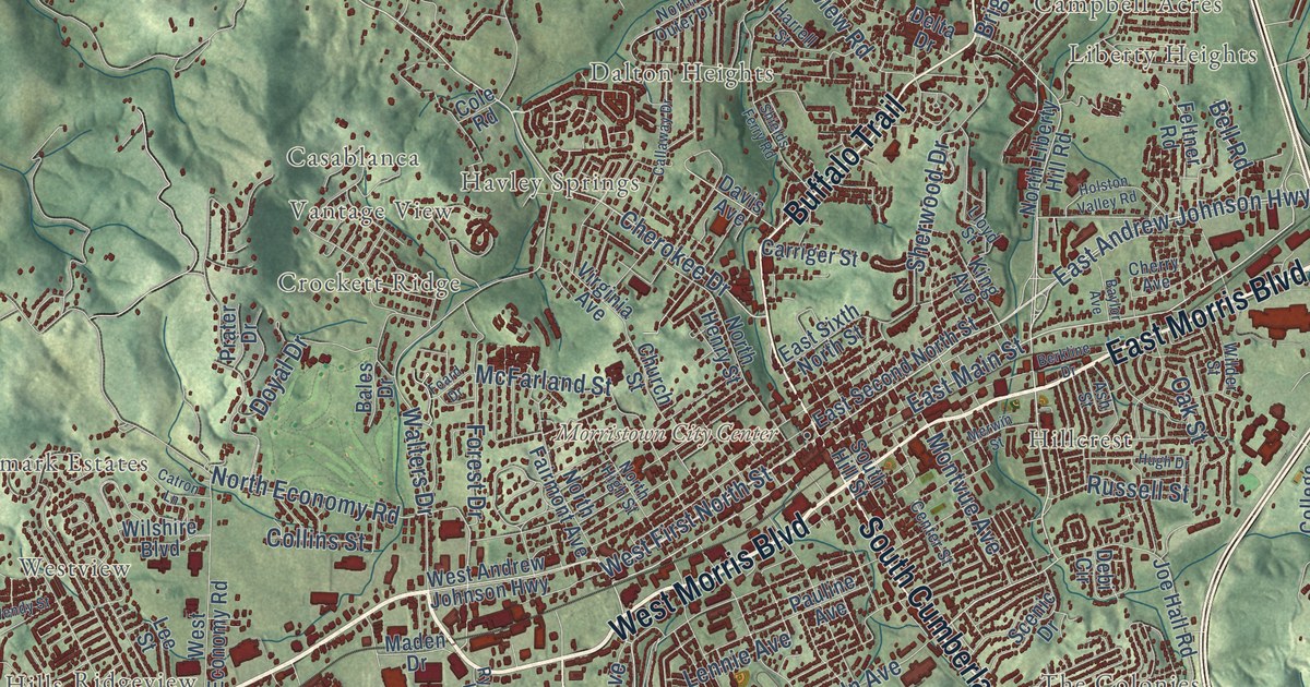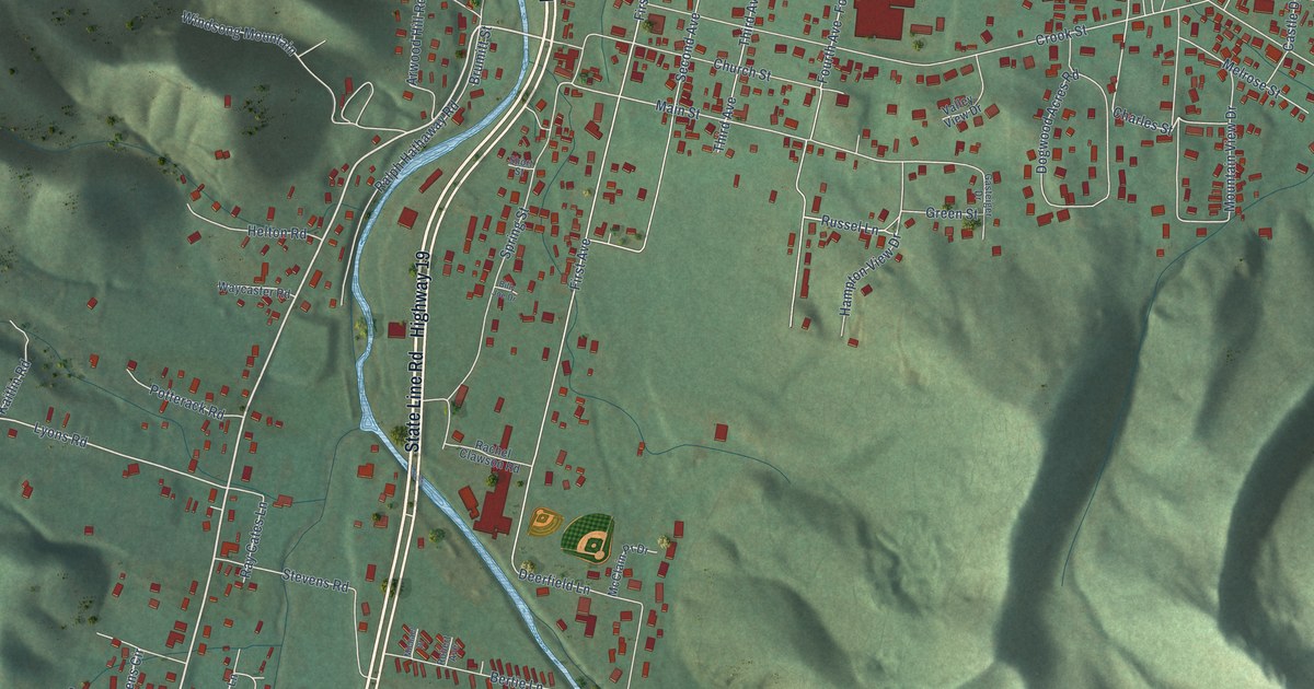
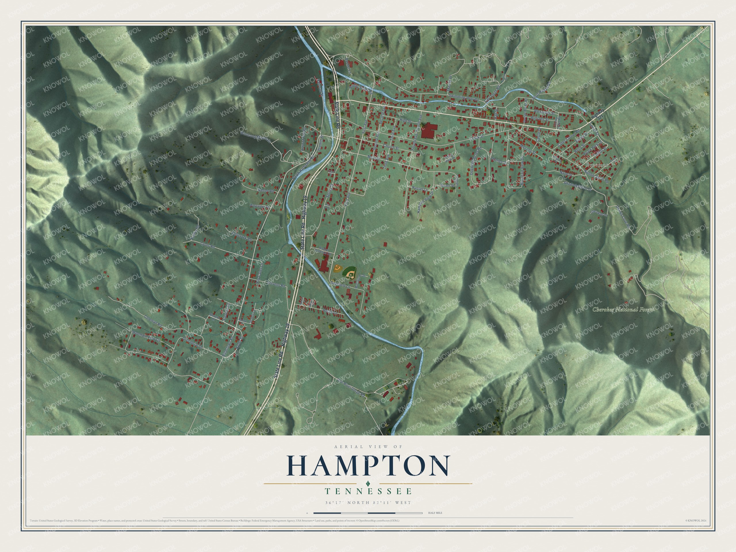
This beautifully detailed map of Hampton, Tennessee was created in 2026 using aerial imagery combined with modern topographical, census, street and landmark data. It’s a one-of-a-kind view of Hampton that combines accurate data with a vintage aesthetic. The map shows every building in its true location, many of the roads carry their names, and the shaded topographic relief shows the shape of the land.
Explore an aerial view of Hampton, Tennessee
On the map you’ll find Braemar and Cherokee National Forest, along with State Line Road, Highway 19, Rittertown Road, Hyder Street, Stevens Circle, Tollett Street, Russel Lane, Carl Smith Road, Dennis Cove Road, Laurel Street, and more. If you look closely you can even find your house accurately drawn in its correct location. Zoom in on the preview to look for yours.
Did you know this piece of Hampton, Tennessee history?
From the Historical Marker Database: "Over the years, most bridges were replaced with steel spans, and by the Great Depression the only wooden bridges left were the two at Hampton."
Take a closer look at the Hampton map
Street and place names on the Hampton, Tennessee map
These names are printed on the map of Hampton, Tennessee.
Places: Braemar and Cherokee National Forest.
Streets and roads: State Line Road, Highway 19, Rittertown Road, Hyder Street, Stevens Circle, Tollett Street, Russel Lane, Carl Smith Road, Dennis Cove Road, Laurel Street, First Avenue, Lyons Road.
More street names, A to Z
Alexander Street, Arwood Hill Road, Bailey Street, Bertie Lane, Betty Street, Billy Joe Drive, Brumitt Street, Buddy Street Road, Castle Drive, Cates Corner Road, Charles Street, Cherokee Lane, Church Street, Coleman Road, Crook Street, Deerfield Lane, Doe River Gorge Road, Dogwood Acres Road, Ed Stout Road, Fourth Avenue, Gasteiger Drive, George Brown Road, Greenbriar Drive, Green Street, Hall Street, Hampton View Drive, Helton Road, High Street, Highway 321, Johnny Lewis Road, Kaitlin Road, Main Street, Marlow Lane, McClain Pr Drive, Melrose Street, Michael Drive, Mountain View Circle, Mountain View Drive, Nannie Smith Road, Nave Drive, Parham Street, Potterack Road, Rachel Clawson Road, Rachel Lane, Railroad Street, Ralph Hathaway Road, Ray Cates Lane, Rhododendron Drive, Roark Park Lane, Robert Avenue, Second Avenue, Short Street, Skeans Drive, Smalling Street, Spring Street, Stevens Lane, Stevens Road, Stout Hollow Road, Streets Lane, Swimming Pool Road, Third Avenue, Valley View Drive, Waycaster Road, Williams Street, Windsong Mountain.
See the Hampton, Tennessee map on a wall
The Hampton map as an 18 x 24 inch print in a black frame.

This beautifully detailed map of Hampton makes an attractive addition to your office, library, or den, and it can even be used to teach children the geography and history of the area. It also makes a great gift for someone who left Hampton and still calls it home. When you’re done exploring, click here to get your copy of the Hampton map.