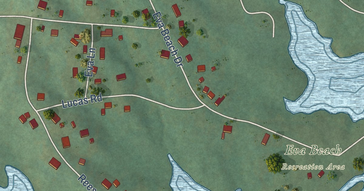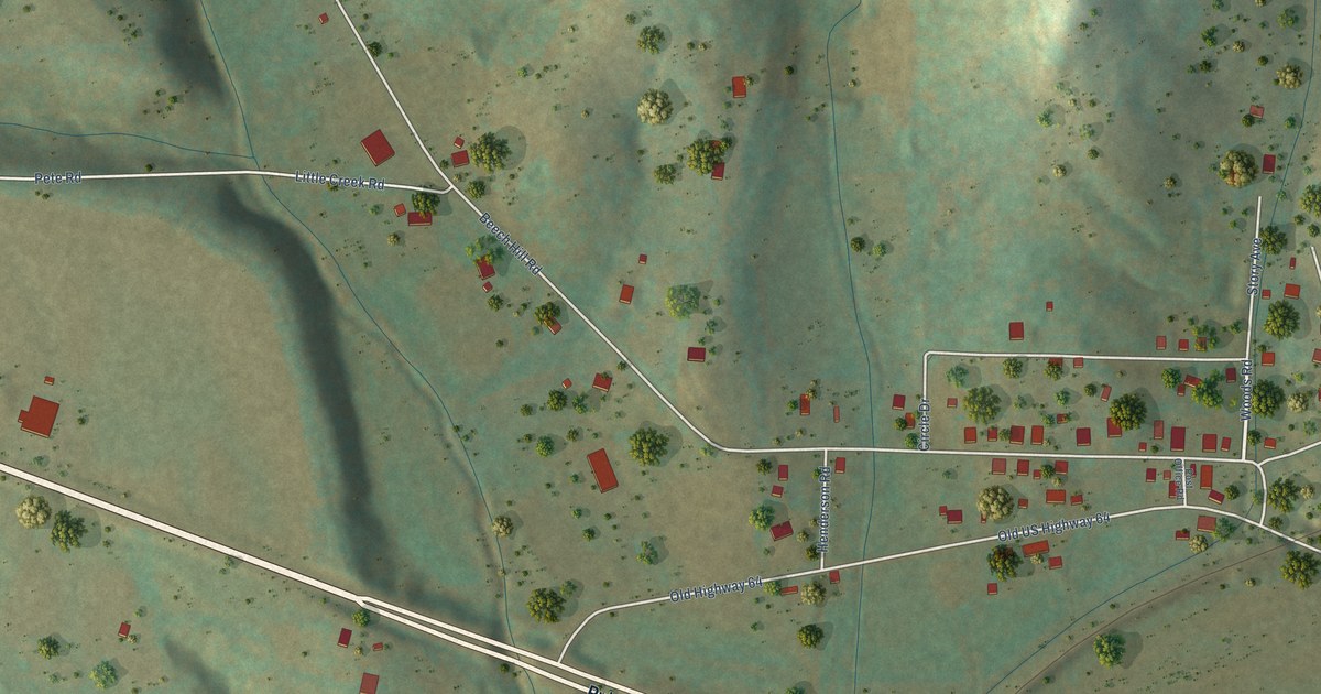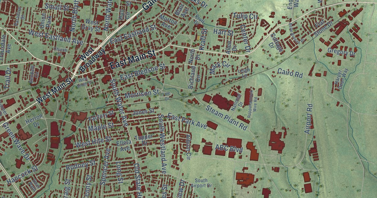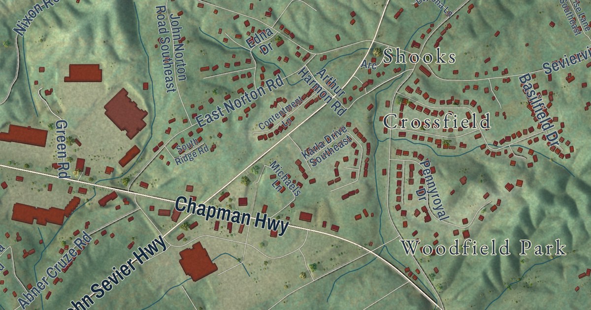
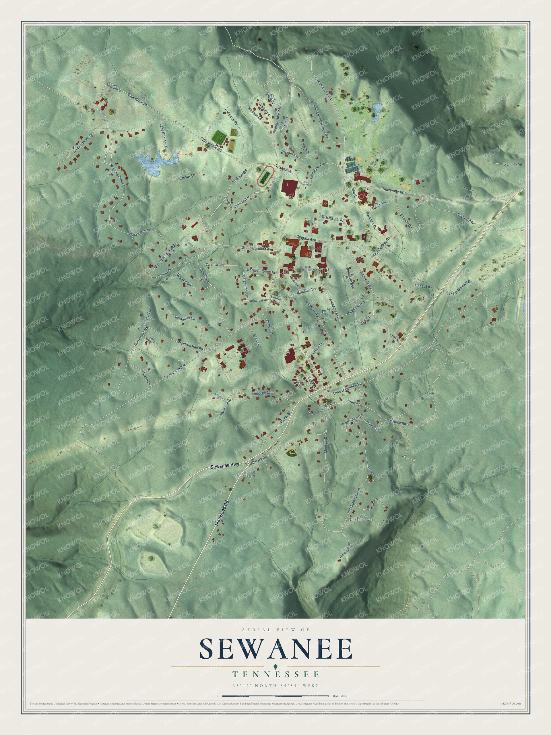
This beautifully detailed map of Sewanee, Tennessee was created in 2026 using aerial imagery combined with modern topographical, census, street and landmark data. It’s a one-of-a-kind view of Sewanee that combines accurate data with a vintage aesthetic. The map shows every building in its true location, many of the roads carry their names, and the shaded topographic relief shows the shape of the land.
Explore an aerial view of Sewanee, Tennessee
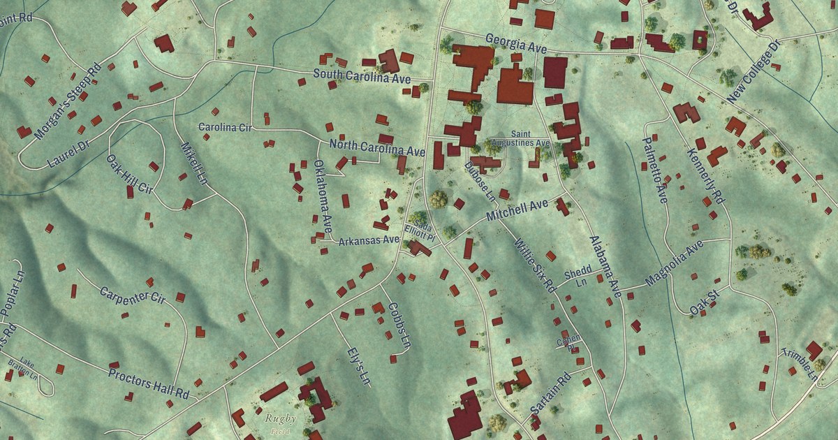
On the map you’ll find Bobtown and Rugby Field, along with Abbo’s Alley, Sherwood Road, Sewanee Highway, Wiggins Creek Drive, Curlicue Road, Morgan’s Steep Road, University Avenue, Tennessee Avenue, Lake O’Donnell Road, Breakfield Road, and more. If you look closely you can even find your house accurately drawn in its correct location. Zoom in on the preview to look for yours.
Did you know this piece of Sewanee, Tennessee history?
Ten Episcopal dioceses joined to create the University of the South near Sewanee. After the Civil War erased its early resources, the university opened in 1868 with nine students, four faculty members, and three frame buildings. That’s from the University of the South history page.
Take a closer look at the Sewanee map
Street and place names on the Sewanee, Tennessee map
These names are printed on the map of Sewanee, Tennessee.
Places: Bobtown, Abbo's Alley and Rugby Field.
Streets and roads: Sherwood Road, Sewanee Highway, Wiggins Creek Drive, Curlicue Road, Morgan's Steep Road, University Avenue, Tennessee Avenue, Lake O'Donnell Road, Breakfield Road, Bob Stewman Road, Georgia Avenue, Hat Rock Road.
More street names, A to Z
Abbott Martin Lane, Alabama Avenue, Allan Gipson Lane, Alston Lane, Arkansas Avenue, Baker's Lane, Ball Park Road, Bobtown Circle, Campbell Drive, Carolina Circle, Carpenter Circle, Carruthers Road, Castleberry Drive, Clara's Point Road, Cobbs Lane, Cohen Place, Crosby Lane, Cumberland Circle, Dogwood Place, Dubose Lane, Ely's Lane, Equestrian Drive, Faculty Circle, Finney Lane, Florida Avenue, Fox Ridge Lane, Girault Jones Drive, Green's View Road, Hall Street, Holmes Lane, Kennerly Road, Kentucky Avenue, Kirby Smith Road, Lake Bratton Lane, Lake Cheston Drive, Lake O'Donnell Drive, Laurel Drive, Longs Lane, Louisiana Circle, Magnolia Avenue, Maple Street, Maxon Lane, Mikell Lane, Mimosa Circle, Mississippi Avenue, Missouri Avenue, Mitchell Avenue, New College Drive, North Carolina Avenue, Oak Hill Circle, Oak Street, Oklahoma Avenue, Old Equestrian Drive, Old Farm Road, Palmetto Avenue, Parson's Drive, Parson's Green Circle, Poplar Lane, Powhatan Circle, Prince Lane, Proctors Hall Road, Reed's Lane, Roarks Cove Road, Running Knob Hollow Road, Sada Elliott Place, Saint Augustines Avenue, Sartain Road, Shedd Lane, South Carolina Avenue, Stephens Drive, Texas Avenue, Tomlinson Lane, Torian Road, Trimble Lane, Virginia Avenue, Willie Six Road, Winns Circle, Xanadu Road.
See the Sewanee, Tennessee map on a wall
The Sewanee map as an 18 x 24 inch print in a black frame.

This beautifully detailed map of Sewanee makes an attractive addition to your office, library, or den, and it can even be used to teach children the geography and history of the area. It also makes a great gift for anyone who grew up in Sewanee or moved away. When you’re done exploring, click here to get your copy of the Sewanee map.