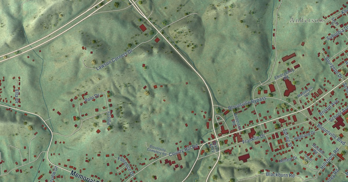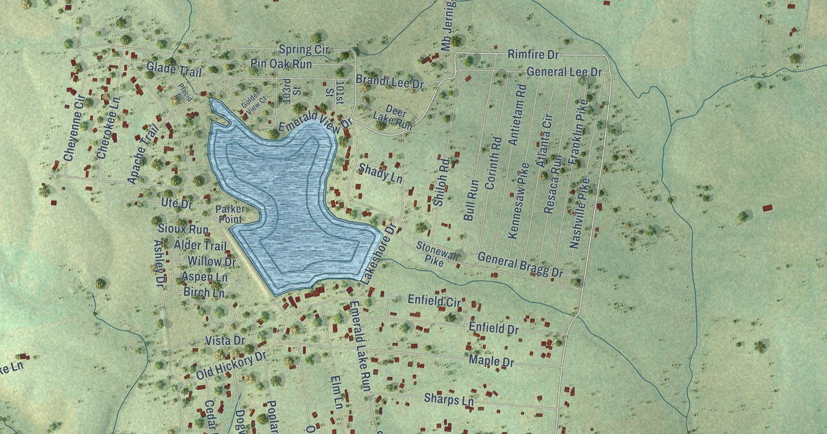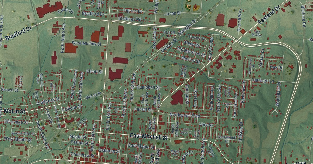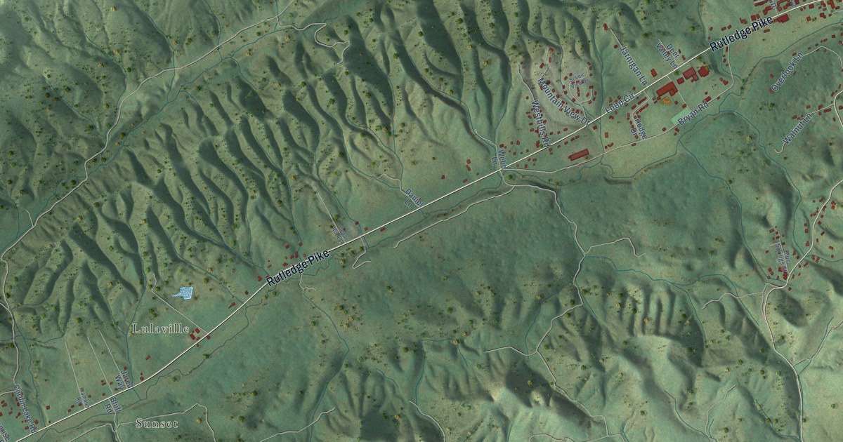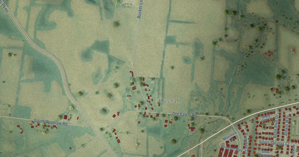
This beautifully detailed map of Salem, Tennessee was created in 2026 using aerial imagery combined with modern topographical, census, street and landmark data. It’s a one-of-a-kind view of Salem that combines accurate data with a vintage aesthetic. The map shows every building in its true location, many of the roads carry their names, and the shaded topographic relief shows the shape of the land.
Explore an aerial view of Salem, Tennessee
On the map you’ll find Southern Aire and Overall, along with New Salem Highway, Veterans Parkway, Saint Andrews Drive, Kimbro Road, Shady Forest Drive, Oak Drive, Old Salem Road, Rucker Lane, Armstrong Valley Road, Mooreland Lane, and more. If you look closely you can even find your house accurately drawn in its correct location. Zoom in on the preview to look for yours.
Did You Know?
From Internet Archive: "Doak continued that school at Salem until 1818, when he came to Tuseculum near Greeneville and established a classical school."
Salem is a community in Rutherford County.
Take a closer look at the Salem map
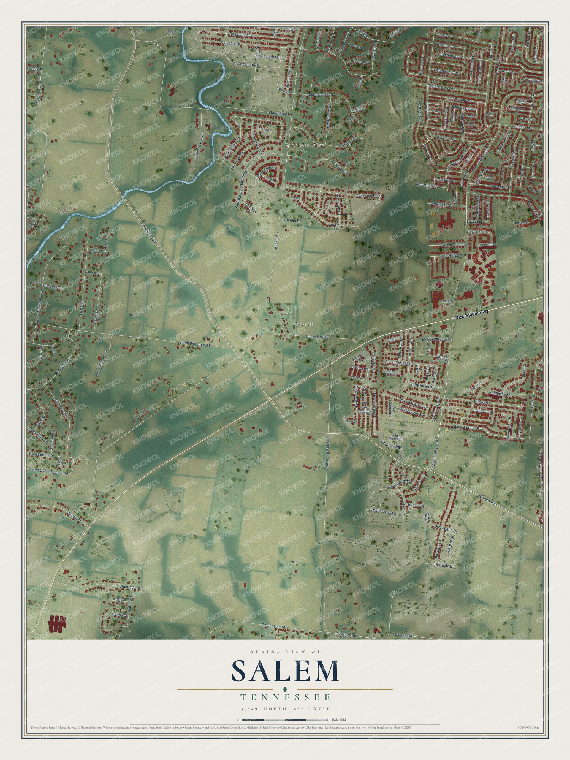
Names on this map
These names are printed on this map.
Places: Southern Aire and Overall.
Streets and roads: New Salem Highway, Veterans Parkway, Saint Andrews Drive, Kimbro Road, Shady Forest Drive, Oak Drive, Old Salem Road, Rucker Lane, Armstrong Valley Road, Mooreland Lane, South Windrow Road, Fairhaven Lane.
More street names, A to Z
Agate Drive, Aire Court, Allerton Way, All Saints Place, Alysheba Run, Amal Drive, Amboress Lane, Antebellum Drive, Aristocrate Drive, Ashland Court, Athem Way, Attleboro Drive, Avington Court, Avington Way, Ballater Drive, Bayou Court, Beaulah Drive, Bellamy Lane, Belle Haven Drive, Belle Rive Drive, Berry Patch Trail, Berryside Drive, Beryl Drive, Bimelch Lane, Blackwell Boulevard, Blakely Drive, Brazelton Court, Breezing Court, Briar Chapel Drive, Burnside Drive, Butterfield Avenue, Calhoun Court, Calydon Court, Cantrell Drive, Carrick Drive, Cason Trail, Cavalry Court, Cinch Court, Citadel, Clearidge Drive, Clifdon Court, Colyn Avenue, Community Circle, Compassion Lane, Confederate Road, Conhocken Court, Constantine Drive, Cornerstone Drive, Cotswold Lane, Cottonfield Lane, Country Park Lane, Covenant Boulevard, Dalmally Drive, Dalton Circle, Dalton Road, Damascus Road, Danbury Court, Debonair Lane, Deerview Drive, Desoto Court, Dewdrop Court, Dewington Drive, Dizzy Dean Drive, Donard Court, Drysdale Drive, Dupree Lane, East Overall Creek Road, Factors Walk, Faithway Drive, Falsetto Lane, Fentress Court, Foxside Lane, Geneva Drive, Genoa Drive, Glenside Court, Greenfield Court, Hamberton Circle, Hamlet Drive, Hampden Avenue, Harpering Lane, Hasell Drive, Haviland Way, Havre de Grace Drive, Higdon Drive, Holsted Drive, Hyde Court, Jade Court, Jarratt Drive, Jeremiah Court, Jerry Anderson Drive, Kadyday Way, Katelyn Court, Kingdom Drive, Kingwood Lane, Kinsale Avenue, Kybald Court, Lantern Lane, Leatherwood Drive, Leslie Lane, Macduff Drive, Mapleside Lane, Marylake Way, Marymont Springs Boulevard, Maryweather Lane, Maylon Drive, McNaughton Way, Mershon Drive, Middleton Drive, Monrovia Drive, Montaque Avenue, Morning Mist Court, Morning Mist Way, Muirwood Boulevard, New Eanes Drive, Nightshade Drive, North Walter Leathers Drive, Oakside Court, Odessa Avenue, Old South Road, Oneida Court, Otter Trail, Oval Hesson Lane, Patricia Circle, Pelham Wood Drive, Perlino Drive, Pitchers Lane, Plantation Drive, Potters Court, Precious Avenue, Promise Way, Pusher Place, Rampart Lane, Robinwood Drive, Rolling Creek Drive, Rose Gold Court, Rutledge Drive, Saber Court, Sagewood Drive, Salem Cove Lane, Sanctuary Place, Sapphire Drive, Satterfield Court, Seascape Lane, Shady Glen Circle, Shafer Drive, Sherborne Court, Silver Springs Court, Slater Drive, Stargell Drive, Stormello Lane, Stow Crossing, Swanson Avenue, Sweetbriar Avenue, Swilly Court, Tabasco Way, Tanner Court, Tara Court, Tara Trce, Teresa Lane, Thompson Road, Tiffin Court, Topaz Drive, Tourmaline Drive, Trotters Lane, United Drive, Velvet Court, Victory Gallop Lane, Watervale Drive, Waybridge Drive, Wellington Place, Weston Boulevard, Westview Drive, Whimsical Drive, Wilhoit Court, Willingham Run, Willow Bay Lane, Yeargan Road, Yeargen Road.
See it on a wall
The Salem map as a framed print. Swipe for more.


This beautifully detailed map of Salem makes an attractive addition to your office, library, or den, and it can even be used to teach children the geography and history of the area. It also makes a great gift for someone who left Salem and still calls it home. When you’re done exploring, click here to get your copy of the Salem map.