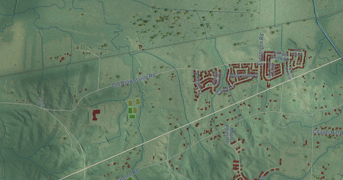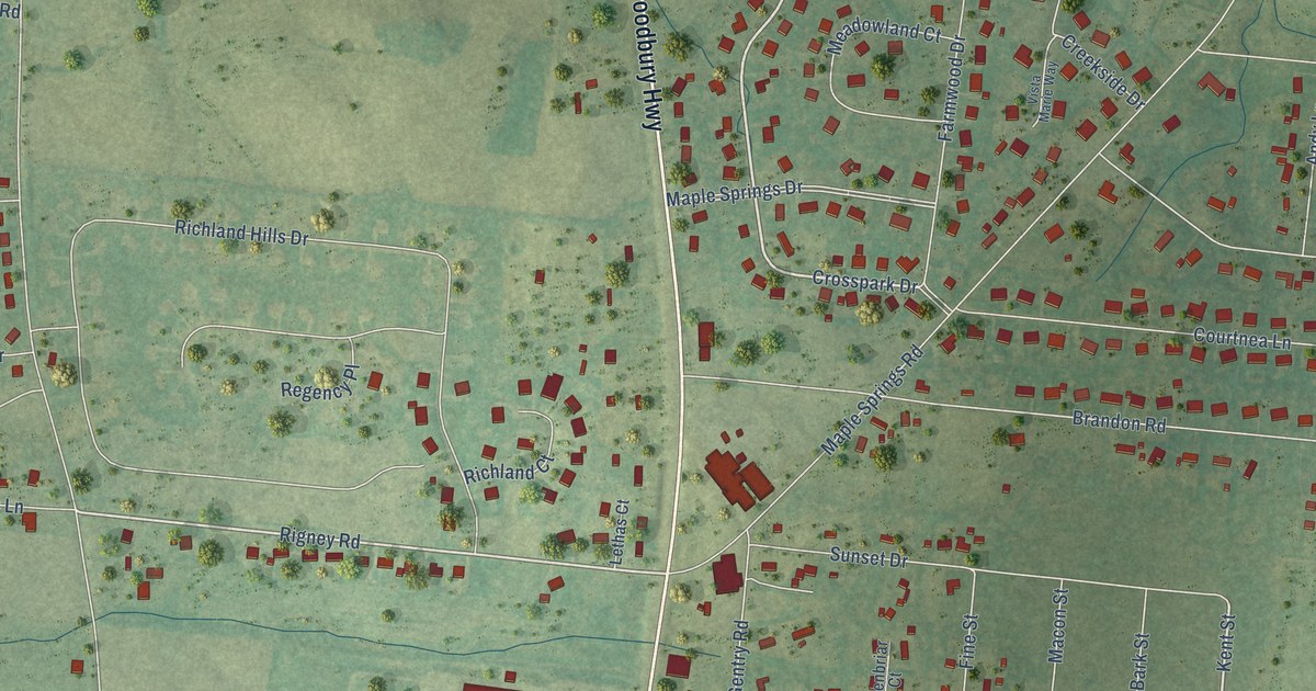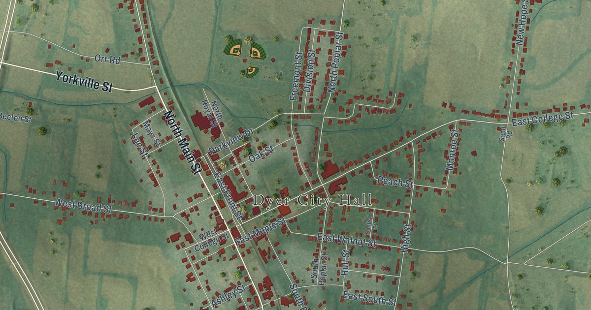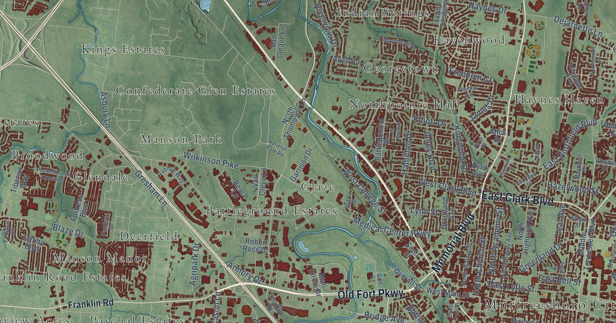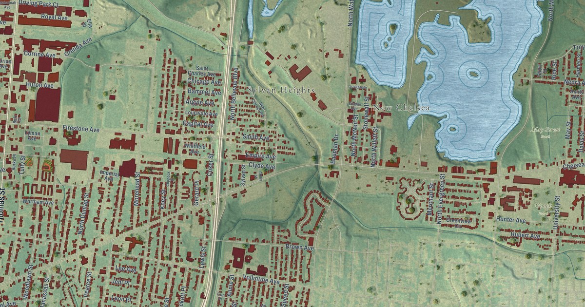
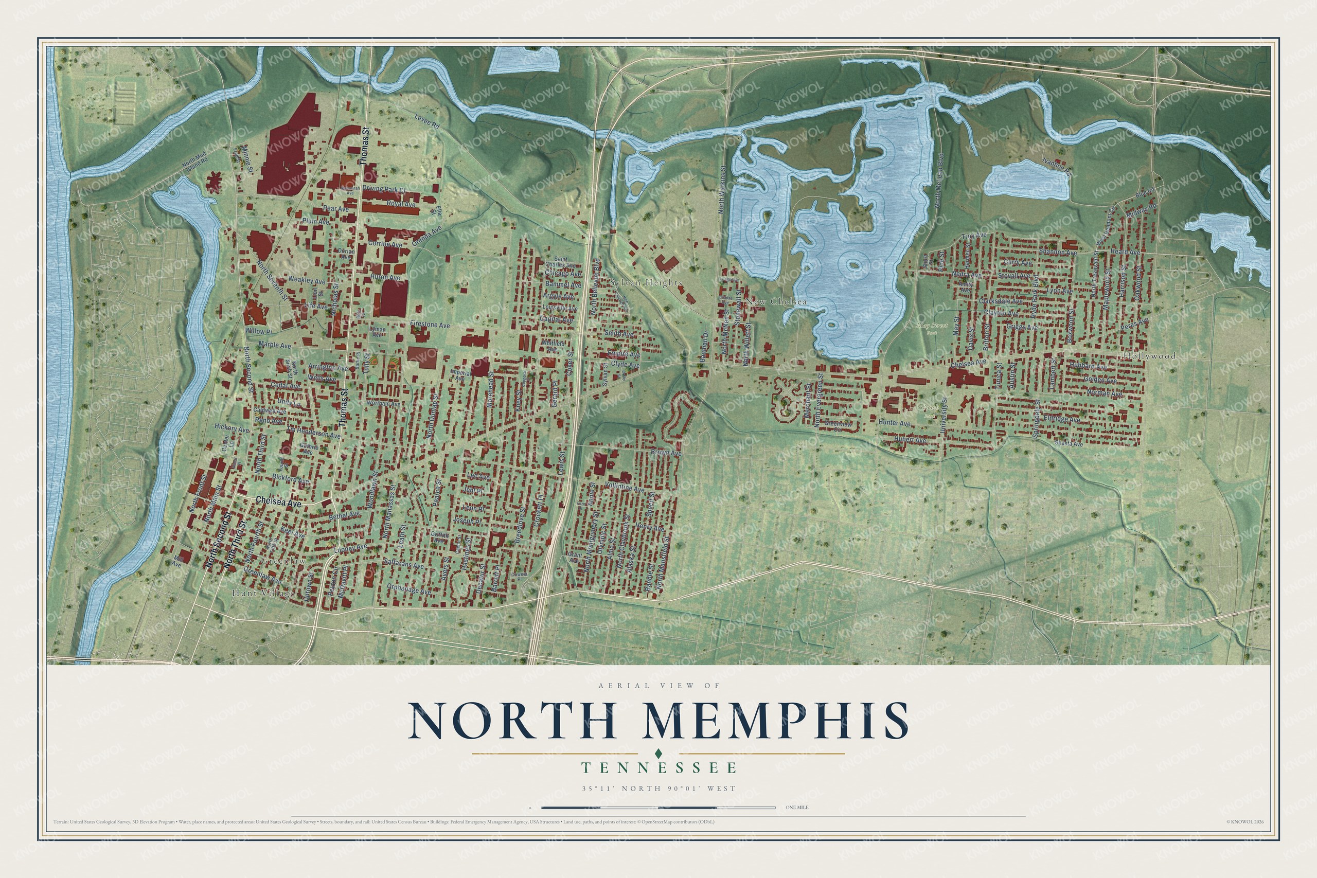
This beautifully detailed map of North Memphis, Tennessee was created in 2026 using aerial imagery combined with modern topographical, census, street and landmark data. It’s a one-of-a-kind view of North Memphis that combines accurate data with a vintage aesthetic. The map shows every building in its true location, many of the roads carry their names, and the shaded topographic relief shows the shape of the land.
Explore an aerial view of North Memphis, Tennessee
On the map you’ll find Greenlaw, Sylvan Heights, New Chelsea, May Street Park, Gooch Park, Hollywood, and Hunt Village, along with Thomas Street, Chelsea Avenue, North Second Street, North Third Street, Heard Avenue, and more. If you look closely you can even find your house accurately drawn in its correct location. Zoom in on the preview to look for yours.
Did You Know?
From Internet Archive: "Pie is a director in the North Memphis Savings Bank and Trust Company and a member of the Catholic church."
North Memphis is a place in Shelby County.
Take a closer look at the North Memphis map
Names on this map
These names are printed on this map.
Places: Greenlaw, Sylvan Heights, New Chelsea, May Street Park, Gooch Park, Hollywood and Hunt Village.
Streets and roads: Thomas Street, Chelsea Avenue, North Second Street, North Third Street, Heard Avenue, Saffarans Avenue, Coker Street, Peyton Circle, Marble Avenue, Levee Road, North Watkins Street, North McLean Boulevard.
More street names, A to Z
Alaska Street, Albert Place, Alma Street, Amity Avenue, Annie Street, Argyle Avenue, Arrington Avenue, Austin Street, Ayers Street, Bammel Avenue, Barrett Place, Bauman Drive, Belz Court, Bethel Avenue, Bickford Avenue, Blue Road, Boxwood Street, Breedlove Street, Britton Street, Brown Avenue, Burke Place, Caldwell Avenue, Capital Avenue, Castle Street, Cedar Avenue, Center Lane, Chicago Avenue, Clarksdale Avenue, Clayton Avenue, Clyde Avenue, Colby Street, Coppock Street, Corrine Avenue, Coweta Place, Crockett Place, Curry Avenue, Davis Street, Decatur Street, Dorian Avenue, Driving Park Court, Eldridge Avenue, Ella Street, Empire Avenue, Evadne Avenue, Fern Place, Firestone Avenue, Fourth Street, Fred Street, Gerard Place, Golden Avenue, Grant Avenue, Greenlaw Avenue, Greenview Circle, Griffith Avenue, Griggs Avenue, Guthrie Avenue, Harmen Street, Harrison Street, Hastings Street, Henry Avenue, Hickory Avenue, Hubbard Avenue, Hubert Avenue, Hunter Avenue, Huron Avenue, Hyde Park Boulevard, Imperial Avenue, Ivanhoe Road, Jehl Place, Joseph Place, Keel Avenue, Kney Street, Lambert Street, Leath Street, Lee Avenue, Leon Place, Lewis Street, Life Avenue, Lion Street, Longsdale, Looney Avenue, Louisville Avenue, Lyman Avenue, Lyon Avenue, Mahannah Avenue, Maplewood Street, May Street, McDavitt Place, Merchant Street, Midway Road, Mill Avenue, Minnie Street, Morehead Street, Nedra Avenue, New Chicago Avenue, Nicholas Street, Norman Avenue, North Bellevue Boulevard, North Claybrook Street, North Dunlap Street, North Evergreen Street, North Fifth Street, North Fourth Street, North Front Street, North Main Street, North Manassas Street, North Mansfield Street, North McNeil Street, North Montgomery Street, North Mud Island Road, North Seventh Street, North Sixth Street, North Trezevant Street, North Willett Street, Oakwood Street, Olympic Street, Orenda Avenue, Orphanage Avenue, Pear Avenue, Pearce Street, Peres Avenue, Plum Avenue, Randle Street, Reno Avenue, Rice Street, Royal Avenue, Saint Charles Avenue, Shannon Avenue, Shasta Avenue, Short Street, Smith Avenue, Speed Street, Springdale Street, Stonewall Street, Stovall Avenue, Sylvan Street, Tm Henderson Avenue, Troy Avenue, Tully Street, Tunica Street, Unity Lane, University Street, Uptown Street, Vollintine Avenue, Weakley Avenue, Wells Avenue, West Belmont Circle, Whitfield Avenue, Willow Place, Woodlawn Street, Wortham Avenue.
See it on a wall
The North Memphis map as a framed print. Swipe for more.


This beautifully detailed map of North Memphis makes an attractive addition to your office, library, or den, and it can even be used to teach children the geography and history of the area. It also makes a great gift for anyone who grew up in North Memphis or moved away. When you’re done exploring, click here to get your copy of the North Memphis map.