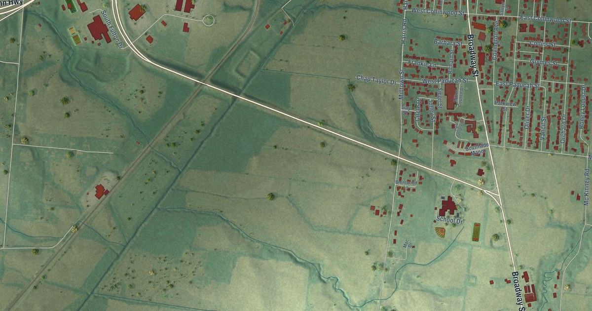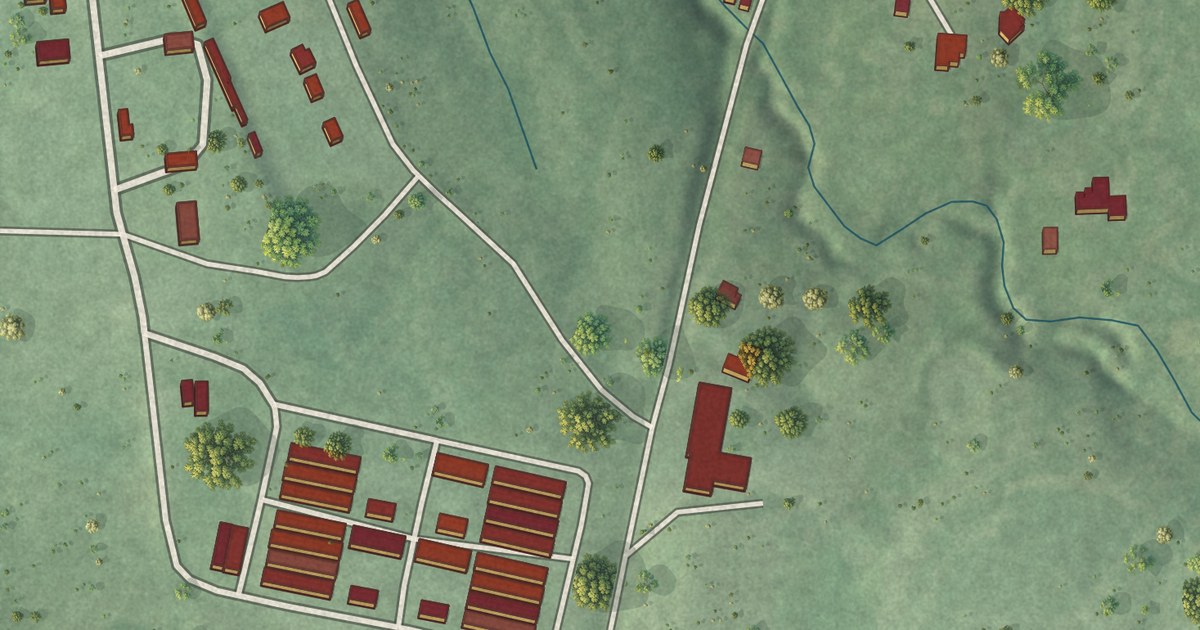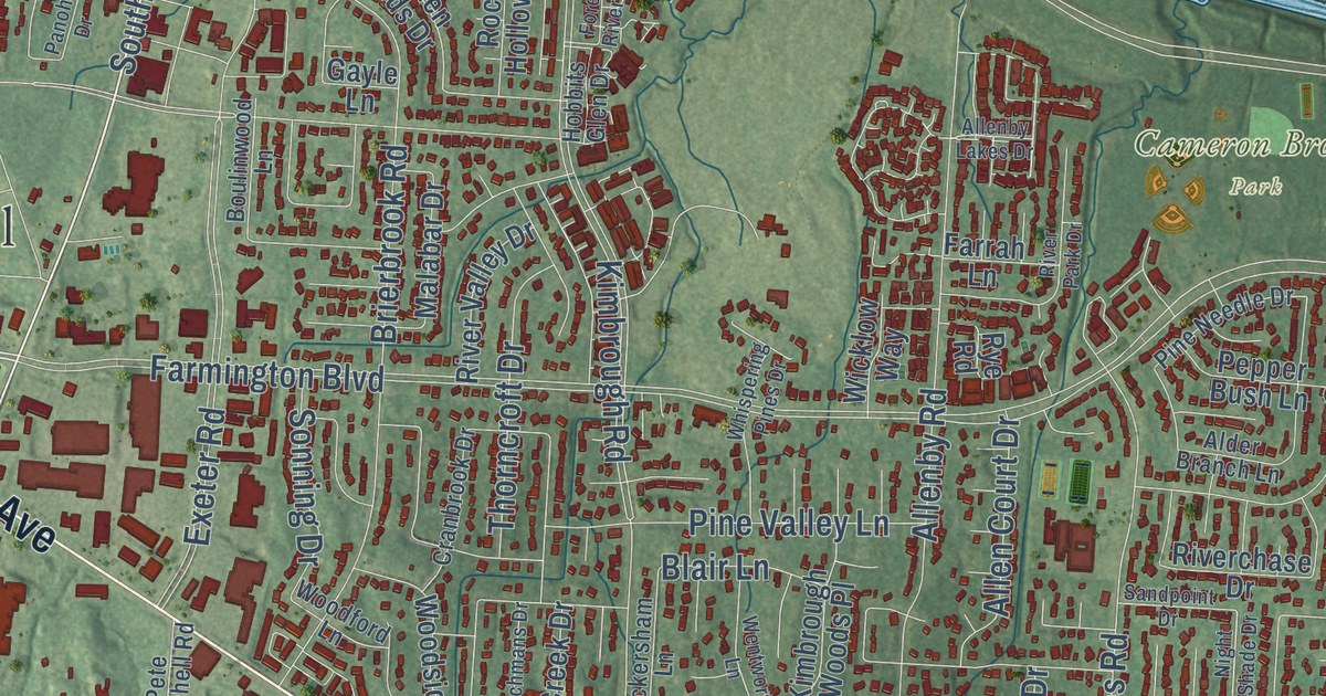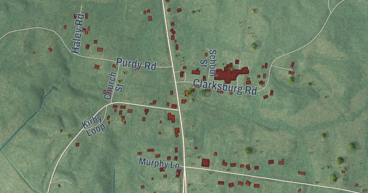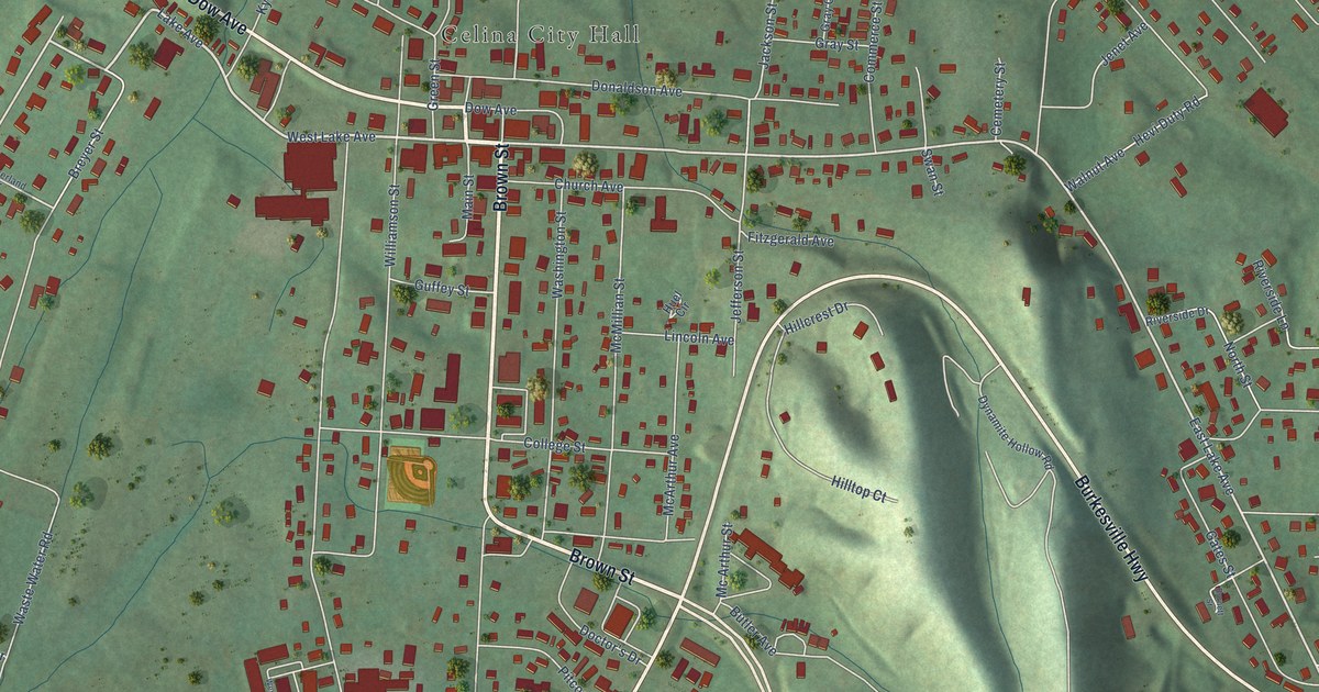
This beautifully detailed map of Celina, Tennessee was created in 2026 using aerial imagery combined with modern topographical, census, street and landmark data. It’s a one-of-a-kind view of Celina that combines accurate data with a vintage aesthetic. The map shows every building in its true location, many of the roads carry their names, and the shaded topographic relief shows the shape of the land.
Explore an aerial view of Celina, Tennessee
On the map you’ll find Celina City Hall, along with Brown Street, Gainesboro Highway, Dow Avenue, Burkesville Highway, East Lake Avenue, West Lake Avenue, Clark Circle, Lake Avenue, Jefferson Street, Mitchell Street, Donaldson Park Road, and more. If you look closely you can even find your house accurately drawn in its correct location. Zoom in on the preview to look for yours.
Did you know this piece of Celina, Tennessee history?
Celina took its name from the daughter of Moses Fisk, a local pioneer businessman and teacher. In the late 1800s it thrived as a logging town. Logs cut in the forests to the east were floated down the Obey River to Celina.
Take a closer look at the Celina map
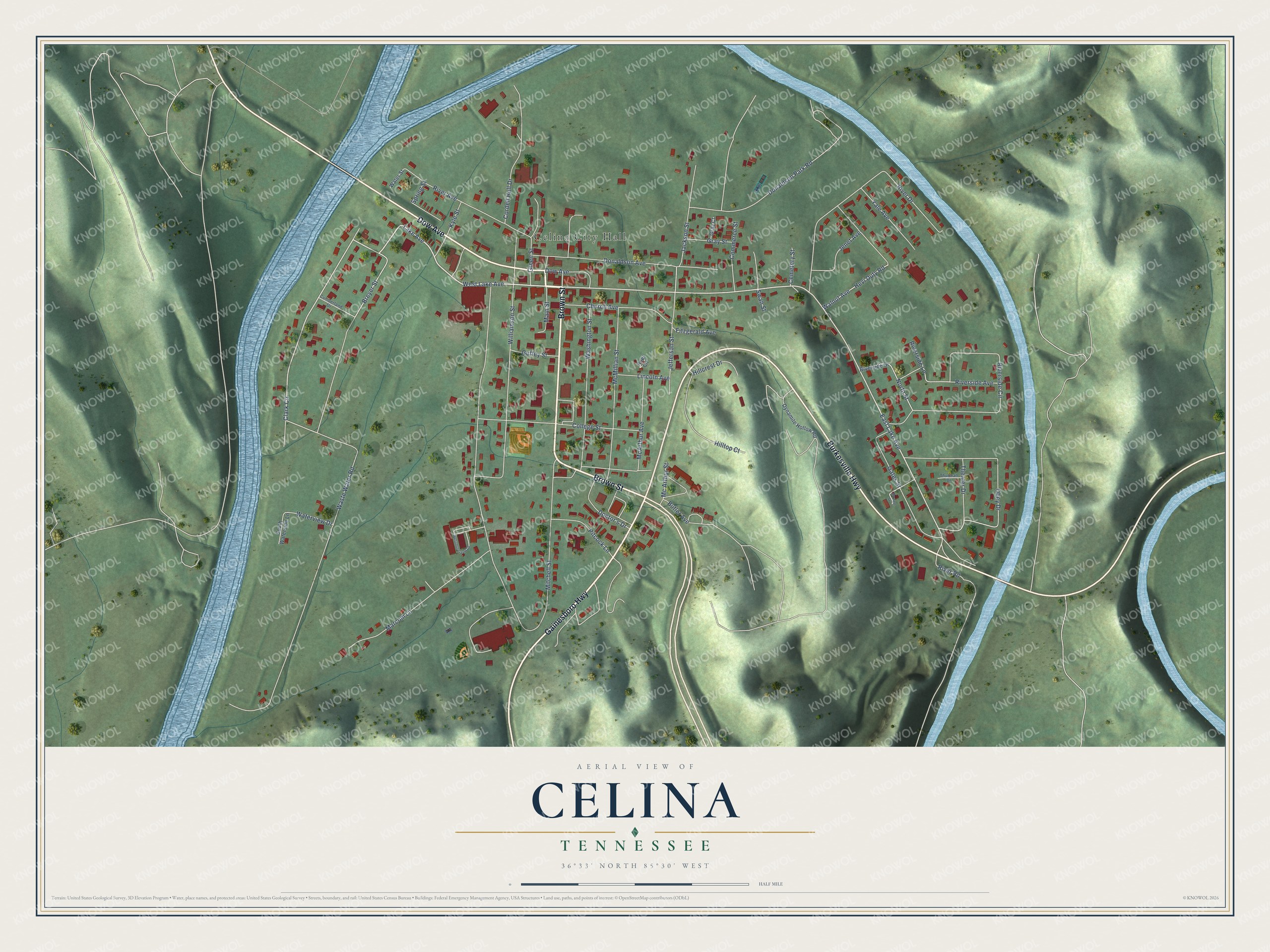
Street and place names on the Celina, Tennessee map
These names are printed on the map of Celina, Tennessee.
Places: Celina City Hall.
Streets and roads: Brown Street, Gainesboro Highway, Dow Avenue, Burkesville Highway, East Lake Avenue, West Lake Avenue, Clark Circle, Lake Avenue, Jefferson Street, Mitchell Street, Donaldson Park Road, Riverside Circle.
More street names, A to Z
Breyer Street, Burnett Street, Butler Avenue, Cemetery Street, Church Avenue, College Street, Commerce Street, Cordell Hull Drive, Cumberland Drive, Doctor's Drive, Donaldson Avenue, Dynamite Hollow Road, Fitzgerald Avenue, Gates Street, Gray Court, Gray Street, Green Street, Guffey Street, Hevi Duty Road, Hillcrest Drive, Hilltop Court, Huel Circle, Jackson Street, Jenet Avenue, Kyle Street, Lincoln Avenue, Main Street, Marcom Lane, McArthur Avenue, Mc Arthur Street, McMillian Street, North Street, Obey Drive, Pitcock Lane, River Avenue, River Drive, River Road, Riverside Avenue, Riverside Drive, Riverside Lane, South Waterside Lane, Spring Street, Swan Street, Theater Drive, Thurman Drive, Walnut Avenue, Washington Street, Waste Water Road, Water Street, Waterview Drive, Westmoreland Drive, Williamson Street, Yale Avenue.
See the Celina, Tennessee map on a wall
The Celina map as an 18 x 24 inch print in a black frame.

This beautifully detailed map of Celina makes an attractive addition to your office, library, or den, and it can even be used to teach children the geography and history of the area. It also makes a great gift for anyone with Celina roots. When you’re done exploring, click here to get your copy of the Celina map.