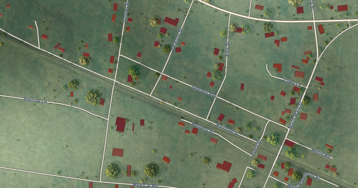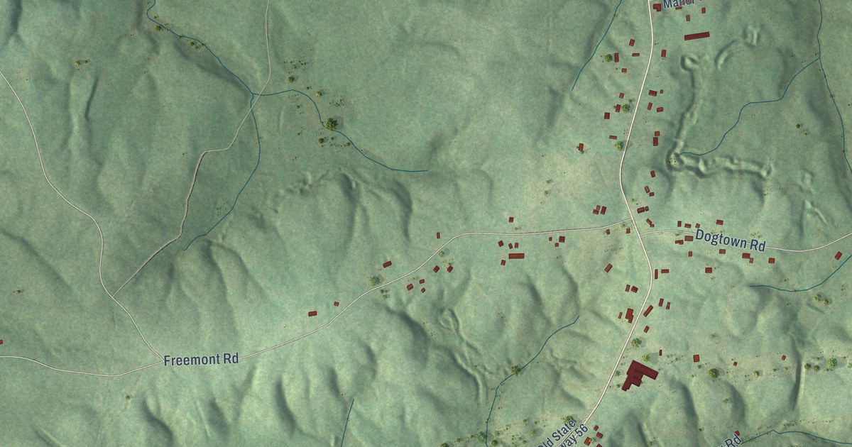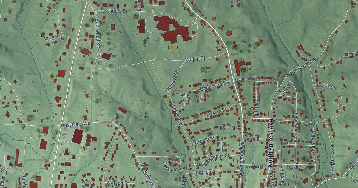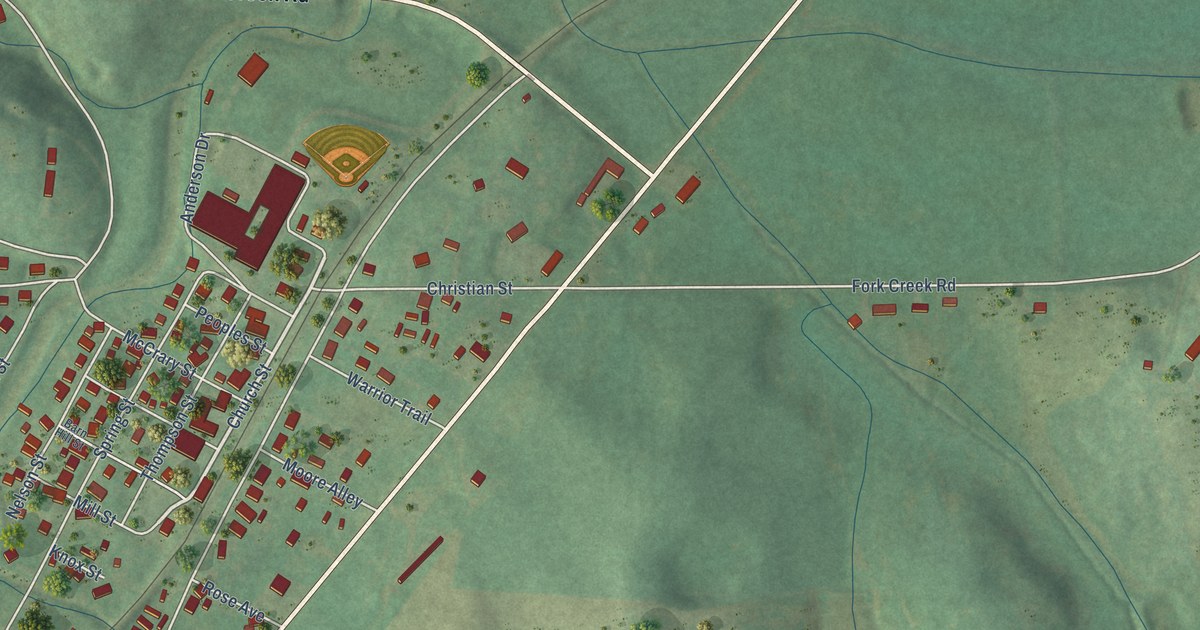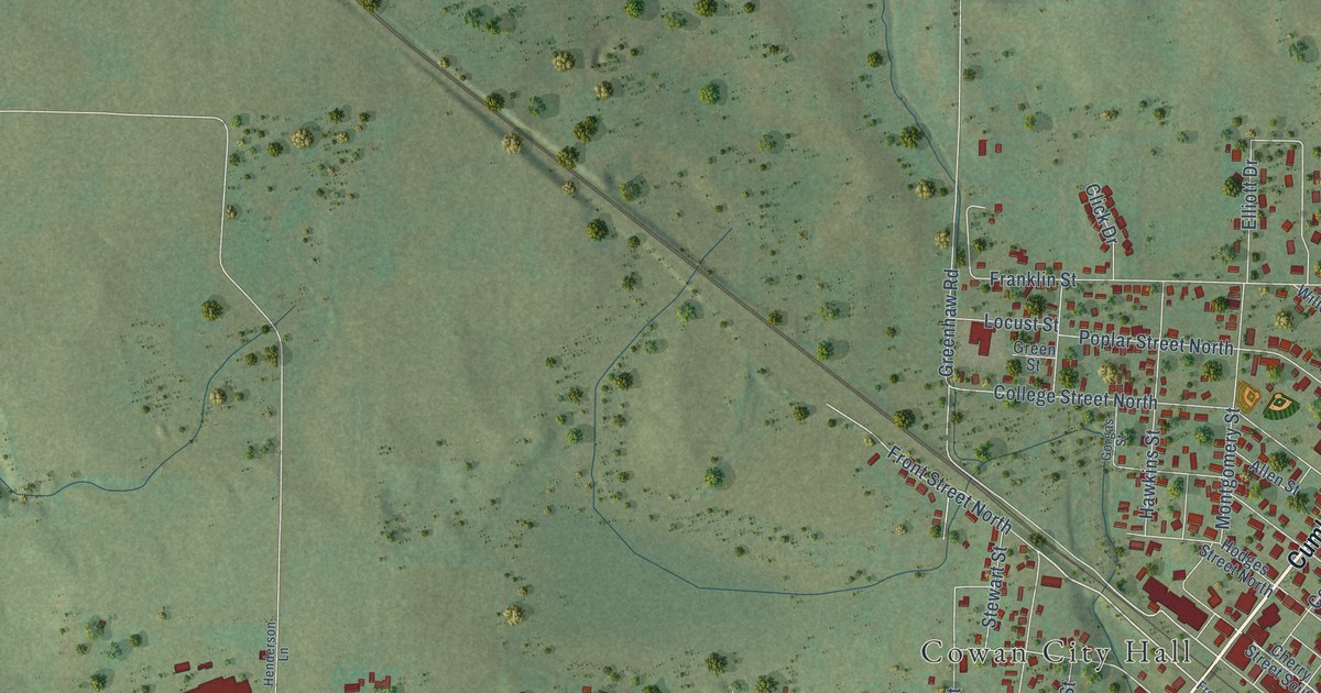
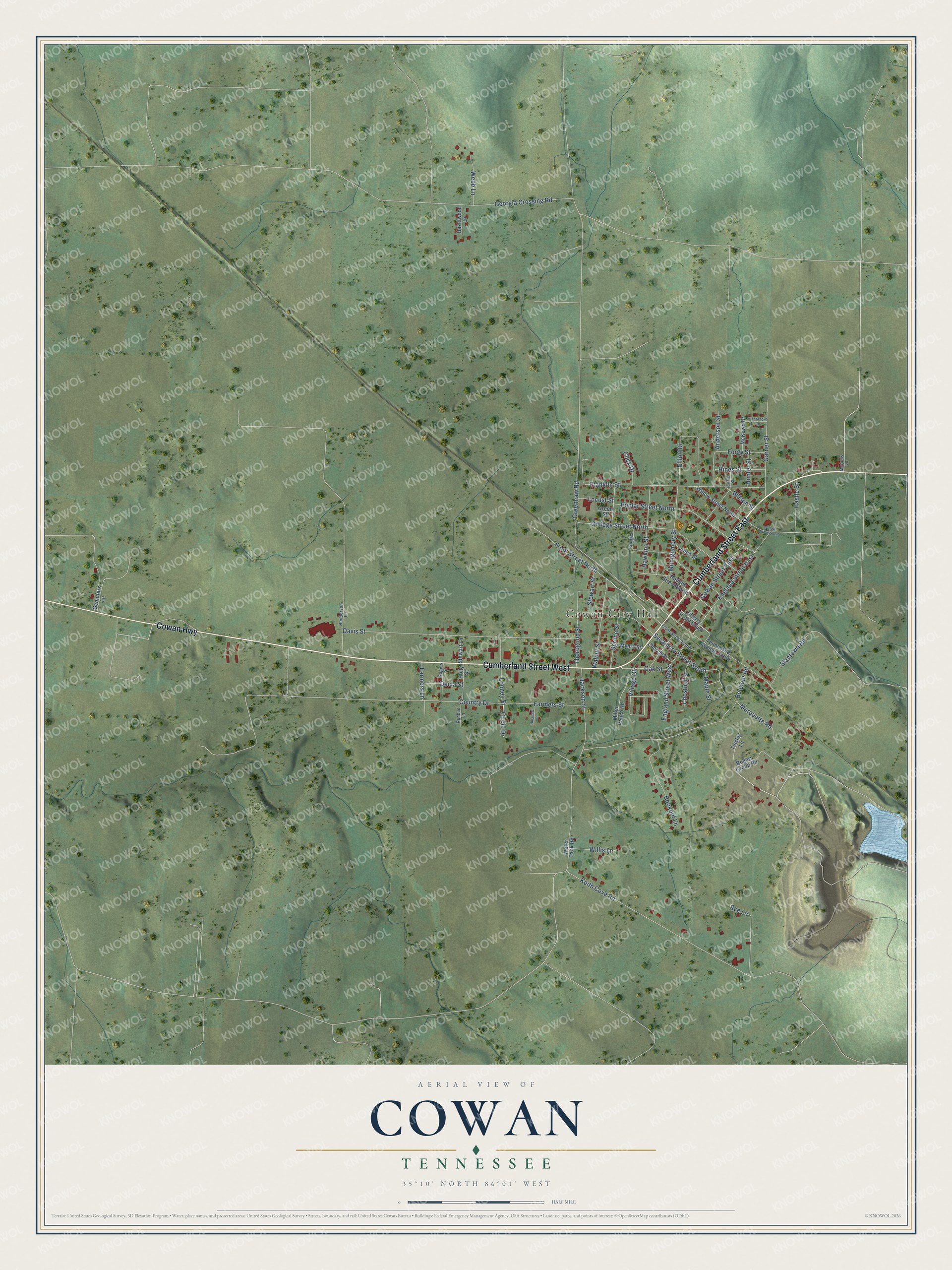
This beautifully detailed map of Cowan, Tennessee was created in 2026 using aerial imagery combined with modern topographical, census, street and landmark data. It's a modern aerial view of Cowan in Franklin County, Tennessee, that combines modern data with a vintage aesthetic. The roads feature printed names, and if you look closely you can find your exact house accurately shown in its correct location.
Explore an aerial view of Cowan, Tennessee
On this map you'll find Cowan City Hall, Cumberland Street East, Cumberland Street West, Cowan Highway, Sycamore Street South, Circle Drive, Village Circle, Greenhaw Road, Davis Street, Franklin Street, Keith Cove Road, Bookout Road, and more. Each red shape is a building, so zoom in on the preview and look for yours.
Cowan has a story worth telling. The Internet Archive puts it this way: "The Sewanee Mining Company has a railroad from Tracy City
passing by University Place, and connecting with the Nashville & Chatanooga Railroad
at the base of the mountain near Cowan."
Cowan is a city in Franklin County. The Census Bureau counted 1,759 people here in 2020.
Take a closer look at the Cowan map
Names on this map
These names are printed on this map.
Places: Cowan City Hall.
Streets and roads: Cumberland Street East, Cumberland Street West, Cowan Highway, Sycamore Street South, Circle Drive, Village Circle, Greenhaw Road, Davis Street, Franklin Street, Keith Cove Road, Bookout Road, Country Drive.
More street names, A to Z
Ace Lane, Allen Street, Anderson Street, Bookout Lane, Castle Street, Cherry Street South, Chestnut Street, Church Street, Click Drive, College Street North, Cowan Street East, Decla Street, Earle Street, Elliott Drive, England Street East, England Street West, Farmers Lane, Farmers Street, Forgy Street, Front Street North, Front Street South, Garner Street, Gennifers Lane, Georgia Crossing Road, Gorgas Street, Green Street, Hawkins Street, Hazelwood Lane, Henderson Lane, Hines Street, Hinshaw Lane, Hodges Street North, Holly Street, Hunter Street, Jackson Street, Locust Street, Looney Street, Maple Street, Marquette Road, McAmis Lane, McKown Drive, Miller Ranch Road, Montgomery Street, Myers Street, Oak Street, Poplar Street North, Redbud Lane, Rogers Group Road, Rogers Street, Slagtown Road, Spruce Street, Stewart Lane, Stewart Street, Tennessee Avenue South, Thorogood Street, Tinsley Lane, Vanderbilt Lane, Walnut Street, Water Tank Road, Webb Lane, Willis Lane, Willow Street North, Willow Street South, Wilson Street.
Created by KNOWOL in 2026. The buildings are small red shapes, the roads carry their printed names, and shaded relief shows the shape of the land. The title panel reads "AERIAL VIEW OF COWAN TENNESSEE" with 35°10' NORTH 86°01' WEST.
It looks right in a kitchen, an office or a den, and it's a gift for anyone who grew up in Cowan or moved away. Open the preview and find your street. See sizes and frames for the Cowan map.