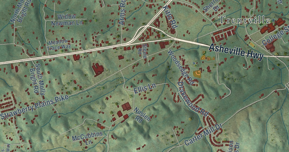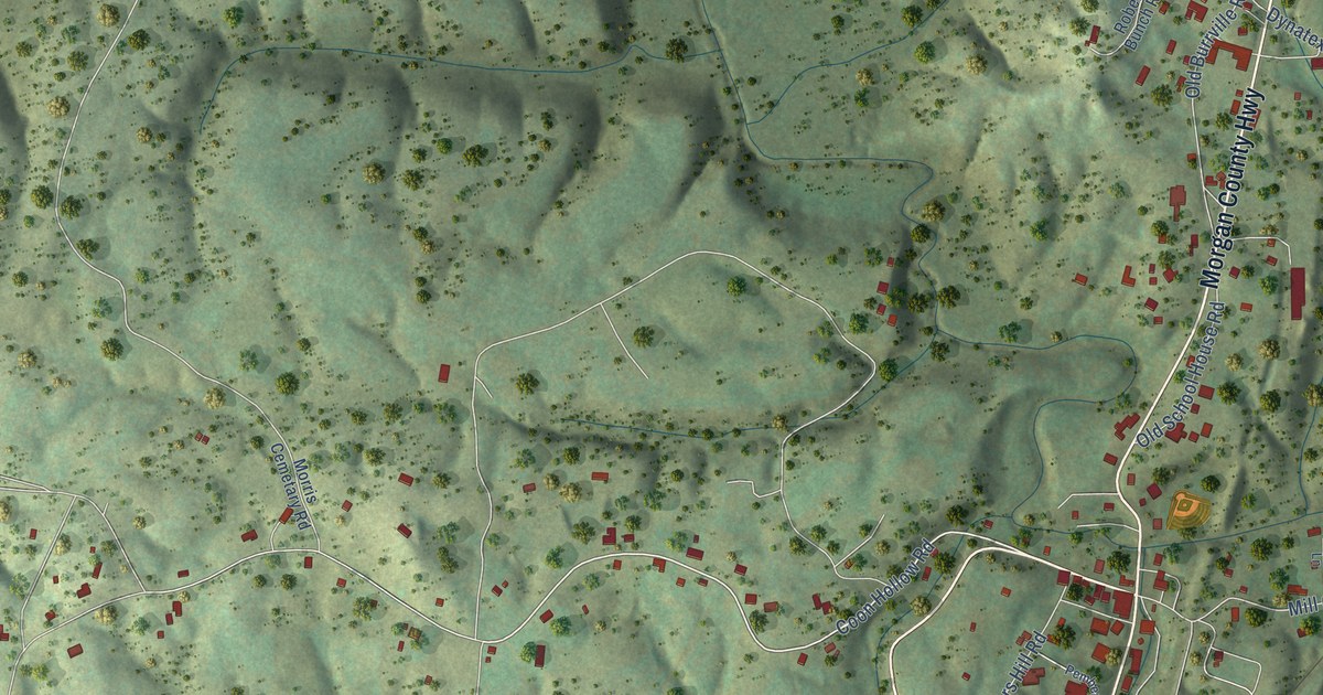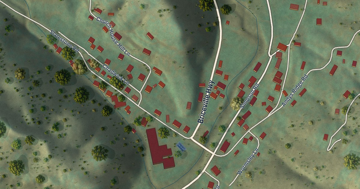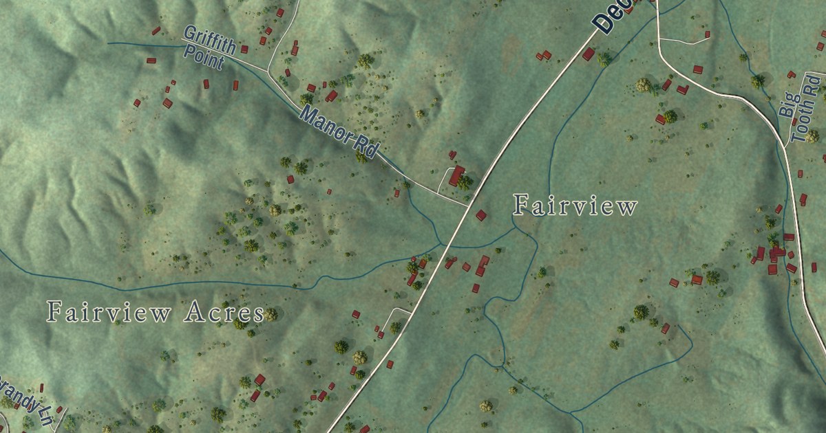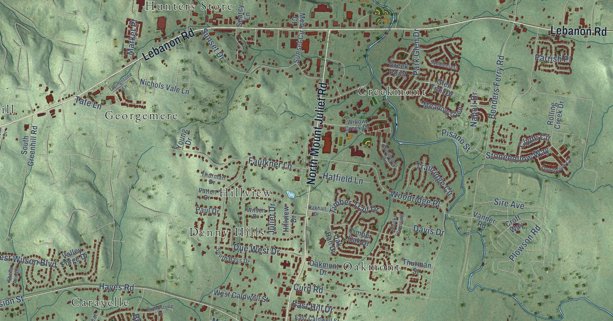
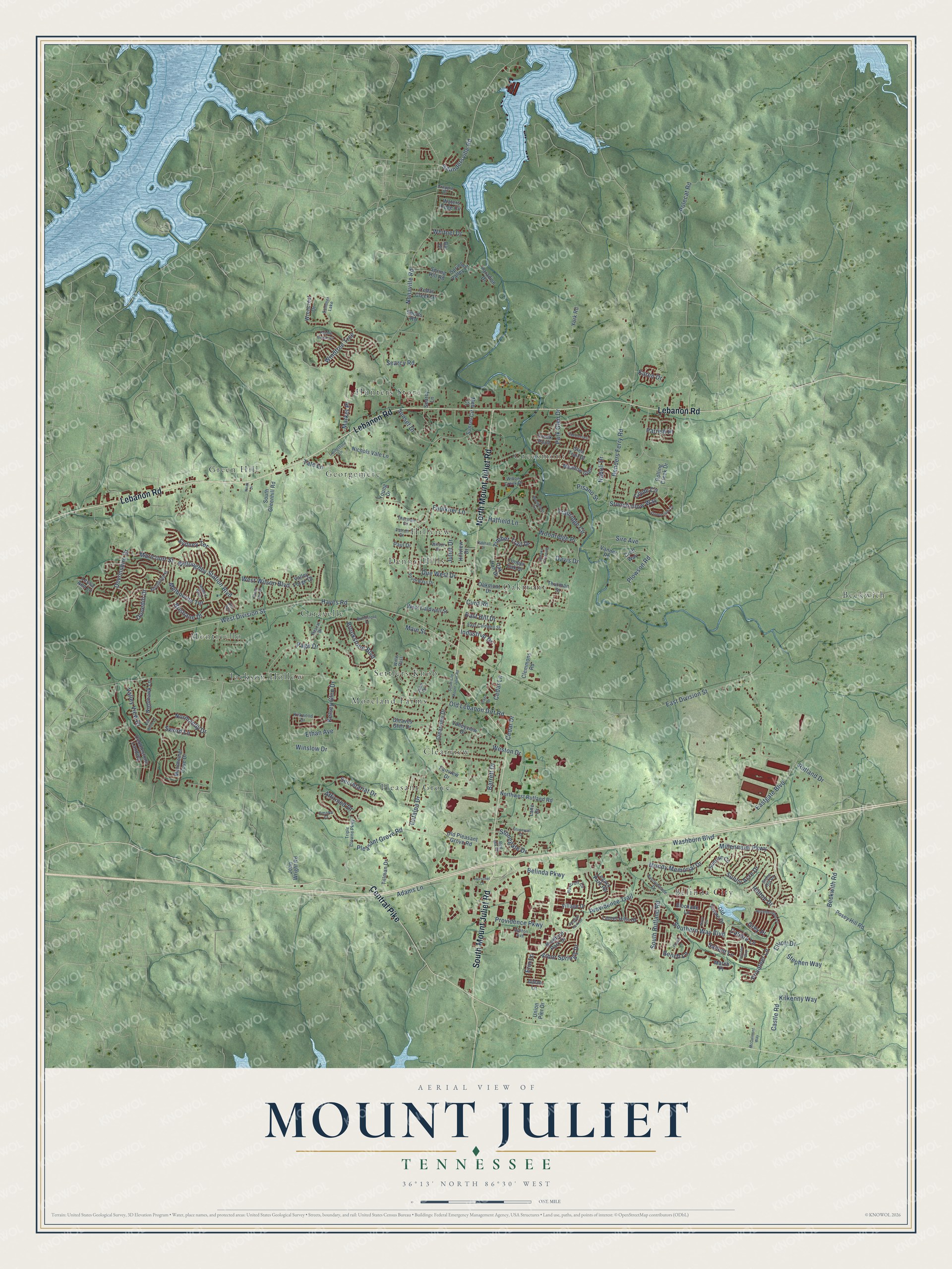
This beautifully detailed map of Mount Juliet, Tennessee was created in 2026 using aerial imagery combined with modern topographical, census, street and landmark data. It’s a one-of-a-kind view of Mount Juliet that combines accurate data with a vintage aesthetic. The map shows every building in its true location, many of the roads carry their names, and the shaded topographic relief shows the shape of the land.
Explore an aerial view of Mount Juliet, Tennessee
On the map you’ll find Beckwith, Belinda City, Caravelle, Clearview, Creekmont, Denny Hills, Georgemere, Green Hill, Hillview, Hunters Store, Jackson Hollow, Monticello, and more. If you look closely you can even find your house accurately drawn in its correct location. Zoom in on the preview to look for yours.
Did you know this piece of Mount Juliet, Tennessee history?
From the 1886 History of Tennessee: "Mount Juliet Academy, a chartered school, ranks among the best in the county."
Take a closer look at the Mount Juliet map
Street and place names on the Mount Juliet, Tennessee map
These names are printed on the map of Mount Juliet, Tennessee.
Places: Beckwith, Belinda City, Caravelle, Clearview, Creekmont, Denny Hills, Georgemere, Green Hill, Hillview, Hunters Store, Jackson Hollow, Monticello, Moreland Farms, Oakmont, Pleasant Grove, Settlers Knob and Summer Lake.
Streets and roads: Lebanon Road, North Mount Juliet Road, Central Pike, South Mount Juliet Road, West Division Street, Hayes Road, West Wilson Boulevard, Saundersville Road, Willoughby Station Boulevard, Washburn Boulevard, Belinda Parkway, Old Lebanon Dirt Road.
More street names, A to Z
Adams Lane, Affirmed Drive, Aidan Lane, Alex Way, Antebellum Lane, Arbor Springs Drive, Ashton Avenue, Bar Drive, Barrett Drive, Beckwith Road, Bench Lane, Benders Ferry Road, Blockade Lane, Bob White Lane, Boxcroft Circle, Bradford Park Drive, Brisbane Drive, Brooks Crossing, Brookstone Boulevard, Brookstone Drive, Calibre Lane, Castle Road, Catalpa Drive, Cedar Creek Drive, Cedar Drive, Cedar Lane, Clearview Drive, Clemmons Road, Clyde Circle, Cobblestone Landing, Crappie Drive, Creek Point, Croft Way, Curd Road, Davis Drive, Devonshire Drive, Due West Drive, Dunedin Drive, East Caldwell Street, East Division Street, Eastgate Boulevard, East Hill Drive, Edinburgh Street, Elliott Drive, Erin Lane, Ethan Avenue, Fairview Drive, Faulkner Lane, Foster Lane, Gleaves Glen Drive, Glen Trail Drive, Grey Place, Hatfield Lane, Herschel Drive, Hilltop Drive, Hillview Drive, Hobart Way, Industrial Drive, John Wright Road, Julie Drive, Juliet Drive, Karen Drive, Kelsey Glen Drive, Kilkenny Way, Kirkwood Drive, Lane Drive, Laurel Hills Drive, Leesa Ann Lane, Legacy Park Road, Livingstone Lane, Main Street, March Place, Maricourt Street, Market Place, McCalmont Way, Meadow Glen, Meb Court, Melbourne Terrace, Millennium Parkway, Monthemer Cove Drive, Mundy Memorial Drive, Napoli Drive, Navy Circle, Nichols Vale Lane, Nighthawk Lane, Noak Drive, Nonaville Road, Normandy Drive, Northwest Rutland Road, Oak Hall Drive, Oakhall Drive, Oakmont Drive, Old Pleasant Grove Road, Old Towne Drive, Omaha Court, Page Drive, Paradise Drive, Park Glen Drive, Parrish Place, Pascal Drive, Patriotic Way, Patton Drive, Paul Drive, Pebble Beach Circle, Pisano Street, Plaza Drive, Pleasant Grove Road, Plowson Road, Polecat Road, Posey Hill Road, Privateer Lane, Providence Parkway, Providence Trail, Red Ink Drive, Regent Park Drive, Rolling Creek Drive, Rutland Drive, Saddlecrest, Salient Lane, Searcy Lane, Searcy Road, Secretariat Drive, Sheila Ann Drive, Sire Avenue, South Bass Drive, Southern Way Boulevard, South Greenhill Road, South Old Mount Juliet Road, South Rutland Road, Sports Road, Spring Hill Road, Spring Valley Drive, Stephen Way, Stonebrook Circle, Stonegate Drive, Stone Hill Road, Stonehollow Way, Stonewall Drive, Sunny Acre Drive, Sunnymeade Drive, Sunrise Circle, Sunset Circle, Sunset Drive, Sword Lane, Sydney Terrace, Tate Lane, Thurman Drive, Thurman Street, Tillman Drive, Timber Oak Drive, Timber Trail Drive, Trailridge Circle, Triple Crowne Parkway, Union Pier Drive, Valley Forge Drive, Valley View Drive, Valleyview Drive, Vanner Road, Village Drive, Waters Edge Circle, West Caldwell Street, Weston Drive, Whitnel Drive, Willis Pass, Willow Creek Drive, Wilson Drive, Windtree Trce, Winslow Drive, Woodcrest Circle, Woodridge Place, Wrencrest Drive, York Road, Young Drive.
See the Mount Juliet, Tennessee map on a wall
The Mount Juliet map as an 18 x 24 inch print in a black frame.

This beautifully detailed map of Mount Juliet makes an attractive addition to your office, library, or den, and it can even be used to teach children the geography and history of the area. It also makes a great gift for anyone who grew up in Mount Juliet or moved away. When you’re done exploring, click here to get your copy of the Mount Juliet map.