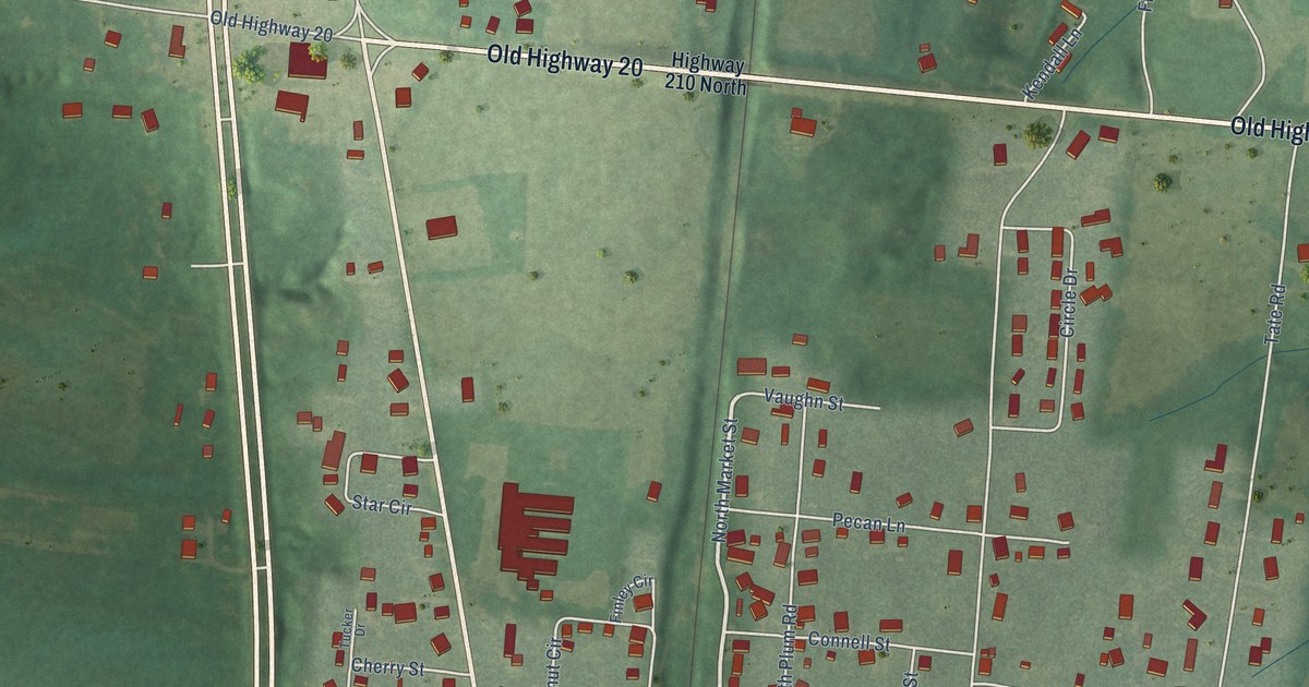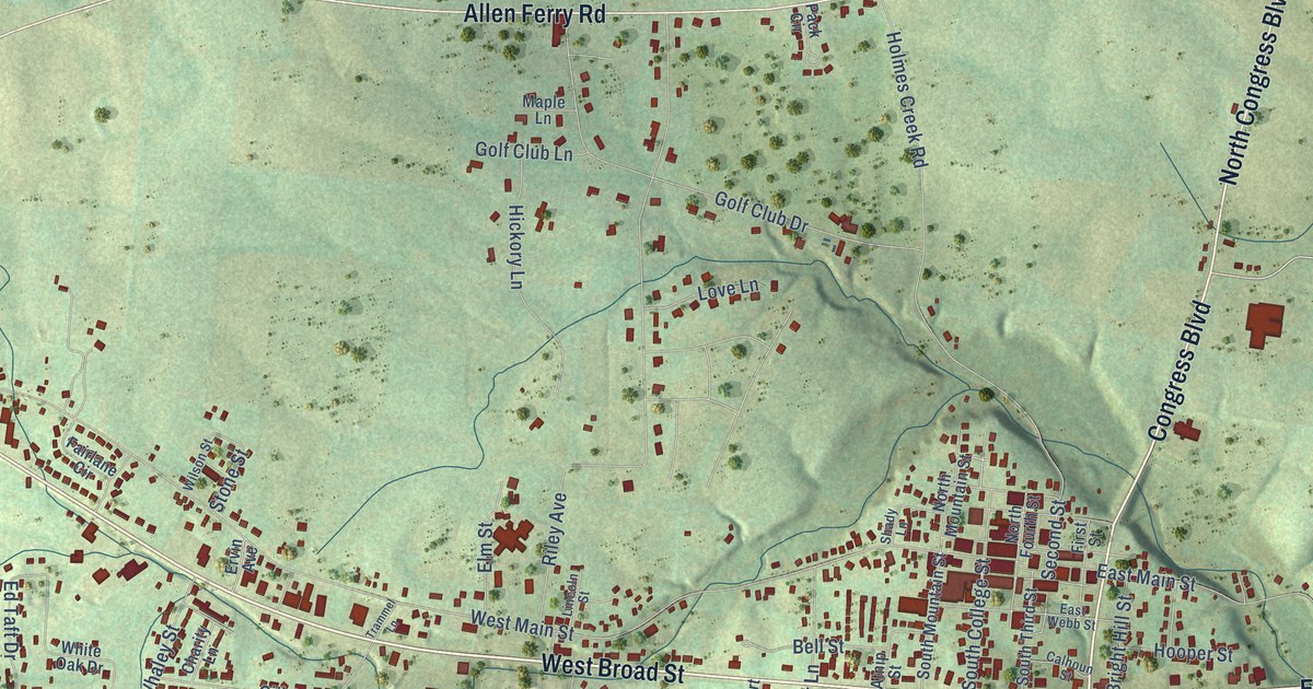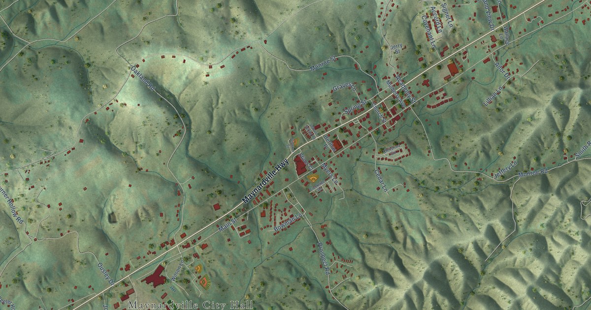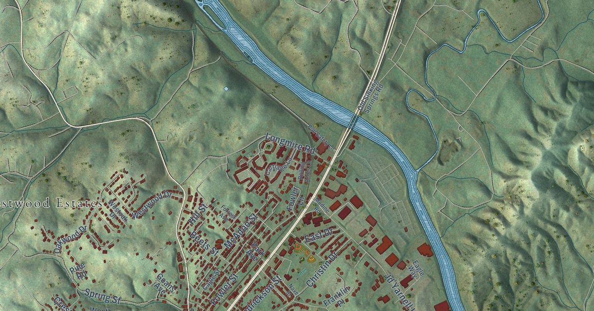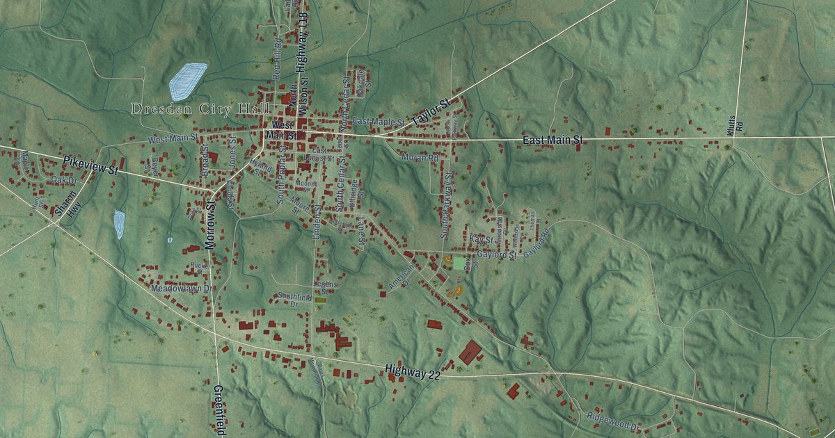
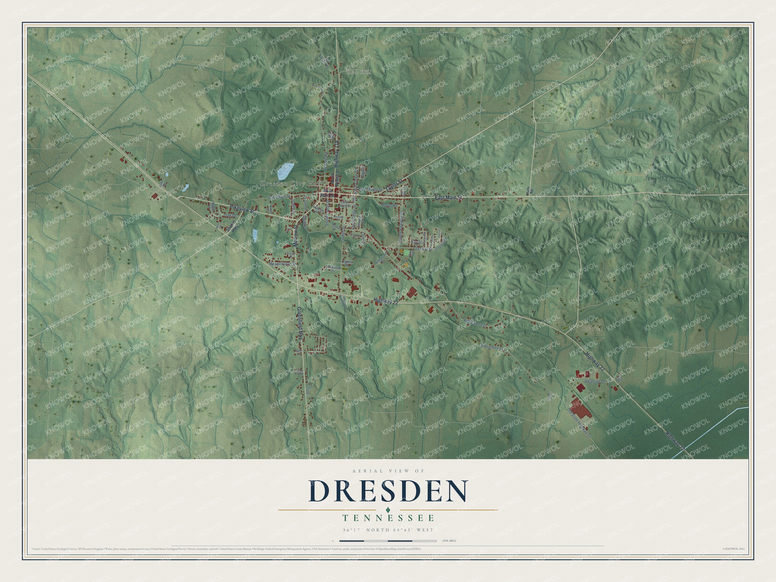
This beautifully detailed map of Dresden, Tennessee was created in 2026 using aerial imagery combined with modern topographical, census, street and landmark data. It's a modern aerial view of Dresden in Weakley County, Tennessee, that combines modern data with a vintage aesthetic. The roads feature printed names, and if you look closely you can find your exact house accurately shown in its correct location.
Explore an aerial view of Dresden, Tennessee
On this map you'll find Dresden City Hall, Red Hill, East Main Street, Pikeview Street, Greenfield Highway, Highway 22, Highway 118, Morrow Street, Taylor Street, North Cedar Street, Red Hill Road, Evergreen Street, and more. Each red shape is a building, so zoom in on the preview and look for yours.
Here is a piece of Dresden history, in the words of the record. The record at tennesseeencyclopedia.net puts it this way: "The town’s first major industries were Bay Bee Shoe Company, established in 1948, and Dresden Manufacturing Company (1949)."
Dresden is a town in Weakley County. The Census Bureau counted 3,019 people here in 2020.
Take a closer look at the Dresden map
Names on this map
These names are printed on this map.
Places: Dresden City Hall and Red Hill.
Streets and roads: East Main Street, Pikeview Street, Greenfield Highway, Highway 22, Highway 118, Morrow Street, Taylor Street, North Cedar Street, Red Hill Road, Evergreen Street, South Poplar Street, Linden Street.
More street names, A to Z
American Drive, Beyer Street, Bible Union Road, Broad Street, Cedar Street, Childs Street, Cox Street, Davis Memorial Road, Doris Lane, Duke Street, East Locust Street, East Maple Street, Ethridge Street, Gaylord Road, Gaylord Street, Hilltop Drive, Hunt Street, Hyland Street, Jefferson Street, Jones Street, Kay Street, Klutts Road, Lake Drive, Lamb Road, Lane Street, Legens Street, Maple Lane, Meadowlawn Drive, Mooney Street, Moore Street, Moran Road, North Parkway Street, North Wilson Street, Oakdale Street, Oak Drive, Old Latham Road, Old State Highway 22, Ridgewood Drive, Rucker Street, Sharon Highway, Shobe Road, South Cedar Street, Southfield Drive, South Parkway Street, Summers Road, Swanson Drive, Thomas Street, Valley View Road, West Main Street, Woodside Circle, Woodside Drive.
Created by KNOWOL in 2026. The buildings are small red shapes, the roads carry their printed names, and shaded relief shows the shape of the land. The title panel reads "AERIAL VIEW OF DRESDEN TENNESSEE" with 36°17' NORTH 88°43' WEST.
It suits a den, a classroom or a front hall, and it makes a gift for anyone with Dresden roots. Open the preview and find the block you know. See sizes and frames for the Dresden map.