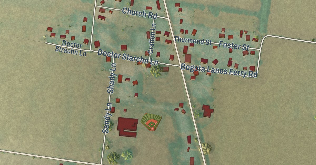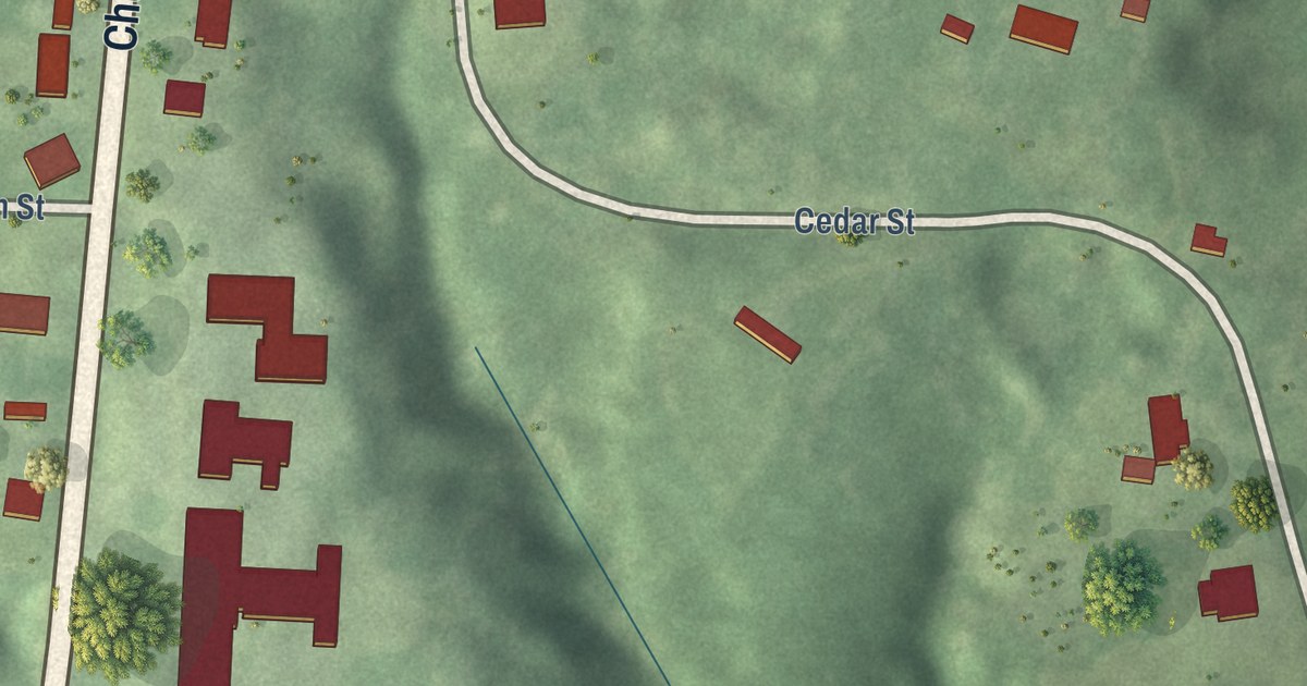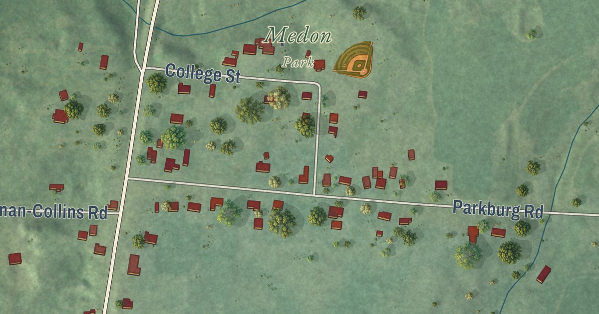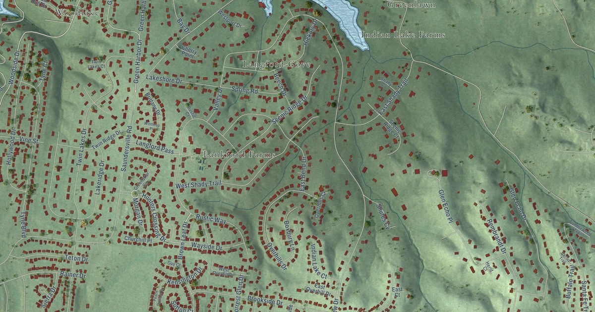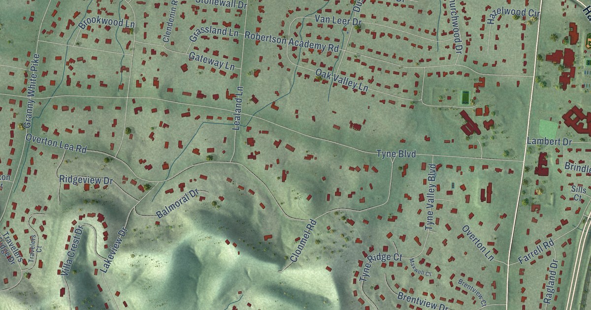
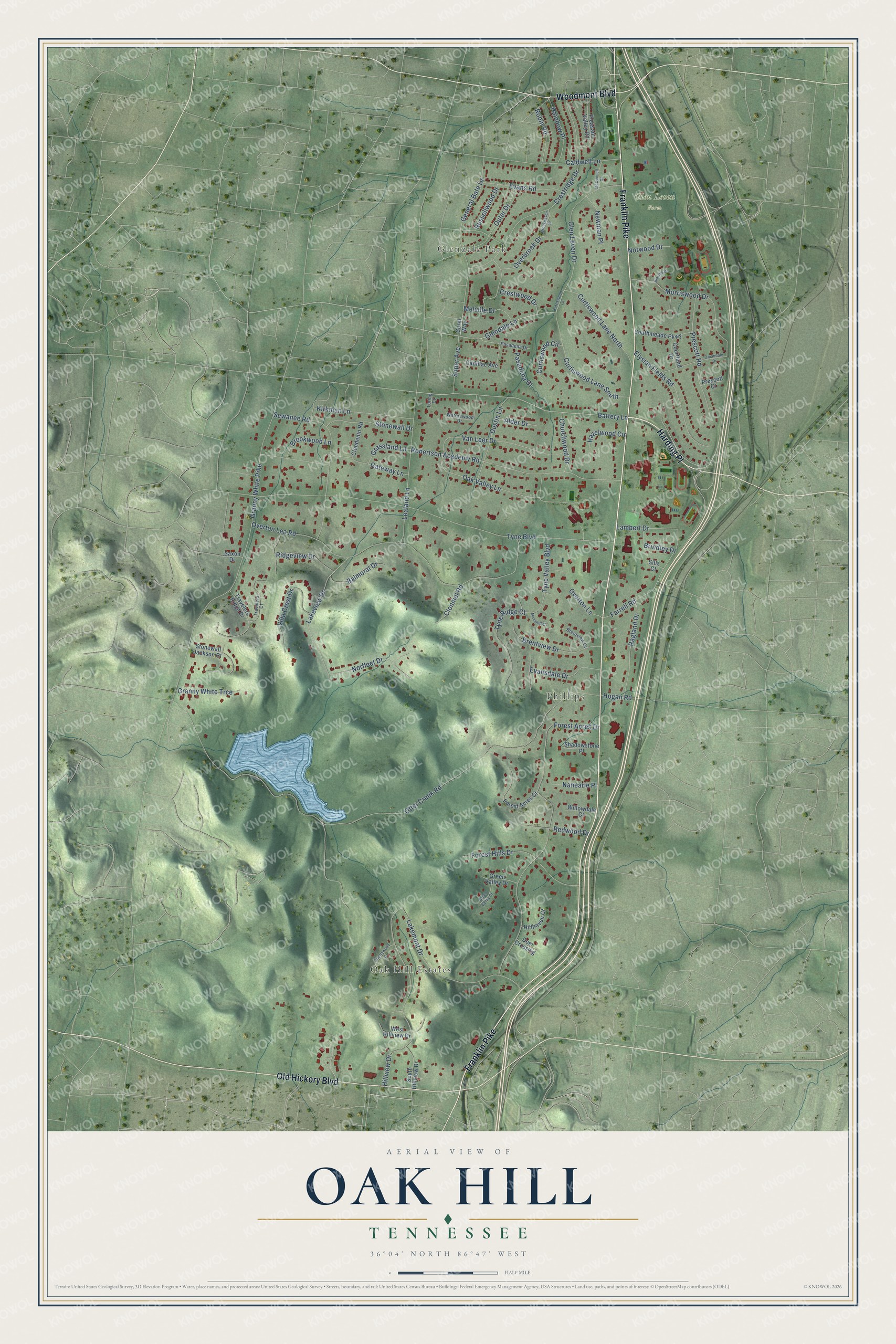
This beautifully detailed map of Oak Hill, Tennessee was created in 2026 using aerial imagery combined with modern topographical, census, street and landmark data. It’s a one-of-a-kind view of Oak Hill that combines accurate data with a vintage aesthetic. The map shows every building in its true location, many of the roads carry their names, and the shaded topographic relief shows the shape of the land.
Explore an aerial view of Oak Hill, Tennessee
On the map you’ll find Oak Hill Estates, Glendale Park, Phillips, Glen Leven Farm, and Harding Place, along with Franklin Pike, Old Hickory Boulevard, Woodmont Boulevard, Glendale Lane, Battery Lane, Otter Creek Road, Tyne Boulevard, and more. If you look closely you can even find your house accurately drawn in its correct location. Zoom in on the preview to look for yours.
Did you know this piece of Oak Hill, Tennessee history?
From the City of Oak Hill: "James Robertson established a settlement he called Nashborough in 1779, and his friend John Donelson brought about 60 families to join him in 1780. John Overton came to the area in 1789 and named his horse-breeding farm in the Oak Hill area Travellers Rest."
Take a closer look at the Oak Hill map
Street and place names on the Oak Hill, Tennessee map
These names are printed on the map of Oak Hill, Tennessee.
Places: Oak Hill Estates, Glendale Park, Phillips and Glen Leven Farm.
Streets and roads: Harding Place, Franklin Pike, Old Hickory Boulevard, Woodmont Boulevard, Glendale Lane, Battery Lane, Otter Creek Road, Tyne Boulevard, Overton Lea Road, Forest Acres Drive, Granny White Pike, Crestridge Drive.
More street names, A to Z
Alder Drive, Balmoral Drive, Blevins Drive, Brentview Court, Brentview Drive, Brindley Drive, Brookhaven Drive, Brookwood Lane, Cadillac Avenue, Caldwell Lane, Cherrywood Drive, Churchwood Drive, Clendenin Road, Clonmel Road, Coral Way, Courtland Drive, Crestwood Drive, Curtiswood Circle, Curtiswood Lane, Curtiswood Lane North, Curtiswood Lane South, Deer Crossing, Dustin Lane, Elysian Fields Road, Evansdale Drive, Evans Road, Farrell Road, Forest Acres Court, Forest Hills Drive, Gateway Lane, General Bate Drive, Glen Leven Drive, Granny White Trce, Grassland Lane, Green Valley Court, Green Valley Drive, Hazelwood Circle, Hillhaven Court, Hillview Drive, Hogan Road, Kirkman Lane, Lakemont Drive, Lakeview Drive, Lambert Drive, Lealand Lane, Loring Court, Maxwell Court, McConnell Street, Melville Drive, Morriswood Drive, Nanearle Place, Newman Place, Norfleet Drive, Norwood Drive, Oak Valley Lane, Omandale Drive, Outer Drive, Overbrook Drive, Overton Lane, Pasadena Court, Pasadena Drive, Pleasant Valley Road, Prescott Court, Prescott Road, Ragland Drive, Rainbow Place, Redwood Drive, Ridgeview Drive, Robertson Academy Road, Robin Road, Russellwood Drive, Saxon Drive, Sewanee Road, Shadowstone Place, Sills Court, Soper Avenue, South Hillview Drive, Southmeade Parkway, Stonewall Drive, Stonewall Jackson Court, Travelers Court, Travelers Ridge Drive, Tyne Ridge Court, Tyne Valley Boulevard, Van Leer Drive, Villa Crest Drive, Waterswood Drive, West Hillview Drive, Willowdale Court.
See the Oak Hill, Tennessee map on a wall
The Oak Hill map as an 18 x 24 inch print in a black frame.

This beautifully detailed map of Oak Hill makes an attractive addition to your office, library, or den, and it can even be used to teach children the geography and history of the area. It also makes a great gift for anyone with Oak Hill roots. When you’re done exploring, click here to get your copy of the Oak Hill map.