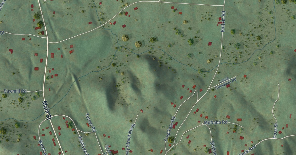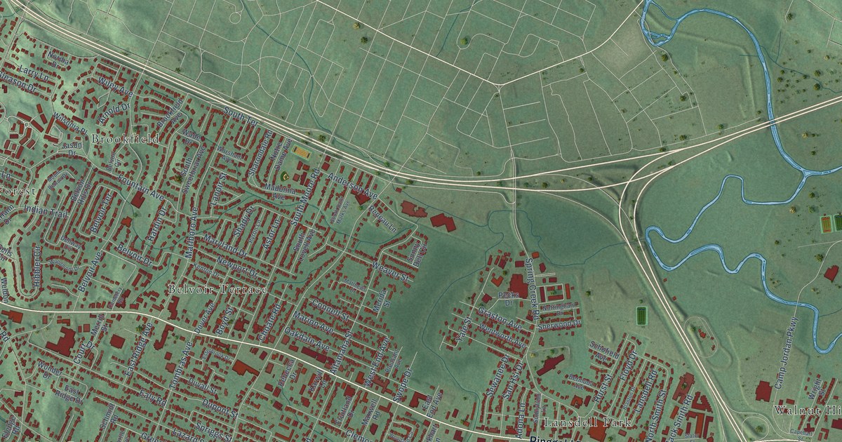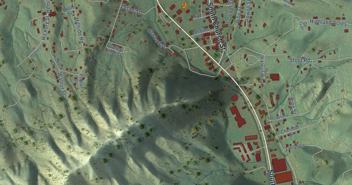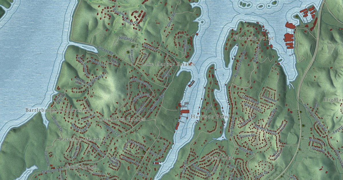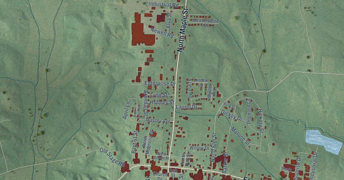
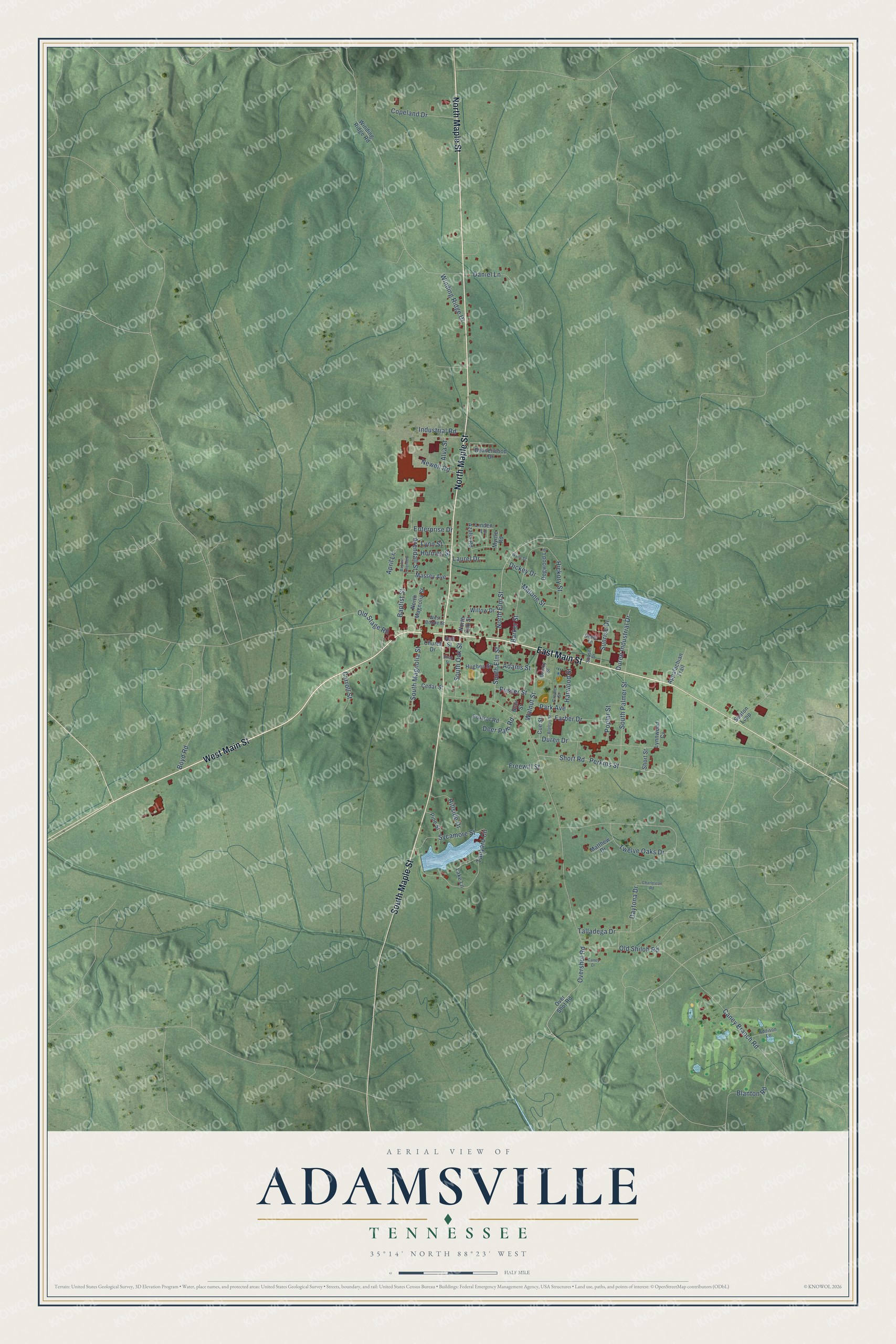
This beautifully detailed map of Adamsville, Tennessee was created in 2026 using aerial imagery combined with modern topographical, census, street and landmark data. It's a modern aerial view of Adamsville in McNairy County, Tennessee, that combines modern data with a vintage aesthetic. The roads feature printed names, and if you look closely you can find your exact house accurately shown in its correct location.
Explore an aerial view of Adamsville, Tennessee
On this map you'll find North Maple Street, West Main Street, South Maple Street, East Main Street, North Elm Street, Old Shiloh Road, Twelve Oaks Drive, Caney Branch Road, Tanyard Circle, Perkins Street, Short Road, Duren Drive, and more. Each red shape is a building, so zoom in on the preview and look for yours.
Here is a piece of Adamsville history, in the words of the record. The Historical Marker Database puts it this way: "Pioneering radio and TV personality, Dewey Phillips (May 13, 1926-September 28, 1968), was born in Crump, Tennessee and lived most of his young life in Adamsville, attending school here, at the site of Adamsville High School. Phillips remained a lifelong AHS basketball fan, frequenting games in the old gym even after he was a well-known celebrity."
Adamsville is a town in McNairy County. The Census Bureau counted 2,265 people here in 2020.
Take a closer look at the Adamsville map
Names on this map
These names are printed on this map.
Streets and roads: North Maple Street, West Main Street, South Maple Street, East Main Street, North Elm Street, Old Shiloh Road, Twelve Oaks Drive, Caney Branch Road, Tanyard Circle, Perkins Street, Short Road, Duren Drive.
More street names, A to Z
Adams Street, Addison Lane, Alva Street, Appalachian Trail, April Lane, Arendall Street, Ash Street, Azalia Road, Baptist Extended, Baptist Street, Barker Street, Beaverwood Drive, Birch Street, Blair Street, Blanton Road, Blanton Street, Boyd Road, Caney Drive, Carroll Street, Cedar Street, Charleston Road, Church Drive, Copeland Drive, Crowe Street, Cue Street, Daniel Lane, Daytona Drive, Deer Path Road, Dickey Drive, Dogwood Lane, Dorsky Street, Duren Industrial Drive, Enterprise Drive, Farber Drive, Foxtrot Road, Freewill Street, Harwood Street, Hickory Street, Hillside Drive, Holmes Street, Hughes Street, Industrial Road, Lake Lane, Laurel Drive, Linden Lane, Lynn Street, Lynnwood Cv, Malone Street, Massey Avenue, Matthew Drive, Myrtle Road, Newell Road, North Magnolia Street, North Oak Street, Old Stage Road, Overshot Road, Over Shot Road, Park Avenue, Pine Street, Poplar Street, Pusser Street, Seaton Loop, Shady Lane, Short Street, South Elm Street, South Magnolia Street, South Oak Street, South Palmer Street, Sunrise Drive, Sunset Drive, Sycamore Street, Talladega Drive, Walnut Street, West Boone Street, Willow Drive, Winding Ridge Drive, Winding Ridge Road, Wynn Street.
Created by KNOWOL in 2026. The buildings are small red shapes, the roads carry their printed names, and shaded relief shows the shape of the land. The title panel reads "AERIAL VIEW OF ADAMSVILLE TENNESSEE" with 35°14' NORTH 88°23' WEST.
It suits a den, a classroom or a front hall, and it makes a gift for anyone with Adamsville roots. Open the preview and find the block you know. See sizes and frames for the Adamsville map.