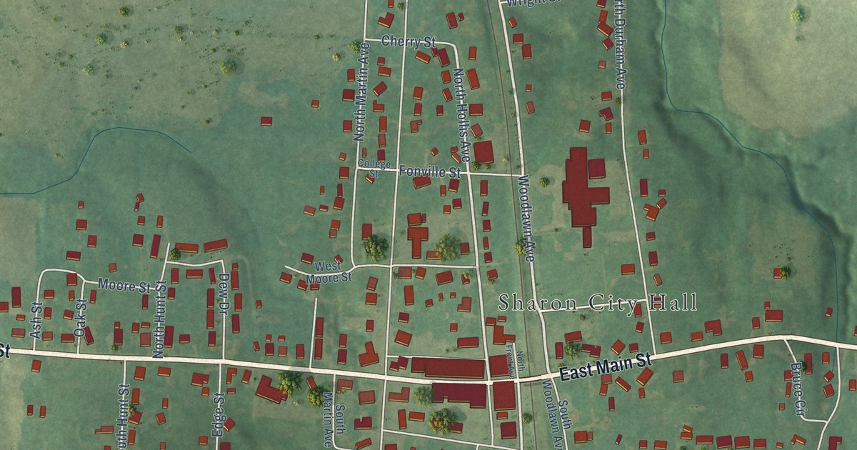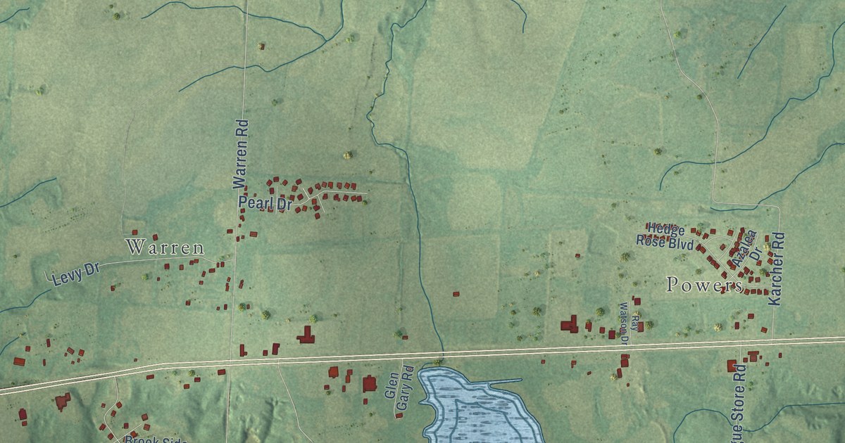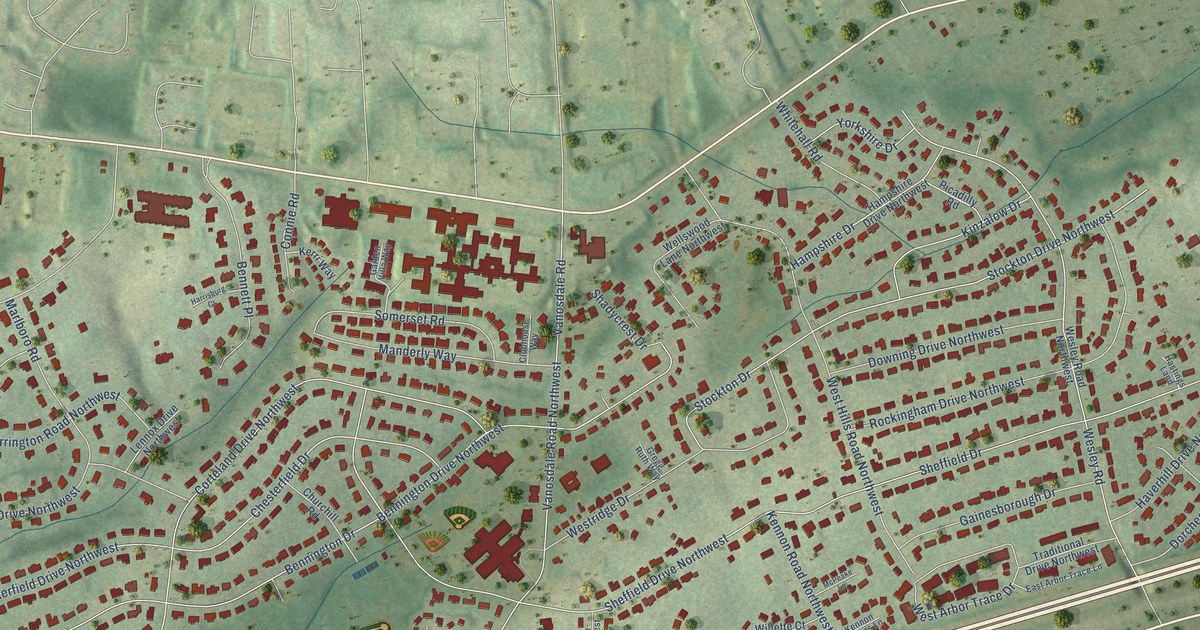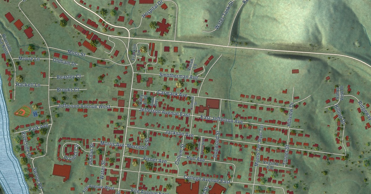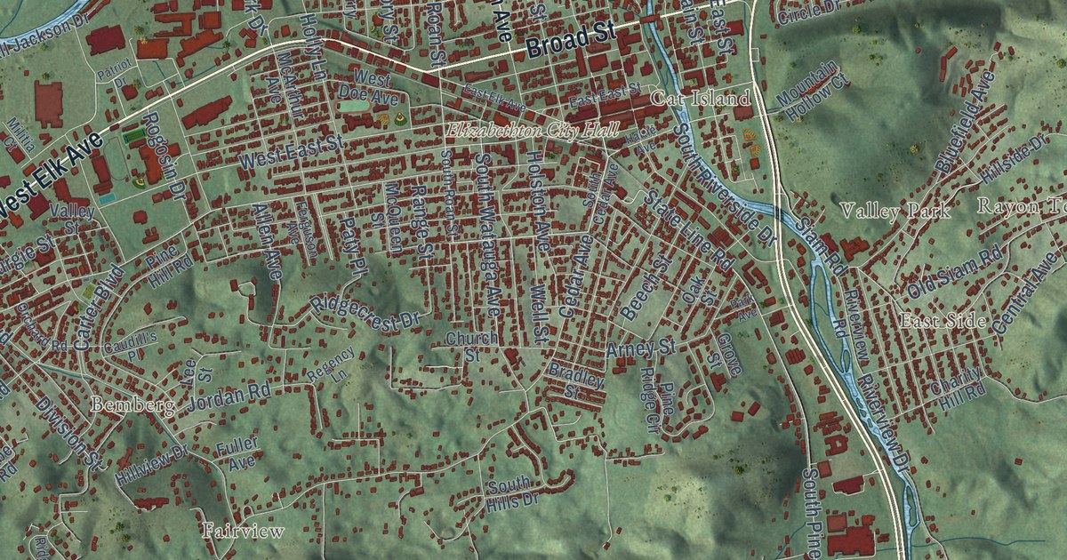
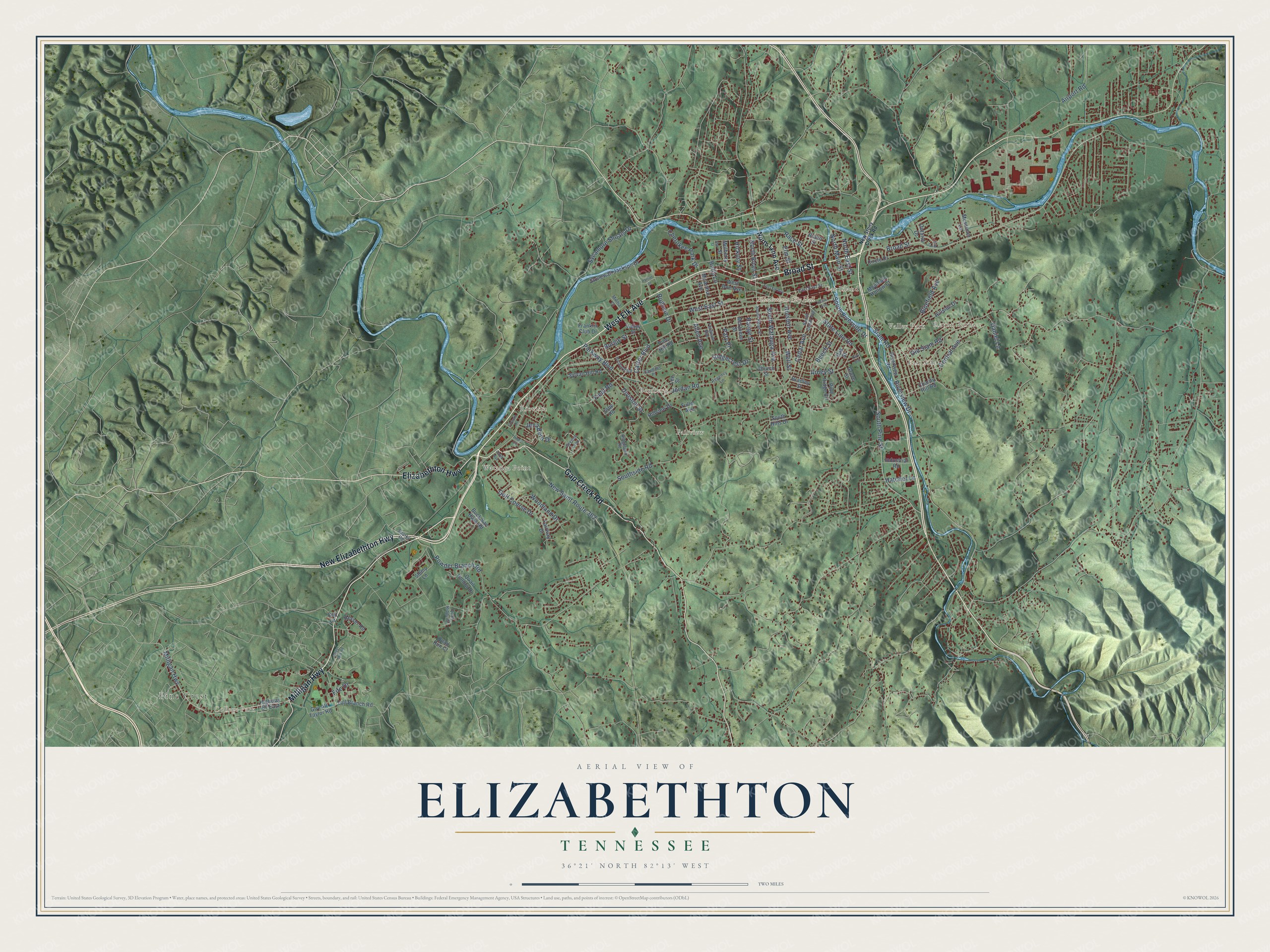
This beautifully detailed map of Elizabethton, Tennessee was created in 2026 using aerial imagery combined with modern topographical, census, street and landmark data. It’s a one-of-a-kind view of Elizabethton that combines accurate data with a vintage aesthetic. The map shows every building in its true location, many of the roads carry their names, and the shaded topographic relief shows the shape of the land.
Explore an aerial view of Elizabethton, Tennessee
On the map you’ll find Elizabethton City Hall, Pine Crest, College Park, Bemberg, Cat Island, East Side, Fairview, Milligan, Riovista, Sunset, and Valley Park, along with Rayon Terrace, and more. If you look closely you can even find your house accurately drawn in its correct location. Zoom in on the preview to look for yours.
Did you know this piece of Elizabethton, Tennessee history?
From Tennesseeencyclopedia.net: "Elizabethton, the county seat, was established in 1797 and remained a small rural village until the railroad and industrial age."
Take a closer look at the Elizabethton map
Street and place names on the Elizabethton, Tennessee map
These names are printed on the map of Elizabethton, Tennessee.
Places: Elizabethton City Hall, Pine Crest, College Park, Watauga Point, Bemberg, Rayon Terrace, Riovista, East Side, Valley Park, Fairview and Cat Island.
Streets and roads: New Elizabethton Highway, West Elk Avenue, Milligan Highway, Broad Street, Gap Creek Road, Elizabethton Highway, South Pine Street, Riverview Drive, West East Street, North Roan Street, Siam Road, State Line Road.
More street names, A to Z
Airport Road, Allen Avenue, Arney Street, Ash Street, Beech Street, Bluefield Avenue, Bradley Street, Bravo Street, Buck Van Huss Road, Burgie Street, Caleb Avenue, Carter Boulevard, Caudill's Place, Cedar Avenue, Central Avenue, Charity Hill Road, Cherokee Park Drive, Church Street, Circle Drive, Colt Lane, Daniel Lane, Division Street, East East Street, East Elk Avenue, Elm Street, Erie Lane, Fairway Drive, Ferguson Avenue, Field Road, Fife Drive, Forsyth Drive, Franklin Club Drive, Fuller Avenue, Golf Course Drive, Gov Alf Taylor Road, Greene Loop, Grove Street, Hatcher Lane, Hattie Avenue, Hickory Street, Highway 67 East, Hillside Drive, Hillview Drive, Holly Lane, Holston Avenue, Hyder Mill Road, Industrial Road, Jena Beth Drive, Jobe Road, Jordan Road, Lee Street, Linda Circle, McArthur Avenue, McQueen Street, Messimer Lane, Militia Court, Mountain Hollow Court, Mulberry Street, New Saint Route 362, New Stony Creek Road, North East Street, North Lynn Avenue, North Main Street, Oak Street, Old Siam Road, Ontario Drive, Orchard Road, Park Avenue, Parkway Boulevard, Patriot Drive, Paty Place, Pine Hill Road, Pine Ridge Circle, Powder Branch Road, Quail Hollow Drive, Quail Ridge Court, Quail Run Court, Race Street, Range Street, Regency Lane, Resser Road, Ridgecrest Drive, Ridgefield Road, Riverview Road, Rogosin Drive, Slemp Lane, South Cedar Avenue, South Hills Drive, South Riverside Drive, South Roan Street, Southside Road, South Watauga Avenue, Sparks Road, Stonewall Jackson Drive, Sycamore Shoals Drive, Sylvan Hill Road, Toll Branch Road, Valley Street, Well Street, West Doe Avenue, Woodland Drive.
See the Elizabethton, Tennessee map on a wall
The Elizabethton map as an 18 x 24 inch print in a black frame.

This beautifully detailed map of Elizabethton makes an attractive addition to your office, library, or den, and it can even be used to teach children the geography and history of the area. It also makes a great gift for someone who left Elizabethton and still calls it home. When you’re done exploring, click here to get your copy of the Elizabethton map.