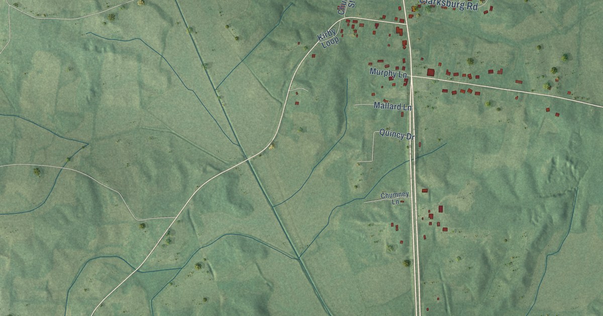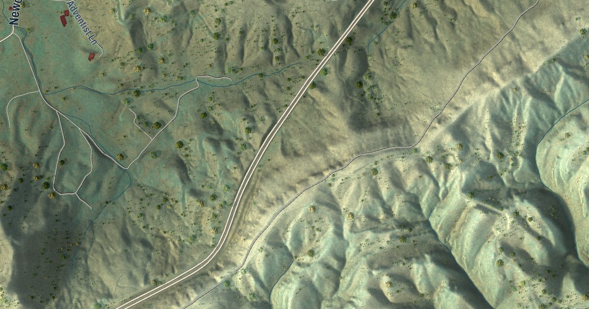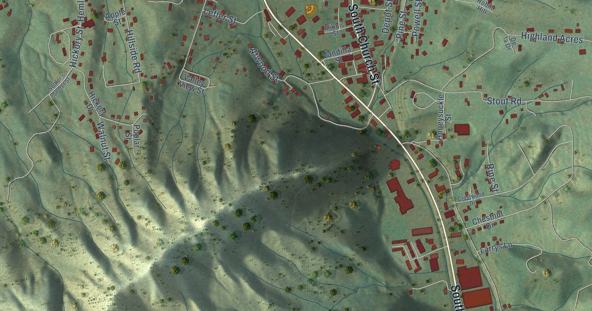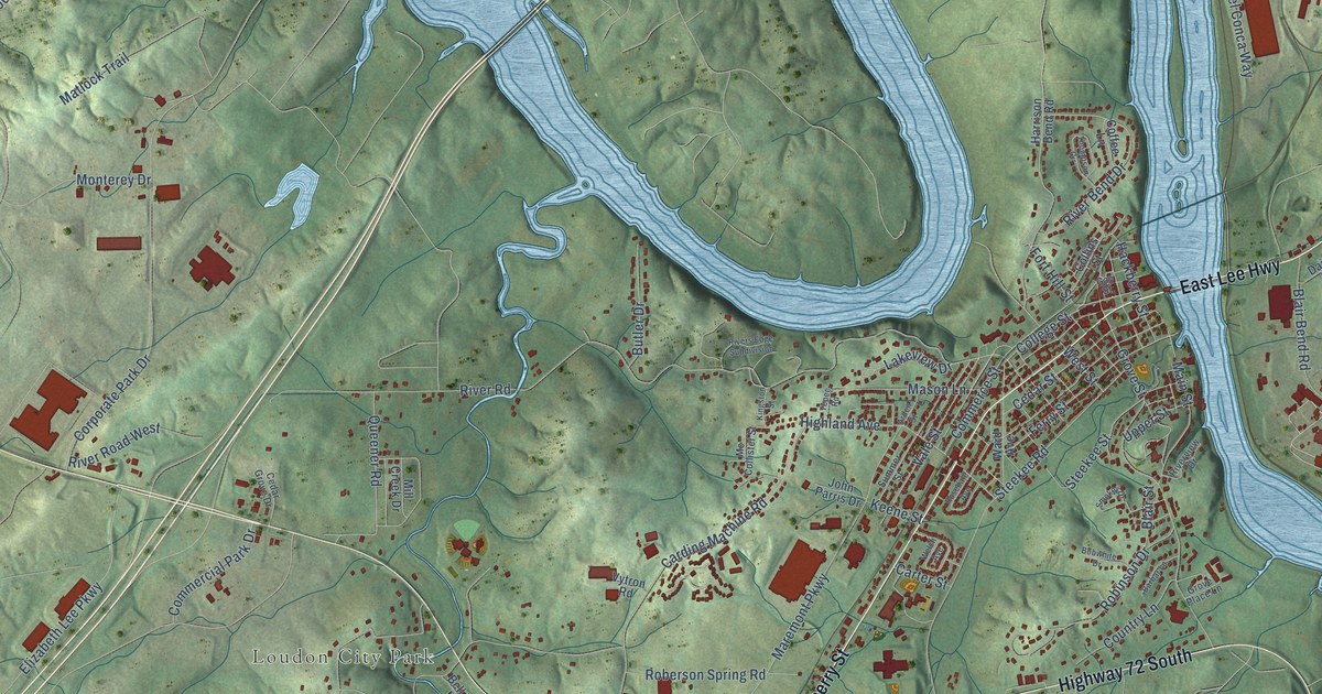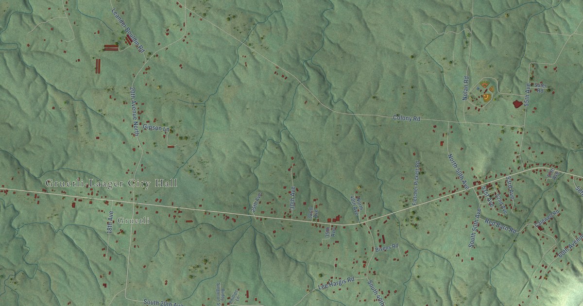
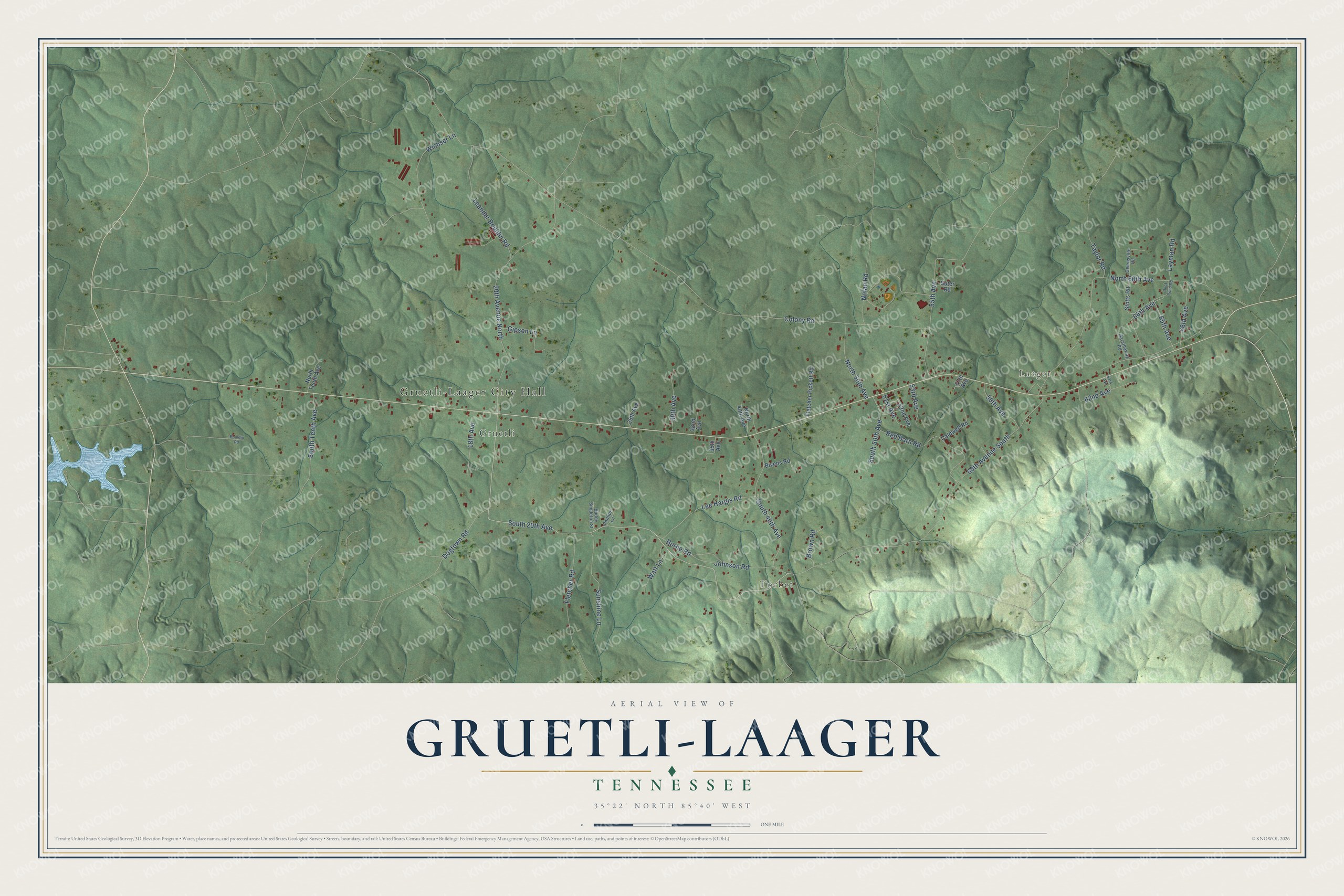
This beautifully detailed map of Gruetli-Laager, Tennessee was created in 2026 using aerial imagery combined with modern topographical, census, street and landmark data. It's a modern aerial view of Gruetli-Laager in Grundy County, Tennessee, that combines modern data with a vintage aesthetic. The roads feature printed names, and if you look closely you can find your exact house accurately shown in its correct location.
Explore an aerial view of Gruetli-Laager, Tennessee
On this map you'll find Gruetli-Laager City Hall, Gruetli, Laager, Torbet, South 20th Avenue, Colony Road, 60th Avenue South, 20th Avenue North, North 60th Avenue, South 40th Avenue, 55th Avenue, Red Barn Road, and more. Each red shape is a building, so zoom in on the preview and look for yours.
Here is a piece of Gruetli-Laager history, in the words of the record. The Tennessee Encyclopedia puts it this way: "Advertisements extolled the climate and inexpensive arable land, and poor economic and social conditions in Europe produced many German-speaking Swiss willing to move to the United States to start a new life. Nearly one hundred Swiss families, including farmers, artisans, merchants, and professionals, had arrived in Gruetli by the late 1870s."
Gruetli-Laager is a city in Grundy County. The Census Bureau counted 1,742 people here in 2020.
Take a closer look at the Gruetli-Laager map
Names on this map
These names are printed on this map.
Places: Gruetli-Laager City Hall, Gruetli, Laager and Torbet.
Streets and roads: South 20th Avenue, Colony Road, 60th Avenue South, 20th Avenue North, North 60th Avenue, South 40th Avenue, 55th Avenue, Red Barn Road, Leander Bouldin Road, Wichser Lane, Lee Hargis Road, Sunshine Lane.
More street names, A to Z
18th Avenue, 25th Avenue, 30th Avenue, 32nd Avenue, 35th Avenue, 51st Avenue, 52nd Avenue, 53rd Avenue, 57th Avenue, 58th Avenue, 62nd Avenue, 63rd Avenue, 64th Avenue, 65th Avenue, 66th Avenue, Bivens Road, Borne Road, Bouldin Road, Brown Road, Buddy Singleton Street, Caldwell Road, Dogtown Road, Duck Pond Road, Fletcher Pickett Road, Fletcher Road, Garathaway Road, Gipson Lane, Givensville Road, Johnson Road, Layman Road, Nolan Road, North 40th Avenue, North 50th Avenue, North Tenth Avenue, Phillips Lane, South 50th Avenue, South Tenth Avenue, Stotts Road, Suter Road, Taylor Road, Watt Lane.
Created by KNOWOL in 2026. The buildings are small red shapes, the roads carry their printed names, and shaded relief shows the shape of the land. The title panel reads "AERIAL VIEW OF GRUETLI-LAAGER TENNESSEE" with 35°22' NORTH 85°40' WEST.
It suits a den, a classroom or a front hall, and it makes a gift for anyone with Gruetli-Laager roots. Open the preview and find the block you know. See sizes and frames for the Gruetli-Laager map.