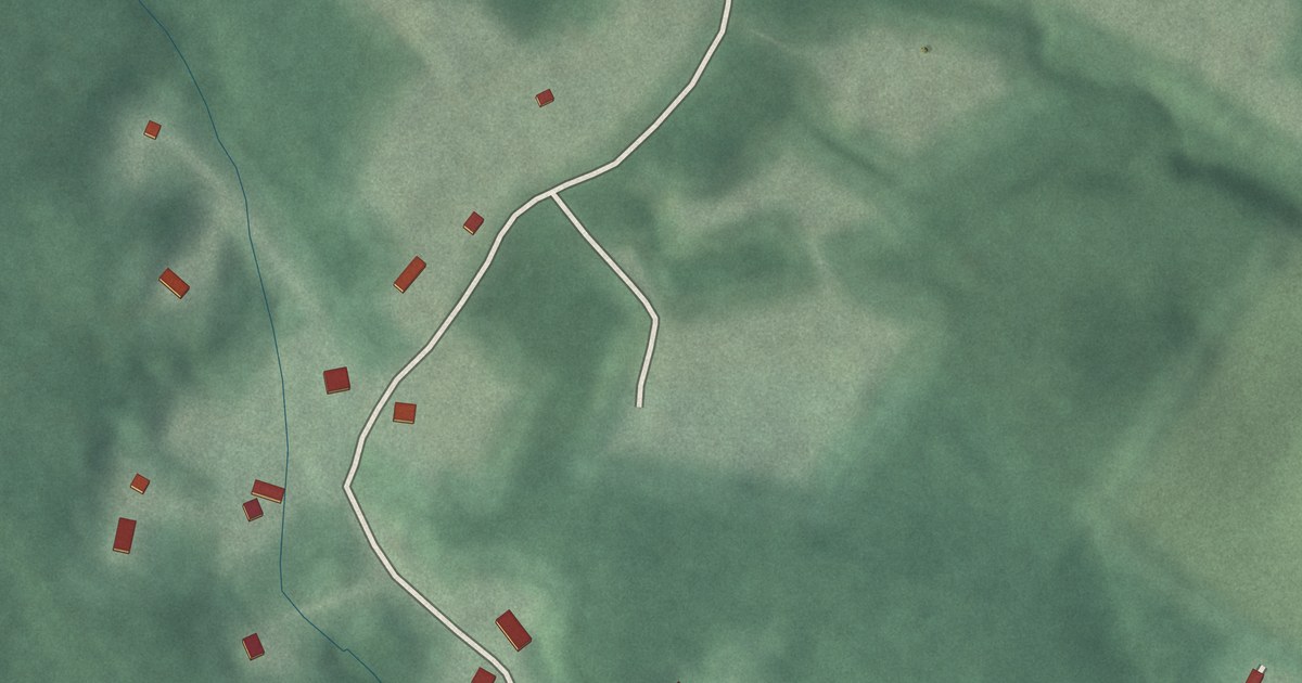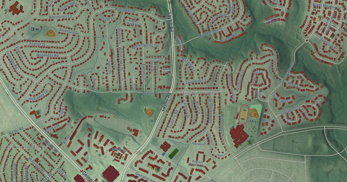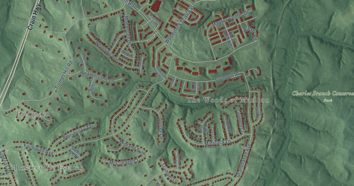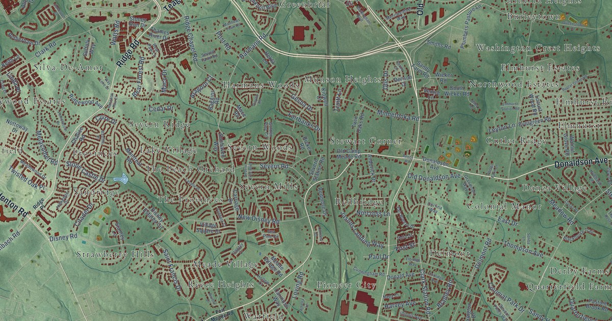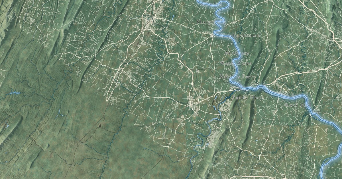
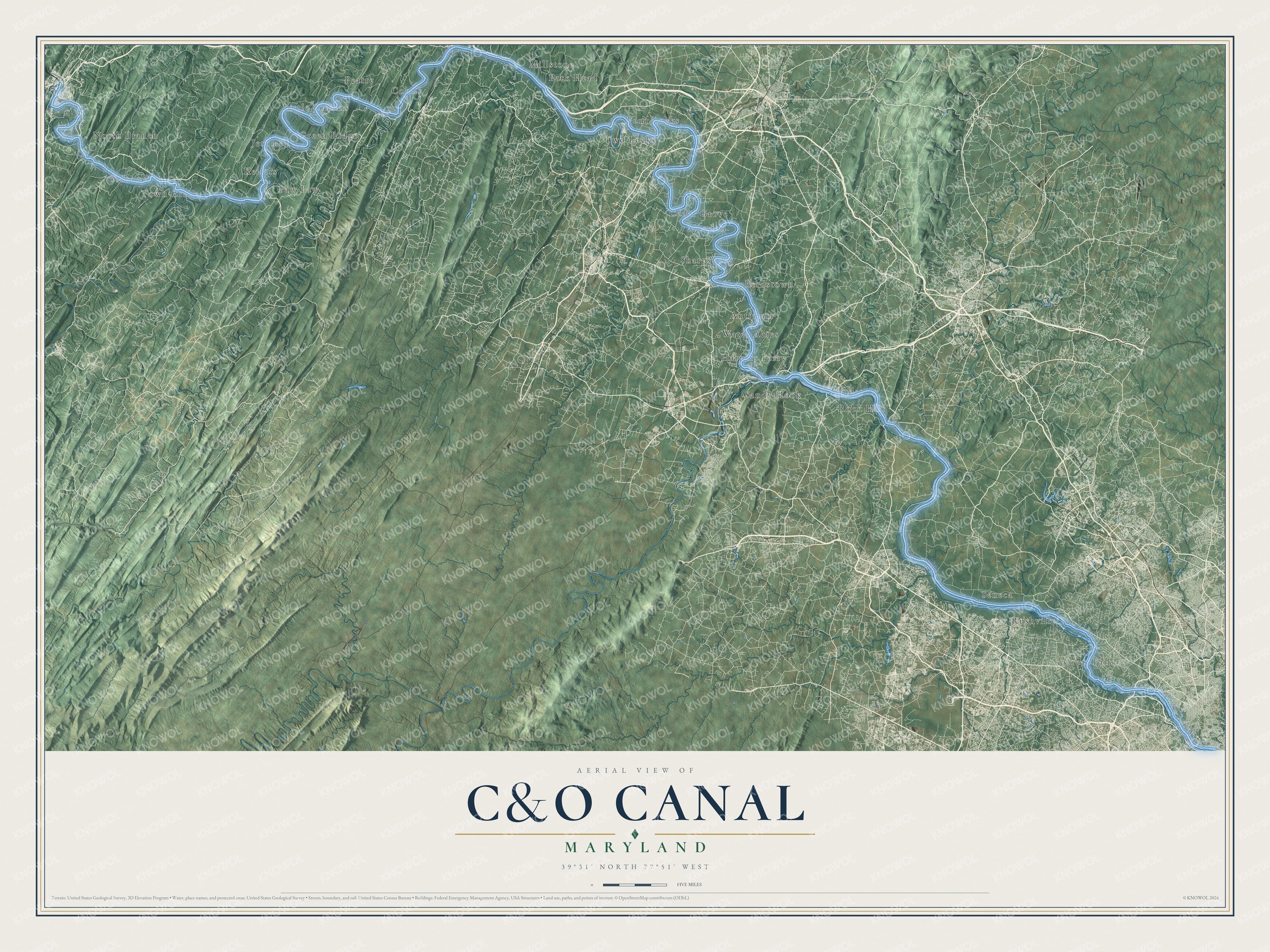
This beautifully detailed map of the C&O Canal was created in 2026 using aerial imagery combined with modern topographical, census, street and landmark data. It follows the canal’s towpath for 184.5 miles along the Potomac River, from Georgetown in Washington, D.C., past Great Falls, Harpers Ferry and Paw Paw, to Cumberland, Maryland. The towpath is drawn as a raised, sky-blue path so you can trace the whole route from end to end, and the shaded topographic relief shows the ridges and valleys the river winds through.
Explore an aerial view of the C&O Canal
On the map you’ll find Great Falls, Seneca, Harpers Ferry, Sandy Hook, Shepherdstown, Sharpsburg, Antietam, Four Locks, Little Orleans, Paw Paw, Oldtown, North Branch, and more, along with Canal Road Northwest, River Road, Harpers Ferry Road and Berm Road. If you’ve biked, paddled or walked the canal, zoom in on the preview to find the stretch you know best.
Did You Know?
From the National Park Service: “In an age before highways and planes, mules were the “engines” of the boats that traveled along the canal waterway, hauling goods and people between Georgetown and Cumberland.”
Work on the canal began on July 4, 1828, the same day the Baltimore and Ohio Railroad broke ground in Baltimore, and the two raced west toward the Ohio River. The canal reached Cumberland on October 10, 1850, after 22 years and about $14 million, and it never went any farther. Along the way it climbs 605 feet through 74 lift locks and crosses 11 aqueducts. Boats worked the canal until 1924, and on January 8, 1971, it became the Chesapeake and Ohio Canal National Historical Park. Today the towpath meets the Great Allegheny Passage in Cumberland, so you can ride all the way from Washington, D.C. to Pittsburgh.
Take a closer look at the C&O Canal map
See it on a wall
The C&O Canal map as a framed print. Swipe for more.


This beautifully detailed map of the C&O Canal makes an attractive addition to your office, library, or den, and it can even be used to teach children the geography and history of the canal. It also makes a great gift for anyone who has ridden, paddled or walked the towpath. When you’re done exploring, click here to get your copy of the C&O Canal map.