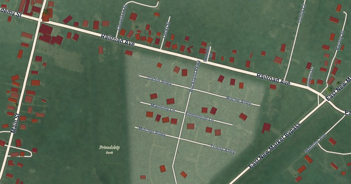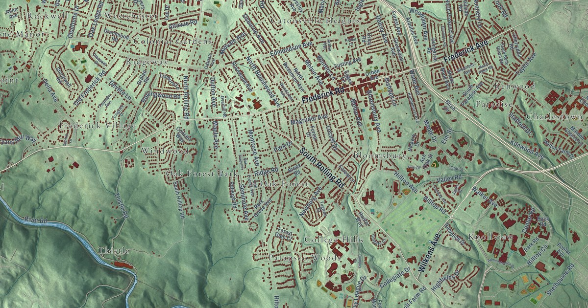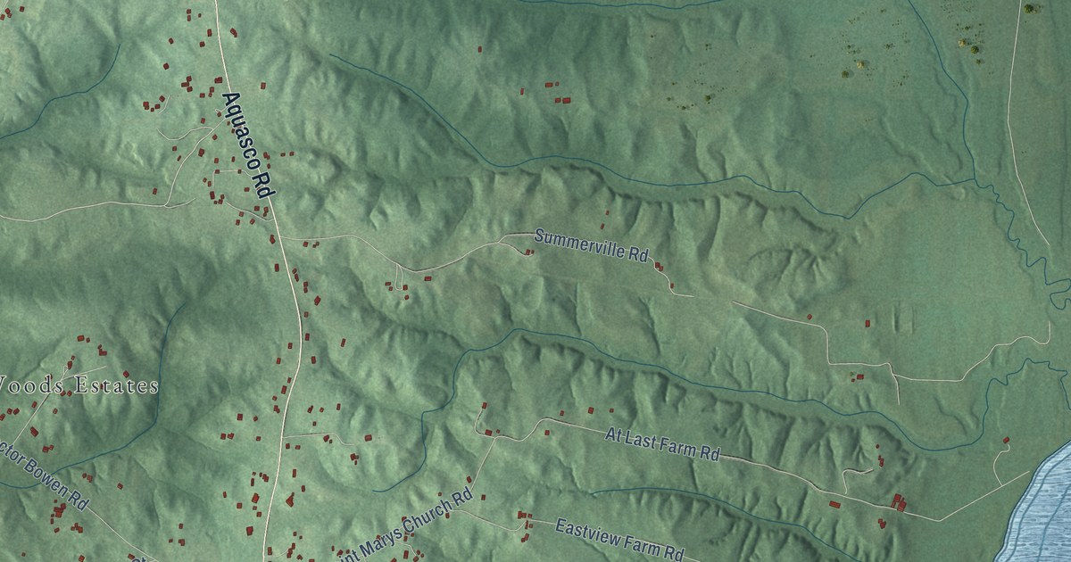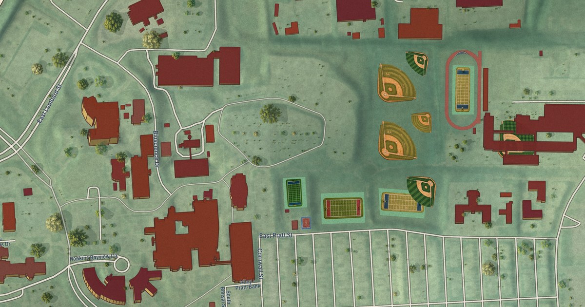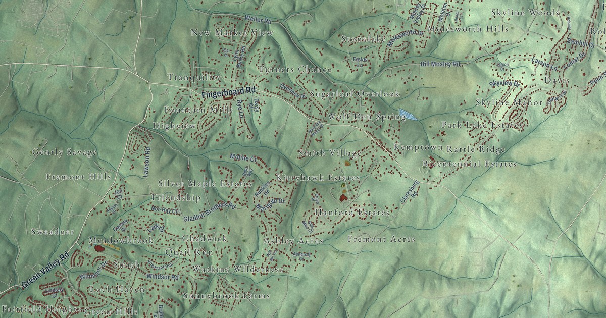
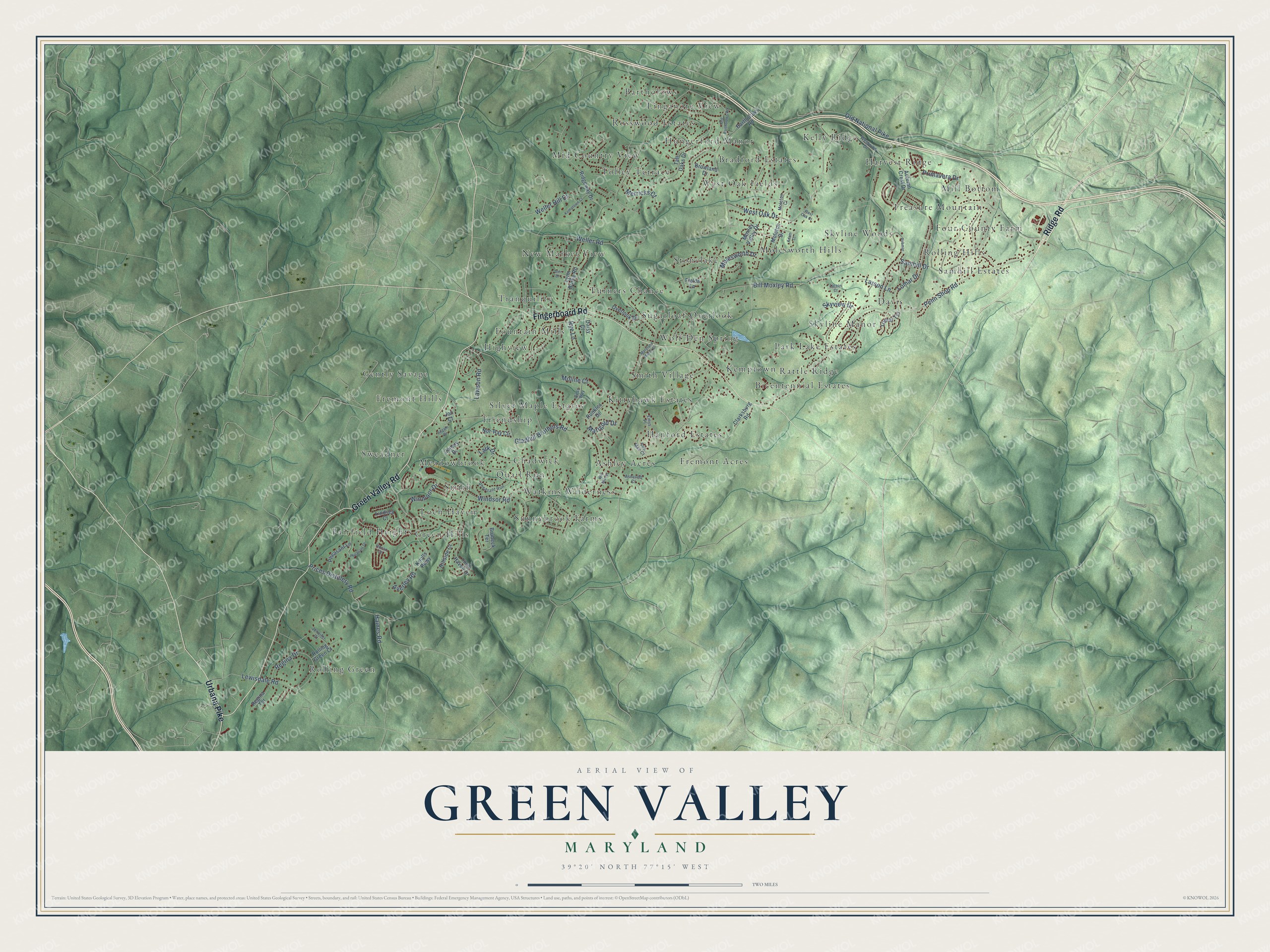
This beautifully detailed map of Green Valley, Maryland was created in 2026 using aerial imagery combined with modern topographical, census, street and landmark data. It’s a one-of-a-kind view of Green Valley that combines accurate data with a vintage aesthetic. The map shows every building in its true location, many of the roads carry their names, and the shaded topographic relief shows the shape of the land.
Explore an aerial view of Green Valley, Maryland
On the map you’ll find Silver Maple Estates, Four County Farm, Rolling Green, Green Hills, Bicentennial Estates, Davis, New Market View, Kelly Ridge, Fremont Hills, Fairfield Heights, and Bartholows, along with Tolley Terrace, and more. If you look closely you can even find your house accurately drawn in its correct location. Zoom in on the preview to look for yours.
Did You Know?
Pleasant Grove Methodist Church began when Eli Davis offered land for a church and cemetery if the community would build the church. Until then the congregation met in the old Pleasant Grove School, half a mile south on Green Valley Road, and builder James Poole finished the church in the summer of 1867. The old school was still used for church socials and suppers until the 1960s. That's from the Maryland Historical Trust.
Take a closer look at the Green Valley map
Names on this map
These names are printed on this map.
Places: Silver Maple Estates, Four County Farm, Rolling Green, Tolley Terrace, Green Hills, Bicentennial Estates, Davis, New Market View, Kelly Ridge, Fremont Hills, Fairfield Heights, Bartholows, Kittyhawk Estates, Rolling Hills, Sunnybrook Farms, West Oak Fields, Fountain Mills, Stonelake, Tranquility, Wolf Den Spring, Smith, Skyline Manor, Chadwick, Hanford Estates, Ashley Acres, Molesworth Hills, Treasure Mountain, Sugarloaf Overlook, Highview, Harvest Ridge, Hungerford Manor, Mill Bottom, Park Lake Estates, Skyline Woods, Rosswood Estates, Samhill Estates, Friendship, Meadowbrook, Turners Chance, Loch Haven, Smith Village, Watkins Wilderness, Sweadner, Mid Country View, Bradford Estates, Fremont Acres, Gently Savage, Linganore View, Rattle Ridge, Quail Run and Kemptown.
Streets and roads: Ridge Road, Urbana Pike, Green Valley Road, Fingerboard Road, Penn Shop Road, Winmoor Drive, Bill Moxley Road, Weller Road, Old National Pike, Lomar Drive, Windsor Road, Gladhill Brothers Road.
More street names, A to Z
Adam Court, Adgate Drive, Ashcroft Court, Autumn Crest Drive, Averley Road, Bartholows Road, Bess Way, Browland Drive, Brubeck Terrace, Canary Drive, Clarksburg Road, Daisy Court, Emys Place, Fields Lane, Haines Road, Hillside Court, Horan Court, Jennifer Court, Jon Court, Kemptown Court, Knolls Parkway, Lark Drive, Larson Court, Larson Lane, Lawson Road, Lewisdale Road, Lindsey Court, Loch Haven Drive, Lomar Terrace, Lynn Burke Road, Marigold Drive, Maryland Manor Drive, Merricks Court, Molesworth Drive, Moleton Court, Moleton Drive, Moline Court, Moxley Valley Drive, Nor-Ray Circle, Old Bartholows Road, Overlook Drive, Pheasant Drive, Pheasant Lane, Pheasant Run, Prices Distillery Road, Primavera Drive, Regina Drive, Regina Terrace, Ridgeway Drive, Robmar, Rolling Green Court, Runkles Drive, Rye Lane, Samhill Drive, Sier Drive, Skyview Drive, Sue Mac Court, Tall Oaks Drive, Weller Hill Drive, West Oak Court, West Oak Drive, Westwind Drive, Will Mil Terrace.
See it on a wall
The Green Valley map as a framed print. Swipe for more.


This beautifully detailed map of Green Valley makes an attractive addition to your office, library, or den, and it can even be used to teach children the geography and history of the area. It also makes a great gift for anyone with Green Valley roots. When you’re done exploring, click here to get your copy of the Green Valley map.