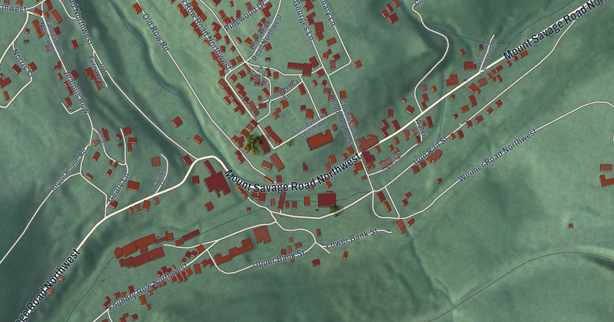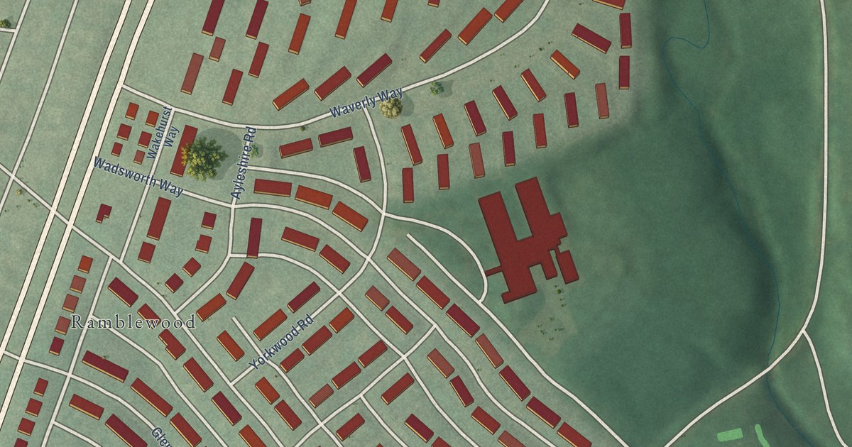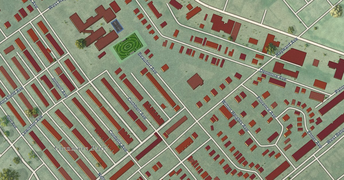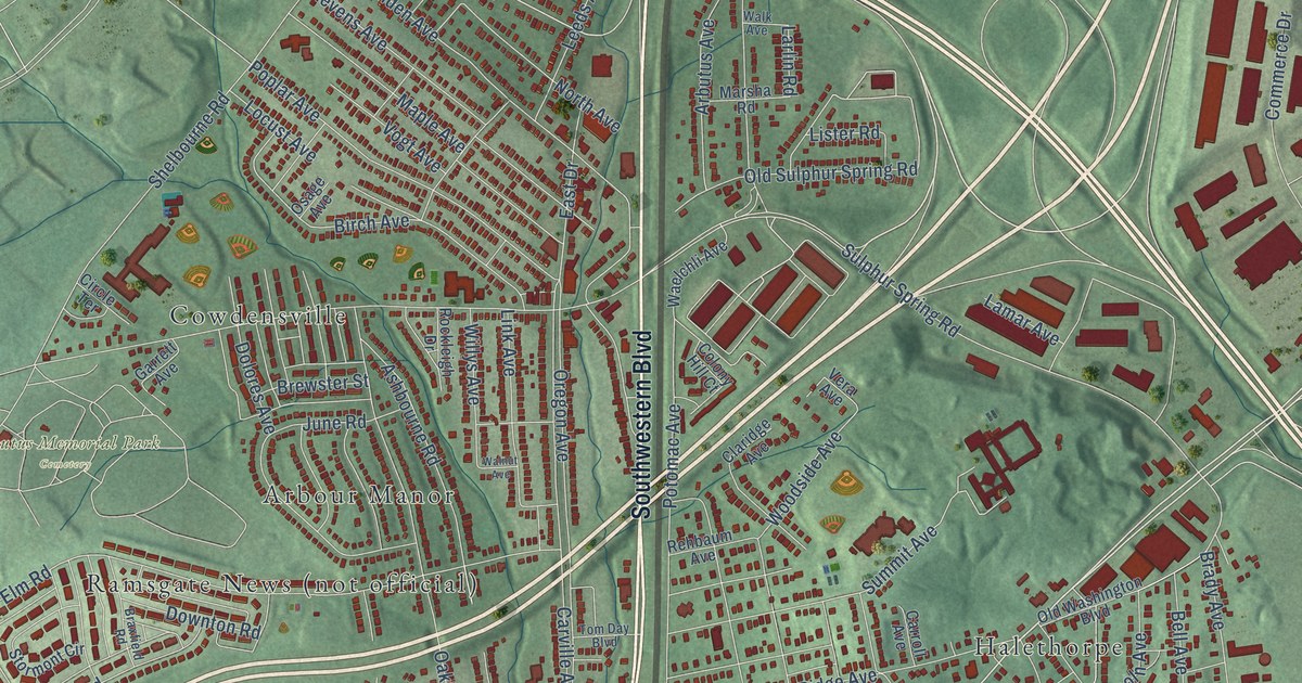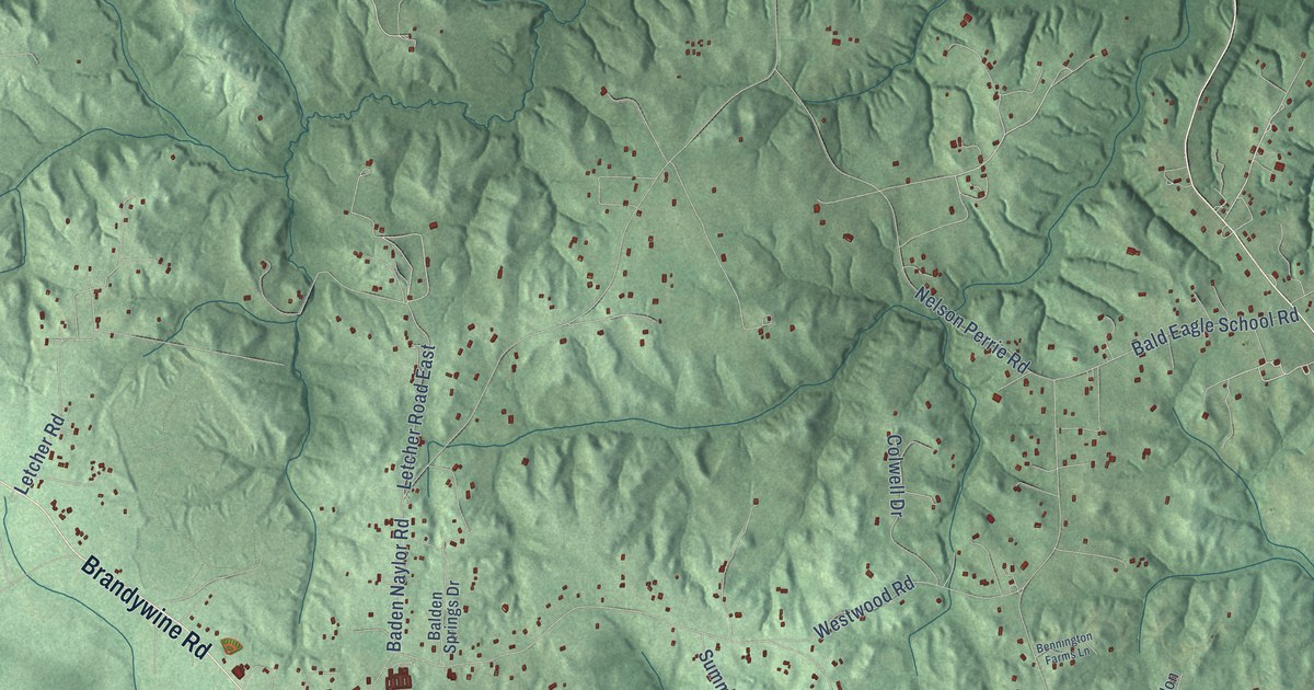
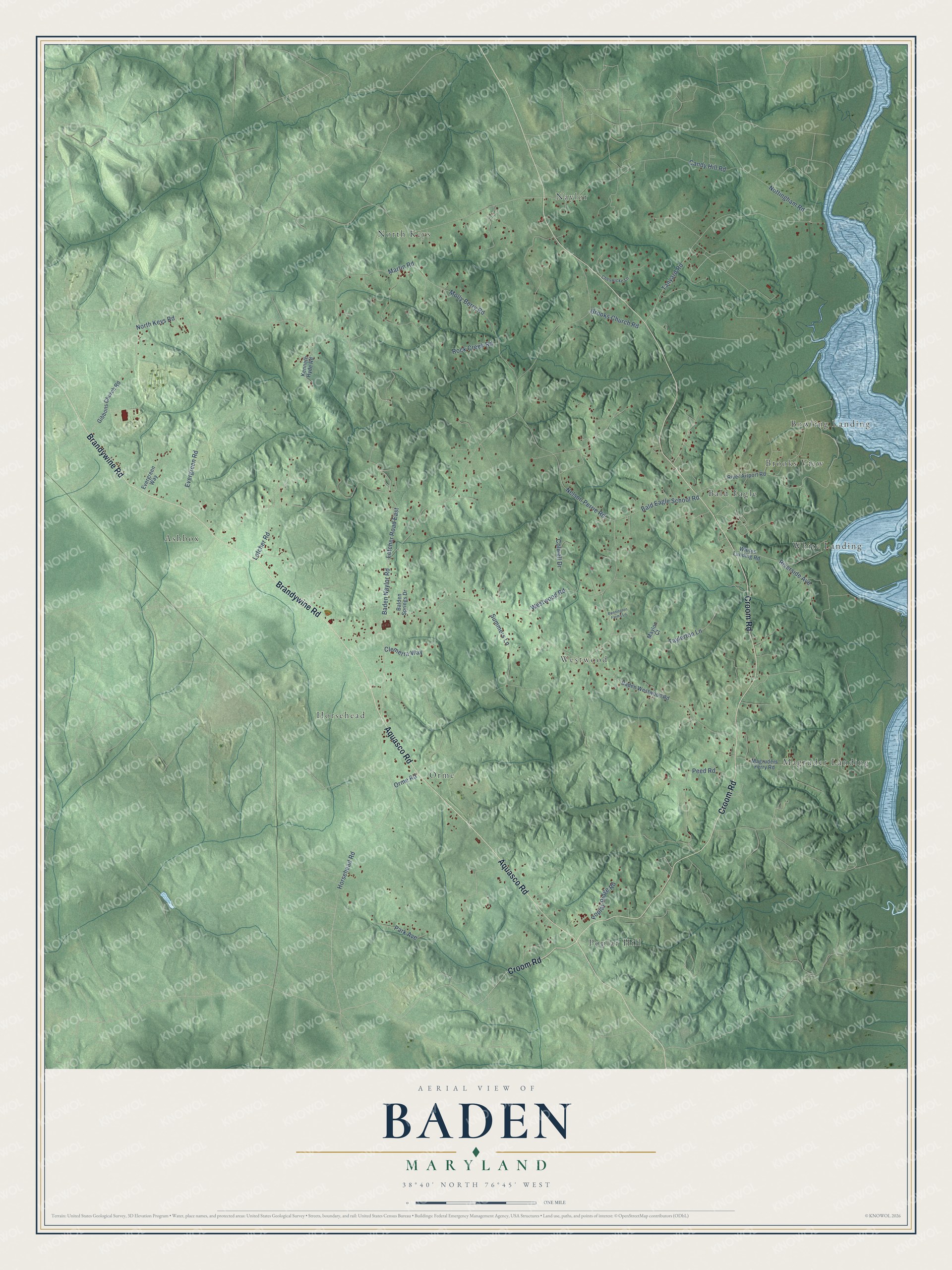
This beautifully detailed map of Baden, Maryland was created in 2026 using aerial imagery combined with modern topographical, census, street and landmark data. It's a modern aerial view of Baden in Prince George's County, Maryland, that combines modern data with a vintage aesthetic. The roads feature printed names, and if you look closely you can find your exact house accurately shown in its correct location.
Explore an aerial view of Baden, Maryland
On this map you'll find Westwood, Naylor, Poplar Hill, White Landing, Ashbox, Magruder Landing, Horsehead, North Keys, Bowling Landing, Bald Eagle, Brooks View, Orme, and more. Each red shape is a building, so zoom in on the preview and look for yours.
Every town has a first chapter, and Baden is no exception. St. Paul's Church at Baden was built of brick between 1733 and 1735 on part of a tract called the Golden Race, paid for by a tobacco levy on the parish. The church at Baden stayed in continuous use from then on. Its vestry kept minutes from 1733 on, and the parish preserved a Bible bought in England in 1739. That's from the Maryland Historical Trust.
Baden is a community in Prince George's County. The Census Bureau counted 2,114 people here in 2020.
Take a closer look at the Baden map
Names on this map
These names are printed on this map.
Places: Westwood, Naylor, Poplar Hill, White Landing, Ashbox, Magruder Landing, Horsehead, North Keys, Bowling Landing, Bald Eagle, Brooks View and Orme.
Streets and roads: Croom Road, Aquasco Road, Brandywine Road, Tanyard Road, Park Avenue, Baden Naylor Road, Candy Hill Road, Horsehead Road, Martin Road, Bald Eagle School Road, Molly Berry Road, Nelson Perrie Road.
More street names, A to Z
Baden Westwood Road, Balden Springs Drive, Bennington Farms Lane, Brooks Church Road, Cheswicke Lane, Clemerra Way, Colwell Drive, Evergreen Road, Evergreen Way, Gibbons Church Road, Kenneth Hyde Road, Letcher Road, Letcher Road East, Magruders Ferry Road, Maylon Court, North Keys Road, Nottingham Road, Orme Road, Peed Road, Poplar Ridge Road, River Airport Road, Riverside Avenue, Rock Creek Road, Summers Lane, Taylerton Lane, Westwood Road, Whites Landing Road.
See it on a wall
The Baden map as a framed print. Swipe for more.


Created by KNOWOL in 2026. The buildings are small red shapes, the roads carry their printed names, and shaded relief shows the shape of the land. The title panel reads "AERIAL VIEW OF BADEN, MARYLAND" with 38°40' NORTH 76°45' WEST.
Hang it in the hallway, the office or the cabin, or give it to someone who left Baden and still calls it home. Open the preview and look for a street you know. See sizes and frames for the Baden map.