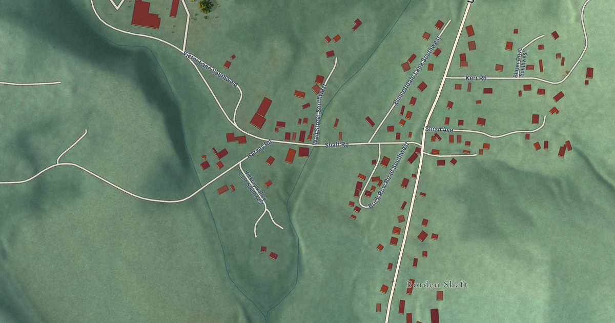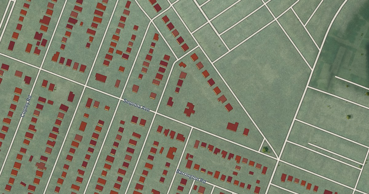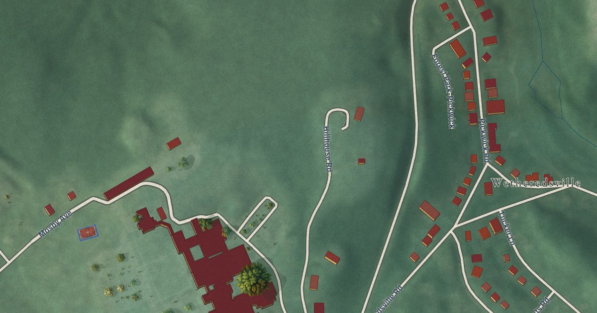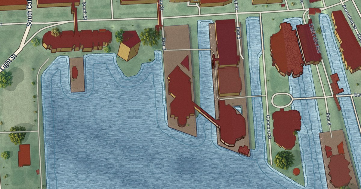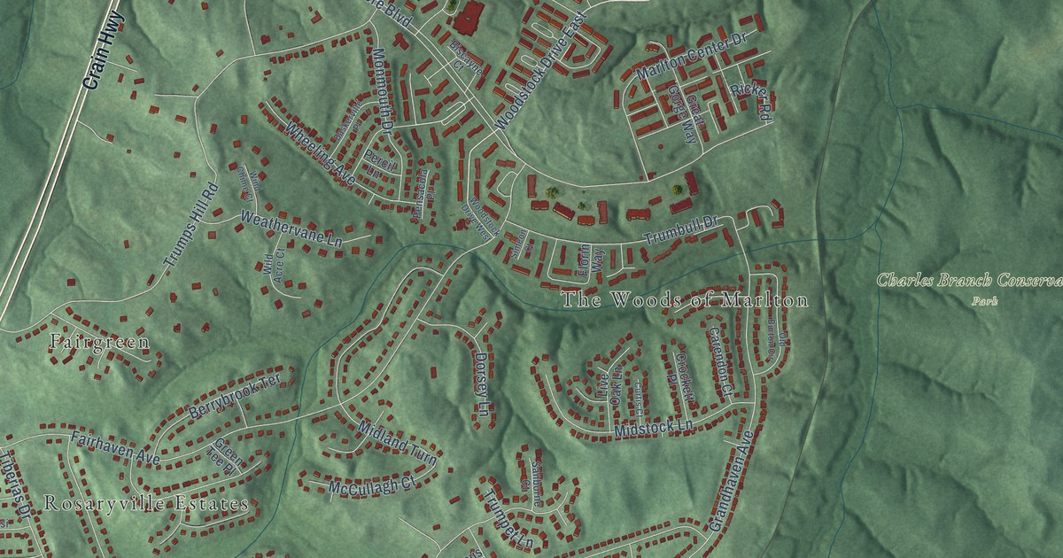
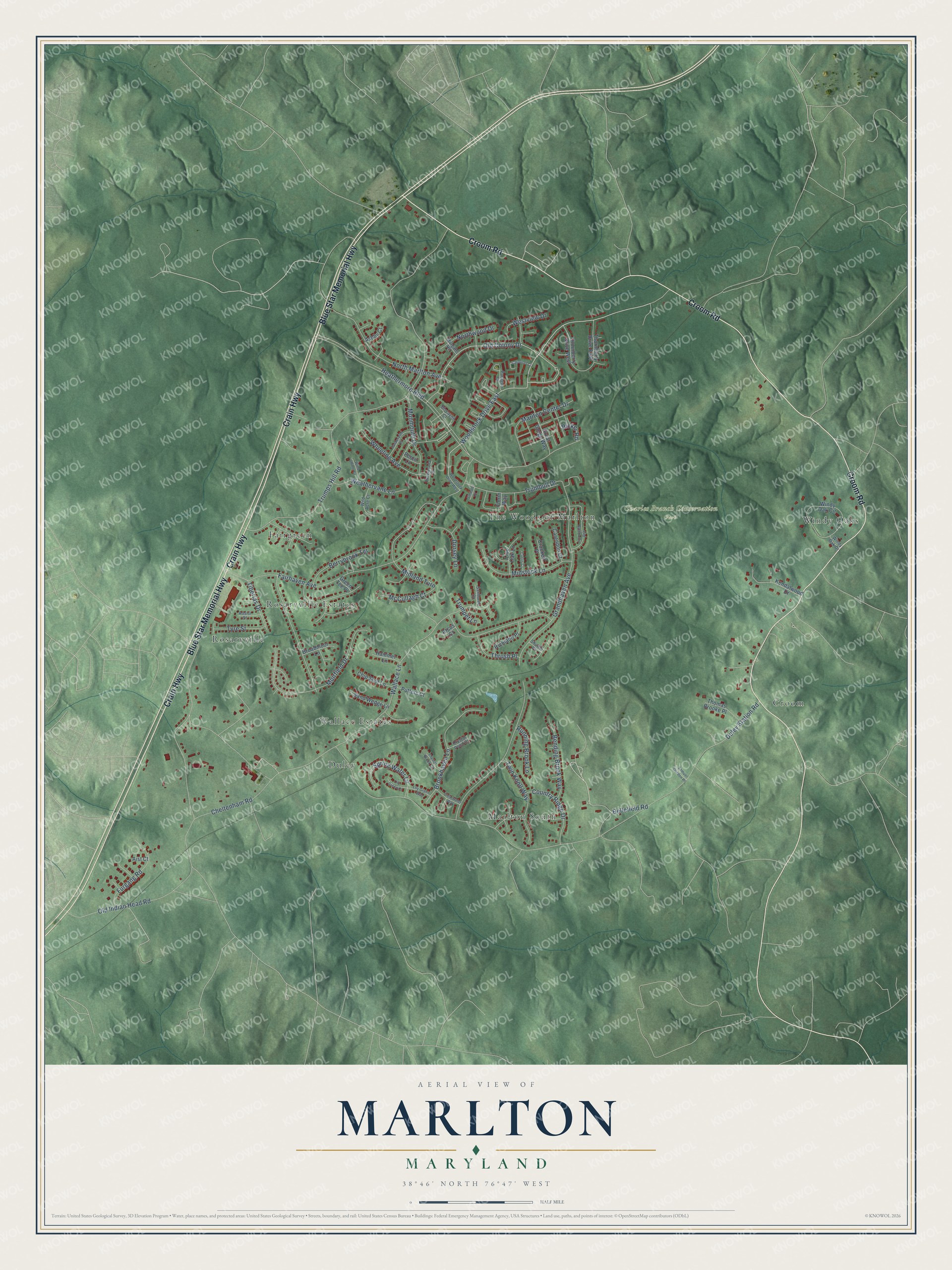
This beautifully detailed map of Marlton, Maryland was created in 2026 using aerial imagery combined with modern topographical, census, street and landmark data. It's a modern aerial view of Marlton in Prince George's County, Maryland, that combines modern data with a vintage aesthetic. The roads feature printed names, and if you look closely you can find your exact house accurately shown in its correct location.
Explore an aerial view of Marlton, Maryland
On this map you'll find Charles Branch Conservation Park, Duley, Fairgreen, Croom, Windy Oaks, Marlton South, The Woods of Marlton, Rosaryville, Rosaryville Estates, Wallace Estates, Crain Highway, Blue Star Memorial Highway, and more. Each red shape is a building, so zoom in on the preview and look for yours.
Every town has a first chapter, and Marlton is no exception. Bellefields was built around 1720 by Dr. Patrick Sim, who fled Scotland after the 1715 rebellion and took up the 2,000-acre Sim's Delight tract. His oldest son, Colonel Joseph Sim, was born there and served in the Convention that governed Maryland at the start of the Revolution and on the state's first Privy Council in 1777. That's from the Maryland Historical Trust.
Marlton is a community in Prince George's County. The Census Bureau counted 9,802 people here in 2020.
Take a closer look at the Marlton map
Names on this map
These names are printed on this map.
Places: Charles Branch Conservation Park, Duley, Fairgreen, Croom, Windy Oaks, Marlton South, The Woods of Marlton, Rosaryville, Rosaryville Estates and Wallace Estates.
Streets and roads: Crain Highway, Blue Star Memorial Highway, Croom Road, Grandhaven Avenue, Old Colony Drive, Woodstock Drive East, Duley Station Road, Heathermore Boulevard, Trumps Hill Road, Old Indian Head Road, Fairhaven Avenue, Midland Turn.
More street names, A to Z
Aist Court, Arcus Court, Ashby Court, Assisi Street, Baskerville Place, Bellefield Road, Bending Brook Way, Berrybrook Terrace, Biscayne Court, Broadmoor Lane, Brookhaven Lane, Carendon Court, Carousel Court, Cheltenham Road, Chip Shot Lane, Clearwater Way, Country Ridge Drive, Crockett Place, Crystal Brook Court, Crystal Pond Court, Curtis Court, Dorsey Lane, Florin Way, Furgang Road, Great Gorge Way, Green Tee Place, Hammer Lane, Kendalwood Drive, Lily Green Court, Lily Green Way, Live Oak Lane, Margate Road, Marlton Center Drive, McCullagh Court, Midstock Lane, Monmouth Drive, Muirfield Drive, North Marlton Avenue, Northwood Drive, Old Burton Circle, Paragon Court, Pensacola Place, Percil Lane, Putters Court, Richland Place, Ricker Road, Running Brook Lane, Samuel Gordon Place, Sanborne Court, Sand Wedge Lane, Shuttle Place, Simeon Court, Spring Water Lane, Thomas Brooke Place, Thornberry Drive East, Thornberry Drive West, Thrush Place, Tiberias Drive, Trumbull Drive, Trumpet Lane, Twin Knoll Way, Tyre Street, Wallace Lane, Weathervane Lane, Westview Drive, Wheeling Avenue, Wild Acre Court, Wind Chime Court, Windy Oak Circle, Windy Oak Drive, Woodstock Drive West.
See it on a wall
The Marlton map as a framed print. Swipe for more.


Created by KNOWOL in 2026. The buildings are small red shapes, the roads carry their printed names, and shaded relief shows the shape of the land. The title panel reads "AERIAL VIEW OF MARLTON, MARYLAND" with 38°46' NORTH 76°47' WEST.
Hang it in the hallway, the office or the cabin, or give it to someone who left Marlton and still calls it home. Open the preview and look for a street you know. See sizes and frames for the Marlton map.