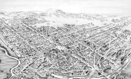
This historic map of Sandusky, Ohio was created in 1870 by Albert Ruger & J.J. Stoner, two prominent 19th century map makers. The map shows a bird’s eye view of the city as it once was, including street names and old landmarks.
Landmarks on the map include Sandusky FIre Engine House, Miami Park, Huron Park, Washington Square, Ward Schools, B&O Railroad Depot, Sandusky Fairgrounds, County Jail, and more.
This historic map of Sandusky was restored by KNOWOL. Reproductions of the restored map are available here.
Historic Old Map of Sandusky, Ohio from 1870
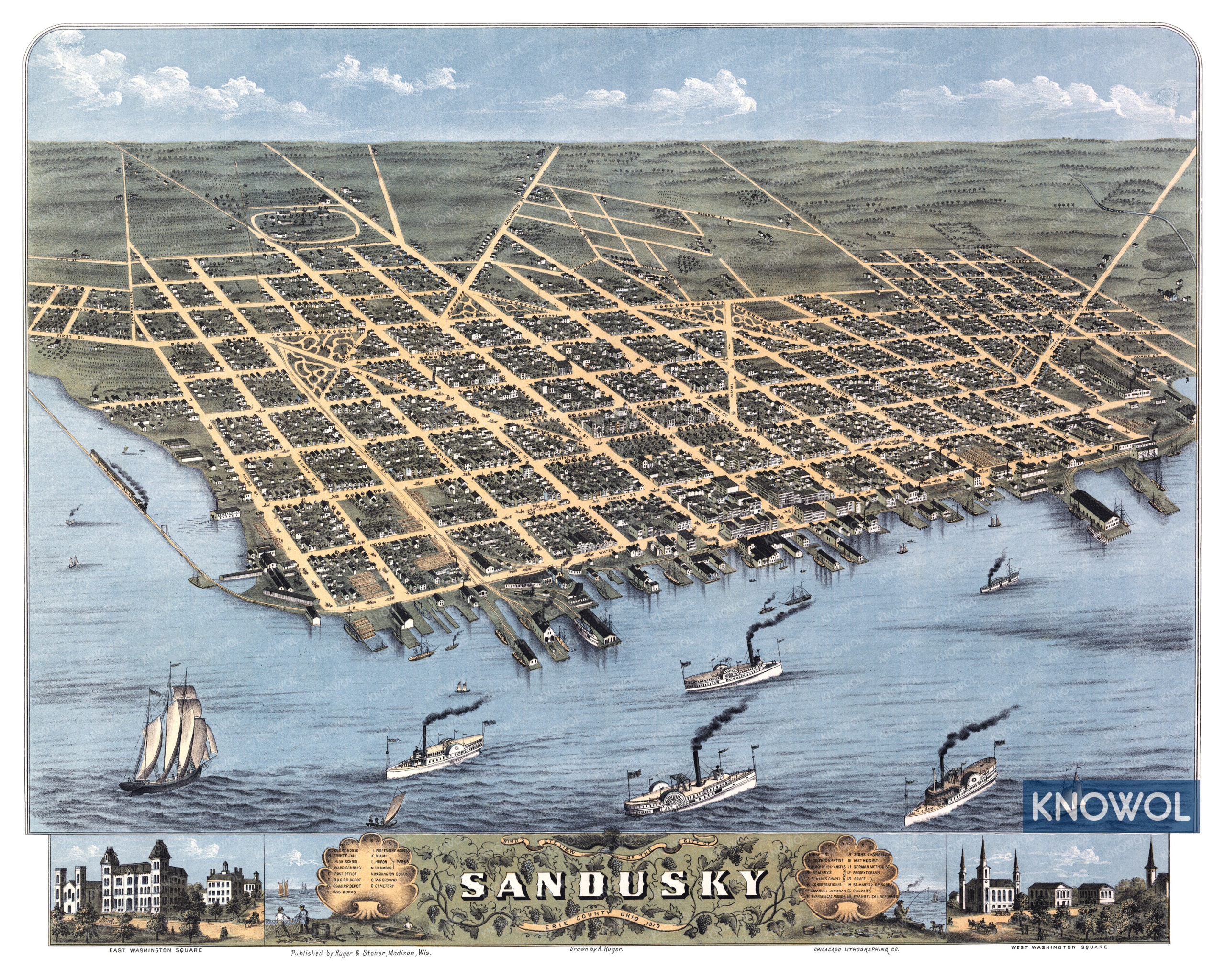
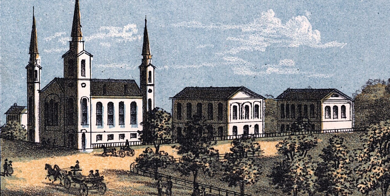
Detailed illustrations in the bottom border of the map show close-up views of East and West Washington Square, along with two scenes of men hauling in nets and fishing in Sandusky Bay.
This map of Sandusky will make an attractive addition to your office, library, or den, and can even be used to teach children the geography and history of the area. When you’re done exploring, click here to get your copy.